Let's Go Play Outside
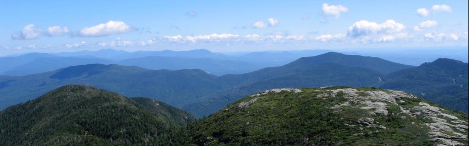
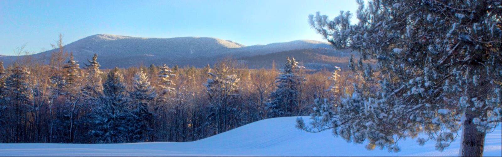
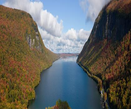
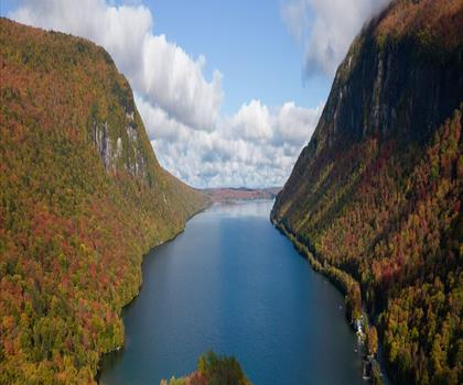
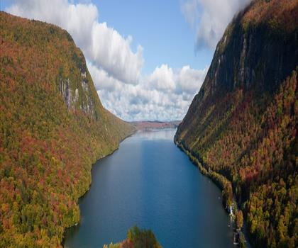
Mont Mansfield, Vermont, Vallée de Champlain

Randonnée près de Burlington

Choisis le trajet. Garde du temps pour marcher.

235 sentiers à moins de 2 h de route de Burlington. Compare le trajet, la durée de marche et le niveau pour choisir ta prochaine sortie.

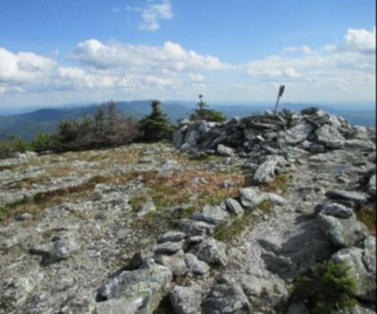
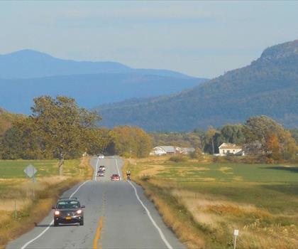
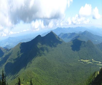
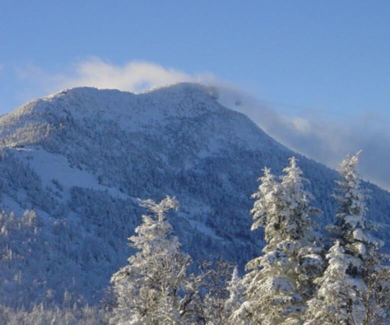
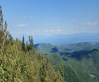
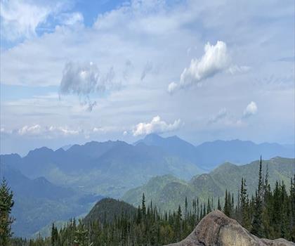
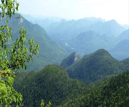
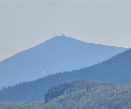
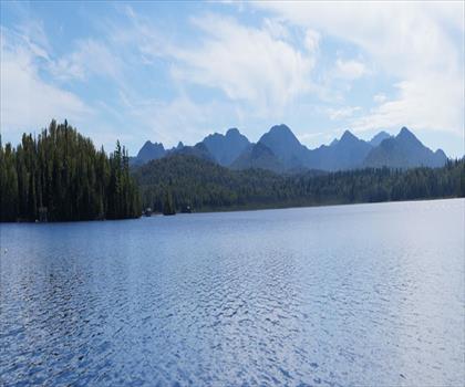
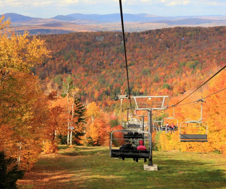
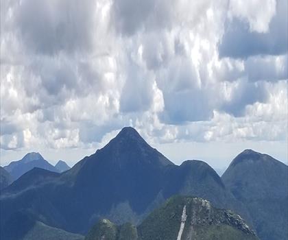
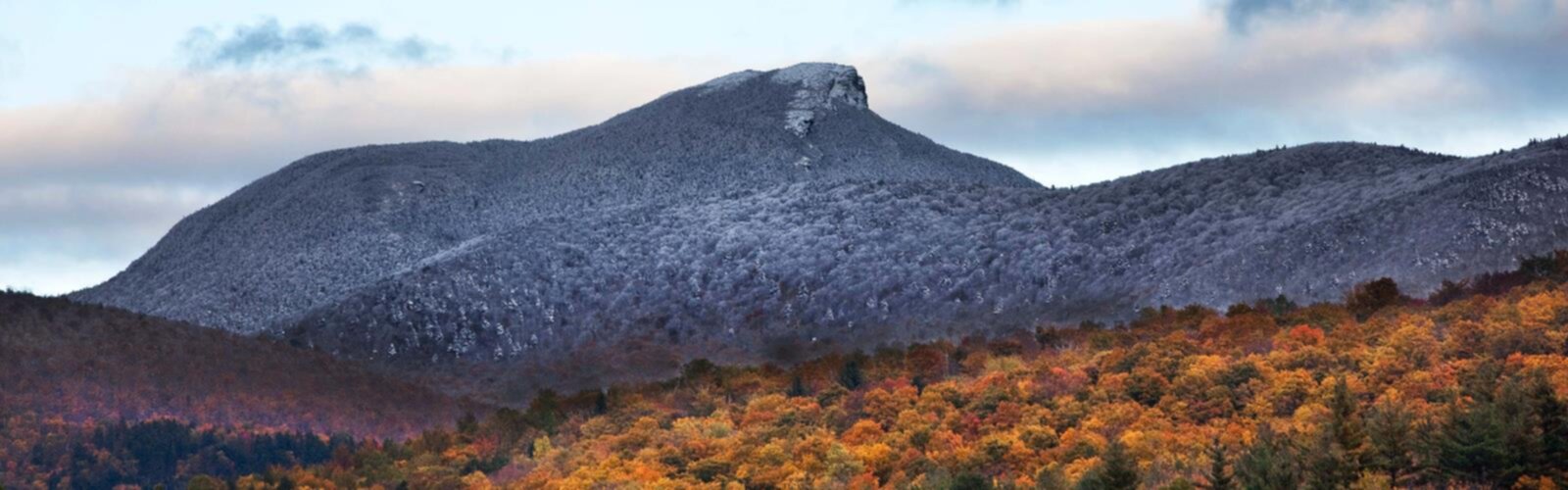
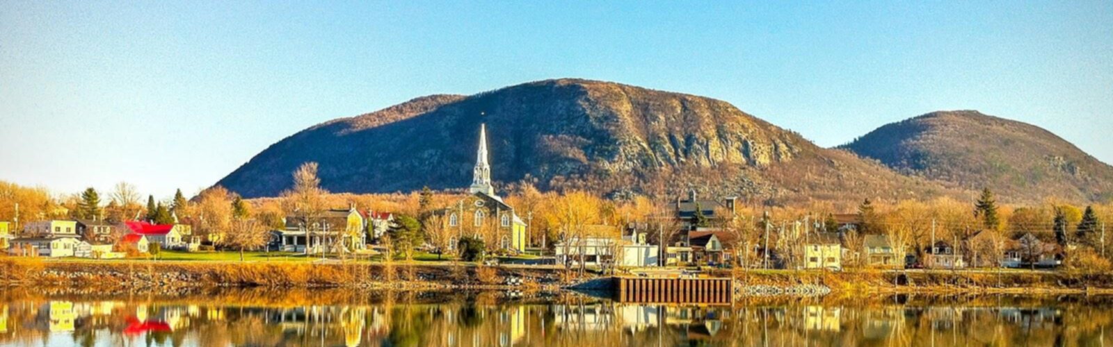
Photo : Mont Mansfield, Vermont

Trajet aller maximum
Avec mon chien

Trajets estimés (≈) depuis le centre-ville, à vol d'oiseau. La marche est celle de la fiche, quand elle est indiquée ; un filtre de marche masque les sentiers sans durée.

Nos idées de randonnée près de Burlington

Voir toutes les sorties
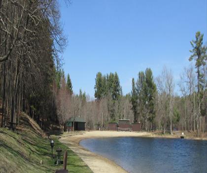
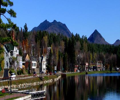
Sentier Parc Arthur - randonnée en Vallée de Champlain

Trajet aller ≈ 4 min Marche 1 h

Parc Arthur

Au cœur du Vermont, ce parcours court et facile avec un dénivelé modéré offre une expérience accessible dans la vallée de…

Règlement chien à consulter sur la fiche

Voir le parcours
Sentier Mont Bread Loaf, Vermont - randonnée en Montagnes Vertes

Trajet aller ≈ 1 h 09 Marche 6 h 30

Mont Bread Loaf, Vermont

Au cœur des Green Mountains du Vermont, cette randonnée intermédiaire de 14,3 km traverse des forêts denses jusqu'au sommet de 1…

Chiens acceptés

Voir le parcours

Les sentiers près de Burlington

8 sentiers affichés sur 235
  • Sentier Parc Arthur - randonnée en Vallée de Champlain

    Parc Arthur

    Vallée de Champlain

    Trajet aller ≈ 4 min Marche 1 h

    Niveau : Facile

  • Sentier Parc Red Rocks - randonnée en Vallée de Champlain

    Parc Red Rocks

    Vallée de Champlain

    Trajet aller ≈ 5 min Marche 1 h

    Niveau : Facile

  • Sentier Zen Gardens - randonnée en Vallée de Champlain

    Zen Gardens

    Vallée de Champlain

    Trajet aller ≈ 6 min Marche 1 h 30

    Niveau : Facile

  • Sentier Parc Causeway - randonnée en Vallée de Champlain

    Parc Causeway

    Vallée de Champlain

    Trajet aller ≈ 14 min Marche 1 h

    Niveau : Facile

  • Sentier Baie Niquette - randonnée en Vallée de Champlain

    Baie Niquette

    Vallée de Champlain

    Trajet aller ≈ 15 min Marche 1 h 15

    Niveau : Facile

  • Sentier Mont Bolton, Vermont - randonnée en Vallée de Champlain

    Mont Bolton, Vermont

    Vallée de Champlain

    Trajet aller ≈ 36 min Marche 4 h 30

    Niveau : Difficile

  • Sentier Catamount Trl - randonnée en Vallée de Champlain

    Catamount Trl

    Vallée de Champlain

    Trajet aller ≈ 37 min Marche 1 h 15

    Niveau : Facile

  • Sentier Camel Hump - randonnée en Vallée de Champlain

    Camel Hump

    Vallée de Champlain

    Trajet aller ≈ 38 min Marche 5 h 30

    Niveau : Intermédiaire

  • Sentier Sunset Ridge Trail - randonnée en Vermont Central

    Sunset Ridge Trail

    Vermont Central

    Trajet aller ≈ 38 min Marche 3 h 30

    Niveau : Difficile

  • Sentier Chutes Bingham - randonnée en Vermont Central

    Chutes Bingham

    Vermont Central

    Trajet aller ≈ 43 min Marche 30 min

    Niveau : Facile

  • Sentier Sentier Mill - randonnée en Vermont Central

    Sentier Mill

    Vermont Central

    Trajet aller ≈ 44 min Marche 45 min

    Niveau : Facile

  • Sentier Mont Stark, Vermont - randonnée en Vermont Central

    Mont Stark, Vermont

    Vermont Central

    Trajet aller ≈ 48 min Marche 4 h 15

    Niveau : Intermédiaire

  • Sentier Mont Ellen, Vermont - randonnée en Vermont Central

    Mont Ellen, Vermont

    Vermont Central

    Trajet aller ≈ 51 min Marche 5 h 45

    Niveau : Intermédiaire Chiens acceptés

  • Sentier Cutts Peak, Vermont - randonnée en Vermont Central

    Cutts Peak, Vermont

    Vermont Central

    Trajet aller ≈ 51 min Marche 3 h 35

    Niveau : Facile Chiens acceptés

  • Sentier Mont Ellen - randonnée en Vermont Central

    Mont Ellen

    Vermont Central

    Trajet aller ≈ 51 min Marche 4 h 30

    Niveau : Difficile Chiens acceptés

  • Sentier Sunset Rock - randonnée en Vermont Central

    Sunset Rock

    Vermont Central

    Trajet aller ≈ 51 min

    Niveau : Facile

  • Sentier Mont Abraham, Vermont - randonnée en Montagnes Vertes

    Mont Abraham, Vermont

    Montagnes Vertes

    Trajet aller ≈ 55 min Marche 5 h 30

    Niveau : Intermédiaire Chiens acceptés

  • Sentier Sugarbush Resort - randonnée en Vermont Central

    Sugarbush Resort

    Vermont Central

    Trajet aller ≈ 55 min

    Niveau : Intermédiaire

  • Sentier Mont Snake, Vermont - randonnée en Montagnes Vertes

    Mont Snake, Vermont

    Montagnes Vertes

    Trajet aller ≈ 56 min Marche 2 h 15

    Niveau : Intermédiaire

  • Sentier Mont Butternut - randonnée en Vermont Central

    Mont Butternut

    Vermont Central

    Trajet aller ≈ 1 h 01 Marche 2 h 30

    Niveau : Intermédiaire

  • Sentier Parc Otter View - randonnée en Montagnes Vertes

    Parc Otter View

    Montagnes Vertes

    Trajet aller ≈ 1 h 01

    Niveau : Facile

  • Sentier Mont Grant, Vermont - randonnée en Montagnes Vertes

    Mont Grant, Vermont

    Montagnes Vertes

    Trajet aller ≈ 1 h 03 Marche 4 h 30

    Niveau : Difficile Chiens acceptés

  • Sentier Parc d'État Elmore - randonnée en Vermont Central

    Parc d'État Elmore

    Vermont Central

    Trajet aller ≈ 1 h 06 Marche 1 h 30

    Niveau : Intermédiaire Chiens acceptés

  • Sentier Devil's Gulch - randonnée en Vermont Central

    Devil's Gulch

    Vermont Central

    Trajet aller ≈ 1 h 08 Marche 2 h 15

    Niveau : Intermédiaire

  • Sentier Mont Bread Loaf, Vermont - randonnée en Montagnes Vertes

    Mont Bread Loaf, Vermont

    Montagnes Vertes

    Trajet aller ≈ 1 h 09 Marche 6 h 30

    Niveau : Intermédiaire Chiens acceptés

  • Sentier Mont Wilson, Vermont - randonnée en Montagnes Vertes

    Mont Wilson, Vermont

    Montagnes Vertes

    Trajet aller ≈ 1 h 09 Marche 3 h 15

    Niveau : Facile Chiens acceptés

  • Sentier Lac Dunmore - randonnée en Montagnes Vertes

    Lac Dunmore

    Montagnes Vertes

    Trajet aller ≈ 1 h 17 Marche 1 h 15

    Niveau : Facile

  • Sentier Sentier Silver Lake - randonnée en Montagnes Vertes

    Sentier Silver Lake

    Montagnes Vertes

    Trajet aller ≈ 1 h 18 Marche 3 h

    Niveau : Intermédiaire

  • Sentier Gillespie Peak, Vermont - randonnée en Montagnes Vertes

    Gillespie Peak, Vermont

    Montagnes Vertes

    Trajet aller ≈ 1 h 24 Marche 3 h 45

    Niveau : Facile Chiens acceptés

  • Sentier Big Jay, Vermont - randonnée en Vallée de Champlain

    Big Jay, Vermont

    Vallée de Champlain

    Trajet aller ≈ 1 h 27

    Niveau : Intermédiaire

  • Sentier Big Jay - randonnée en Vermont Central

    Big Jay

    Vermont Central

    Trajet aller ≈ 1 h 27

  • Sentier Jay Peak - randonnée en Royaume du Nord-Est

    Jay Peak

    Royaume du Nord-Est

    Trajet aller ≈ 1 h 29 Marche 3 h 15

    Niveau : Intermédiaire

  • Sentier Mont Spruce, Vermont - randonnée en Vermont Central

    Mont Spruce, Vermont

    Vermont Central

    Trajet aller ≈ 1 h 29 Marche 3 h 15

    Niveau : Intermédiaire

  • Sentier Mont Independence - randonnée en Montagnes Vertes

    Mont Independence

    Montagnes Vertes

    Trajet aller ≈ 1 h 29 Marche 1 h 15

    Niveau : Facile

  • Sentier Owls Head Mt. - randonnée en Royaume du Nord-Est

    Owls Head Mt.

    Royaume du Nord-Est

    Trajet aller ≈ 1 h 31 Marche 5 h 30

    Niveau : Difficile

  • Sentier Mont Burnt, Vermont - randonnée en Royaume du Nord-Est

    Mont Burnt, Vermont

    Royaume du Nord-Est

    Trajet aller ≈ 1 h 31 Marche 3 h 30

    Niveau : Intermédiaire

  • Sentier Mont Knox, Vermont - randonnée en Vermont Central

    Mont Knox, Vermont

    Vermont Central

    Trajet aller ≈ 1 h 32 Marche 2 h 05

    Niveau : Facile

  • Sentier Groton State Forest - randonnée en Royaume du Nord-Est

    Groton State Forest

    Royaume du Nord-Est

    Trajet aller ≈ 1 h 33 Marche 2 h 30

    Niveau : Intermédiaire

  • Sentier Camp Sunrise - randonnée en Montagnes Vertes

    Camp Sunrise

    Montagnes Vertes

    Trajet aller ≈ 1 h 36 Marche 1 h 30

    Niveau : Intermédiaire

  • Sentier Lac Glen - randonnée en Montagnes Vertes

    Lac Glen

    Montagnes Vertes

    Trajet aller ≈ 1 h 49 Marche 2 h 30

    Niveau : Facile

  • Sentier Mont Hor, Vermont - randonnée en Royaume du Nord-Est

    Mont Hor, Vermont

    Royaume du Nord-Est

    Trajet aller ≈ 1 h 55 Marche 2 h 45

    Niveau : Intermédiaire

  • Sentier Parc d'État Silver Lake - randonnée en Vallée de la Rivière Connecticut

    Parc d'État Silver Lake

    Vallée de la Rivière Connecticut

    Trajet aller ≈ 1 h 55 Marche 30 min

    Niveau : Facile Chiens acceptés

  • Sentier Lac Willoughby - randonnée en Royaume du Nord-Est

    Lac Willoughby

    Royaume du Nord-Est

    Trajet aller ≈ 1 h 56 Marche 4 h 30

    Niveau : Intermédiaire

  • Sentier Pico Peak, Vermont - randonnée en Montagnes Vertes

    Pico Peak, Vermont

    Montagnes Vertes

    Trajet aller ≈ 1 h 58 Marche 4 h 15

    Niveau : Intermédiaire

  • Sentier Rams Head, Vermont - randonnée en Montagnes Vertes

    Rams Head, Vermont

    Montagnes Vertes

    Trajet aller ≈ 2 h Marche 3 h 35

    Niveau : Facile

  • Sentier Poke - randonnée en Adirondacks

    Poke

    Adirondacks New York

    Trajet aller ≈ 31 min Marche 2 h 30

    Niveau : Intermédiaire Chiens acceptés

  • Sentier Parc d'État Macomb - randonnée en Adirondacks

    Parc d'État Macomb

    Adirondacks New York

    Trajet aller ≈ 44 min Marche 2 h 30

    Niveau : Intermédiaire

  • Sentier Monts Jay, New York - randonnée en Adirondacks

    Monts Jay, New York

    Adirondacks New York

    Trajet aller ≈ 51 min Marche 4 h 30

    Niveau : Intermédiaire Chiens acceptés

  • Sentier Jay Mountain Trailhead - randonnée en Adirondacks

    Jay Mountain Trailhead

    Adirondacks New York

    Trajet aller ≈ 54 min Marche 3 h

    Niveau : Difficile Chiens acceptés

  • Sentier Mont Big Crow - randonnée en Adirondacks

    Mont Big Crow

    Adirondacks New York

    Trajet aller ≈ 58 min Marche 45 min

    Niveau : Difficile Chiens acceptés

  • Sentier Bald Peak, New York - randonnée en Adirondacks

    Bald Peak, New York

    Adirondacks New York

    Trajet aller ≈ 1 h 01 Marche 2 h 15

    Niveau : Intermédiaire Chiens acceptés

  • Sentier Baxter Mountain Trailhead - randonnée en Adirondacks

    Baxter Mountain Trailhead

    Adirondacks New York

    Trajet aller ≈ 1 h 02 Marche 1 h 30

    Niveau : Intermédiaire Chiens acceptés

  • Sentier Mont Deer - randonnée en Adirondacks

    Mont Deer

    Adirondacks New York

    Trajet aller ≈ 1 h 03 Marche 2 h 30

    Niveau : Intermédiaire Chiens acceptés

  • Sentier Mont Morgan, New York - randonnée en Adirondacks

    Mont Morgan, New York

    Adirondacks New York

    Trajet aller ≈ 1 h 03 Marche 3 h 45

    Niveau : Intermédiaire Chiens acceptés

  • Sentier Chutes Split Rock - randonnée en Adirondacks

    Chutes Split Rock

    Adirondacks New York

    Trajet aller ≈ 1 h 04 Marche 30 min

    Niveau : Facile Chiens acceptés

  • Sentier Chutes Stag Brook - randonnée en Adirondacks

    Chutes Stag Brook

    Adirondacks New York

    Trajet aller ≈ 1 h 05 Marche 1 h 15

    Niveau : Facile Chiens acceptés

  • Sentier Mont Stewart, New York - randonnée en Adirondacks

    Mont Stewart, New York

    Adirondacks New York

    Trajet aller ≈ 1 h 05 Marche 7 h 30

    Niveau : Intermédiaire Chiens acceptés

  • Sentier Mont Noble, New York - randonnée en Adirondacks

    Mont Noble, New York

    Adirondacks New York

    Trajet aller ≈ 1 h 06 Marche 2 h 30

    Niveau : Difficile Chiens acceptés

  • Sentier Gorge High Falls - randonnée en Adirondacks

    Gorge High Falls

    Adirondacks New York

    Trajet aller ≈ 1 h 06 Marche 45 min

    Niveau : Facile

  • Sentier Mont Sentinel, New York - randonnée en Adirondacks

    Mont Sentinel, New York

    Adirondacks New York

    Trajet aller ≈ 1 h 06 Marche 4 h

    Niveau : Difficile Chiens acceptés

  • Sentier Mont Blueberry, New York - randonnée en Adirondacks

    Mont Blueberry, New York

    Adirondacks New York

    Trajet aller ≈ 1 h 08 Marche 2 h 15

    Niveau : Difficile Chiens acceptés

  • Sentier Chutes Roaring Brook - randonnée en Adirondacks

    Chutes Roaring Brook

    Adirondacks New York

    Trajet aller ≈ 1 h 09 Marche 2 h 45

    Niveau : Intermédiaire

  • Sentier Étang Round - randonnée en Adirondacks

    Étang Round

    Adirondacks New York

    Trajet aller ≈ 1 h 09 Marche 1 h 15

    Niveau : Facile Chiens acceptés

  • Sentier Mont Kilburn, New York - randonnée en Adirondacks

    Mont Kilburn, New York

    Adirondacks New York

    Trajet aller ≈ 1 h 09 Marche 3 h 35

    Niveau : Difficile Chiens acceptés

  • Sentier Mont Lyon, New York - randonnée en Adirondacks

    Mont Lyon, New York

    Adirondacks New York

    Trajet aller ≈ 1 h 10 Marche 4 h 30

    Niveau : Difficile Chiens acceptés

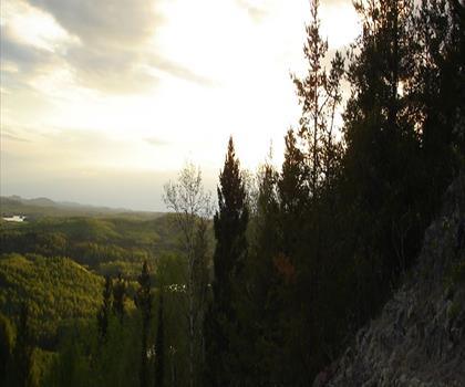
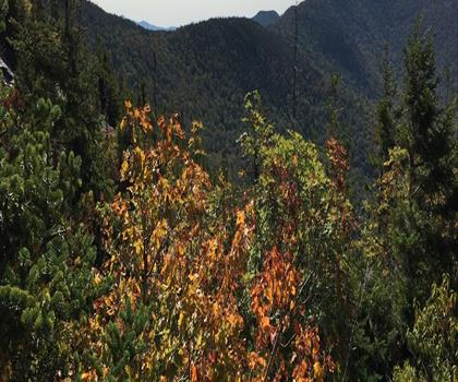
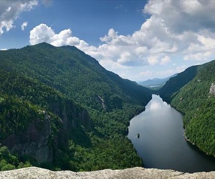
  • Sentier Mont Snow, New York - randonnée en Adirondacks  tree outdoor mountain sky lake landscape water cloud nature conifer hill overlooking hillside plant forest wooded lush highland colorado spruce tree araucaria tree

    Mont Snow, New York

    Adirondacks New York

    Trajet aller ≈ 1 h 10 Marche 5 h 30

    Chiens acceptés

  • Sentier Mont Porter, New York - randonnée en Adirondacks

    Mont Porter, New York

    Adirondacks New York

    Trajet aller ≈ 1 h 10 Marche 4 h 15

    Niveau : Intermédiaire Chiens acceptés

  • Sentier Mont Round, New York - randonnée en Adirondacks

    Mont Round, New York

    Adirondacks New York

    Trajet aller ≈ 1 h 10 Marche 3 h 10

    Niveau : Intermédiaire

  • Sentier Cascade Mountain, New York - randonnée en Adirondacks

    Cascade Mountain, New York

    Adirondacks New York

    Trajet aller ≈ 1 h 11 Marche 4 h 30

    Niveau : Intermédiaire Chiens acceptés

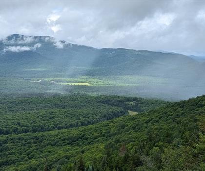
  • Sentier Rooster Comb, New York - randonnée en Adirondacks  mountain tree outdoor sky nature cloud green hill station hill hillside lush surrounded forest highland araucaria tree plant

    Rooster Comb, New York

    Adirondacks New York

    Trajet aller ≈ 1 h 11 Marche 4 h 15

    Niveau : Intermédiaire Chiens acceptés

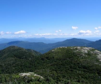
  • Sentier Mont Hedgehog, New York - randonnée en Adirondacks  mountain sky outdoor nature cloud hill hill station background tree hillside hiking fell grassy overlooking lush distance highland

    Mont Hedgehog, New York

    Adirondacks New York

    Trajet aller ≈ 1 h 12 Marche 3 h 45

    Niveau : Difficile Chiens acceptés

  • Sentier Mont Pitchoff, New York - randonnée en Adirondacks

    Mont Pitchoff, New York

    Adirondacks New York

    Trajet aller ≈ 1 h 12 Marche 5 h 45

    Niveau : Intermédiaire Chiens acceptés

  • Sentier Mont Green, New York - randonnée en Adirondacks

    Mont Green, New York

    Adirondacks New York

    Trajet aller ≈ 1 h 14 Marche 4 h 30

    Niveau : Difficile

  • Sentier Mont Spotted, New York - randonnée en Adirondacks

    Mont Spotted, New York

    Adirondacks New York

    Trajet aller ≈ 1 h 14 Marche 3 h 15

    Niveau : Difficile Chiens acceptés

  • Sentier Mont Buck, New York - randonnée en Adirondacks

    Mont Buck, New York

    Adirondacks New York

    Trajet aller ≈ 1 h 15 Marche 5 h 30

    Chiens acceptés

  • Sentier Mont Dial, New York - randonnée en Adirondacks

    Mont Dial, New York

    Adirondacks New York

    Trajet aller ≈ 1 h 15 Marche 8 h 30

    Niveau : Difficile

  • Sentier Mont Saunders, New York - randonnée en Adirondacks

    Mont Saunders, New York

    Adirondacks New York

    Trajet aller ≈ 1 h 15 Marche 3 h 30

    Niveau : Difficile Chiens acceptés

  • Sentier Johns Brook Lodge - randonnée en Adirondacks

    Johns Brook Lodge

    Adirondacks New York

    Trajet aller ≈ 1 h 16 Marche 4 h 15

    Niveau : Intermédiaire

  • Sentier Mont East Dix, New York - randonnée en Adirondacks

    Mont East Dix, New York

    Adirondacks New York

    Trajet aller ≈ 1 h 16 Marche 7 h 30

    Niveau : Difficile Chiens acceptés

  • Sentier Mont Wyman, New York - randonnée en Adirondacks

    Mont Wyman, New York

    Adirondacks New York

    Trajet aller ≈ 1 h 16 Marche 3 h 40

    Niveau : Difficile Chiens acceptés

  • Sentier Mont Yard, New York - randonnée en Adirondacks

    Mont Yard, New York

    Adirondacks New York

    Trajet aller ≈ 1 h 16 Marche 6 h

    Chiens acceptés

  • Sentier Hough Peak, New York - randonnée en Adirondacks

    Hough Peak, New York

    Adirondacks New York

    Trajet aller ≈ 1 h 17 Marche 8 h 30

    Niveau : Difficile Chiens acceptés

  • Sentier Mont Armstrong - randonnée en Adirondacks

    Mont Armstrong

    Adirondacks New York

    Trajet aller ≈ 1 h 17 Marche 4 h

    Niveau : Difficile Chiens acceptés

  • Sentier Mont Dix, New York - randonnée en Adirondacks

    Mont Dix, New York

    Adirondacks New York

    Trajet aller ≈ 1 h 17 Marche 10 h 30

    Chiens acceptés

  • Sentier Lac Lower Ausable - randonnée en Adirondacks

    Lac Lower Ausable

    Adirondacks New York

    Trajet aller ≈ 1 h 18 Marche 3 h 15

    Niveau : Intermédiaire

  • Sentier South Dix, New York - randonnée en Adirondacks

    South Dix, New York

    Adirondacks New York

    Trajet aller ≈ 1 h 18 Marche 8 h 30

    Chiens acceptés

  • Sentier Mont Howard, New York - randonnée en Adirondacks

    Mont Howard, New York

    Adirondacks New York

    Trajet aller ≈ 1 h 18 Marche 3 h 35

    Niveau : Facile Chiens acceptés

  • Sentier Gothics, New York - randonnée en Adirondacks

    Gothics, New York

    Adirondacks New York

    Trajet aller ≈ 1 h 18 Marche 9 h 30

    Niveau : Difficile Chiens acceptés

  • Sentier Dix Mountain Wilderness - randonnée en Adirondacks

    Dix Mountain Wilderness

    Adirondacks New York

    Trajet aller ≈ 1 h 18 Marche 10 h 30

    Niveau : Difficile Chiens acceptés

  • Sentier Mont Moose, New York - randonnée en Adirondacks

    Mont Moose, New York

    Adirondacks New York

    Trajet aller ≈ 1 h 18 Marche 3 h 35

    Niveau : Difficile Chiens acceptés

  • Sentier Mont Sawteeth, New York - randonnée en Adirondacks

    Mont Sawteeth, New York

    Adirondacks New York

    Trajet aller ≈ 1 h 18 Marche 5 h 15

    Niveau : Difficile Chiens acceptés

  • Sentier Nippletop - randonnée en Adirondacks

    Nippletop

    Adirondacks New York

    Trajet aller ≈ 1 h 18 Marche 7 h 30

    Niveau : Difficile Chiens acceptés

  • Sentier Mont Saddleback, New York - randonnée en Adirondacks

    Mont Saddleback, New York

    Adirondacks New York

    Trajet aller ≈ 1 h 19 Marche 3 h 45

    Niveau : Intermédiaire Chiens acceptés

  • Sentier Mont Colvin - randonnée en Adirondacks

    Mont Colvin

    Adirondacks New York

    Trajet aller ≈ 1 h 19 Marche 4 h 30

    Niveau : Difficile Chiens acceptés

  • Sentier Mont Colvin, New York - randonnée en Adirondacks

    Mont Colvin, New York

    Adirondacks New York

    Trajet aller ≈ 1 h 19 Marche 7 h 30

    Niveau : Difficile Chiens acceptés

  • Sentier Mont Basin, New York - randonnée en Adirondacks

    Mont Basin, New York

    Adirondacks New York

    Trajet aller ≈ 1 h 21 Marche 10 h 30

    Chiens acceptés

  • Sentier Mont Phelps, New York - randonnée en Adirondacks

    Mont Phelps, New York

    Adirondacks New York

    Trajet aller ≈ 1 h 21 Marche 6 h 30

    Niveau : Intermédiaire Chiens acceptés

  • Sentier Blake Peak, New York - randonnée en Adirondacks

    Blake Peak, New York

    Adirondacks New York

    Trajet aller ≈ 1 h 21 Marche 7 h 30

    Niveau : Intermédiaire Chiens acceptés

  • Sentier Mont McKenzie, New York - randonnée en Adirondacks

    Mont McKenzie, New York

    Adirondacks New York

    Trajet aller ≈ 1 h 21 Marche 4 h 30

    Niveau : Intermédiaire Chiens acceptés

  • Sentier Mont Jo, New York - randonnée en Adirondacks

    Mont Jo, New York

    Adirondacks New York

    Trajet aller ≈ 1 h 22 Marche 2 h 30

    Niveau : Intermédiaire Chiens acceptés

  • Sentier Sentier du mont Marcy - randonnée en Adirondacks

    Sentier du mont Marcy

    Adirondacks New York

    Trajet aller ≈ 1 h 22 Marche 8 h 15

    Niveau : Difficile Chiens acceptés

  • Sentier Mont Sunrise, New York - randonnée en Adirondacks

    Mont Sunrise, New York

    Adirondacks New York

    Trajet aller ≈ 1 h 22 Marche 4 h 30

    Niveau : Intermédiaire Chiens acceptés

  • Sentier Sentier du mont Jo - randonnée en Adirondacks

    Sentier du mont Jo

    Adirondacks New York

    Trajet aller ≈ 1 h 23 Marche 1 h 10

    Niveau : Facile Chiens acceptés

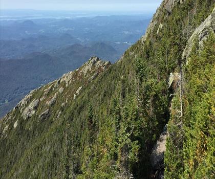
  • Sentier Mont Haystack, New York - randonnée en Adirondacks  outdoor mountain sky rock rocky hillside hill nature landscape hiking green summer massif overlooking lush

    Mont Haystack, New York

    Adirondacks New York

    Trajet aller ≈ 1 h 23 Marche 10 h 30

    Niveau : Difficile Chiens acceptés

  • Sentier Lac Heart - randonnée en Adirondacks

    Lac Heart

    Adirondacks New York

    Trajet aller ≈ 1 h 23 Marche 4 h 15

    Niveau : Facile

  • Sentier Mont Haystack - randonnée en Adirondacks

    Mont Haystack

    Adirondacks New York

    Trajet aller ≈ 1 h 24 Marche 8 h 30

    Niveau : Difficile Chiens acceptés

  • Sentier Avalanche Pass - randonnée en Adirondacks

    Avalanche Pass

    Adirondacks New York

    Trajet aller ≈ 1 h 25 Marche 5 h 30

    Niveau : Intermédiaire Chiens acceptés

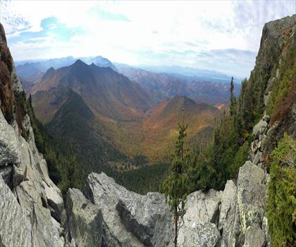
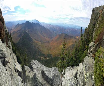
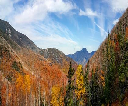
  • Sentier Gray Peak, New York - randonnée en Adirondacks  outdoor sky mountain autumn cloud landscape nature fall tree plant hill hillside day lush highland

    Gray Peak, New York

    Adirondacks New York

    Trajet aller ≈ 1 h 25 Marche 10 h 15

    Chiens acceptés

  • Sentier Mont Colden - randonnée en Adirondacks

    Mont Colden

    Adirondacks New York

    Trajet aller ≈ 1 h 26

    Chiens acceptés

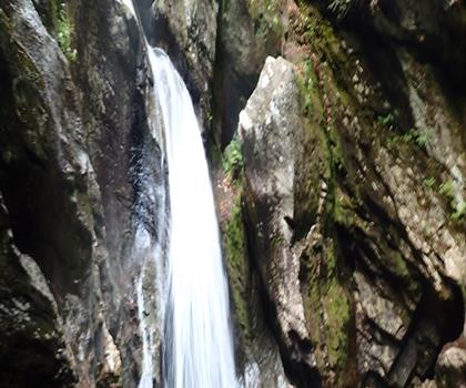
  • Sentier Mont McDonnel, New York - randonnée en Adirondacks  mountain valley nature canyon outdoor sky landscape escarpment hill background hillside ravine

    Mont McDonnel, New York

    Adirondacks New York

    Trajet aller ≈ 1 h 27 Marche 4 h

    Niveau : Difficile Chiens acceptés

  • Sentier Mont Nye, New York - randonnée en Adirondacks

    Mont Nye, New York

    Adirondacks New York

    Trajet aller ≈ 1 h 27 Marche 6 h 15

    Niveau : Intermédiaire Chiens acceptés

  • Sentier Boundary Peak, New York - randonnée en Adirondacks

    Boundary Peak, New York

    Adirondacks New York

    Trajet aller ≈ 1 h 28 Marche 4 h

    Niveau : Difficile Chiens acceptés

  • Sentier Mont Street, New York - randonnée en Adirondacks

    Mont Street, New York

    Adirondacks New York

    Trajet aller ≈ 1 h 28 Marche 6 h 30

    Niveau : Intermédiaire Chiens acceptés

  • Sentier Mont Allen - randonnée en Adirondacks  mountain outdoor nature sky valley snow canyon massif background mountain range glacier hill ridge rocky araate summit overlooking hillside distance island

    Mont Allen

    Adirondacks New York

    Trajet aller ≈ 1 h 29 Marche 9 h 30

    Niveau : Difficile Chiens acceptés

  • Sentier Mont Cliff - randonnée en Adirondacks

    Mont Cliff

    Adirondacks New York

    Trajet aller ≈ 1 h 29 Marche 5 h 30

    Niveau : Difficile Chiens acceptés

  • Sentier Mont Boreas, New York - randonnée en Adirondacks

    Mont Boreas, New York

    Adirondacks New York

    Trajet aller ≈ 1 h 30 Marche 4 h 10

    Niveau : Intermédiaire Chiens acceptés

  • Sentier Lac Saranac - randonnée en Adirondacks

    Lac Saranac

    Adirondacks New York

    Trajet aller ≈ 1 h 30 Marche 1 h 15

    Niveau : Facile

  • Sentier Lost Pond Peak, New York - randonnée en Adirondacks

    Lost Pond Peak, New York

    Adirondacks New York

    Trajet aller ≈ 1 h 30 Marche 3 h 30

    Niveau : Intermédiaire Chiens acceptés

  • Sentier Mont Marshall - randonnée en Adirondacks

    Mont Marshall

    Adirondacks New York

    Trajet aller ≈ 1 h 30 Marche 6 h

    Niveau : Difficile Chiens acceptés

  • Sentier Mont Wolf Pond, New York - randonnée en Adirondacks

    Mont Wolf Pond, New York

    Adirondacks New York

    Trajet aller ≈ 1 h 31 Marche 3 h 15

    Niveau : Intermédiaire Chiens acceptés

  • Sentier Cheney Cobble, New York - randonnée en Adirondacks  tree sky outdoor mountain landscape cloud nature spruce larch wilderness conifer shortleaf black spruce tropical and subtropical coniferous forests larix lyalliisubalpine larch plant forest hillside surrounded

    Cheney Cobble, New York

    Adirondacks New York

    Trajet aller ≈ 1 h 33 Marche 2 h 30

    Niveau : Facile Chiens acceptés

  • Sentier Mont MacNaughton, New York - randonnée en Adirondacks

    Mont MacNaughton, New York

    Adirondacks New York

    Trajet aller ≈ 1 h 34 Marche 8 h 30

    Niveau : Intermédiaire Chiens acceptés

  • Sentier Mt Adams - randonnée en Adirondacks

    Mt Adams

    Adirondacks New York

    Trajet aller ≈ 1 h 34

    Niveau : Facile

  • Sentier Sentier Treadway Mountain - randonnée en Adirondacks

    Sentier Treadway Mountain

    Adirondacks New York

    Trajet aller ≈ 1 h 34 Marche 2 h 30

    Niveau : Intermédiaire Chiens acceptés

  • Sentier Monts Sawtooth, New York - randonnée en Adirondacks

    Monts Sawtooth, New York

    Adirondacks New York

    Trajet aller ≈ 1 h 36 Marche 4 h 05

    Niveau : Difficile Chiens acceptés

  • Sentier Lac Lower Saranac - randonnée en Adirondacks

    Lac Lower Saranac

    Adirondacks New York

    Trajet aller ≈ 1 h 36 Marche 1 h 15

    Niveau : Intermédiaire

  • Sentier Mont Hoffman, New York - randonnée en Adirondacks

    Mont Hoffman, New York

    Adirondacks New York

    Trajet aller ≈ 1 h 36 Marche 4 h 15

    Niveau : Difficile Chiens acceptés

  • Sentier Mont Rist, New York - randonnée en Adirondacks  outdoor tree snow mountain nature slope hiking hill forest wood hillside wooded

    Mont Rist, New York

    Adirondacks New York

    Trajet aller ≈ 1 h 36 Marche 3 h 30

    Niveau : Facile Chiens acceptés

  • Sentier Au Diable Vert - randonnée en Cantons-de-l'Est

    Au Diable Vert

    Cantons-de-l'Est Québec

    Trajet aller ≈ 1 h 38 Marche 6 h 30

    Niveau : Facile Chiens acceptés

  • Sentier Mont Debar - randonnée en Adirondacks

    Mont Debar

    Adirondacks New York

    Trajet aller ≈ 1 h 38 Marche 4 h 15

    Niveau : Intermédiaire Chiens acceptés

  • Sentier Mont Thomas - randonnée en Adirondacks

    Mont Thomas

    Adirondacks New York

    Trajet aller ≈ 1 h 39 Marche 2 h 30

    Niveau : Intermédiaire Chiens acceptés

  • Sentier Plage Lake Clear - randonnée en Adirondacks

    Plage Lake Clear

    Adirondacks New York

    Trajet aller ≈ 1 h 39

    Niveau : Facile

  • Sentier Mont Ampersand, New York - randonnée en Adirondacks

    Mont Ampersand, New York

    Adirondacks New York

    Trajet aller ≈ 1 h 41 Marche 4 h 30

    Niveau : Difficile Chiens acceptés

  • Sentier Santanoni Peak, New York - randonnée en Adirondacks

    Santanoni Peak, New York

    Adirondacks New York

    Trajet aller ≈ 1 h 43 Marche 6 h 30

    Niveau : Difficile Chiens acceptés

  • Sentier Lac Spruce - randonnée en Cantons-de-l'Est

    Lac Spruce

    Cantons-de-l'Est Québec

    Trajet aller ≈ 1 h 44 Marche 1 h 15

    Niveau : Facile Chiens acceptés

  • Sentier High Peaks Wilderness - randonnée en Adirondacks

    High Peaks Wilderness

    Adirondacks New York

    Trajet aller ≈ 1 h 45

    Niveau : Difficile Chiens acceptés

  • Sentier Mont Echo - randonnée en Cantons-de-l'Est

    Mont Echo

    Cantons-de-l'Est Québec

    Trajet aller ≈ 1 h 49 Marche 5 h

    Niveau : Difficile

  • Sentier Mont Brown Pond, New York - randonnée en Adirondacks

    Mont Brown Pond, New York

    Adirondacks New York

    Trajet aller ≈ 1 h 55 Marche 4 h 30

    Niveau : Intermédiaire Chiens acceptés

  • Sentier Cold River - randonnée en Adirondacks

    Cold River

    Adirondacks New York

    Trajet aller ≈ 1 h 58 Marche 4 h 30

    Niveau : Intermédiaire Chiens acceptés

  • Sentier Mont Black, New York - randonnée en Adirondacks

    Mont Black, New York

    Adirondacks New York

    Trajet aller ≈ 2 h Marche 4 h 15

    Niveau : Intermédiaire Chiens acceptés

Sentier Camel Hump - randonnée en Vallée de Champlain

Une demi-journée, ça se prépare.

Pense au retour, aux pauses et au stationnement.

  • Vérifier l'accès

    Heures d'ouverture, stationnement et conditions d'accès peuvent varier selon la saison.

  • Consulter la météo de la destination

    Une météo changeante peut rendre certains sentiers plus difficiles.

  • Choisir son parcours

    Adapte la durée et le niveau selon ton groupe et le temps disponible.

Et sans voiture ?

Sans voiture, la sortie demande plus de préparation. Certaines destinations près de Burlington sont peut-être desservies par le transport en commun, mais aucune de nos fiches ne l'indique pour le moment.

Vérifie les horaires et le dernier retour auprès du réseau de transport avant de partir.

Voir les questions fréquentes

Au fil des saisons

Printemps

Le printemps à Burlington apporte la fonte des neiges et des sentiers boueux de mars à mai, nécessitant des chaussures imperméables et des guêtres.

Lire la suite

Les températures oscillent entre 5°C et 18°C, idéales pour explorer les sentiers du mont Mansfield et de Camel's Hump une fois qu'ils sont praticables. Vérifiez les conditions d'accès car certains sentiers peuvent rester fermés jusqu'en mai à cause de la boue printanière.

Été

L'été offre les meilleures conditions de randonnée près de Burlington avec des températures agréables de 15°C à 25°C et des sentiers entièrement accessibles.

Lire la suite

C'est la saison idéale pour gravir le mont Mansfield, le plus haut sommet du Vermont, ou explorer les nombreux sentiers des Green Mountains. Partez tôt le matin pour éviter les orages d'après-midi fréquents et apportez suffisamment d'eau et une protection solaire.

Automne

L'automne transforme les environs de Burlington en spectacle de couleurs flamboyantes de septembre à octobre, attirant de nombreux randonneurs pour admirer le feuillage.

Lire la suite

Les températures fraîches de 5°C à 15°C sont parfaites pour la randonnée, mais les journées raccourcissent rapidement. Habillez-vous en couches et planifiez des retours plus tôt, car les sentiers populaires comme ceux menant aux sommets des Green Mountains peuvent être très fréquentés durant cette période.

Hiver

L'hiver à Burlington apporte des conditions rigoureuses avec des températures souvent négatives et d'importantes chutes de neige, transformant la randonnée en activités hivernales spécialisées.

Lire la suite

Les raquettes et le ski de fond deviennent les moyens privilégiés d'explorer les sentiers enneigés des Green Mountains et du parc d'État de Mount Mansfield. Équipez-vous de vêtements chauds multicouches, de crampons ou raquettes, et informez-vous sur les conditions avalancheuses avant de partir.

Questions fréquentes

Où faire de la randonnée près de Burlington ?

La page répertorie 235 sentiers. Le plus proche est Parc Arthur (≈ 4 min de route depuis le centre-ville), le plus éloigné Rams Head, Vermont (≈ 2 h). Les trajets sont estimés à vol d'oiseau.

Combien de temps faut-il pour se rendre aux sentiers près de Burlington ?

7 sentiers sont à ≈ 30 min ou moins de route, 48 à ≈ 1 h ou moins, et tous sont à moins de ≈ 2 h. Ces trajets sont des estimations depuis le centre-ville.

Quels sont les sentiers les plus populaires près de Burlington ?

Parmi les sentiers de la page, les plus consultés sur Let's Go Play Outside sont Parc d'environnement naturel de Sutton, Station Touristique Mont Owl's Head et Mont Mansfield, Vermont.

Quelle est la longueur des parcours près de Burlington ?

222 fiches indiquent une longueur, de 0,3 km (Zen Gardens) à 200 km (High Peaks Wilderness). Les 13 autres ne la précisent pas.

Y a-t-il des randonnées faciles près de Burlington ?

Oui : parmi les sentiers de la page dont le niveau est indiqué, 54 faciles, 74 intermédiaires et 60 difficiles. Les plus proches des faciles : Parc Arthur, Parc Red Rocks et Zen Gardens.

Peut-on randonner avec son chien près de Burlington ?

136 fiches indiquent que les chiens sont acceptés et 1 qu'ils ne le sont pas. Pour les 98 autres, le règlement n'est pas confirmé : vérifie-le sur la fiche avant de partir.

Où randonner gratuitement près de Burlington ?

3 fiches indiquent un accès gratuit, dont Sugarbush Resort, Mont Giant, New York et Station Touristique Mont Owl's Head parmi les plus proches. Pour les autres, l'accès n'est pas confirmé gratuit : consulte la fiche.
Les bonnes idées, prêtes à partir.

Guide gratuit : 25 randonnées à moins de 2 h de Montréal

Temps de route, distance et niveau pour chacune. Celles qu'on refait nous-mêmes.

Recevoir le guide