Let's Go Play Outside
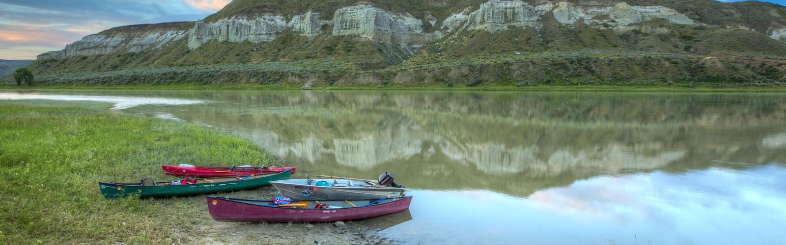
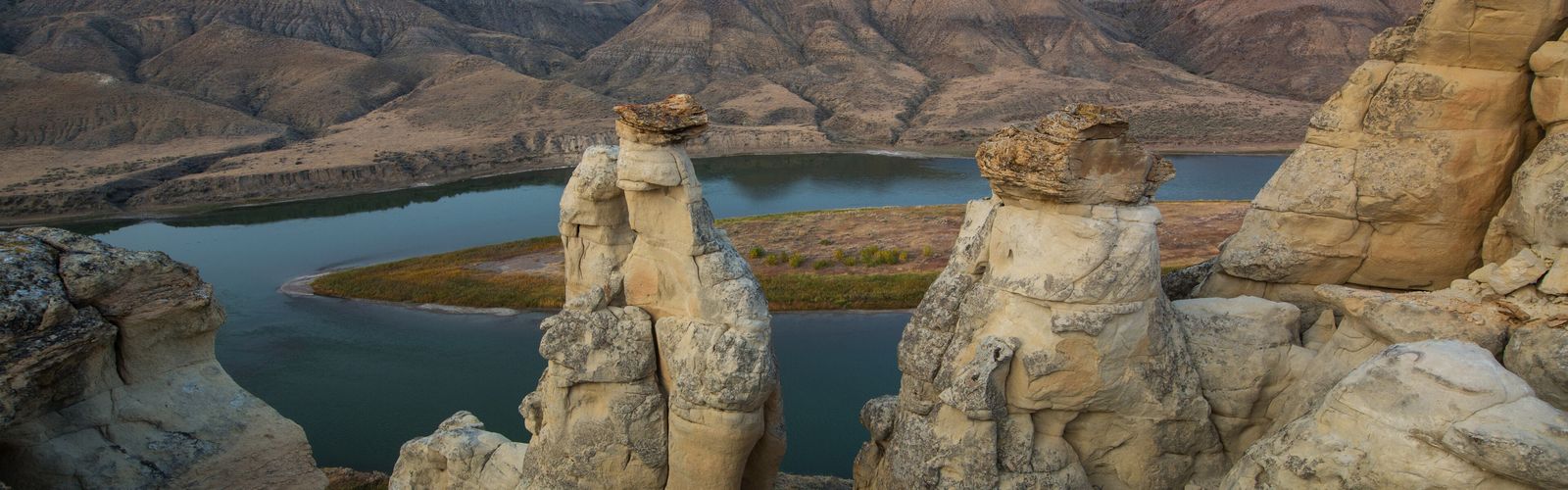
Missouri River Three Forks to the Montana-North Dakota border, Southwest Montana

Hiking in Montana: explore the regions and the trails

Every region has its own hike.

Pick a region in Montana, discover its landscapes and compare trails by duration, level and access: 17 trails in 5 regions.

By François Dumaine

Missouri River Three Forks to the Montana-North Dakota border, Southwest Montana · photo from the LGPO trail page

Free 1 pages

The Essential Hiking Checklist

Everything you need for your next hike. Bilingual, printable, 1 page.

Download the free checklist

Which hike should you pick in Montana?

The regions in Montana

Different landscapes. Real leads to help you choose.

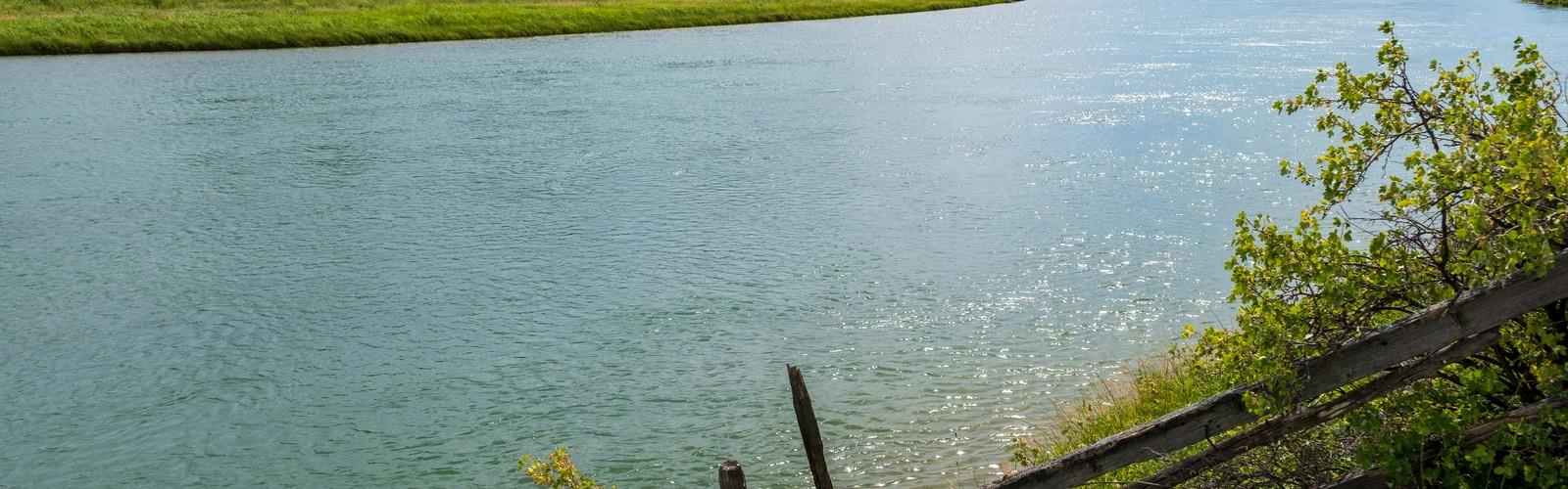
Smith River (Montana)

Frequently asked questions

Where can I do an easy hike in Montana?

4 of our 17 trails are rated easy; Glacier Country (2), Central Montana (1) and Southwest Montana (1) have the most. For a first trail: Goat Haunt (2.9 km, 45 min) and Mt. Gould (2.9 km, 45 min).

Where can I hike with my dog?

Our trail pages say dogs are allowed on 0 trails and not allowed on 3; for 14, the information is not confirmed. Always check the site manager's rules, especially about leashes.

How do I choose a hiking region?

For the widest choice: Glacier Country (8 trails) and Central Montana (3 trails).

Do I need to book access?

It depends on the place. parks and several reserves may charge an access fee, sometimes with a booking. The trail page says so when the information is known, and the site manager's own website remains the reference.