

Ready to explore Mont Des Morios? Here's everything you need to know before you go!
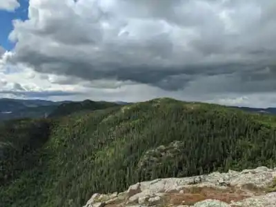
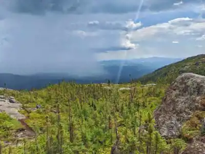
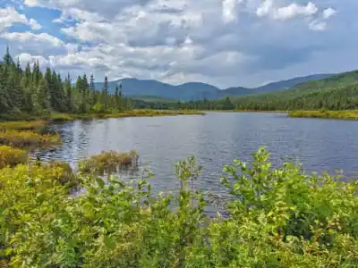
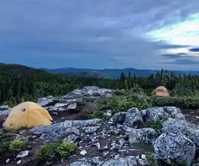
Discover the trail
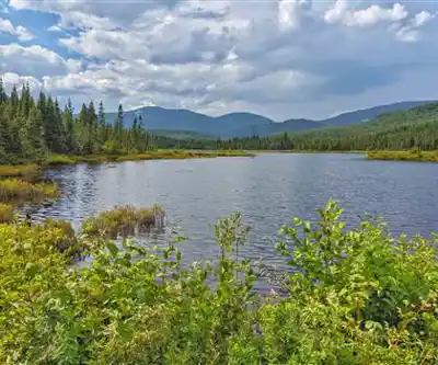
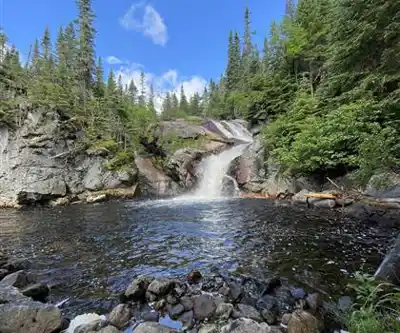
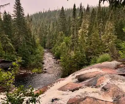
Available trails
| Trails | Distance | Elevation | Duration | Difficulty | GPX |
|---|---|---|---|---|---|
| 5 km | 500 m | 2h | Beginner | ||
| 9 km | 200 m | 2h30 | Intermediate | ||
| 25 km | 500 m | 6h30 | Intermediate | ||
| 15 km | 250 m | 4h | Advanced |
Trail description
Le contenu descriptif complet doit être révisé pour refléter: (1) La distance réelle de 10.6 km (boucle) et non 3.2 km, (2) La difficulté 'hard/challenging' et non 'easy', (3) Le temps estimé de 4h04 et non 2h30, (4) Supprimer toute mention de chiens autorisés, (5) Corriger la classification de difficulté dans le contexte du gain d'élévation soutenu de 637m sur une distance plus longue.
Services and amenities
This information may vary by season.
Recommended gear for this trail


Ready to go?
Everything you need to know before you goStarting Point
To access the hiking trails, head to the main trailhead located at the end of Route 381. There is a designated parking lot available for hikers. Additionally, there are several other possible trailheads:
- Trailhead at Chemin du Lac-à-l'Empêche, with parking available nearby.
- Access point via Chemin des Pointes, where limited roadside parking is an option.
Ensure to check local maps or guides for precise directions and any seasonal access information.
When?
How much?
- Hiking shoes Essential
- → Salomon Elixir Tour Mid WP · 203.38 $
- Layered clothing Essential
- Rain jacket Essential
- Trekking poles
- → Black Diamond Trail Ergo Cork · 69.99 $
- Headlamp
- → Petzl Actik Core 625 · 103.95 $
FAQ - Frequently asked questions
Everything you need to knowThe Essential Hiking Checklist
Everything you need for your next hike. Bilingual, printable, 1 page.
Download the free checklistSimilar hikes nearby
Discover other trails you might enjoy

Mont Du Lac Des Cygnes
Charlevoix

Parc National Des Hautes-gorges-de-la-rivière-malbaie
Charlevoix

Parc National Des Grands-jardins
Charlevoix

Sentiers Pédestres Les Éboulements
Charlevoix

Sentier Des Caps De Charlevoix
Charlevoix

Mont du Dôme
Charlevoix
Hiking near Quebec City
40 trails to explore ~114 km away
We work hard to provide the most up-to-date and error-free data possible. If something seems incorrect, let us know! Your contribution helps the whole community.
Hikers' opinions