

Ready to explore Sentiers Pédestres Les Éboulements? Here's everything you need to know before you go!
Discover the trail
Available trails
| Trails | Distance | Elevation | Duration | Difficulty | GPX |
|---|---|---|---|---|---|
| 5.47 km | 326 m | 2h | GPX |
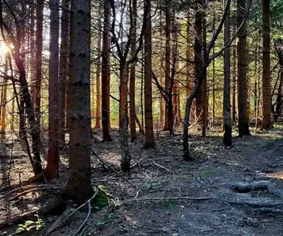
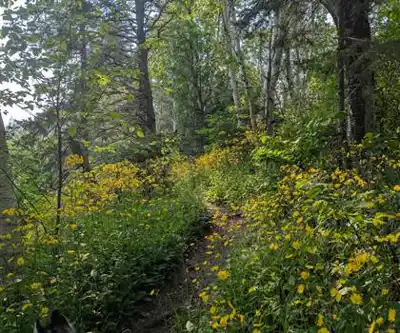
Trail description
In the section titled 'Geology: the meteorite-impact story', remove the entire subsection or replace it with:
Geology and landscape formation
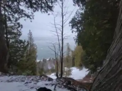
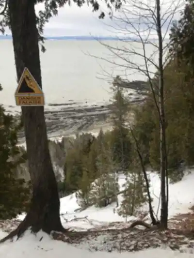
The distinctive rolling hills and terrain features of Les Éboulements have shaped a unique landscape in Charlevoix. The region's geological character is reflected in the varied elevations and scenic panoramas you encounter along the trails, particularly from the high plateaus where views extend across the highlands toward the St. Lawrence River.
Recommended gear for this trail


Ready to go?
Everything you need to know before you goStarting Point
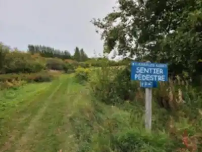
To access the hiking trails, head to the main trailhead located at 2 Rue de l'Église, Les Éboulements, QC G0A 2M0. There is a parking lot available at this address for visitors.
When?
How much?
- Hiking shoes Essential
- → Salomon Elixir Tour Mid WP · 203.38 $
- Layered clothing Essential
- Rain jacket Essential
- Trekking poles
- → Black Diamond Trail Ergo Cork · 69.99 $
- Headlamp
- → Petzl Actik Core 625 · 103.95 $
FAQ - Frequently asked questions
Everything you need to knowThe Essential Hiking Checklist
Everything you need for your next hike. Bilingual, printable, 1 page.
Download the free checklistSimilar hikes nearby
Discover other trails you might enjoy

Mont Du Lac Des Cygnes
Charlevoix

Parc National Des Hautes-gorges-de-la-rivière-malbaie
Charlevoix

Parc National Des Grands-jardins
Charlevoix

Mount Morrios
Charlevoix

Sentier Des Caps De Charlevoix
Charlevoix

Parc Municipal De La Baie-des-rochers
Charlevoix
Hiking near Quebec City
40 trails to explore ~101 km away
We work hard to provide the most up-to-date and error-free data possible. If something seems incorrect, let us know! Your contribution helps the whole community.
Hikers' opinions