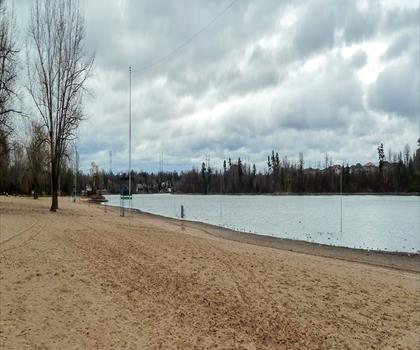
Drive ≈ 8 min Walk 2 hr
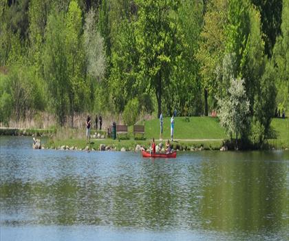
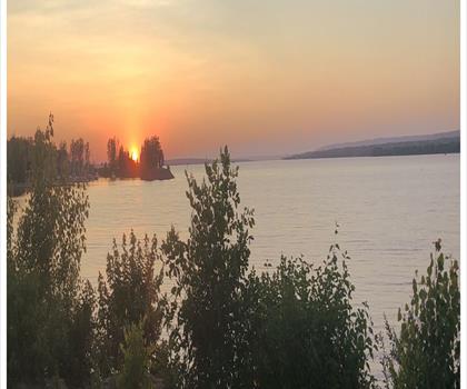
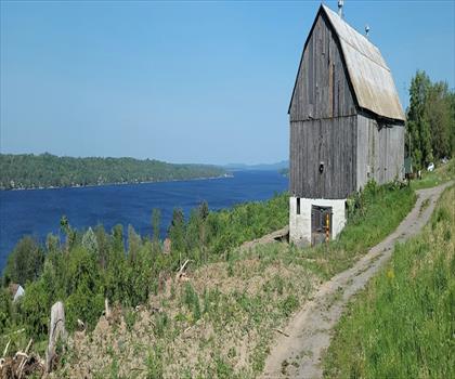
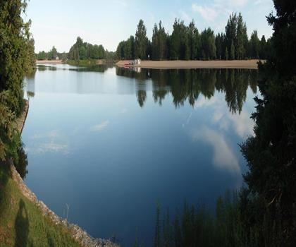
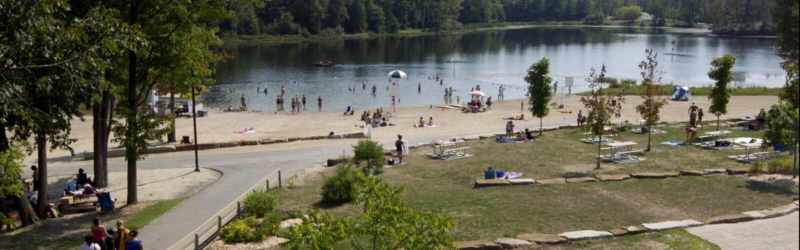
This easy 8 km trail with minimal elevation winds along the tranquil shores of Lac Beauchamp in the Outaouais region.
Dog rules: check the trail page
See the trailor pick your starting city — the number is how many trails we list.
Pick your drive. Save time for the trail.
74 trails within 2 hr of Gatineau by car. Compare the drive, the walking time and the level to choose your next outing.
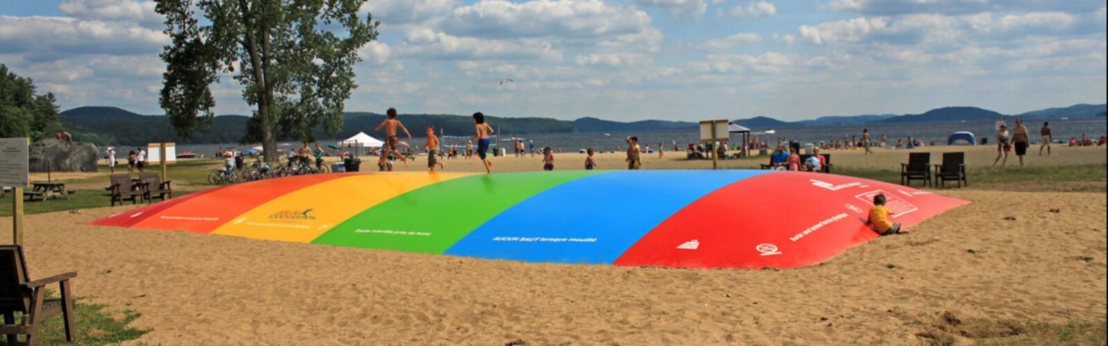
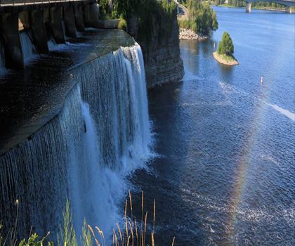
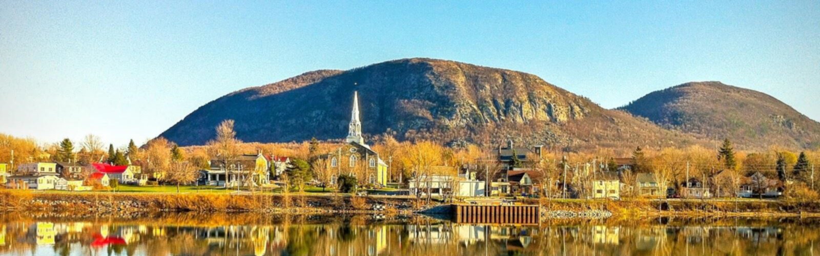
Photo : Parc Du Lac-beauchamp
Drive times are estimates (≈) from the city centre, as the crow flies. Walking time comes from the trail page when it has one; a walking filter hides trails without a duration.
Drive ≈ 8 min Walk 2 hr
This easy 8 km trail with minimal elevation winds along the tranquil shores of Lac Beauchamp in the Outaouais region.
Dog rules: check the trail page
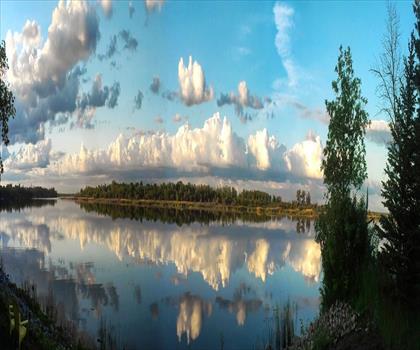
See the trailDrive ≈ 57 min Walk 3 hr 30 min
Réserve Faunique De Papineau-labelle
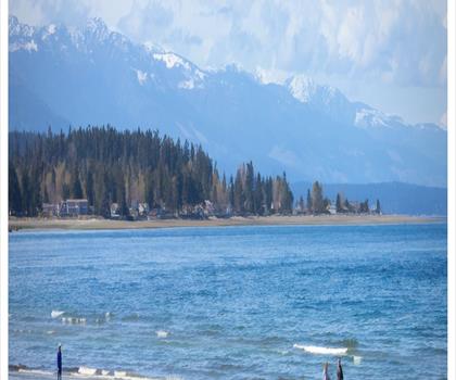
Spanning over 1,600 square kilometers in Quebec's Laurentides, this easy 11.8 km trail with 185 m elevation offers access to…
Dogs allowed
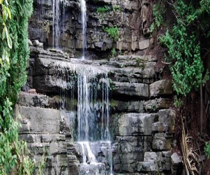
See the trailDrive ≈ 1 hr 31 min Walk 4 hr 30 min
Centre Touristique Du Lac-simon
easy 16.7 km trail in Quebec's Outaouais combines forest paths with peaceful lakeshore sections, offering 4h10 of hiking plus…
Dog rules: check the trail page
See the trailLaurentides
Drive ≈ 57 min Walk 3 hr 30 min
Level: Easy Dogs allowed
Outaouais
Drive ≈ 58 min Walk 2 hr 15 min
Level: Moderate Dogs allowed
Outaouais
Drive ≈ 1 hr 7 min Walk 10 hr 30 min
Level: Moderate Dogs allowed
Laurentides
Drive ≈ 1 hr 23 min Walk 3 hr 15 min
Level: Easy Dogs allowed
Outaouais
Drive ≈ 1 hr 51 min Walk 1 hr 30 min
Level: Moderate
Laurentides
Drive ≈ 1 hr 53 min Walk 1 hr 30 min
Level: Moderate Dogs allowed
Outaouais
Drive ≈ 1 hr 55 min Walk 4 hr 30 min
Level: Easy Dogs allowed
Ottawa and Countryside Ontario
Drive ≈ 56 min Walk 1 hr 45 min
Level: Easy Dogs allowed
Haliburton Highlands to the Ottawa Valley Ontario
Drive ≈ 1 hr Walk 30 min
Level: Easy
Haliburton Highlands to the Ottawa Valley Ontario
Drive ≈ 1 hr 41 min
Level: Easy
Haliburton Highlands to the Ottawa Valley Ontario
Drive ≈ 1 hr 45 min
Level: Easy
Haliburton Highlands to the Ottawa Valley Ontario
Drive ≈ 1 hr 46 min Walk 4 hr 15 min
Level: Easy Dogs allowed
Ottawa and Countryside Ontario
Drive ≈ 1 hr 58 min Walk 1 hr 45 min
Level: Easy Dogs allowed
Haliburton Highlands to the Ottawa Valley Ontario
Drive ≈ 2 hr Walk 2 hr 15 min
Level: Easy Dogs allowed
No trail matches these filters. Widen the drive or remove a filter.
Think about the way back, the breaks and the parking.
Opening hours, parking and access conditions can change with the season.
Changing weather can make some trails harder.
Match the length and the level to your group and the time you have.
Without a car, an outing takes more planning. Some destinations near Gatineau may be served by public transit, but none of our trail pages lists it yet.
Check schedules and the last return trip with the transit agency before you go.
See the frequently asked questionsSpring
Spring hiking in Gatineau offers mild temperatures and muddy trail conditions as snow melts from March to May.
The nearby Gatineau Park trails become accessible again, though waterproof boots are essential due to wet and muddy conditions. Start with lower elevation trails and check trail status before heading out, as some paths may still be closed due to spring thaw.
Summer
Summer is prime hiking season in Gatineau with warm temperatures perfect for exploring the extensive trail network in Gatineau Park.
Popular summer activities include hiking to scenic lookouts and enjoying the many lakes in the region. Bring plenty of water, sunscreen, and insect repellent, as blackflies and mosquitoes can be abundant in June and July.
Fall
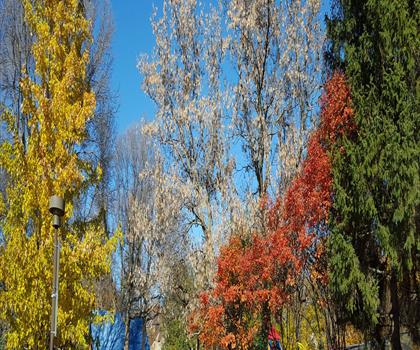
Fall transforms Gatineau into a spectacular hiking destination with vibrant autumn colors peaking in late September to early October.
The cooler temperatures and reduced insects make it ideal for longer hikes on Gatineau Park's ridge trails. Layer clothing as temperatures can vary significantly, and consider bringing a headlamp as daylight hours decrease rapidly.
Winter
Winter hiking in Gatineau requires snowshoes or microspikes as trails are snow-covered from December through March.
Many of Gatineau Park's summer hiking trails become cross-country skiing routes, but winter hiking is still possible on designated paths. Dress in layers, bring extra food and water, and inform someone of your plans as winter conditions can change quickly.
You can hike near Gatineau at numerous locations including Parc De La Gatineau (9.2km away), Lac Pink (8.3km), and Parc du Lac-Beauchamp (6.6km). The area offers 48 different hiking trails ranging from nearby parks to more distant natural areas.
The best hiking trails near Gatineau include Rockcliffe Park (3.3km away), Rideau Falls (3.9km), and Parc du Lac-Beauchamp (6.6km). Popular longer options include Lac Pink (8.3km) and the scenic Parc De La Gatineau (9.2km from the city).
There are 74 hiking trails available near Gatineau. These trails are spread across various parks and natural areas, with distances ranging from 3.3km to over 16km from the city center.
Yes, there are several accessible hiking options near Gatineau, including shorter trails at Rockcliffe Park (3.3km from city) and Rideau Falls (3.9km away). Many of the park trails offer easier terrain suitable for casual hikers.
Several parks near Gatineau offer hiking trails, including Parc De La Gatineau, Parc du Lac-Beauchamp, Hampton Park, and Brewer Park. You'll also find trails at Vincent Massey Park, Mooney's Bay Park and Beach, and Centrepointe Park.
Yes, many hiking areas near Gatineau offer free access, including various city parks and public trails. Popular free options include Rockcliffe Park, Rideau Falls, and several municipal parks within 10-15km of Gatineau.
Free guide: 25 hikes under 2 hours from Montreal
Distance, elevation, parking and season for each one. The ones we go back to ourselves.
Get the guide