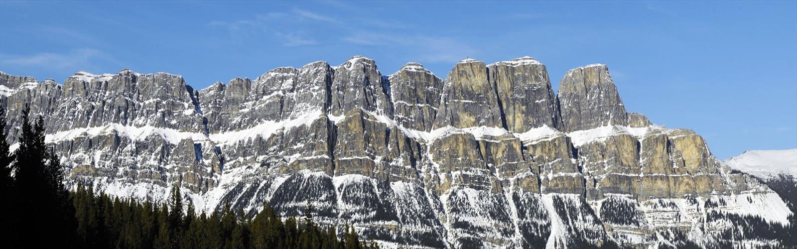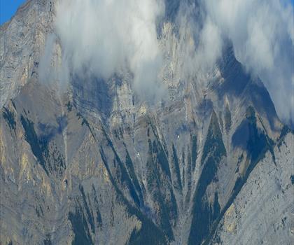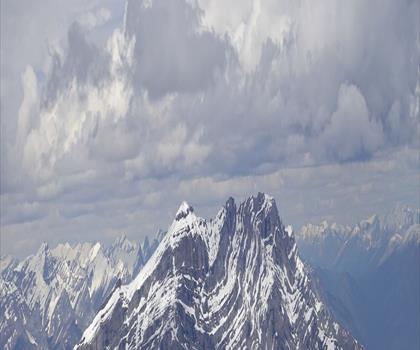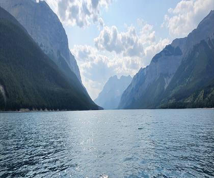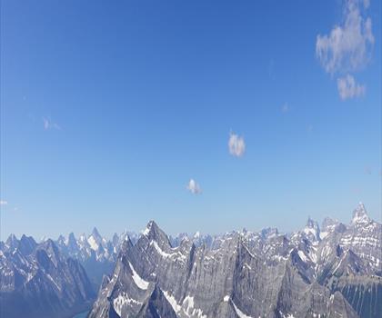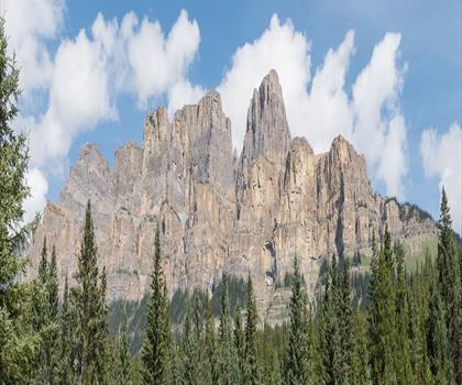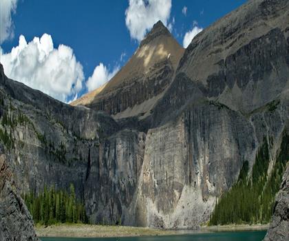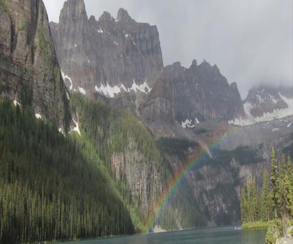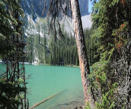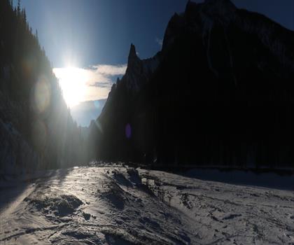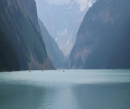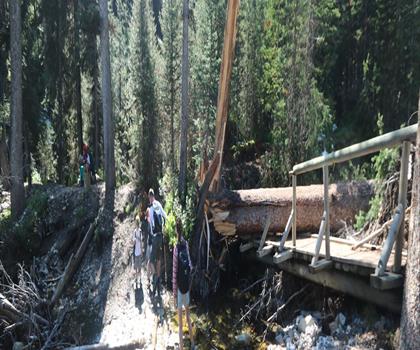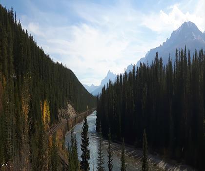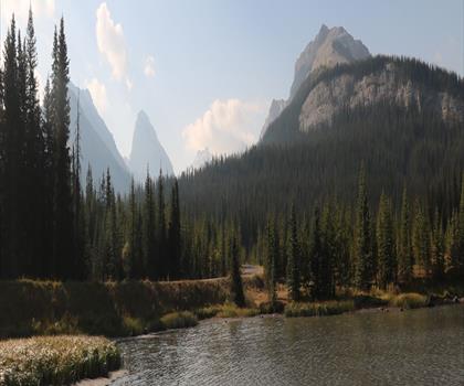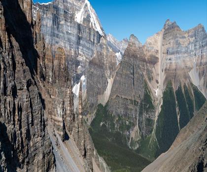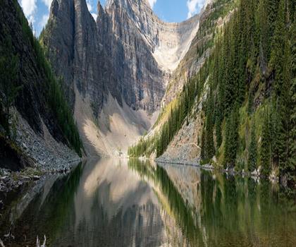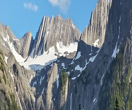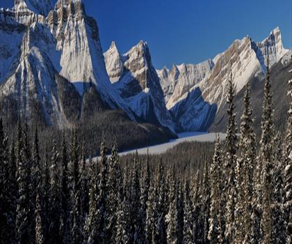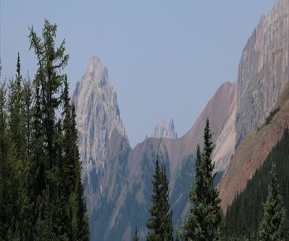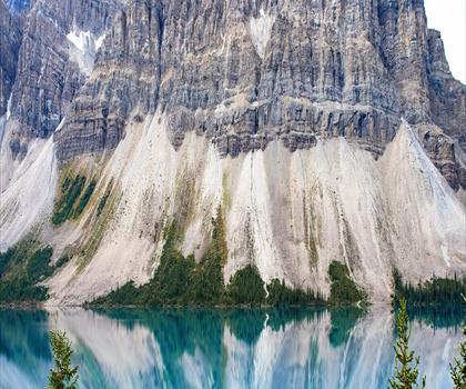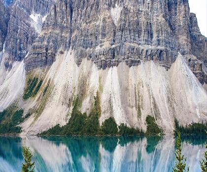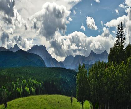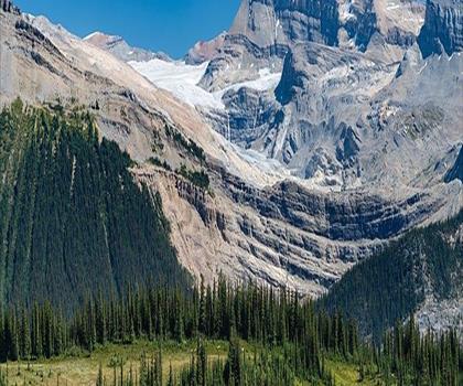
Drive ≈ 23 min Walk 4 hr 30 min
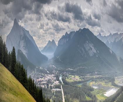
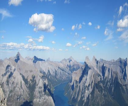
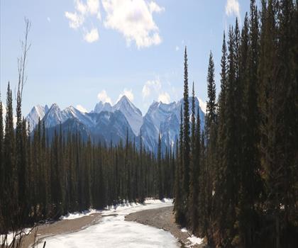
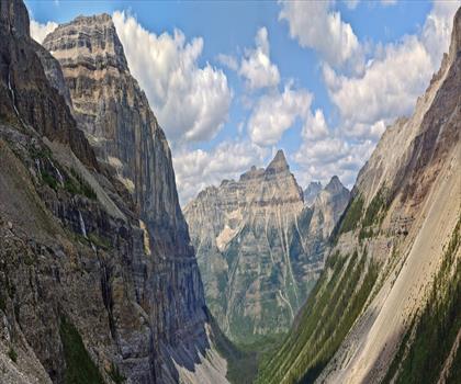
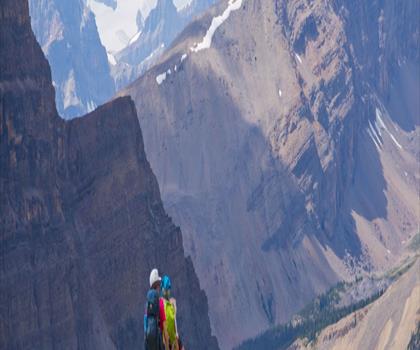
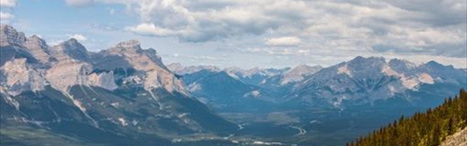
Rise above Canmore with this 7.4 km moderate hike featuring 850 m elevation gain through the Canadian Rockies. Moderate trail of 7.4 km, 850 m of climb.
Dog rules: check the trail page
See the trailor pick your starting city — the number is how many trails we list.

Pick your drive. Save time for the trail.
197 trails within 2 hr of Banff by car. Compare the drive, the walking time and the level to choose your next outing.
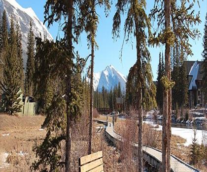
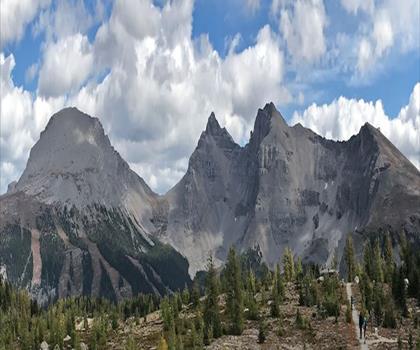
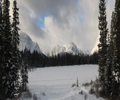
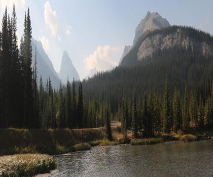
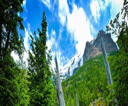
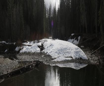
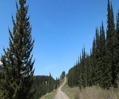
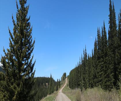
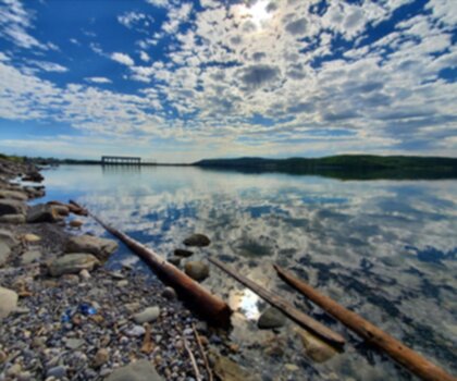
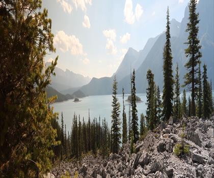
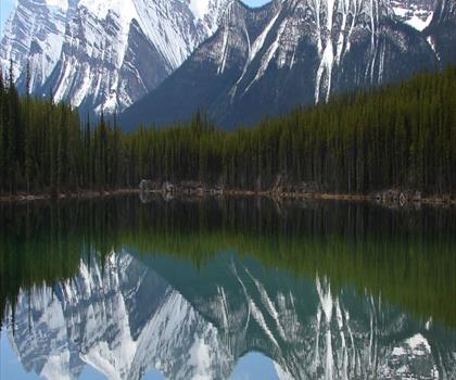
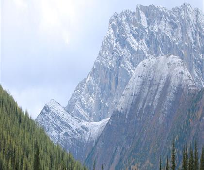
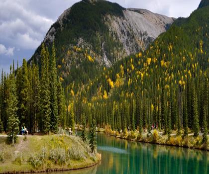
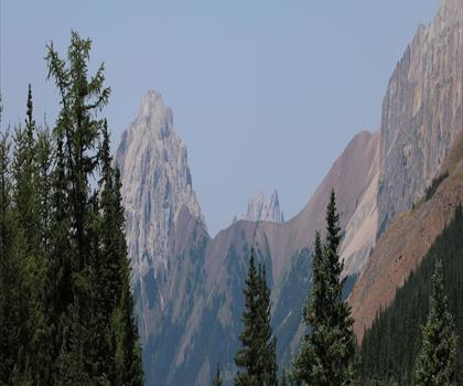
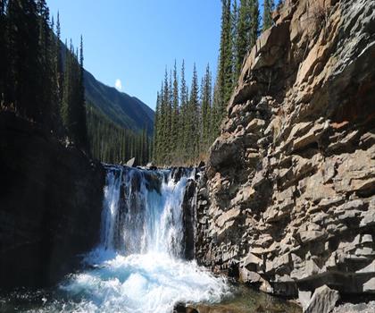
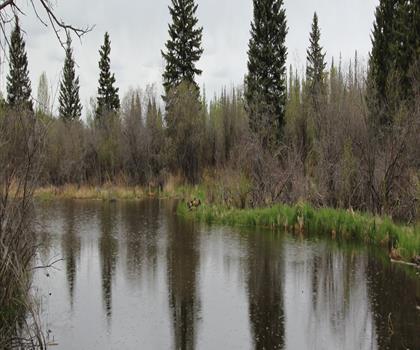
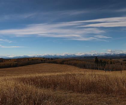
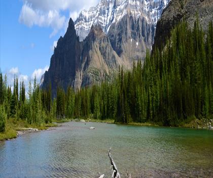
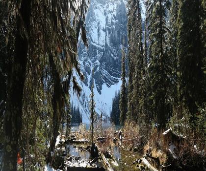
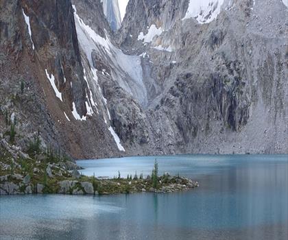
Photo : Forgetmenot Pond
Drive times are estimates (≈) from the city centre, as the crow flies. Walking time comes from the trail page when it has one; a walking filter hides trails without a duration.
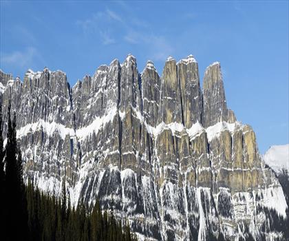
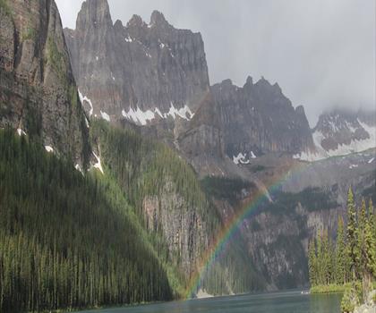
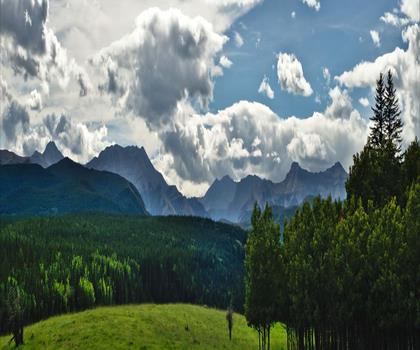
Drive ≈ 23 min Walk 4 hr 30 min
Rise above Canmore with this 7.4 km moderate hike featuring 850 m elevation gain through the Canadian Rockies. Moderate trail of 7.4 km, 850 m of climb.
Dog rules: check the trail page
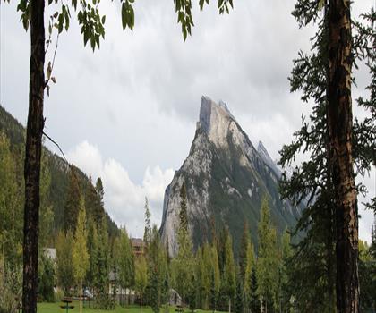
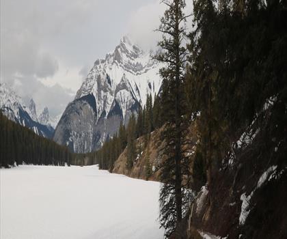
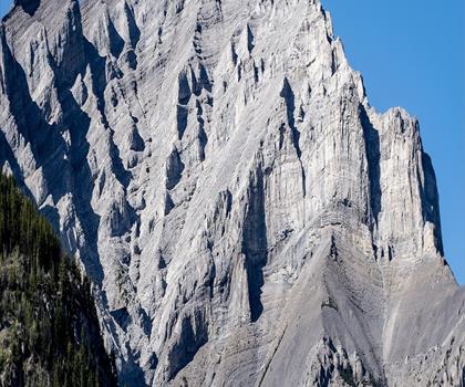
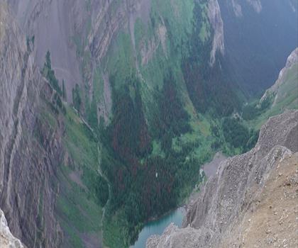
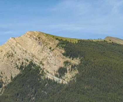
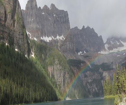
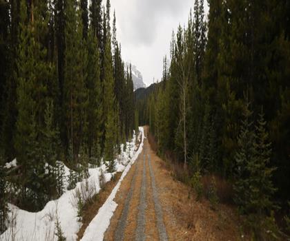
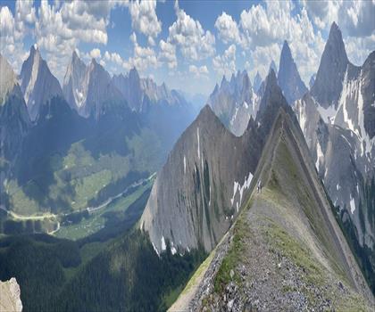
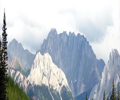
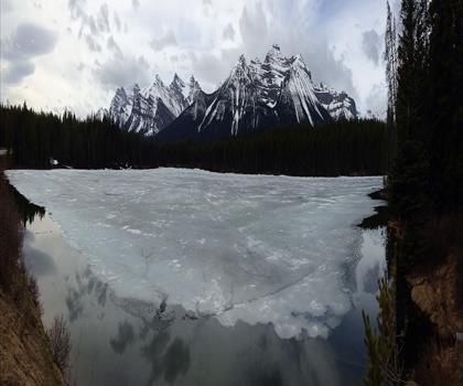
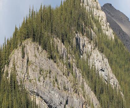
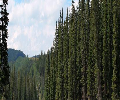
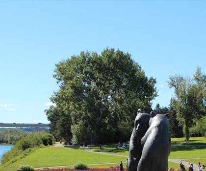
See the trailDrive ≈ 37 min Walk 2 hr 15 min
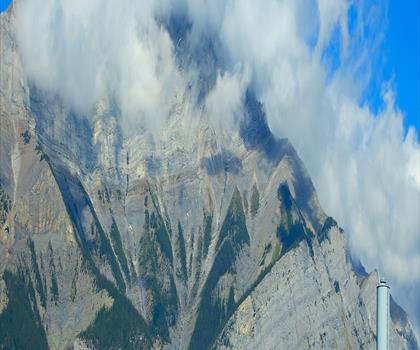
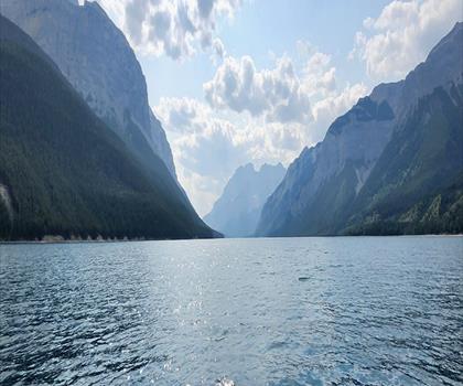
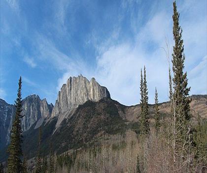
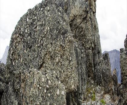
Nestled in Alberta North's Kananaskis Country, this 10 km round-trip hike climbs 500 m through diverse forest to a pristine… Trail of 10 km, 580 m of climb.
Dogs allowed
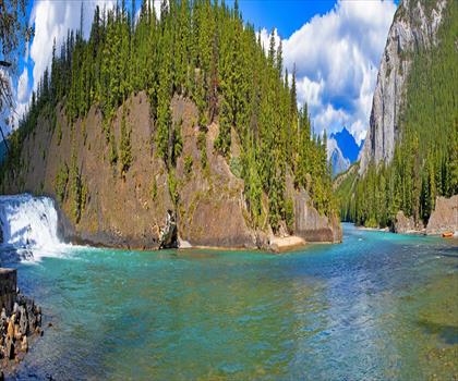
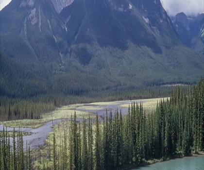
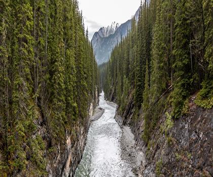
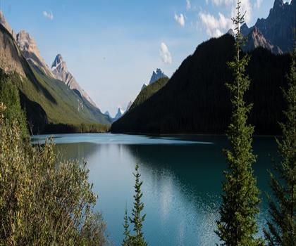
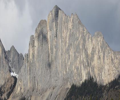
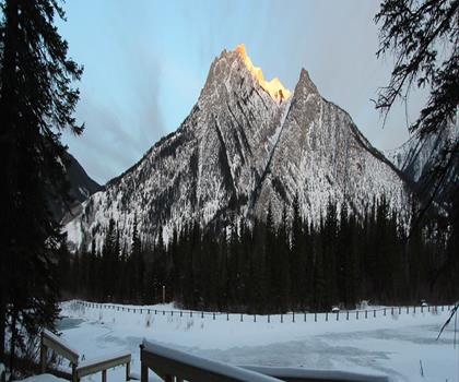
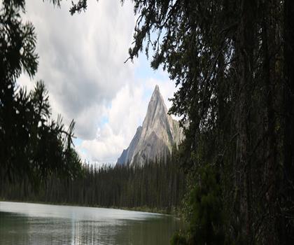
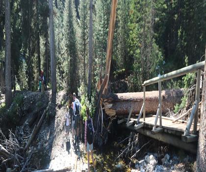
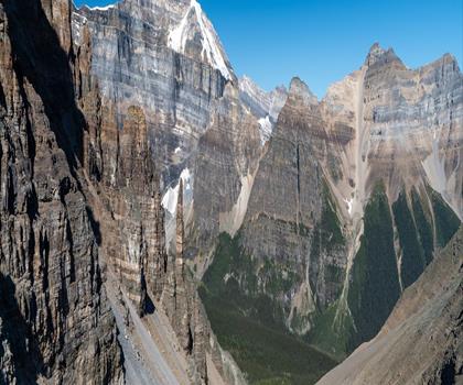
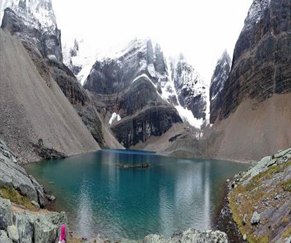
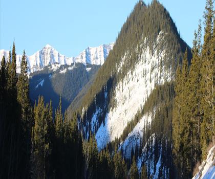
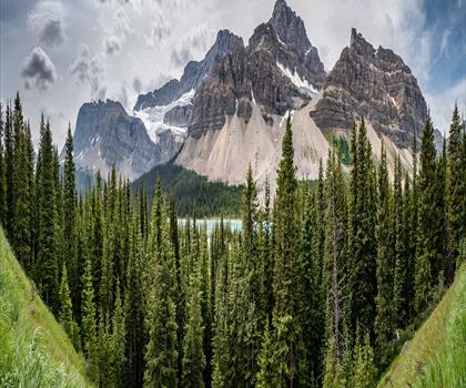
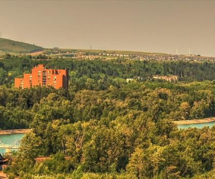
See the trailDrive ≈ 1 hr 20 min Walk 1 hr 30 min
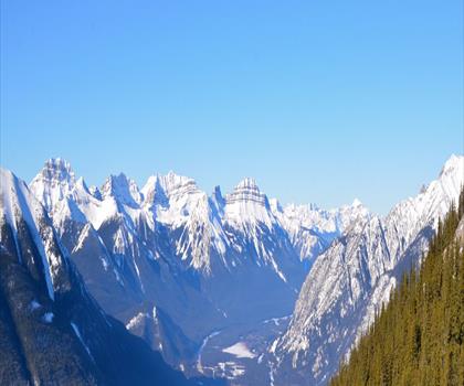
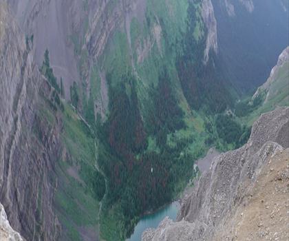
A short walk with 50m elevation gain to crystal-clear turquoise waters in Kananaskis Country. Easy trail of 3.2 km, 200 m of climb.
Dogs allowed
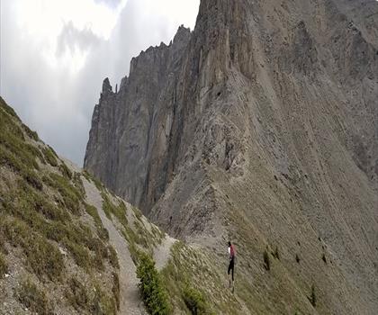
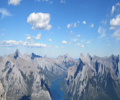
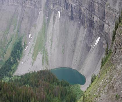
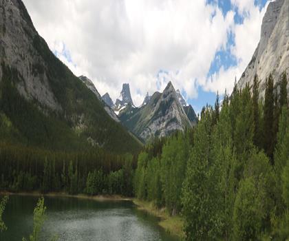
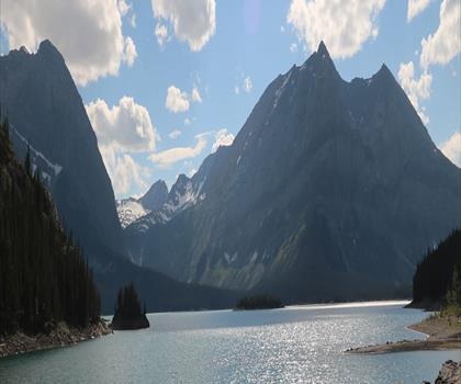
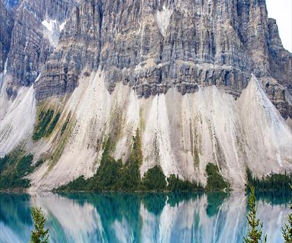
See the trailCanadian Rockies
Drive ≈ 34 min Walk 4 hr 15 min
Level: Easy Dogs allowed
Canadian Rockies
Drive ≈ 39 min Walk 1 hr 15 min
Level: Moderate Dogs allowed
Calgary & Area
Drive ≈ 42 min Walk 3 hr 30 min
Level: Hard Dogs allowed
Canadian Rockies
Drive ≈ 52 min Walk 2 hr 30 min
Level: Moderate Dogs allowed
Canadian Rockies
Drive ≈ 1 hr 1 min Walk 3 hr 30 min
Level: Hard Dogs allowed
Canadian Rockies
Drive ≈ 1 hr 14 min Walk 4 hr 15 min
Level: Hard Dogs allowed
Canadian Rockies
Drive ≈ 1 hr 19 min Walk 4 hr 15 min
Level: Easy Dogs allowed
Canadian Rockies
Drive ≈ 1 hr 19 min Walk 3 hr 45 min
Level: Easy Dogs allowed
Canadian Rockies
Drive ≈ 1 hr 21 min Walk 2 hr 30 min
Level: Easy Dogs allowed
Canadian Rockies
Drive ≈ 1 hr 23 min Walk 6 hr 45 min
Level: Hard Dogs allowed
Canadian Rockies
Drive ≈ 1 hr 23 min Walk 1 hr 15 min
Level: Easy Dogs allowed
Canadian Rockies
Drive ≈ 1 hr 32 min Walk 4 hr 30 min
Level: Hard Dogs allowed
Calgary & Area
Drive ≈ 1 hr 39 min Walk 6 hr 30 min
Level: Easy Dogs allowed
Calgary & Area
Drive ≈ 1 hr 40 min Walk 2 hr 15 min
Level: Moderate Dogs allowed
Canadian Rockies
Drive ≈ 1 hr 45 min Walk 2 hr
Level: Moderate Dogs allowed
Foothills
Drive ≈ 1 hr 48 min Walk 1 hr 30 min
Level: Easy Dogs allowed
Foothills
Drive ≈ 1 hr 50 min Walk 3 hr 15 min
Level: Moderate Dogs allowed
Kootenay Rockies British Columbia
Drive ≈ 36 min
Level: Hard Dogs allowed
Kootenay Rockies British Columbia
Drive ≈ 1 hr 9 min Walk 8 hr 30 min
Level: Hard
Kootenay Rockies British Columbia
Drive ≈ 1 hr 19 min Walk 5 hr 30 min
Level: Hard Dogs allowed
Kootenay Rockies British Columbia
Drive ≈ 1 hr 25 min Walk 2 hr 15 min
Level: Easy Dogs allowed
Kootenay Rockies British Columbia
Drive ≈ 1 hr 26 min Walk 30 min
Level: Easy Dogs allowed
Kootenay Rockies British Columbia
Drive ≈ 1 hr 26 min Walk 1 hr 15 min
Level: Easy
Kootenay Rockies British Columbia
Drive ≈ 1 hr 27 min Walk 30 min
Level: Easy Dogs allowed
Kootenay Rockies British Columbia
Drive ≈ 1 hr 29 min Walk 1 hr 20 min
Level: Easy Dogs allowed
Kootenay Rockies British Columbia
Drive ≈ 1 hr 32 min
Level: Hard Dogs allowed
Kootenay Rockies British Columbia
Drive ≈ 1 hr 32 min Walk 4 hr 30 min
Level: Hard Dogs allowed
Kootenay Rockies British Columbia
Drive ≈ 1 hr 33 min Walk 8 hr 30 min
Level: Hard Dogs allowed
Kootenay Rockies British Columbia
Drive ≈ 1 hr 36 min Walk 45 min
Level: Easy Dogs allowed
Kootenay Rockies British Columbia
Drive ≈ 1 hr 59 min Walk 4 hr 30 min
Level: Moderate
No trail matches these filters. Widen the drive or remove a filter.
Think about the way back, the breaks and the parking.
Opening hours, parking and access conditions can change with the season.
Changing weather can make some trails harder.
Match the length and the level to your group and the time you have.
Without a car, an outing takes more planning. Some destinations near Banff may be served by public transit, but none of our trail pages lists it yet.
Check schedules and the last return trip with the transit agency before you go.
See the frequently asked questionsSpring
Spring in Banff (April-May) brings variable conditions with snow lingering at higher elevations while valley trails begin to clear.
Popular accessible trails include the Bow River Loop and Tunnel Mountain, though microspikes may still be needed for icy sections. Pack layers as temperatures can swing dramatically, and check trail conditions before heading out as many alpine routes remain snow-covered until June.
Summer
Summer offers the best hiking conditions in Banff with most of the 187+ trails accessible, including iconic routes like Lake Louise, Moraine Lake, and the Plain of Six Glaciers.
July and August provide the warmest weather and longest daylight hours, perfect for tackling challenging alpine hikes. Start early to avoid crowds at popular destinations and always carry bear spray, as wildlife activity peaks during this season.
Fall
Fall hiking in Banff (September-October) rewards visitors with stunning larch displays and fewer crowds, particularly on trails like Larch Valley and Sentinel Pass.
Temperatures drop significantly, especially at elevation, so pack warm layers and waterproof gear for sudden weather changes. Many high-alpine trails may become inaccessible by late October due to snow, making this the last chance for serious mountain adventures.
Winter
Winter transforms Banff into a snow-covered wonderland ideal for snowshoeing and cross-country skiing rather than traditional hiking.
Lower elevation trails like Bow River and parts of Tunnel Mountain remain accessible with proper winter gear including microspikes or snowshoes. Daylight hours are limited and avalanche risk is high in the backcountry, so stick to designated winter routes and check weather conditions carefully.
The page lists 197 trails. The closest is Bow River Trail (≈ 1 min drive from downtown), the farthest Edworthy Park (≈ 2 hr). Drive times are estimated as the crow flies.
39 trails are within ≈ 30 min of driving, 100 within ≈ 1 hr, and all of them within ≈ 2 hr. These are estimates from downtown.
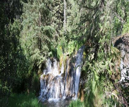
Among the trails on this page, the most viewed on Let's Go Play Outside are Forgetmenot Pond, Elbow Falls and Dyson Falls.
168 listings give a length, from 0.5 km (Sheep River Falls) to 200 km (Kootenay National Park). The other 29 do not say.
Yes: among the trails on this page that give a level, 53 easy, 44 moderate and 78 hard. The closest easy ones: Bow Falls, Vermilion Lakes and Mount Norquay Lookout.
154 listings say dogs are allowed and 2 say they are not. For the other 41, the rule is not confirmed: check the trail page before you go.
Free guide: 25 hikes under 2 hours from Montreal
Drive time, distance and level for each one. The ones we go back to ourselves.
Get the guide