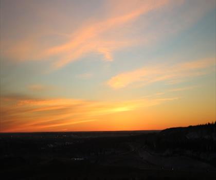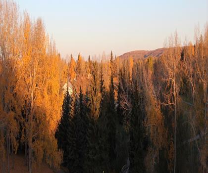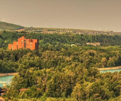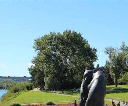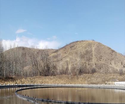
Drive ≈ 19 min Walk 7 hr 30 min
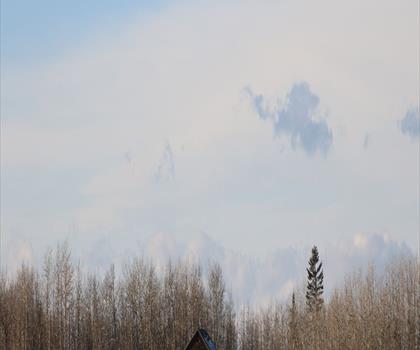
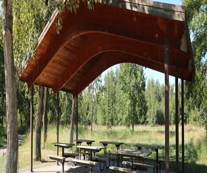
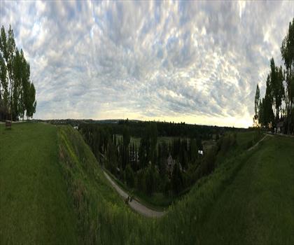
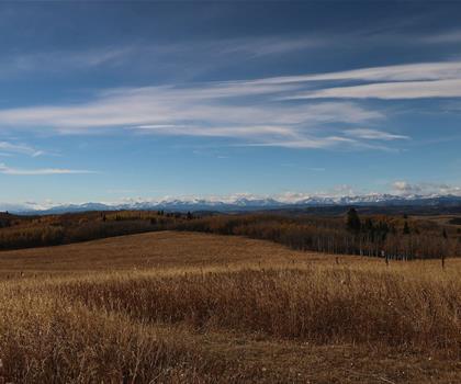
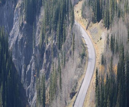
Explore 3.2 km of grassland trail in the Sage Hill neighbourhood of northwest Calgary with 753 m elevation gain. Hard trail of 3.2 km, 753 m of climb.
Dogs allowed
See the trailor pick your starting city — the number is how many trails we list.

Pick your drive. Save time for the trail.
95 trails within 2 hr of Airdrie by car. Compare the drive, the walking time and the level to choose your next outing.
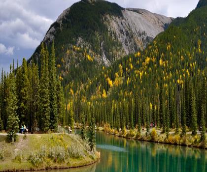
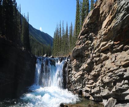
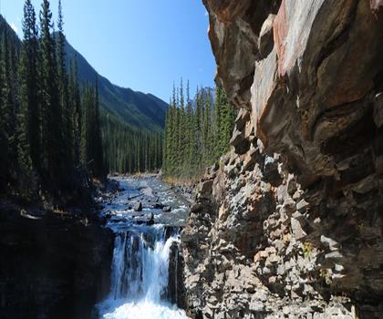
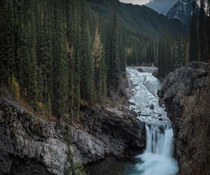
Photo : Elbow Falls
Drive times are estimates (≈) from the city centre, as the crow flies. Walking time comes from the trail page when it has one; a walking filter hides trails without a duration.
Drive ≈ 19 min Walk 7 hr 30 min
Explore 3.2 km of grassland trail in the Sage Hill neighbourhood of northwest Calgary with 753 m elevation gain. Hard trail of 3.2 km, 753 m of climb.
Dogs allowed
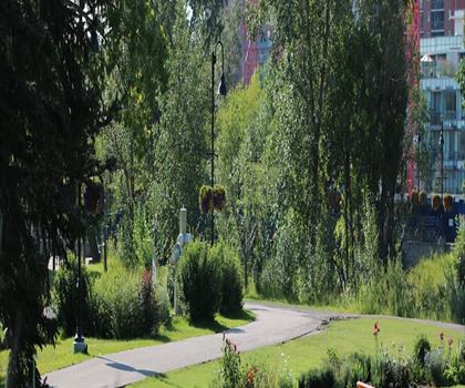
See the trailDrive ≈ 32 min Walk 45 min
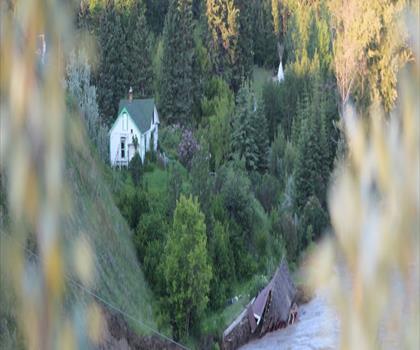
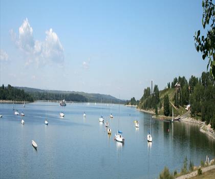
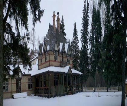
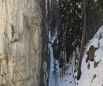
Explore 2.5 km of easy riverside trails through this historic 30-hectare urban park in northwest Calgary. Easy trail of 2.5 km, 29 m of climb.
Dogs allowed
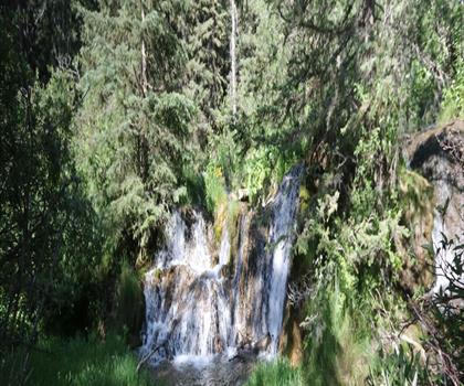
See the trailDrive ≈ 1 hr 26 min Walk 30 min
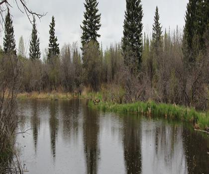
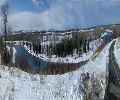
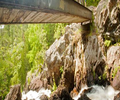
Experience a scenic waterfall on this easy 0.8 to 1.6 km loop trail near Bragg Creek in Kananaskis Country. Easy trail of 1.6 km, 24 m of climb.
Dogs allowed
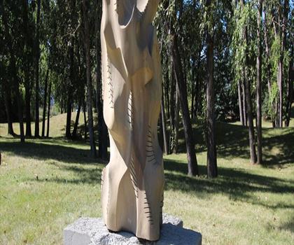
See the trailCalgary & Area
Drive ≈ 32 min Walk 2 hr 15 min
Level: Moderate Dogs allowed
Calgary & Area
Drive ≈ 36 min Walk 6 hr 30 min
Level: Easy Dogs allowed
Calgary & Area
Drive ≈ 39 min Walk 3 hr 30 min
Level: Easy Dogs allowed
Calgary & Area
Drive ≈ 48 min Walk 1 hr 30 min
Level: Easy
Foothills
Drive ≈ 1 hr 14 min Walk 1 hr 30 min
Level: Easy Dogs allowed
Canadian Rockies
Drive ≈ 1 hr 17 min Walk 1 hr 15 min
Level: Easy Dogs allowed
Canadian Rockies
Drive ≈ 1 hr 19 min Walk 6 hr 30 min
Level: Hard
Canadian Rockies
Drive ≈ 1 hr 22 min Walk 4 hr 15 min
Level: Easy Dogs allowed
Canadian Rockies
Drive ≈ 1 hr 29 min Walk 2 hr 45 min
Level: Moderate Dogs allowed
Calgary & Area
Drive ≈ 1 hr 33 min Walk 3 hr 30 min
Level: Hard Dogs allowed
Foothills
Drive ≈ 1 hr 37 min Walk 3 hr 15 min
Level: Moderate Dogs allowed
Canadian Rockies
Drive ≈ 1 hr 38 min Walk 2 hr 15 min
Level: Moderate Dogs allowed
Canadian Rockies
Drive ≈ 1 hr 42 min Walk 1 hr 15 min
Level: Moderate Dogs allowed
Canadian Rockies
Drive ≈ 1 hr 42 min Walk 1 hr 30 min
Level: Moderate Dogs allowed
Canadian Rockies
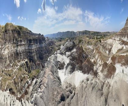
Drive ≈ 1 hr 45 min Walk 2 hr
Level: Moderate Dogs allowed
Canadian Badlands
Drive ≈ 1 hr 48 min Walk 1 hr 30 min
Level: Easy Dogs allowed
Canadian Rockies
Drive ≈ 1 hr 54 min Walk 4 hr 15 min
Level: Easy Dogs allowed
No trail matches these filters. Widen the drive or remove a filter.
Think about the way back, the breaks and the parking.
Opening hours, parking and access conditions can change with the season.
Changing weather can make some trails harder.
Match the length and the level to your group and the time you have.
Without a car, an outing takes more planning. Some destinations near Airdrie may be served by public transit, but none of our trail pages lists it yet.
Check schedules and the last return trip with the transit agency before you go.
See the frequently asked questionsSpring
Spring hiking near Airdrie typically begins in late April to May as snow melts and temperatures rise to 10-15°C.
The prairie trails and foothills paths offer excellent opportunities to see wildflowers blooming and migrating birds returning. Pack layers and waterproof boots as trails can be muddy from snowmelt and spring rains are common.
Summer
Summer is peak hiking season around Airdrie with long daylight hours and temperatures reaching 20-25°C.
The extensive network of prairie trails and nearby foothills provide excellent conditions for all skill levels, with dry paths and clear weather. Start early morning hikes to avoid afternoon thunderstorms and always carry plenty of water as the prairie sun can be intense.
Fall
Fall hiking near Airdrie offers crisp temperatures of 5-15°C and stunning autumn colors in the aspen groves of nearby foothills trails.
September through October provides ideal conditions with stable weather and fewer crowds on popular routes. Layer clothing as temperatures can vary significantly between morning and afternoon, and be prepared for early frost after mid-October.
Winter
Winter hiking around Airdrie requires proper preparation for temperatures often dropping below -20°C and snowy conditions from November through March.
Many trails become excellent for snowshoeing or cross-country skiing, particularly the flatter prairie routes that remain accessible. Dress in layers, wear microspikes or snowshoes, and stick to well-marked trails as daylight hours are limited and weather can change rapidly.
The page lists 95 trails. The closest is Nose Creek Regional Park (≈ 2 min drive from downtown), the farthest Fortress Lake (≈ 2 hr). Drive times are estimated as the crow flies.
4 trails are within ≈ 30 min of driving, 28 within ≈ 1 hr, and all of them within ≈ 2 hr. These are estimates from downtown.
Among the trails on this page, the most viewed on Let's Go Play Outside are Elbow Falls, Forgetmenot Pond and Mount Lady MacDonald.
83 listings give a length, from 0.5 km (Sheep River Falls) to 36 km (White Buddha trailhead Kananaskis). The other 12 do not say.
Yes: among the trails on this page that give a level, 33 easy, 26 moderate and 27 hard. The closest easy ones: Nose Creek Regional Park, Confederation Park and Bowness Park.
67 listings say dogs are allowed and 1 say they are not. For the other 27, the rule is not confirmed: check the trail page before you go.
Free guide: 25 hikes under 2 hours from Montreal
Drive time, distance and level for each one. The ones we go back to ourselves.
Get the guide