

Ready to explore Mount Lady MacDonald? Here's everything you need to know before you go!
Discover the trail
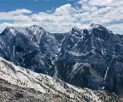
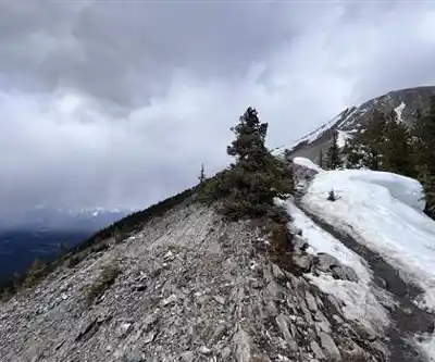
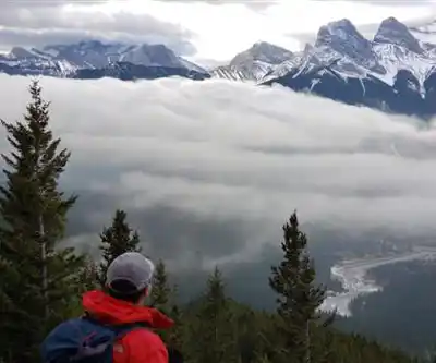
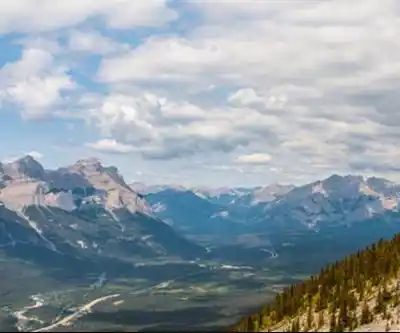
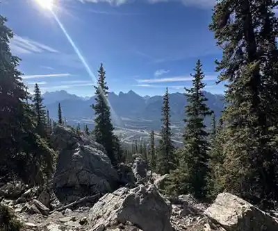
Trail description
{
"action": "remove_paragraph",
"section": "The Teahouse",
"problematic_content": "Near the helipad, a metal paragliding ramp sits on the west side of the trail. It serves the local paragliding community, though aerial sports in this terrain carry serious risks — something underscored by a 2011 incident in which an experienced paraglider lost control of his speedglider near the mountain.",
"reason": "Unverified details - CAPTCHA prevented confirmation of paragliding ramp existence and 2011 incident specifics. Recommend removing or marking as unconfirmed."
}
Recommended gear for this trail


Ready to go?
Everything you need to know before you goStarting Point
The mount lady macdonald is located in Alberta. To get to the start of the trails, take the Trans-Canada Highway (Highway 1) to the exit for Highway 40. Follow Highway 40 until it ends, and then take the mount lady macdonald Trail.
When?
How much?
- Hiking shoes Essential
- → Salomon Elixir Tour Mid WP · 203.38 $
- Layered clothing Essential
- Rain jacket Essential
- Trekking poles
- → Black Diamond Trail Ergo Cork · 69.99 $
- Headlamp
- → Petzl Actik Core 625 · 103.95 $
FAQ - Frequently asked questions
Everything you need to knowThe Essential Hiking Checklist
Everything you need for your next hike. Bilingual, printable, 1 page.
Download the free checklistSimilar hikes nearby
Discover other trails you might enjoy

Fossil Mountain
Canadian Rockies
Snake Indian Mountain
Canadian Rockies
Mushroom Peak
Canadian Rockies
Mount Woolley
Canadian Rockies
Stutfield Peak
Canadian Rockies
Mount Sarbach
Canadian Rockies
Hiking near Canmore
200 trails to explore ~5 km away
We work hard to provide the most up-to-date and error-free data possible. If something seems incorrect, let us know! Your contribution helps the whole community.
Hikers' opinions