

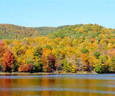
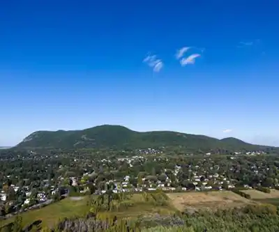
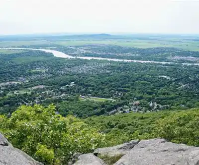
Ready to explore Mont Saint-Hilaire? Here's everything you need to know before you go!
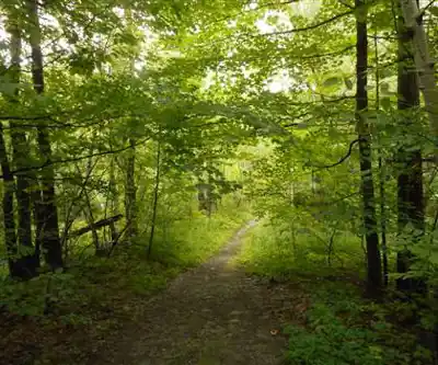
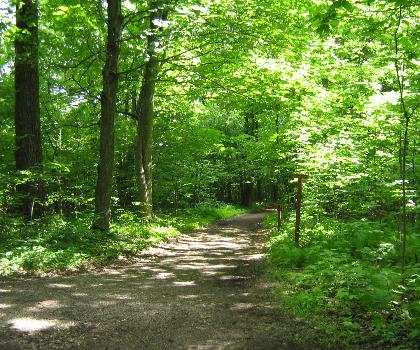
Discover the trail
Watch video


Available trails
| Trails | Distance | Elevation | Duration | Difficulty | GPX |
|---|---|---|---|---|---|
| 0.5 km | 0 m | 15min | Beginner | ||
| 4.9 km | 0 m | 1h | Beginner | ||
| 0.4 km | 0 m | 15min | Beginner | ||
| 2.21 km | 160 m | 44min | Beginner | GPX | |
| 3.7 km | 220 m | 1h30 | Intermediate | GPX | |
| 2.6 km | 255 m | 58min | Intermediate | GPX | |
| 8.8 km | 240 m | 2h30 | Intermediate | GPX |
Trail description
{
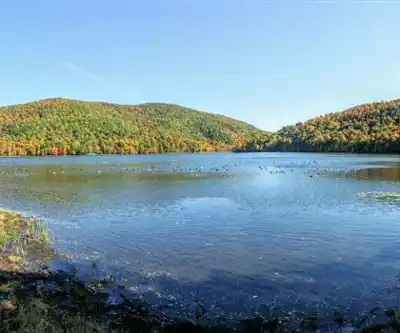
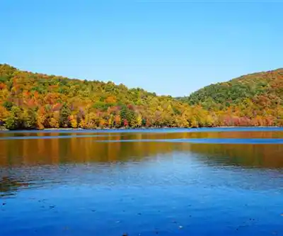
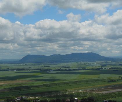
"section": "A Protected Natural Environment",
"original_text": "It holds the distinction of being Québec's first UNESCO Biosphere Reserve, a designation that reflects just how exceptional its ecosystems are.",
"corrected_text": "It holds the distinction of being a UNESCO Biosphere Reserve, a designation that reflects just how exceptional its ecosystems are.",
"reason": "Le statut de 'première réserve de biosphère du Québec' ne peut pas être confirmé par les sources web. Suppression de cette affirmation non vérifiée."
}
Services and amenities
This information may vary by season.
Recommended gear for this trail


Ready to go?
Everything you need to know before you goStarting Point
From Route 116 in Mont-Saint-Hilaire, take Fortier Street, which becomes Ozias-Leduc Road. Then turn left onto Chemin de la Montagne. Then left again on Chemin des Moulins through which you access the Gault Nature Reserve.
When?
All year round, from 8 a.m. to 6 p.m. * Hours may vary by season.
Check the Reserve's website.
How much?
- Hiking shoes Essential
- → Salomon Elixir Tour Mid WP · 203.38 $
- Layered clothing Essential
- Rain jacket Essential
- Trekking poles
- → Black Diamond Trail Ergo Cork · 69.99 $
- Headlamp
- → Petzl Actik Core 625 · 103.95 $
FAQ - Frequently asked questions
Everything you need to know
All year round, from 8 a.m. to 6 p.m. * Hours may vary by season.
Check the Reserve's website.
The Essential Hiking Checklist
Everything you need for your next hike. Bilingual, printable, 1 page.
Download the free checklistSimilar hikes nearby
Discover other trails you might enjoy

Parc Michel Chartrand
Montérégie
Parc De La Cité
Montérégie
Mont Saint Bruno National Park
Montérégie
Rougemont Mount
Montérégie

Parc Régional De Beauharnois - Salaberry
Montérégie

Friends of the Lake Saint-François National Wildlife Area
Montérégie
Hiking near Montreal
92 trails to explore ~31 km away
We work hard to provide the most up-to-date and error-free data possible. If something seems incorrect, let us know! Your contribution helps the whole community.
Hikers' opinions