

Ready to explore Réserve Nationale De Faune Du Lac Saint-françois? Here's everything you need to know before you go!
Discover the trail


Trail description
{
"the_trail": "
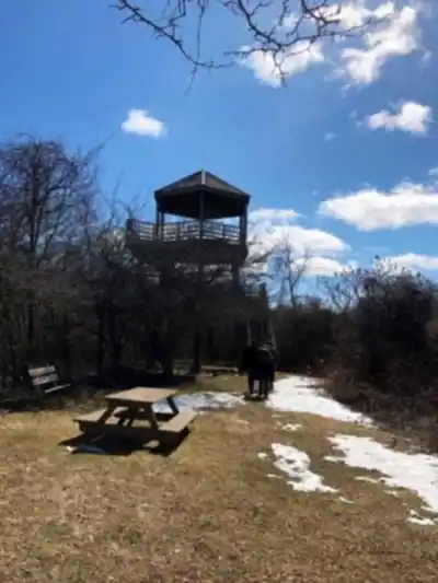
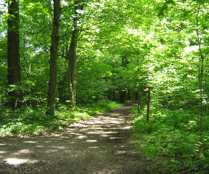
The main trail here runs 10.6 km with minimal elevation gain, making it genuinely flat from start to finish. This is an easy route that most people complete in around 2 hours and 45 minutes, though if you're the type to stop and watch a heron stand motionless for five minutes, budget a little more time. The terrain is well-maintained and accessible, which makes it a solid choice for families, beginners, or anyone looking for a long, peaceful walk without the physical demands of a more technical trail.
","access_period": "
Access Period
The trail is open from May to October. Plan your visit within this seasonal window and verify current conditions before your trip.
"}
Recommended gear for this trail


Ready to go?
Everything you need to know before you goStarting Point
To get to the trailhead of Les amis de la réserve nationale de faune du Lac Saint-François, you must go to Sainte-Julie.
When?
How much?
- Hiking shoes Essential
- → Salomon Elixir Tour Mid WP · 203.38 $
- Layered clothing Essential
- Rain jacket Essential
- Trekking poles
- → Black Diamond Trail Ergo Cork · 69.99 $
- Headlamp
- → Petzl Actik Core 625 · 103.95 $
FAQ - Frequently asked questions
Everything you need to knowThe Essential Hiking Checklist
Everything you need for your next hike. Bilingual, printable, 1 page.
Download the free checklistSimilar hikes nearby
Discover other trails you might enjoy

Parc Michel Chartrand
Montérégie
Parc De La Cité
Montérégie
Mont Saint Bruno National Park
Montérégie

Mont St Hilaire
Montérégie
Rougemont Mount
Montérégie

Parc Régional De Beauharnois - Salaberry
Montérégie
Hiking near Laval
97 trails to explore ~86 km away
We work hard to provide the most up-to-date and error-free data possible. If something seems incorrect, let us know! Your contribution helps the whole community.
Hikers' opinions