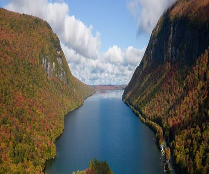
Drive ≈ 30 min
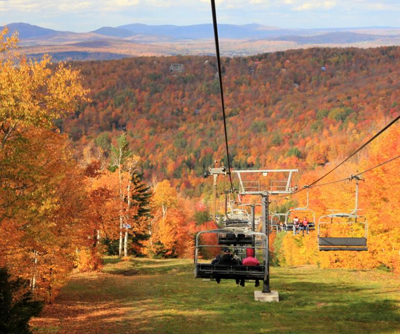
Explore 82.2 km of trails across Quebec's Eastern Townships with 725 m elevation gain and easy access for families and dogs. Easy trail of 82.2 km, 725 m of climb, suitable for children.
Dogs allowed
See the trailor pick your starting city — the number is how many trails we list.

Pick your drive. Save time for the trail.
86 trails within 2 hr of Sherbrooke by car. Compare the drive, the walking time and the level to choose your next outing.
Drive times are estimates (≈) from the city centre, as the crow flies. Walking time comes from the trail page when it has one; a walking filter hides trails without a duration.
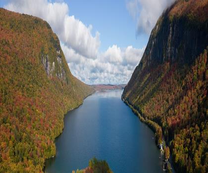
Drive ≈ 30 min
Explore 82.2 km of trails across Quebec's Eastern Townships with 725 m elevation gain and easy access for families and dogs. Easy trail of 82.2 km, 725 m of climb, suitable for children.
Dogs allowed
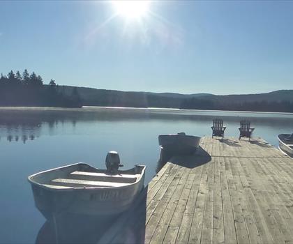
See the trailDrive ≈ 2 hr Walk 1 hr 45 min
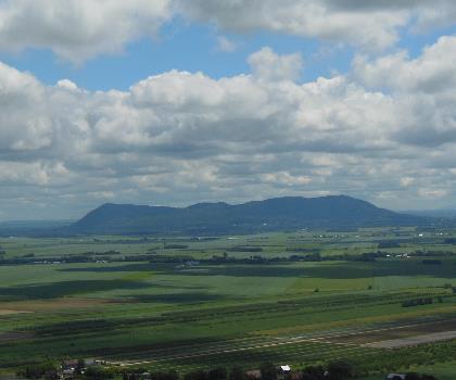
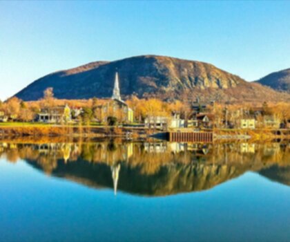
Gault Nature Reserve, owned by McGill University, protects more than 1,000 hectares on Mont Saint-Hilaire (414 m), about 40 km… Moderate trail of 5.4 km, 281 m of climb.
No dogs
See the trailEastern Townships
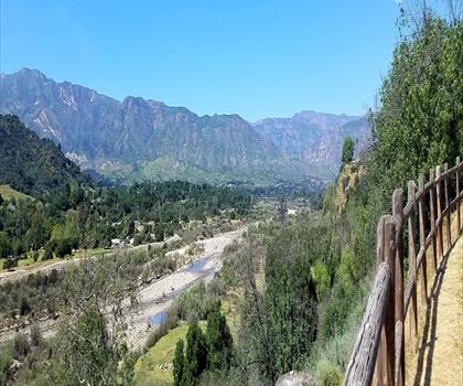
Drive ≈ 2 min Walk 1 hr 15 min
Level: Easy Dogs allowed
Eastern Townships
Drive ≈ 3 min Walk 1 hr 15 min
Level: Easy Dogs allowed
Eastern Townships
Drive ≈ 14 min Walk 1 hr 15 min
Level: Easy Dogs allowed
Eastern Townships
Drive ≈ 15 min Walk 1 hr 30 min
Level: Easy Dogs allowed
Eastern Townships
Drive ≈ 26 min Walk 6 hr 30 min
Level: Easy Dogs allowed
Eastern Townships
Drive ≈ 32 min Walk 1 hr 30 min
Level: Easy
Eastern Townships
Drive ≈ 36 min Walk 5 hr 15 min
Level: Easy Dogs allowed
Eastern Townships
Drive ≈ 52 min Walk 1 hr 30 min
Level: Easy Dogs allowed
Centre-du-Québec
Drive ≈ 1 hr 4 min Walk 1 hr 30 min
Level: Easy Dogs allowed
Eastern Townships
Drive ≈ 1 hr 12 min Walk 2 hr 15 min
Level: Moderate Dogs allowed
Eastern Townships
Drive ≈ 1 hr 15 min Walk 2 hr 30 min
Level: Easy
Eastern Townships
Drive ≈ 1 hr 30 min Walk 1 hr 30 min
Level: Moderate Dogs allowed
Eastern Townships
Drive ≈ 1 hr 34 min Walk 5 hr 30 min
Level: Easy Dogs allowed
Eastern Townships
Drive ≈ 1 hr 43 min Walk 5 hr 30 min
Level: Easy Dogs allowed
Northeast Kingdom Vermont
Drive ≈ 1 hr 6 min Walk 2 hr 30 min
Level: Moderate
Northeast Kingdom Vermont
Drive ≈ 1 hr 16 min Walk 2 hr 30 min
Level: Hard
Northeast Kingdom Vermont
Drive ≈ 1 hr 18 min Walk 2 hr 15 min
Level: Moderate
Northeast Kingdom Vermont
Drive ≈ 1 hr 34 min Walk 2 hr 30 min
Level: Moderate
Western Mountains Maine
Drive ≈ 1 hr 47 min Walk 3 hr
Level: Moderate
Western Mountains Maine
Drive ≈ 1 hr 47 min Walk 3 hr 45 min
Level: Easy
No trail matches these filters. Widen the drive or remove a filter.
Think about the way back, the breaks and the parking.
Opening hours, parking and access conditions can change with the season.
Changing weather can make some trails harder.
Match the length and the level to your group and the time you have.
Without a car, an outing takes more planning. Some destinations near Sherbrooke may be served by public transit, but none of our trail pages lists it yet.
Check schedules and the last return trip with the transit agency before you go.
See the frequently asked questionsSpring
Spring hiking around Sherbrooke typically begins in late April to early May when snow melts and trails become accessible.
Muddy conditions are common, so waterproof boots are essential, and many higher elevation trails may still have snow patches. This season offers beautiful wildflower blooms and migrating birds, making it ideal for nature photography along the region's forest trails.
Summer
Summer provides the best hiking conditions in Sherbrooke with warm temperatures averaging 20-25°C and long daylight hours until 8 PM.
All 86 trails in the area are fully accessible, from easy riverside walks to challenging mountain hikes. Pack plenty of water, sunscreen, and insect repellent as black flies and mosquitoes can be numerous in forested areas.
Fall
Fall hiking near Sherbrooke is spectacular from mid-September to mid-October when maple, birch, and oak trees create vibrant autumn colors.
Temperatures range from 5-15°C, making layered clothing essential as conditions can change quickly. This is considered peak hiking season for the region's scenic lookouts and ridge trails that showcase the Eastern Townships' famous fall foliage.
Winter
Winter transforms Sherbrooke's hiking trails into snowshoeing and cross-country skiing routes from December through March.
Temperatures often drop below -15°C, requiring proper winter gear including insulated boots, warm layers, and traction devices. Many trails are maintained for winter sports, offering a peaceful way to explore snow-covered forests and frozen waterfalls in the region.
The page lists 86 trails. The closest is Mont du Blizzard (≈ 1 min drive from downtown), the farthest Mont St Hilaire (≈ 2 hr). Drive times are estimated as the crow flies.
12 trails are within ≈ 30 min of driving, 25 within ≈ 1 hr, and all of them within ≈ 2 hr. These are estimates from downtown.
Among the trails on this page, the most viewed on Let's Go Play Outside are Mont St Hilaire, Mont Yamaska and Parc Harold F. Baldwin (Mont Pinacle).
73 listings give a length, from 2 km (Parc du Domaine Howard) to 82.2 km (Mount Orford National Park). The other 13 do not say.
Yes: among the trails on this page that give a level, 41 easy, 21 moderate and 11 hard. The closest easy ones: Promenade du Lac-des-Nations, Parc du Domaine Howard and Le Circuit du Vieux Nord de Sherbrooke.
30 listings say dogs are allowed and 4 say they are not. For the other 52, the rule is not confirmed: check the trail page before you go.
11 listings say access is free, including Promenade du Lac-des-Nations, Parc du Mont-Bellevue and Base plein air André-Nadeau among the closest. For the others, free access is not confirmed: check the trail page.
Free guide: 25 hikes under 2 hours from Montreal
Drive time, distance and level for each one. The ones we go back to ourselves.
Get the guide