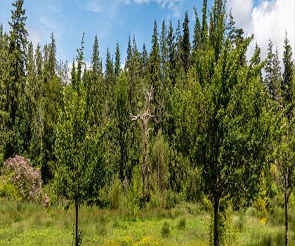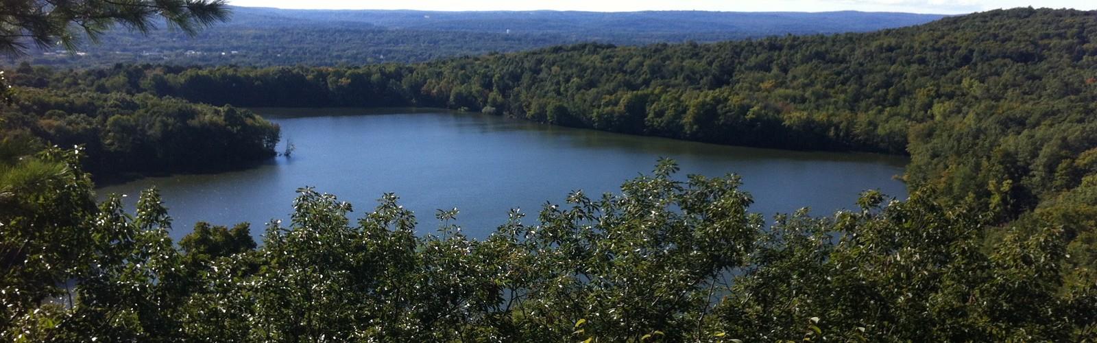
Drive ≈ 20 min
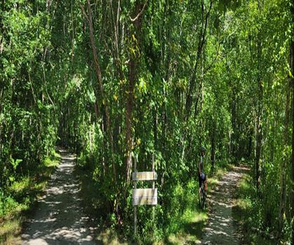
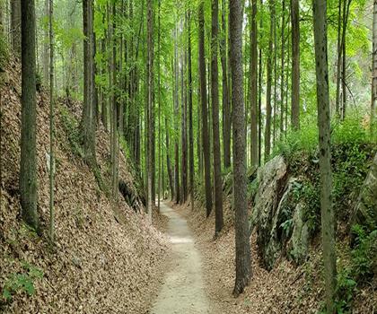
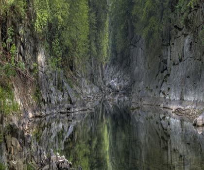
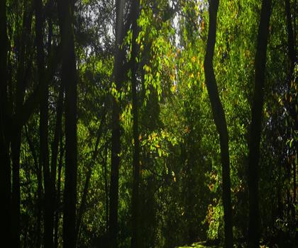
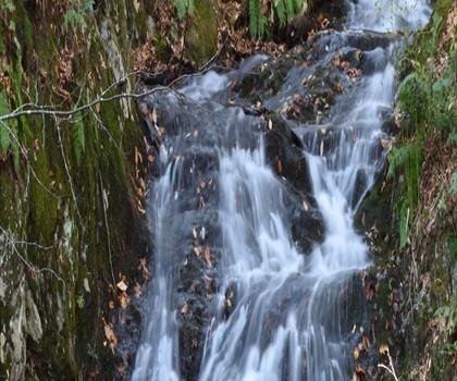
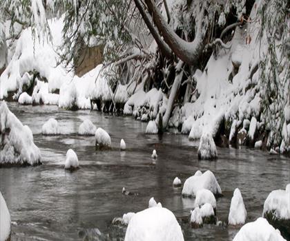
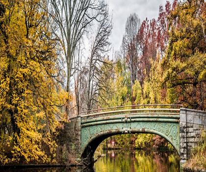
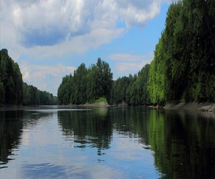
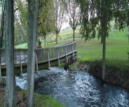
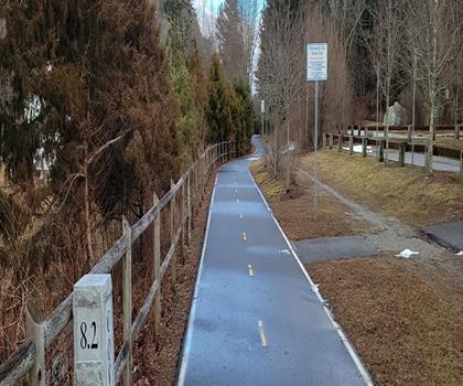
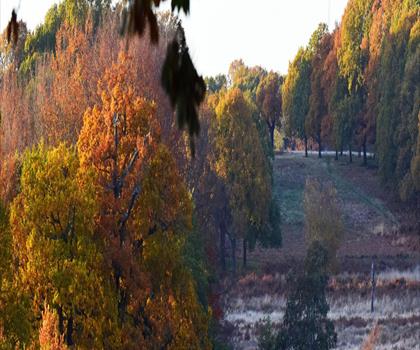
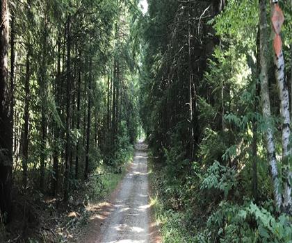
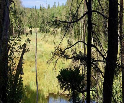
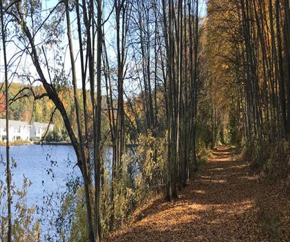
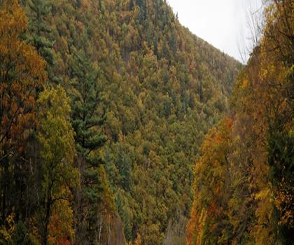
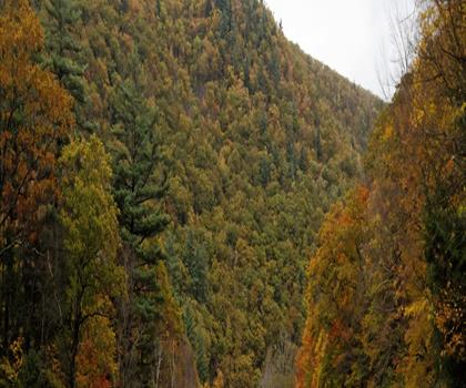
Many trails along the Farmington River follow old railroad grades and towpaths, giving flat, easy walking beneath sycamores and…
Dog rules: check the trail page
See the trailor pick your starting city — the number is how many trails we list.
Pick your drive. Save time for the trail.
104 trails within 2 hr of Hartford by car. Compare the drive, the walking time and the level to choose your next outing.
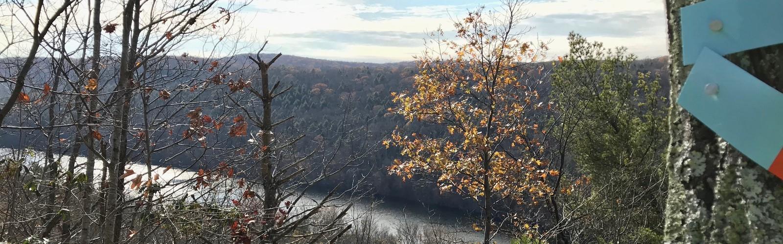
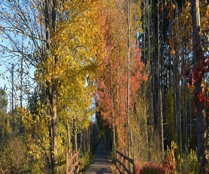
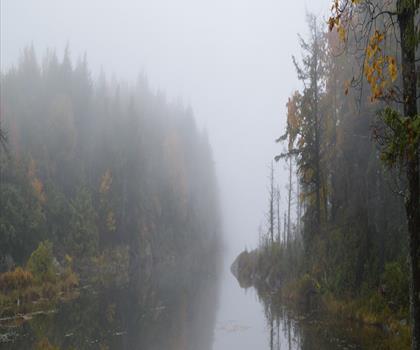
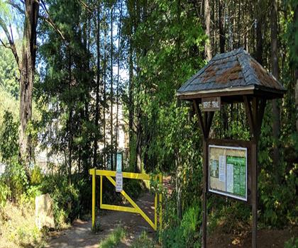
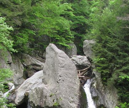
Photo : Farmington River
Drive times are estimates (≈) from the city centre, as the crow flies. Walking time comes from the trail page when it has one; a walking filter hides trails without a duration.
Drive ≈ 20 min
Many trails along the Farmington River follow old railroad grades and towpaths, giving flat, easy walking beneath sycamores and…
Dog rules: check the trail page
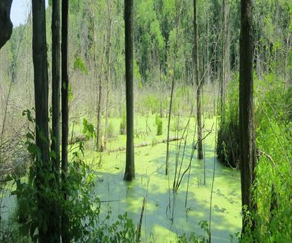
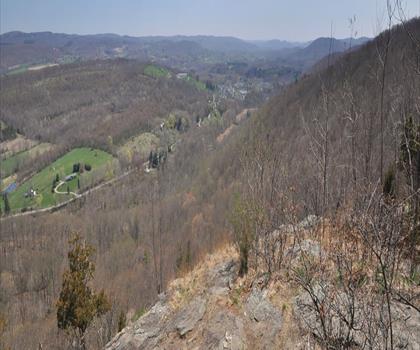
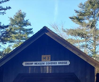
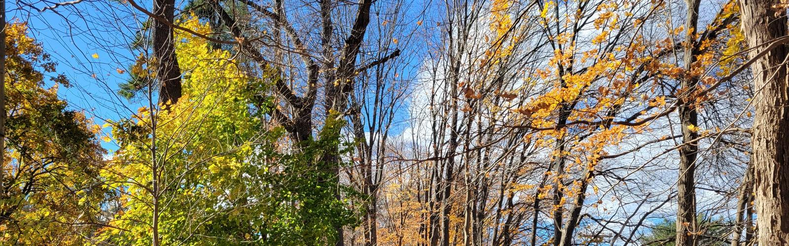
See the trailDrive ≈ 42 min Walk 1 hr 45 min
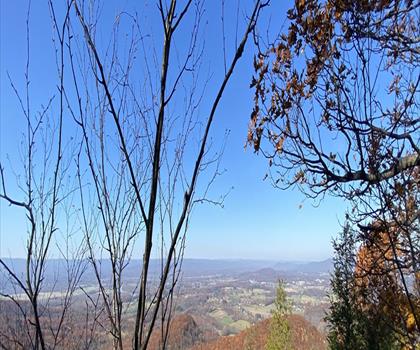
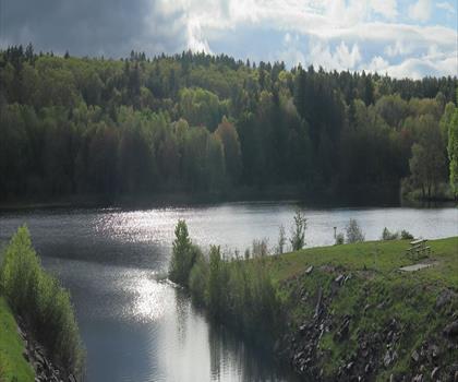
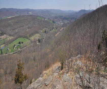
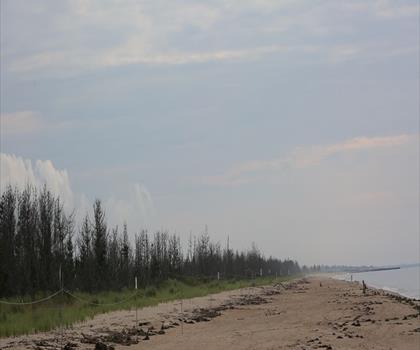
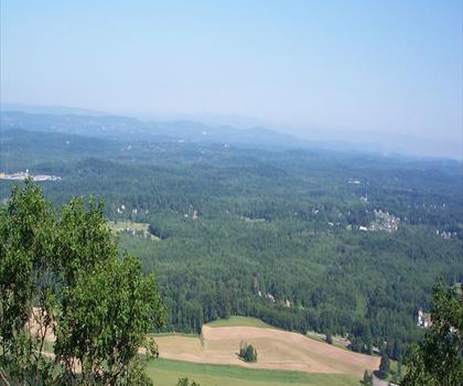
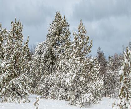
Explore 2.4 km of moderate hiking in northern New Hampshire with 450 m elevation gain and panoramic valley views from multiple…
Dog rules: check the trail page
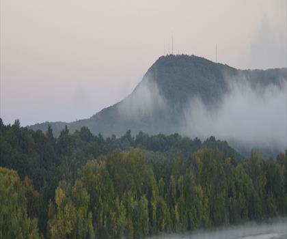
See the trailCentral Massachusetts Massachusetts
Drive ≈ 23 min Walk 1 hr 30 min
Level: Moderate
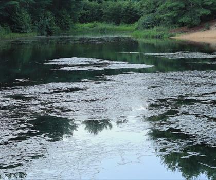
Pioneer Valley Massachusetts
Drive ≈ 1 hr 8 min Walk 2 hr 30 min
Level: Moderate Dogs allowed
Central Massachusetts Massachusetts
Drive ≈ 1 hr 13 min Walk 1 hr 15 min
Level: Easy
Central Massachusetts Massachusetts
Drive ≈ 1 hr 14 min Walk 1 hr
Level: Easy
Pioneer Valley Massachusetts
Drive ≈ 1 hr 18 min Walk 4 hr 30 min
Level: Easy Dogs allowed
The Berkshires Massachusetts
Drive ≈ 1 hr 24 min Walk 4 hr 30 min
Level: Moderate Dogs allowed
Pioneer Valley Massachusetts
Drive ≈ 1 hr 24 min Walk 30 min
Level: Easy Dogs allowed
The Berkshires Massachusetts
Drive ≈ 1 hr 27 min Walk 2 hr 30 min
Level: Moderate Dogs allowed
The Berkshires Massachusetts
Drive ≈ 1 hr 28 min Walk 2 hr 30 min
Level: Moderate Dogs allowed
The Berkshires Massachusetts
Drive ≈ 1 hr 29 min Walk 1 hr 45 min
Level: Moderate Dogs allowed
Central Massachusetts Massachusetts
Drive ≈ 1 hr 29 min Walk 1 hr 15 min
Level: Easy
South County Rhode Island
Drive ≈ 1 hr 33 min Walk 2 hr 15 min
Level: Easy
The Berkshires Massachusetts
Drive ≈ 1 hr 34 min Walk 45 min
Level: Easy Dogs allowed
The Berkshires Massachusetts
Drive ≈ 1 hr 34 min Walk 1 hr 30 min
Level: Moderate
South County Rhode Island
Drive ≈ 1 hr 34 min Walk 45 min
Level: Easy
The Berkshires Massachusetts
Drive ≈ 1 hr 35 min Walk 1 hr 45 min
Level: Easy Dogs allowed
South Shore Massachusetts
Drive ≈ 1 hr 38 min Walk 45 min
Level: Easy
Central Massachusetts Massachusetts
Drive ≈ 1 hr 44 min Walk 30 min
Level: Easy
Hudson Valley New York
Drive ≈ 1 hr 45 min Walk 1 hr 15 min
Level: Easy Dogs allowed
The Berkshires Massachusetts
Drive ≈ 1 hr 46 min
Level: Hard Dogs allowed
The Berkshires Massachusetts
Drive ≈ 1 hr 46 min Walk 30 min
Level: Easy Dogs allowed
Central Massachusetts Massachusetts
Drive ≈ 1 hr 48 min Walk 1 hr
Level: Moderate Dogs allowed
Central Massachusetts Massachusetts
Drive ≈ 1 hr 48 min Walk 1 hr 15 min
Level: Easy
Hudson Valley New York
Drive ≈ 1 hr 49 min Walk 2 hr 30 min
Level: Easy Dogs allowed
The Berkshires Massachusetts
Drive ≈ 1 hr 50 min Walk 1 hr 36 min
Level: Easy Dogs allowed
Central Massachusetts Massachusetts
Drive ≈ 1 hr 50 min Walk 30 min
Level: Easy
Long Island New York
Drive ≈ 1 hr 52 min Walk 36 min
Level: Easy Dogs allowed
Central Massachusetts Massachusetts
Drive ≈ 1 hr 52 min Walk 1 hr 15 min
Level: Easy
Central Massachusetts Massachusetts
Drive ≈ 1 hr 54 min Walk 45 min
Level: Easy Dogs allowed
The Berkshires Massachusetts
Drive ≈ 1 hr 56 min Walk 1 hr 20 min
Level: Easy
Central Massachusetts Massachusetts
Drive ≈ 1 hr 59 min Walk 1 hr 15 min
Level: Easy
Western Massachusetts Massachusetts
Drive ≈ 1 hr 59 min Walk 2 hr 45 min
Level: Moderate Dogs allowed
No trail matches these filters. Widen the drive or remove a filter.
Think about the way back, the breaks and the parking.
Opening hours, parking and access conditions can change with the season.
Changing weather can make some trails harder.
Match the length and the level to your group and the time you have.
Without a car, an outing takes more planning. Some destinations near Hartford may be served by public transit, but none of our trail pages lists it yet.
Check schedules and the last return trip with the transit agency before you go.
See the frequently asked questionsSpring
Spring in Hartford brings mild temperatures and blooming wildflowers, making it an ideal time for hiking as trails become accessible after winter thaw.
The Connecticut River Valley offers scenic walks with temperatures ranging from 50-70°F, though trails can be muddy from snowmelt and spring rains. Pack waterproof boots and layers, as weather can be unpredictable with occasional late-season frost.
Summer
Summer hiking near Hartford features warm, humid conditions with temperatures often reaching 80-85°F and frequent afternoon thunderstorms.
Early morning or evening hikes are recommended to avoid peak heat and humidity, with plenty of water essential for any outdoor activity. The lush green forests provide good shade, but insect repellent is crucial due to mosquitoes and ticks being most active during this season.
Fall
Fall transforms the Hartford area into a spectacular display of autumn foliage, with peak colors typically occurring in early to mid-October.
Comfortable temperatures between 45-65°F make this the most popular hiking season, though trails can become crowded during peak foliage weekends. Layer clothing for temperature variations and consider visiting state parks slightly outside the immediate Hartford area for the best fall hiking experiences.
Winter
Winter hiking near Hartford requires preparation for cold temperatures averaging 20-40°F and potential snow and ice on trails.
Microspikes or traction devices are essential for safe winter hiking, along with insulated layers and waterproof boots. Shorter daylight hours mean planning hikes to finish well before dark, and checking trail conditions beforehand is crucial as some paths may be closed or poorly maintained during winter months.
The page lists 104 trails. The closest is Farmington River (≈ 20 min drive from downtown), the farthest Yawgoo Valley Ski Area & Water Park (≈ 2 hr). Drive times are estimated as the crow flies.
4 trails are within ≈ 30 min of driving, 10 within ≈ 1 hr, and all of them within ≈ 2 hr. These are estimates from downtown.
Among the trails on this page, the most viewed on Let's Go Play Outside are Indian Island County Park, October Mountain State Forest and Wildwood State Park.
94 listings give a length, from 0.8 km (Richmond Pond) to 177 km (Metacomet-Monadnock Trail). The other 10 do not say.
Yes: among the trails on this page that give a level, 77 easy, 14 moderate and 6 hard. The closest easy ones: Farmington River, Bradley Mountain Farm and Valley Falls Park.
26 listings say dogs are allowed and 2 say they are not. For the other 76, the rule is not confirmed: check the trail page before you go.
Free guide: 25 hikes under 2 hours from Montreal
Drive time, distance and level for each one. The ones we go back to ourselves.
Get the guide