
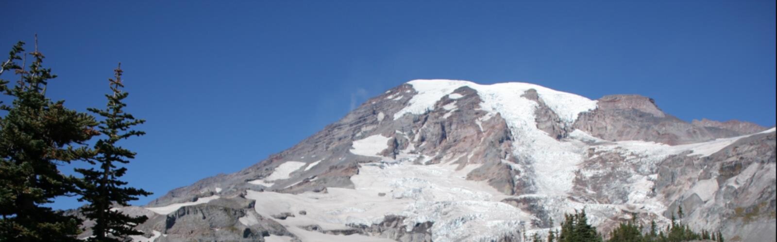

Ready to explore Mount Ethel, Massachusetts? Here's everything you need to know before you go!
Discover the trail
Oh no! We don't have any photos 😢
This trail hasn't been captured yet. Be the first to share your adventure!Trail description
Mount Ethel sits quietly in the Berkshires of western Massachusetts, the kind of summit that doesn't show up on every list but rewards the hikers who seek it out. It's a local gem — less crowded than some of the region's bigger names, with a character that feels genuinely wild and unhurried. If you're looking for a place to get into the woods and away from the noise, Mount Ethel delivers exactly that.
The Terrain
The landscape here is classic Berkshires: mixed hardwood and conifer forest, rocky outcroppings, and the kind of uneven, rooted trail surface that keeps you paying attention. The forest canopy shifts as you gain elevation, with the understory opening up in places to give you a sense of the ridge you're climbing toward. The ground is often mossy and damp in the lower sections, transitioning to drier, rockier footing as you move uphill.
The Berkshires are part of the Taconic and Hoosac mountain ranges, and Mount Ethel fits naturally into that broader landscape of forested ridges and quiet valleys. The geology here is ancient — metamorphic rock shaped over hundreds of millions of years — and you'll feel it underfoot on the upper sections of the trail where bedrock breaks through the surface.
What the Hike Feels Like
This is the kind of trail where the journey matters as much as the destination. The forest is dense and immersive, and the sounds of the outside world fade quickly once you're a few minutes in. Birdsong, wind through the canopy, the occasional rustle in the underbrush — that's your soundtrack here.
The trail has a natural rhythm to it. There are sections where the grade eases and you can move at a comfortable pace, and others where the terrain demands a bit more effort and focus. It's not a technical climb, but it's not a flat stroll either. Hikers who are reasonably comfortable on uneven, forested terrain will feel right at home.
The summit area offers the payoff — a sense of elevation and perspective that puts the surrounding Berkshire landscape into context. Depending on the season and the leaf cover, views can open up in different directions, giving you a feel for just how much forested land stretches out across this corner of Massachusetts.
The Berkshires Context
The Berkshires are one of New England's most beloved outdoor destinations, and for good reason. The region has a long history of conservation, with large tracts of protected land managed by a mix of state agencies, land trusts, and private organizations. Mount Ethel exists within this broader network of preserved land, which means the forest around it has had time to mature and recover — you're hiking through real, established woodland, not a thin strip of trees between developments.
The area is also rich in cultural and natural history. Indigenous peoples traveled and lived throughout these hills long before European settlement, and the landscape has been shaped by centuries of human presence — from farming and logging to the conservation movement that took hold in the late 19th and early 20th centuries. That layered history is part of what gives the Berkshires their particular character, and Mount Ethel is no exception.
Wildlife and Nature
The forests of the Berkshires support a wide range of wildlife, and Mount Ethel's relatively undisturbed terrain makes it a solid spot for nature observation. White-tailed deer are common throughout the region, and black bear, wild turkey, and a variety of raptors are all part of the local ecosystem. Migratory songbirds pass through in spring and fall, making those seasons particularly rewarding for anyone who pays attention to birds.
The forest itself is a mix of species typical of the northeastern hardwood zone — maple, beech, birch, and oak at lower elevations, with conifers becoming more prominent as you climb. Ferns, wildflowers, and mosses fill in the understory, and seasonal mushrooms are abundant in the wetter months. It's a living, dynamic forest, and spending time in it feels genuinely restorative.
Practical Information
A few things worth knowing before you head out:
- Footwear: Trail runners or hiking boots with good grip are recommended. The terrain is rooted and rocky in places, and can be slippery when wet.
- Navigation: Bring a map or download the trail to your GPS device before you go. Cell service in the Berkshires can be unreliable in forested areas.
- Water: Carry what you need. There are no guaranteed water sources along the trail.
- Leave No Trace: Pack out everything you bring in. The relatively low traffic on this trail is part of what keeps it feeling wild — help maintain that.
- Seasons: The trail is accessible in all four seasons, though spring mud season (typically March through early May) can make conditions challenging. Winter hiking is possible but requires appropriate gear and preparation for icy, snow-covered terrain.
Getting There
Mount Ethel is located in the Berkshires region of western Massachusetts. As with many trails in this part of the state, access roads can be narrow and unpaved in sections — check current conditions before you go, especially after significant rain or during the winter months. Parking is limited, so arriving early on busy weekends is a good habit.
The Berkshires are well-connected by road from both the Boston area to the east and the Albany, New York area to the west, making Mount Ethel a reasonable day trip from a wide range of starting points across the region.
Who This Trail Is For
Mount Ethel is a strong choice for hikers who want a genuine forest experience without the crowds that come with the Berkshires' most famous destinations. It suits people who are comfortable on natural, unmanicured trail surfaces and who appreciate a hike that feels like an actual adventure rather than a walk in a park. Families with older children who have some hiking experience will find it manageable, and solo hikers or small groups looking for a quieter day out will feel right at home on this summit.
The Essential Hiking Checklist
Everything you need for your next hike. Bilingual, printable, 1 page.
Get your free hiking checklistRecommended gear for this trail
As an Amazon Associate I earn from qualifying purchases.


Ready to go?
Everything you need to know before you goWhen?
How much?
As an Amazon Associate I earn from qualifying purchases.
Affiliate links — LGPO may earn a commission at no extra cost to you.
- Hiking shoes Essential
- → Salomon Elixir Tour Mid WP · 203.38 $
- Layered clothing Essential
- Rain jacket Essential
- Trekking poles
- → Black Diamond Trail Ergo Cork · 69.99 $
- Headlamp
- → Petzl Actik Core 625 · 103.95 $
FAQ - Frequently asked questions
Everything you need to knowSimilar hikes nearby
Discover other trails you might enjoy
Monument Mountain
The Berkshires
Ashuwillticook Rail Trail
The Berkshires

Thousand Acre Swamp
The Berkshires
Lake Williams State Park
The Berkshires
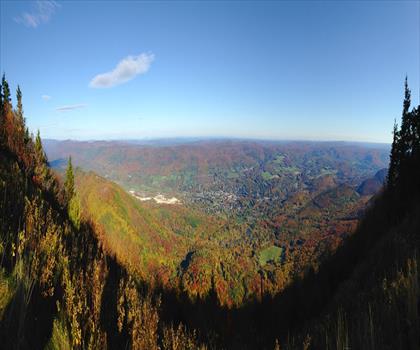
Mount Greylock State Reservation
The Berkshires
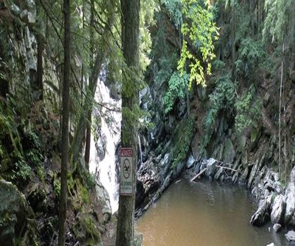
Wahconah Falls State Park
The Berkshires
Hiking near Poughkeepsie
0 trails to explore ~60 km away
We work hard to provide the most up-to-date and error-free data possible. If something seems incorrect, let us know! Your contribution helps the whole community.
Hikers' opinions
Be the first to review!
No hiker has shared their experience yet. Share your impressions and help other hikers!