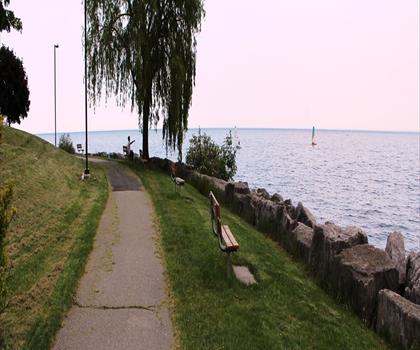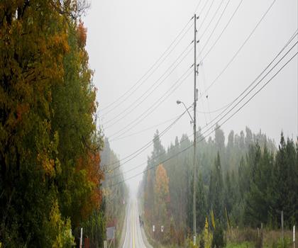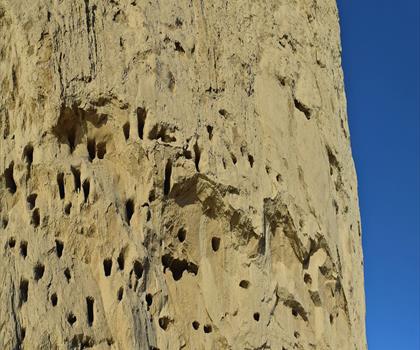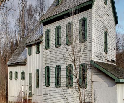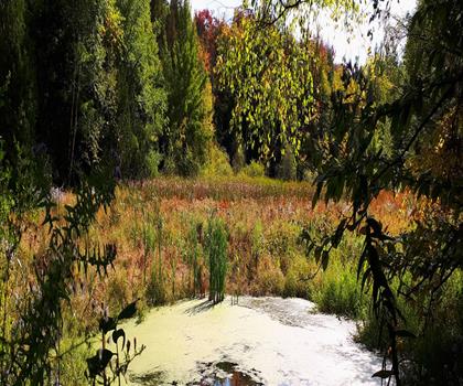

Drive ≈ 20 min Walk 45 min
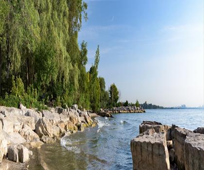
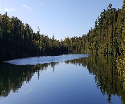
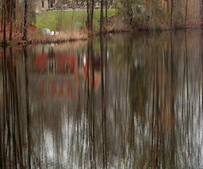
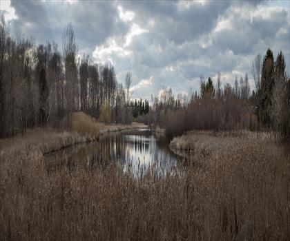
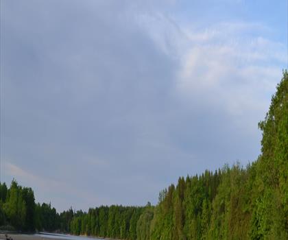
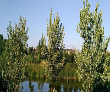
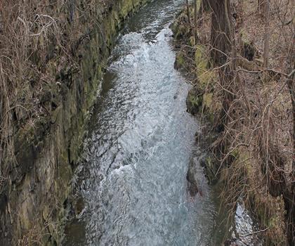
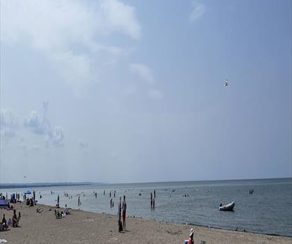
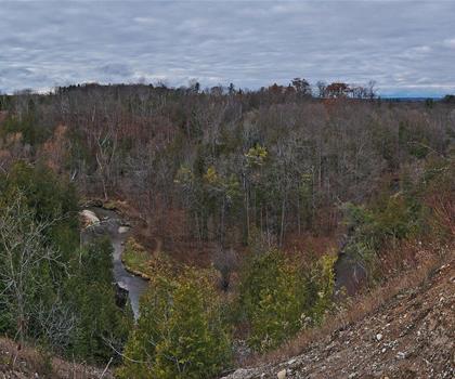
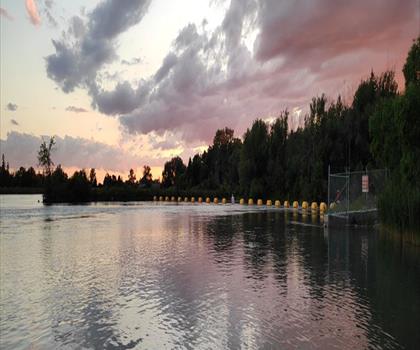
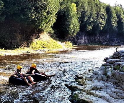
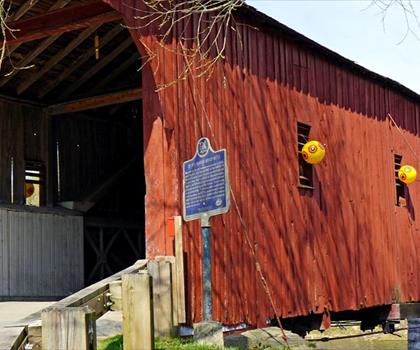
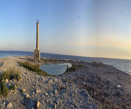
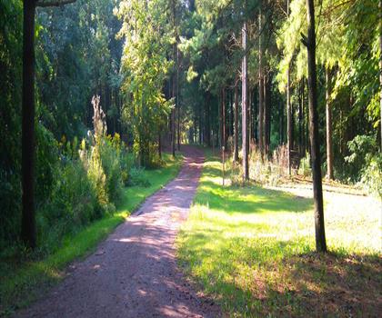
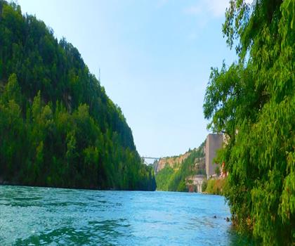
Nestled along the Grand River in Hamilton, Halton and Brant, this conservation area combines 50 m of elevation gain with diverse… Easy trail of 2.5 km, 45 m of climb.
Dog rules: check the trail page
See the trailor pick your starting city — the number is how many trails we list.
Pick your drive. Save time for the trail.
184 trails within 2 hr of Mississauga by car. Compare the drive, the walking time and the level to choose your next outing.
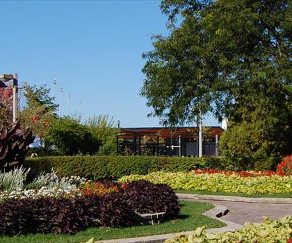
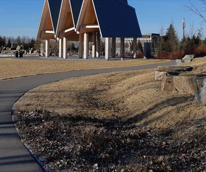
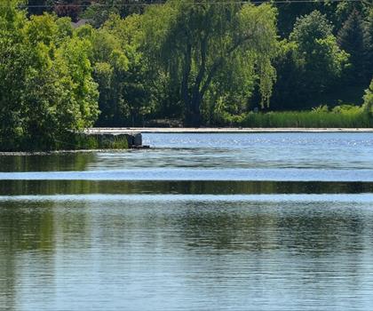
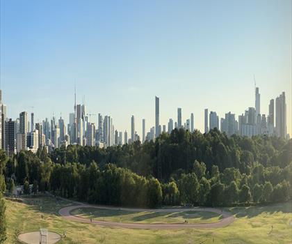
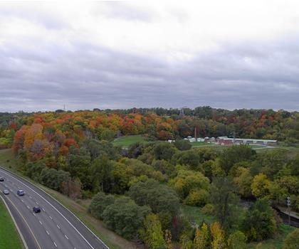
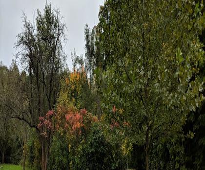
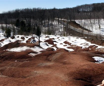
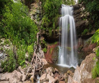
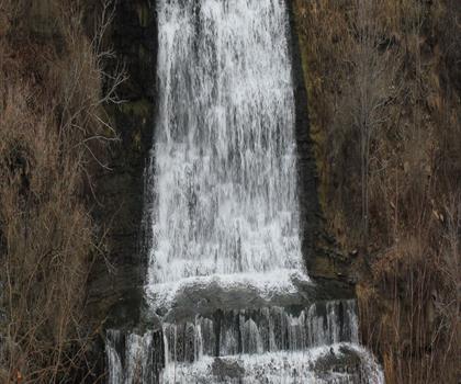
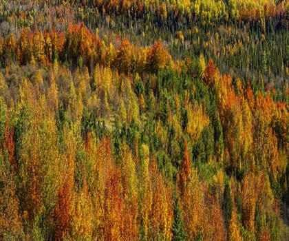
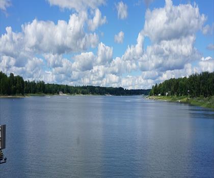
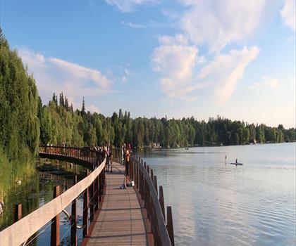
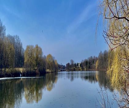
Photo : Lions Valley Park
Drive times are estimates (≈) from the city centre, as the crow flies. Walking time comes from the trail page when it has one; a walking filter hides trails without a duration.
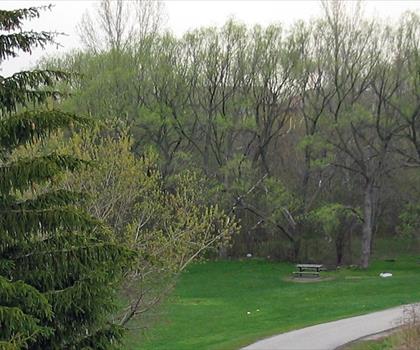
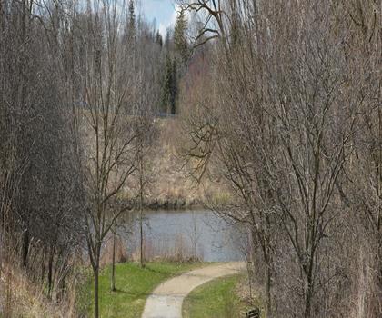
Drive ≈ 20 min Walk 45 min
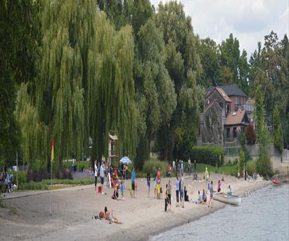
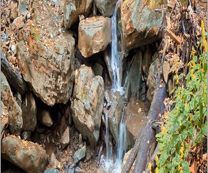
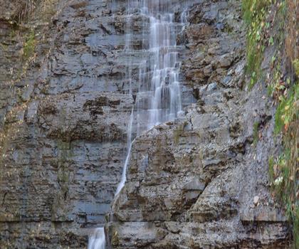
Nestled along the Grand River in Hamilton, Halton and Brant, this conservation area combines 50 m of elevation gain with diverse… Easy trail of 2.5 km, 45 m of climb.
Dog rules: check the trail page
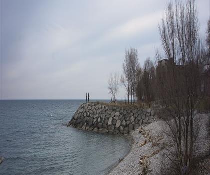
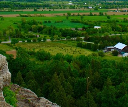
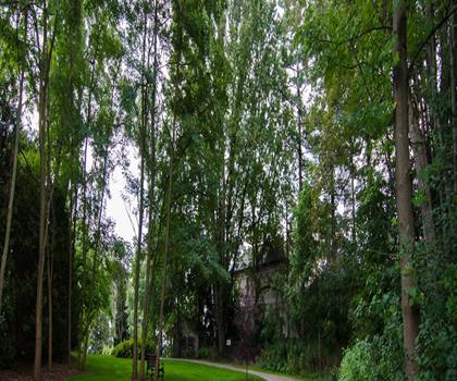
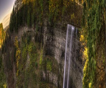
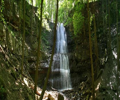
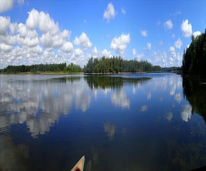
See the trailDrive ≈ 43 min Walk 1 hr 15 min
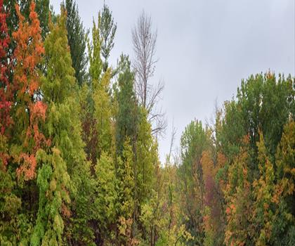
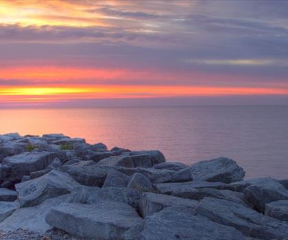
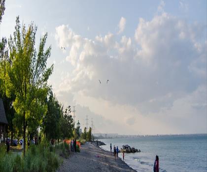
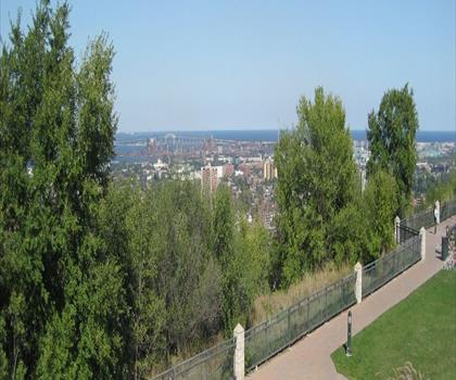
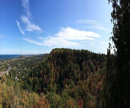
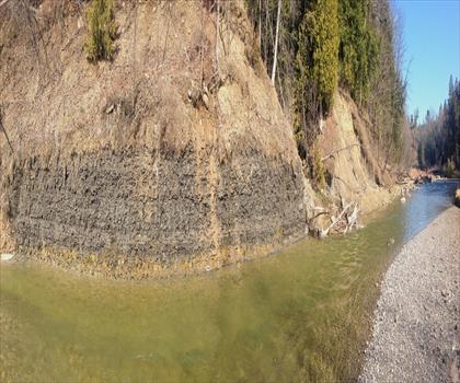
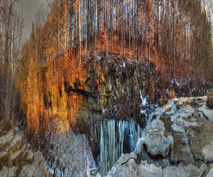
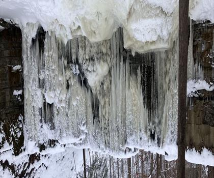
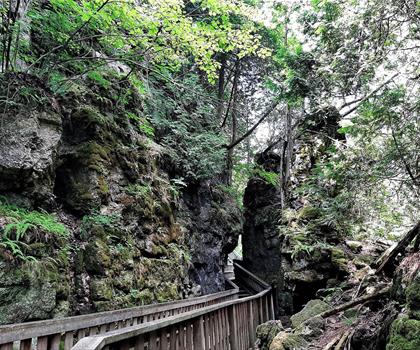
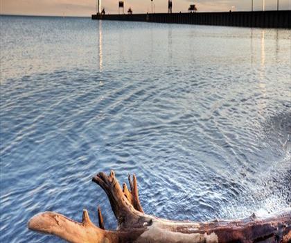
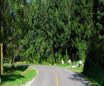
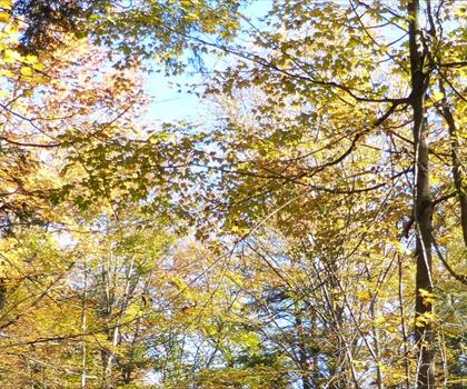
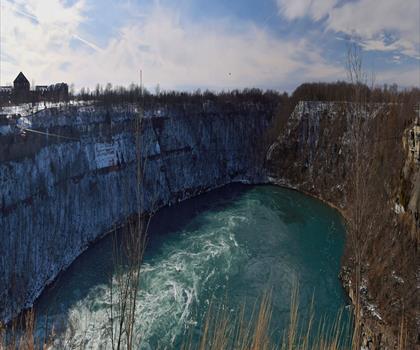
Experience towering limestone cliffs rising 90 meters above Lake Ontario on this 3.2 km easy trail near Toronto. Easy trail of 3.2 km, 85 m of climb, suitable for children.
Dogs allowed
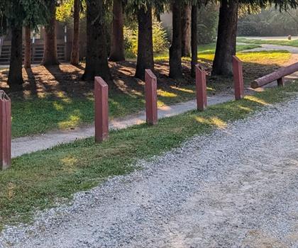
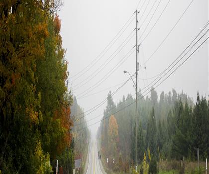
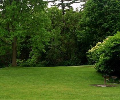
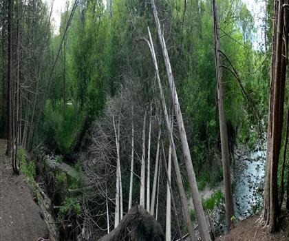
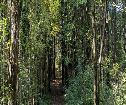
See the trailDrive ≈ 1 hr 11 min Walk 45 min
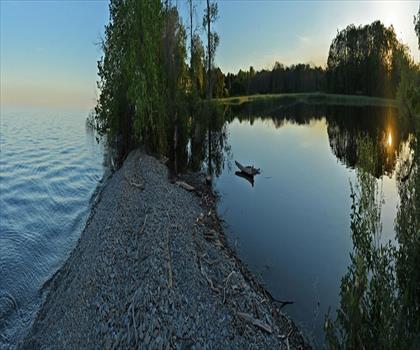
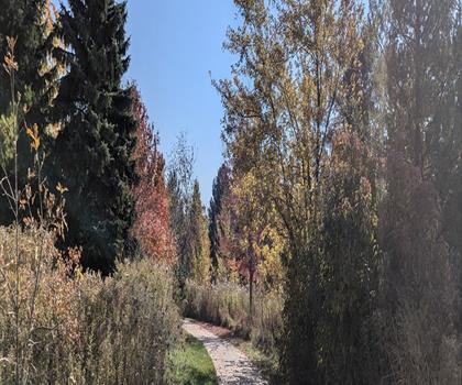
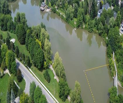
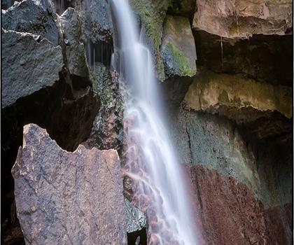
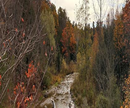
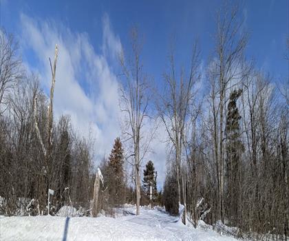
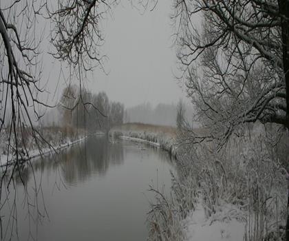
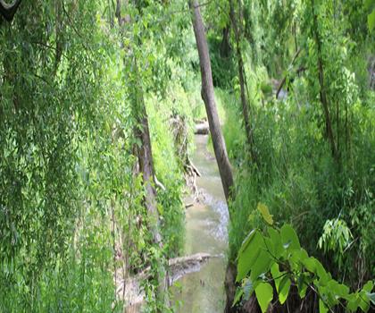
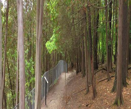
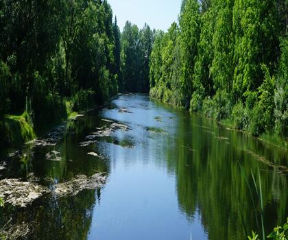
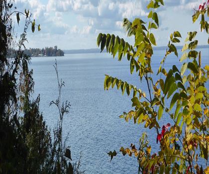
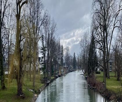
This easy 1.2 km trail winds through 1,200 acres of lush forest in the York, Durham and Headwaters region. Easy trail of 2.5 km, 223 m of climb.
Dog rules: check the trail page
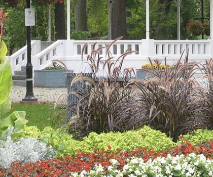
See the trailGreater Toronto Area
Drive ≈ 13 min Walk 1 hr 30 min
Level: Easy Dogs allowed
Greater Toronto Area
Drive ≈ 22 min Walk 1 hr 15 min
Level: Moderate Dogs allowed
Greater Toronto Area
Drive ≈ 25 min Walk 30 min
Level: Easy Dogs allowed
Hamilton, Halton and Brant
Drive ≈ 28 min Walk 1 hr
Level: Easy Dogs allowed
Hamilton, Halton and Brant
Drive ≈ 31 min Walk 45 min
Level: Easy Dogs allowed
Hamilton, Halton and Brant
Drive ≈ 31 min Walk 2 hr 30 min
Level: Moderate Dogs allowed
Hamilton, Halton and Brant
Drive ≈ 33 min Walk 1 hr 15 min
Dogs allowed
Hamilton, Halton and Brant
Drive ≈ 33 min Walk 1 hr 15 min
Level: Easy Dogs allowed
Hamilton, Halton and Brant
Drive ≈ 33 min Walk 1 hr
Level: Easy Dogs allowed
Hamilton, Halton and Brant
Drive ≈ 34 min
Dogs allowed
Hamilton, Halton and Brant
Drive ≈ 35 min Walk 30 min
Level: Easy Dogs allowed
York, Durham and Headwaters
Drive ≈ 37 min Walk 1 hr 20 min
Level: Easy Dogs allowed
Greater Toronto Area
Drive ≈ 37 min Walk 1 hr 15 min
Level: Easy Dogs allowed
Hamilton, Halton and Brant
Drive ≈ 39 min Walk 1 hr 30 min
Level: Moderate Dogs allowed
Hamilton, Halton and Brant
Drive ≈ 40 min
Level: Easy Dogs allowed
York, Durham and Headwaters
Drive ≈ 41 min Walk 1 hr 30 min
Level: Easy Dogs allowed
Greater Toronto Area
Drive ≈ 43 min Walk 1 hr 15 min
Level: Easy Dogs allowed
York, Durham and Headwaters
Drive ≈ 44 min Walk 3 hr 45 min
Level: Moderate
York, Durham and Headwaters
Drive ≈ 44 min Walk 1 hr 30 min
Level: Easy
Hamilton, Halton and Brant
Drive ≈ 46 min Walk 1 hr 30 min
Level: Moderate Dogs allowed
York, Durham and Headwaters
Drive ≈ 46 min Walk 3 hr 45 min
Level: Easy Dogs allowed
Hamilton, Halton and Brant
Drive ≈ 49 min Walk 1 hr 30 min
Level: Easy Dogs allowed
York, Durham and Headwaters
Drive ≈ 51 min Walk 2 hr 30 min
Level: Moderate Dogs allowed
Hamilton, Halton and Brant
Drive ≈ 53 min Walk 2 hr 30 min
Dogs allowed
Greater Toronto Area
Drive ≈ 55 min Walk 2 hr 30 min
Level: Easy Dogs allowed
York, Durham and Headwaters
Drive ≈ 55 min Walk 1 hr 15 min
Level: Moderate Dogs allowed
York, Durham and Headwaters
Drive ≈ 56 min Walk 2 hr 30 min
Level: Moderate
Huron, Perth, Waterloo and Wellington
Drive ≈ 57 min Walk 50 min
Level: Easy
York, Durham and Headwaters
Drive ≈ 1 hr 3 min Walk 2 hr 30 min
Level: Easy
Hamilton, Halton and Brant
Drive ≈ 1 hr 8 min Walk 1 hr 30 min
Level: Hard
Huron, Perth, Waterloo and Wellington
Drive ≈ 1 hr 9 min Walk 2 hr 15 min
Level: Moderate
York, Durham and Headwaters
Drive ≈ 1 hr 11 min
Level: Moderate Dogs allowed
York, Durham and Headwaters
Drive ≈ 1 hr 11 min Walk 3 hr 15 min
Level: Easy
Huron, Perth, Waterloo and Wellington
Drive ≈ 1 hr 15 min Walk 45 min
Level: Easy
York, Durham and Headwaters
Drive ≈ 1 hr 19 min Walk 1 hr 30 min
Level: Moderate
Huron, Perth, Waterloo and Wellington
Drive ≈ 1 hr 19 min Walk 3 hr 30 min
Level: Moderate Dogs allowed
Bruce Peninsula, Southern Georgian Bay and Lake Simcoe
Drive ≈ 1 hr 20 min Walk 1 hr 15 min
Level: Easy Dogs allowed
Huron, Perth, Waterloo and Wellington
Drive ≈ 1 hr 23 min Walk 3 hr 30 min
York, Durham and Headwaters
Drive ≈ 1 hr 25 min Walk 2 hr 15 min
Level: Moderate Dogs allowed
Hamilton, Halton and Brant
Drive ≈ 1 hr 25 min Walk 3 hr 30 min
Level: Moderate Dogs allowed
Huron, Perth, Waterloo and Wellington
Drive ≈ 1 hr 26 min
Level: Easy Dogs allowed Public transit listed
Huron, Perth, Waterloo and Wellington
Drive ≈ 1 hr 27 min Walk 45 min
Level: Easy
Hamilton, Halton and Brant
Drive ≈ 1 hr 28 min Walk 4 hr 15 min
Level: Moderate Dogs allowed
Huron, Perth, Waterloo and Wellington
Drive ≈ 1 hr 29 min Walk 30 min
Level: Easy
York, Durham and Headwaters
Drive ≈ 1 hr 32 min Walk 2 hr 15 min
Level: Easy Dogs allowed
Bruce Peninsula, Southern Georgian Bay and Lake Simcoe
Drive ≈ 1 hr 39 min Walk 45 min
Level: Easy
Southwest Ontario
Drive ≈ 1 hr 39 min Walk 45 min
Level: Easy Dogs allowed
York, Durham and Headwaters
Drive ≈ 1 hr 43 min Walk 1 hr 15 min
Level: Easy Dogs allowed
Huron, Perth, Waterloo and Wellington
Drive ≈ 1 hr 46 min Walk 1 hr 15 min
Level: Easy
Bruce Peninsula, Southern Georgian Bay and Lake Simcoe
Drive ≈ 1 hr 49 min Walk 2 hr
Level: Easy
Bruce Peninsula, Southern Georgian Bay and Lake Simcoe
Drive ≈ 1 hr 55 min Walk 1 hr
Level: Easy Dogs allowed
Bruce Peninsula, Southern Georgian Bay and Lake Simcoe
Drive ≈ 1 hr 57 min Walk 1 hr 30 min
Level: Easy Dogs allowed
Kawarthas Northumberland
Drive ≈ 1 hr 59 min Walk 4 hr 15 min
Level: Moderate
Niagara Falls New York
Drive ≈ 1 hr 24 min Walk 45 min
Level: Easy Dogs allowed
Niagara Falls New York
Drive ≈ 1 hr 25 min Walk 45 min
Level: Easy Dogs allowed
Niagara Falls New York
Drive ≈ 1 hr 36 min Walk 2 hr 15 min
Level: Easy Dogs allowed
Niagara Falls New York
Drive ≈ 1 hr 58 min Walk 1 hr 15 min
Level: Easy
No trail matches these filters. Widen the drive or remove a filter.
Think about the way back, the breaks and the parking.
Opening hours, parking and access conditions can change with the season.
Changing weather can make some trails harder.
Match the length and the level to your group and the time you have.
This trail page lists public-transit access. Check schedules and connections before you go.
See the trail pageSpring
Spring in Mississauga brings mild temperatures from April to June, with trails becoming accessible as snow melts and mud season passes.
The Credit River trails and waterfront paths along Lake Ontario offer excellent hiking with blooming wildflowers and migrating birds. Pack layers and waterproof boots as spring weather can be unpredictable with frequent rain showers.
Summer
Summer hiking around Mississauga features warm, humid conditions perfect for early morning or evening trail adventures.
The extensive trail network connecting to the Greater Toronto Area provides shaded forest paths and scenic lakefront routes ideal for beating the heat. Bring plenty of water, sunscreen, and insect repellent, and consider starting hikes before 9 AM to avoid peak temperatures and crowds.
Fall
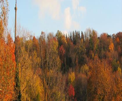
Fall transforms Mississauga's hiking scene with spectacular autumn colors from late September through October.
The deciduous forests along the Credit Valley and Erindale Park showcase brilliant reds, oranges, and yellows, making it the most popular hiking season. Dress in layers as temperatures can vary significantly, and be prepared for wet leaves on trails after morning frost.
Winter
Winter hiking near Mississauga offers crisp, clear days perfect for exploring snow-covered trails from December through March.
Many paved multi-use trails remain accessible for winter walking, while some natural surface trails may require microspikes or snowshoes depending on conditions. Bundle up with insulating layers and waterproof boots, as temperatures regularly drop below freezing with occasional lake-effect snow from Lake Ontario.
The page lists 184 trails. The closest is Mississauga Valley Park (≈ 3 min drive from downtown), the farthest Lynn Valley Trails (≈ 2 hr). Drive times are estimated as the crow flies.
38 trails are within ≈ 30 min of driving, 116 within ≈ 1 hr, and all of them within ≈ 2 hr. These are estimates from downtown.
Among the trails on this page, the most viewed on Let's Go Play Outside are Lions Valley Park, Bond Lake and Eldred King Woodlands.
108 listings give a length, from 1.2 km (Mast Trail) to 170 km (Jimmie Simpson Park). The other 76 do not say.
Yes: among the trails on this page that give a level, 107 easy, 26 moderate and 3 hard. The closest easy ones: Mississauga Valley Park, Riverwood and Sawmill Creek Park.
85 listings say dogs are allowed and 0 say they are not. For the other 99, the rule is not confirmed: check the trail page before you go.
3 listings say access is free, including Riverwood, Greenwood Conservation Area and Huron Natural Area among the closest. For the others, free access is not confirmed: check the trail page.
Free guide: 25 hikes under 2 hours from Montreal
Drive time, distance and level for each one. The ones we go back to ourselves.
Get the guide