


Ready to explore Etobicoke Creek Trail? Here's everything you need to know before you go!
Discover the trail
Trail description
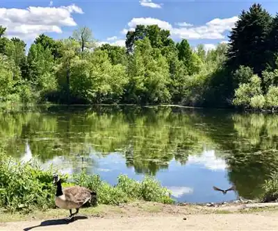
The Etobicoke Creek Trail is one of the more rewarding green corridors in the York, Durham, and Headwaters region — the kind of trail that surprises you with how much nature it packs into an accessible, well-connected route. Following the course of Etobicoke Creek, the trail offers a consistent natural experience anchored by the presence of moving water, with terrain that shifts enough to keep things interesting from start to finish.
At 11 km with 150 m of elevation gain, this is a genuinely easy outing that still feels like a real hike. The estimated 3 hours and 15 minutes gives you enough time to move at a relaxed pace, stop for wildlife, and take in the different environments the trail moves through — without rushing back to the trailhead.
Terrain and Trail Character
The trail sticks close to Etobicoke Creek for most of its length, and that proximity shapes the whole experience. You're rarely far from the sound of water, and the creek itself changes character as you move along — shallow and rocky in some stretches, slower and deeper in others, with quiet pools that mirror the tree canopy above. These variations create distinct pockets of habitat that make each section feel a little different from the last.
The path alternates between dense hardwood forest and more open meadow sections. In the forested stretches, the canopy closes overhead and the temperature drops noticeably — these are the shadier, cooler parts of the hike, with a forest floor that shifts dramatically with the seasons. The meadow sections open things up, giving you wider sightlines across the landscape and better views of the creek as it winds through grassy terrain.
The 150 m of elevation change is spread out enough that you won't feel it as a sustained climb — it's more of a rolling, gradual variation that adds a bit of texture to the route without making it strenuous. The trail is well-marked and the pathways are maintained, which makes navigation easy even if you're new to the area.
Wildlife Along the Creek
The creek corridor functions as a natural wildlife highway, and the variety of habitats along the trail supports a solid range of species. White-tailed deer are a regular presence, particularly in the early morning and evening hours — you're most likely to spot them near the water or grazing at the edges of the meadow sections. Rabbits are common throughout, and their numbers draw foxes and hawks into the area as well.
Birding is genuinely worthwhile here. The mix of woodland and waterside habitat means you'll encounter different species depending on where you are on the trail. Woodpeckers and nuthatches are typical in the forested sections, while the creek edges attract herons and kingfishers. Spring migration — particularly late April through May — brings additional species through the corridor and makes this one of the better times of year for birders to visit.
Key Points of Interest
Centennial Park stands out as one of the trail's main anchors. Its maintained gardens offer a more structured natural experience that contrasts well with the wilder creek sections, and the park's picnic areas make it a practical spot for families who want to combine hiking with a meal outdoors. Parking and restroom facilities here make it a logical starting point if you're planning a longer outing.
The trail also passes near several heritage sites that connect the natural landscape to the region's settlement history. These spots are worth a short detour, especially if you're hiking with kids — they break up the distance and add some context to the landscape you're moving through.
Multiple access points along the route give you flexibility in how you approach the trail. You can design shorter loops, point-to-point segments, or use the various parks along the way as natural turnaround spots depending on your available time.
Planning Your Visit
The trail is accessible year-round, and each season brings something different to the experience. Spring is particularly strong — wildflowers emerge on the forest floor, the creek runs high with snowmelt, and migrating birds move through in numbers. Fall delivers reliable foliage color in the hardwood sections. Winter quiets the trail considerably and makes for good wildlife tracking in the snow, though some sections can get slippery after freezing rain.
Footwear with some grip and waterproofing is a smart choice regardless of season — the sections closest to the creek can stay muddy after rain, and the forest floor holds moisture longer than the open stretches. Layering is worth thinking about too, since the temperature difference between the shaded forest and the open meadows can be noticeable on warmer days.
Carry enough water for the full 11 km — there are no reliable drinking water sources along the trail itself, and the creek water should not be consumed without treatment. Cell coverage can be inconsistent in the more forested sections, so downloading an offline map before you head out is a reasonable precaution.
The trail sees steady use, particularly on weekends, so an early start gives you a quieter experience and better odds of wildlife sightings before foot traffic picks up on the path.
Recommended gear for this trail
As an Amazon Associate I earn from qualifying purchases.


Ready to go?
Everything you need to know before you goStarting Point
The etobicoke creek trail is located in the heart of Etobicoke, Ontario. The easiest way to get there is to take the Bloor-Danforth subway line to Kipling Station and then take the #112 bus south to the trailhead.
When?
How much?
As an Amazon Associate I earn from qualifying purchases.
Affiliate links — LGPO may earn a commission at no extra cost to you.
- Hiking shoes Essential
- → Salomon Elixir Tour Mid WP · 203.38 $
- Layered clothing Essential
- Rain jacket Essential
- Trekking poles
- → Black Diamond Trail Ergo Cork · 69.99 $
- Headlamp
- → Petzl Actik Core 625 · 103.95 $
FAQ - Frequently asked questions
Everything you need to know
25 hikes under 2 hours from Montreal
Distance, elevation, parking and season for each one. The ones we go back to ourselves.
Get the guideSimilar hikes nearby
Discover other trails you might enjoy

Scarborough Bluffs Trail
Greater Toronto Area

Trillium Park
Greater Toronto Area

Balmy Beach Park
Greater Toronto Area
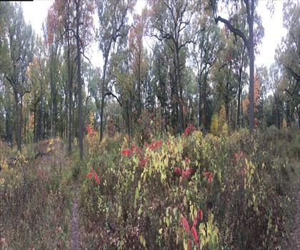
High Park
Greater Toronto Area
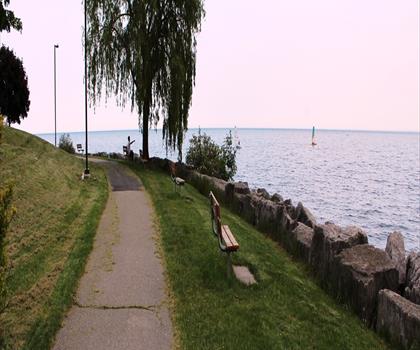
Colonel Samuel Smith Park
Greater Toronto Area
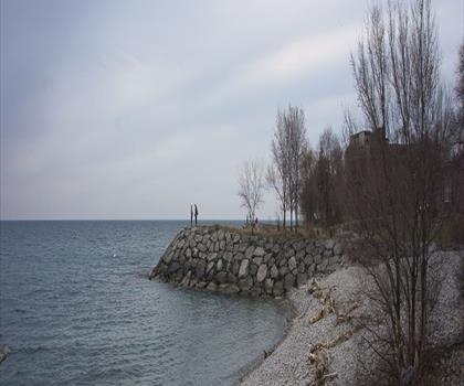
Mimico Waterfront Park
Greater Toronto Area
Hiking near Mississauga
171 trails to explore ~7 km away
We work hard to provide the most up-to-date and error-free data possible. If something seems incorrect, let us know! Your contribution helps the whole community.
Hikers' opinions
Be the first to review!
No hiker has shared their experience yet. Share your impressions and help other hikers!