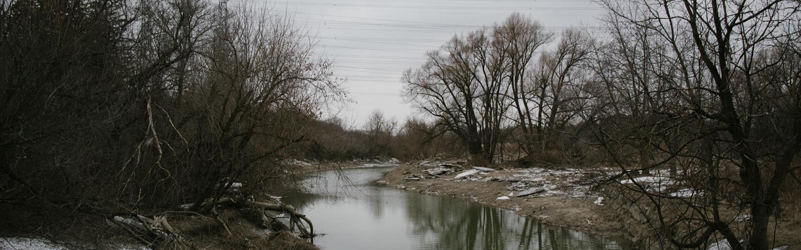
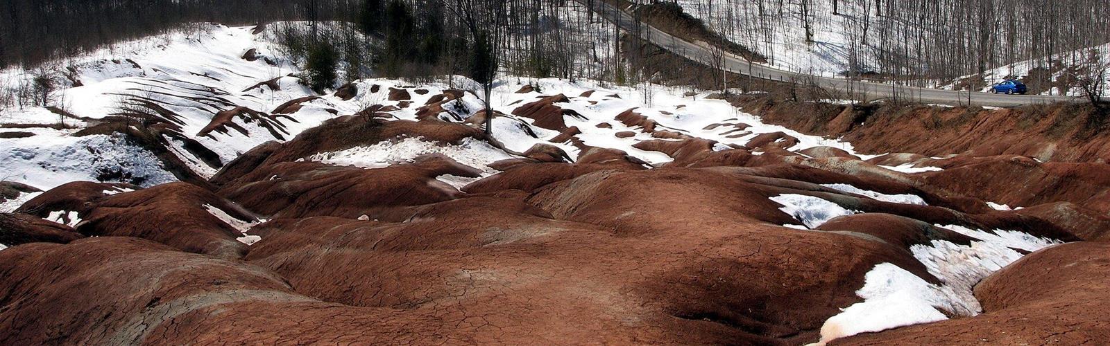
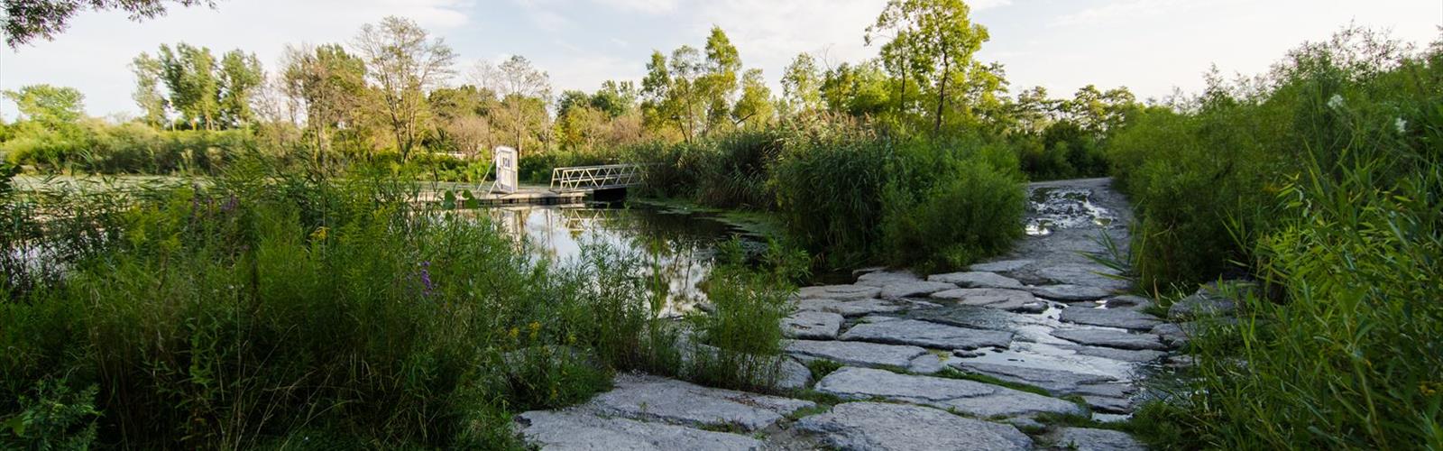
The Greater Toronto Area offers an unexpected treasure trove of hiking opportunities, where urban accessibility meets diverse natural landscapes. From the dramatic cliffs of the Niagara Escarpment to serene lakeshores and dense hardwood forests, this region proves that world-class outdoor adventures await just beyond Canada's largest metropolitan area.
Why Hike in the Greater Toronto Area
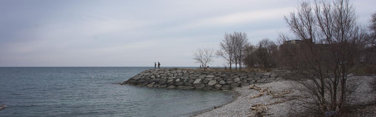
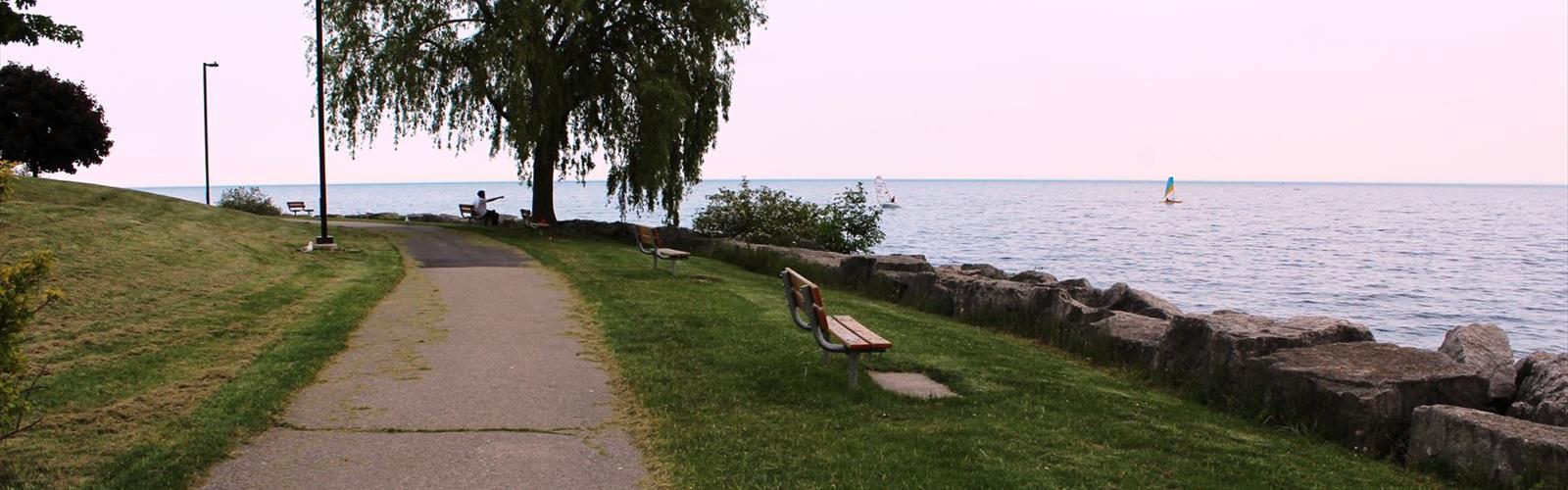
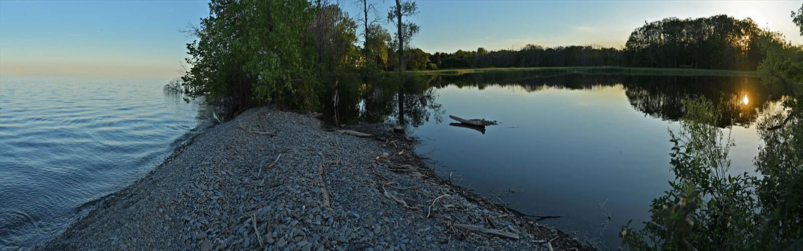
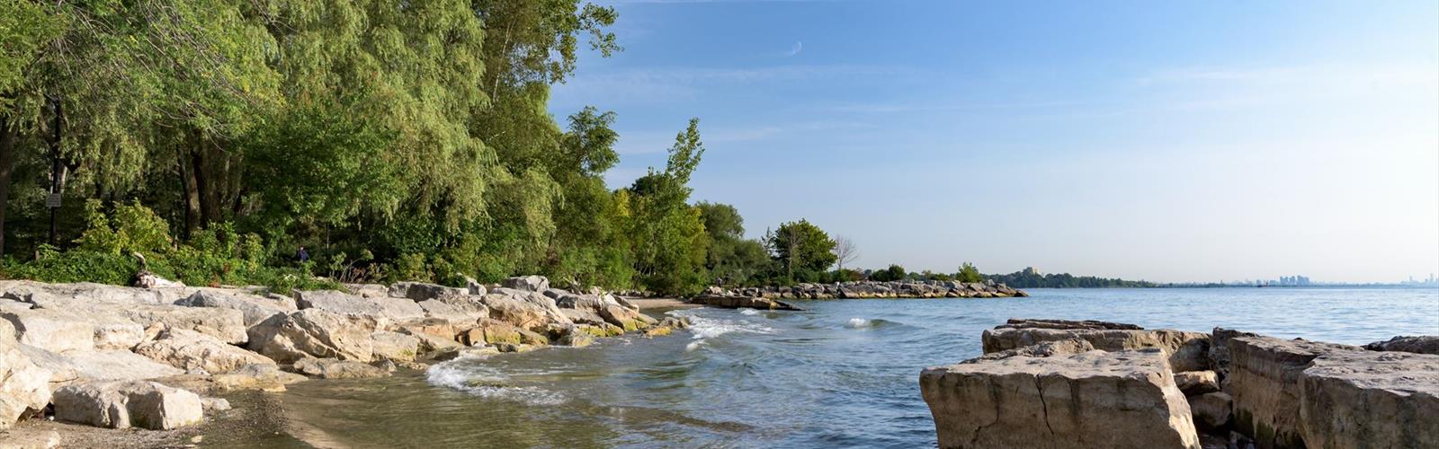
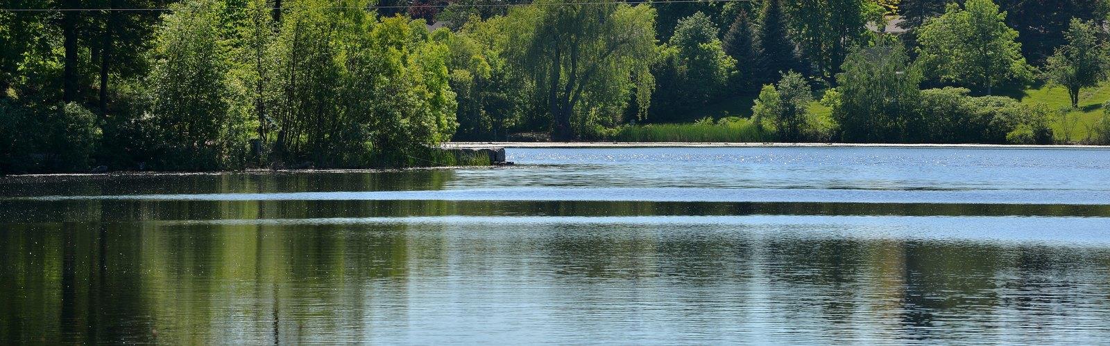
The Greater Toronto Area's hiking scene is defined by remarkable geological diversity, thanks largely to the Niagara Escarpment that cuts through the region. This UNESCO World Biosphere Reserve creates stunning cliff-top vistas, cascading waterfalls, and unique ecosystems that support both Carolinian and boreal forest species. The region's extensive trail network connects pristine conservation areas, provincial parks, and urban green spaces, offering hikers everything from challenging ridge walks to gentle nature strolls along Lake Ontario's shoreline.
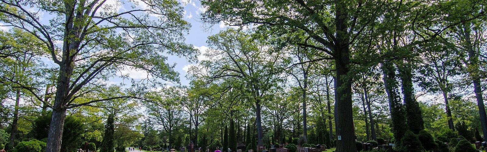
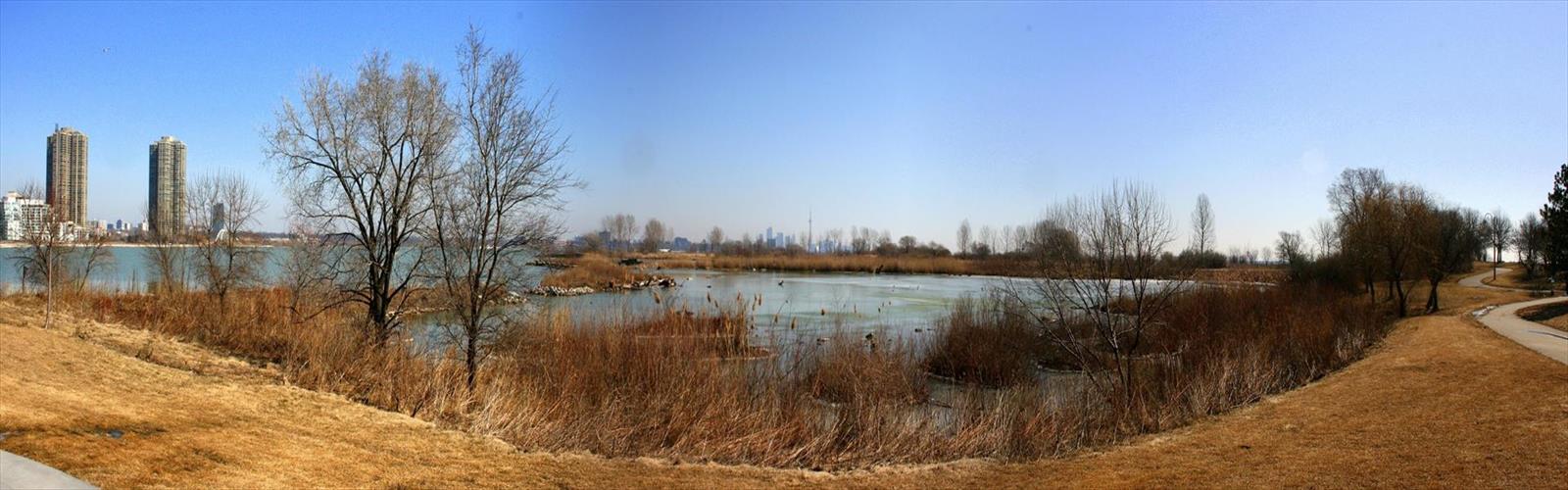
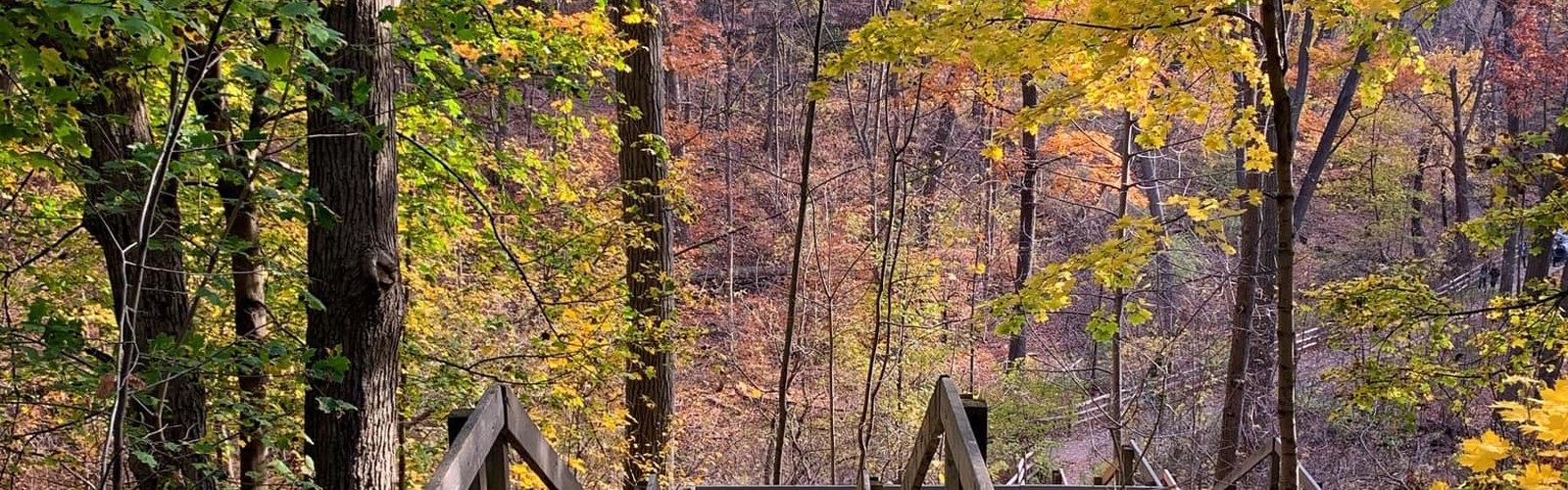
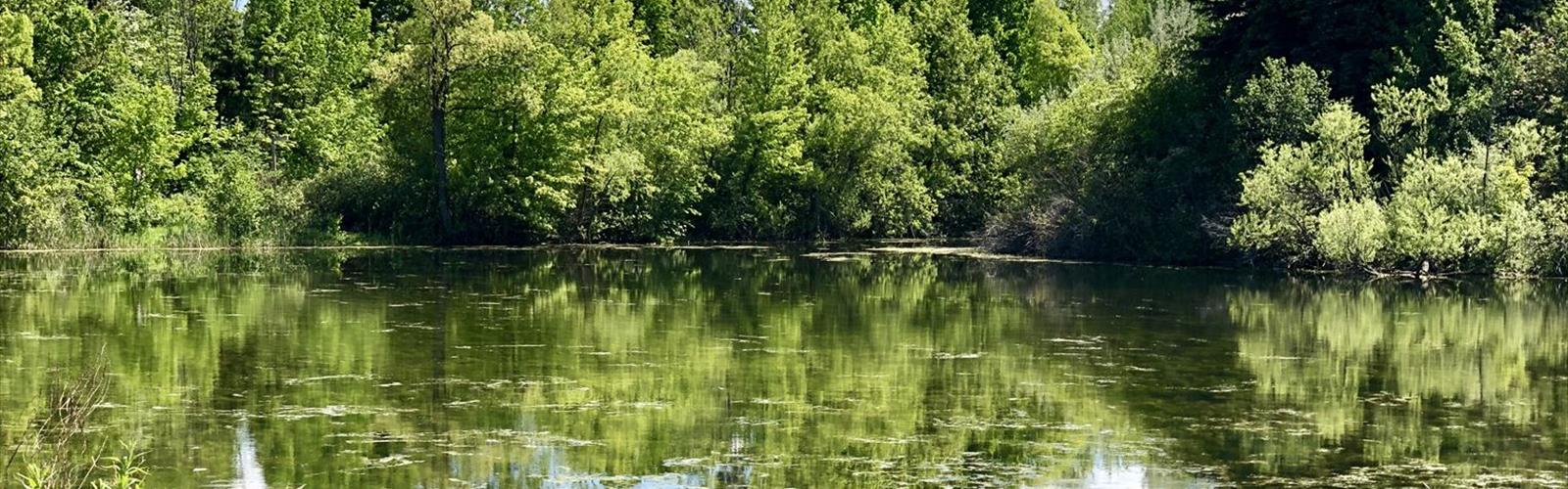
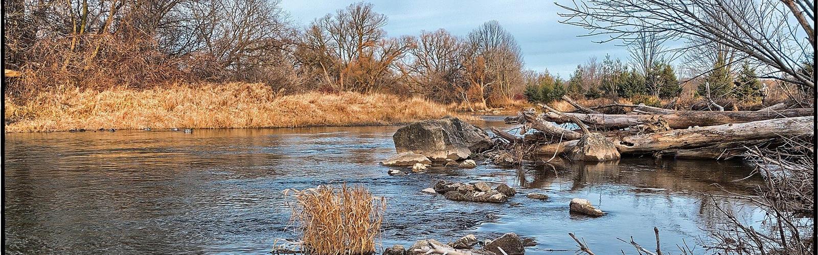
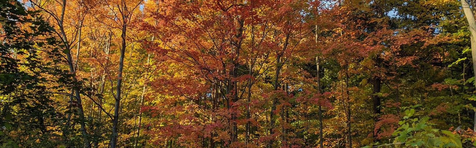
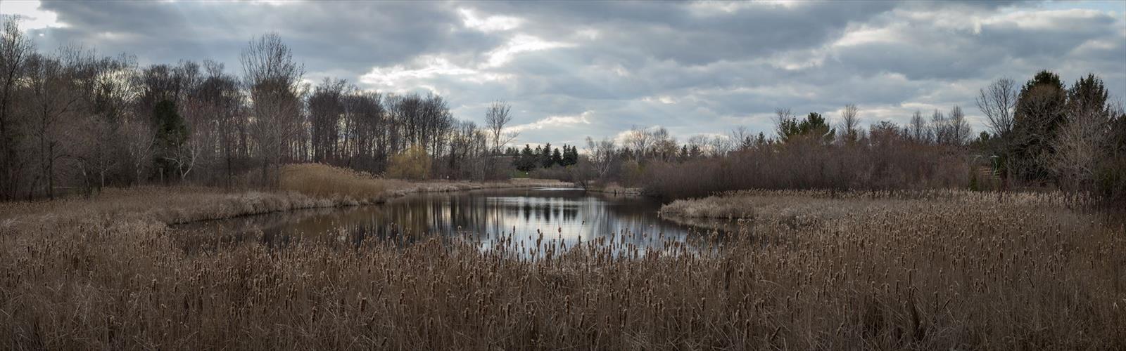
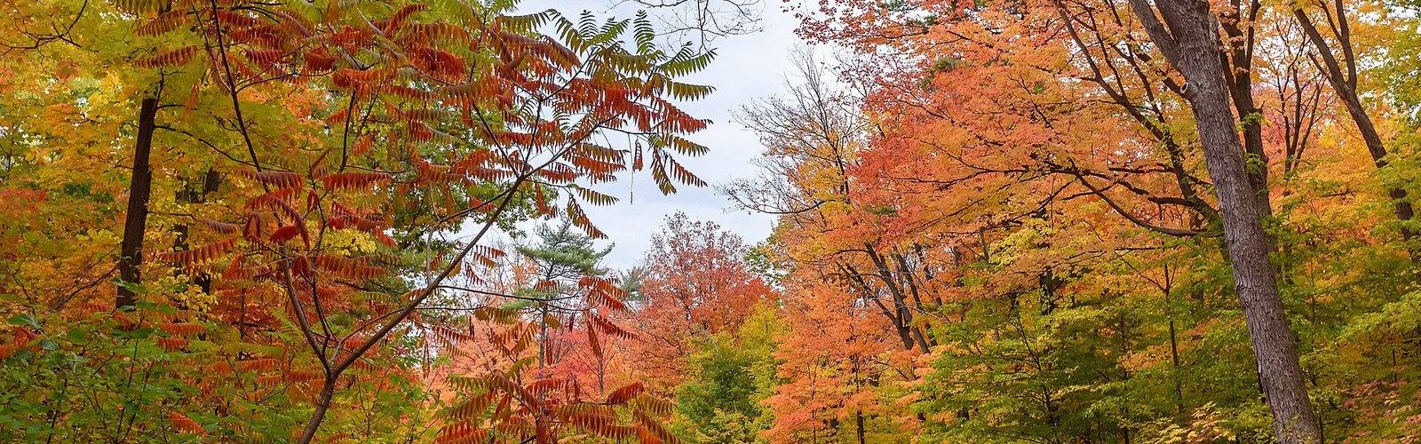
The area's rich biodiversity includes rare Carolinian species at the northern edge of their range, making it a hotspot for nature enthusiasts. Ancient cedar forests, prairie remnants, and wetland habitats provide year-round wildlife viewing opportunities, while the changing seasons paint the landscape in spectacular colors.
Must-Explore Trail Destinations
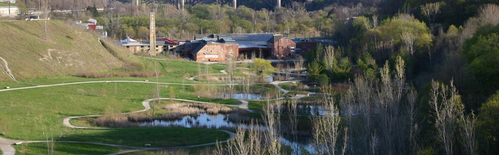
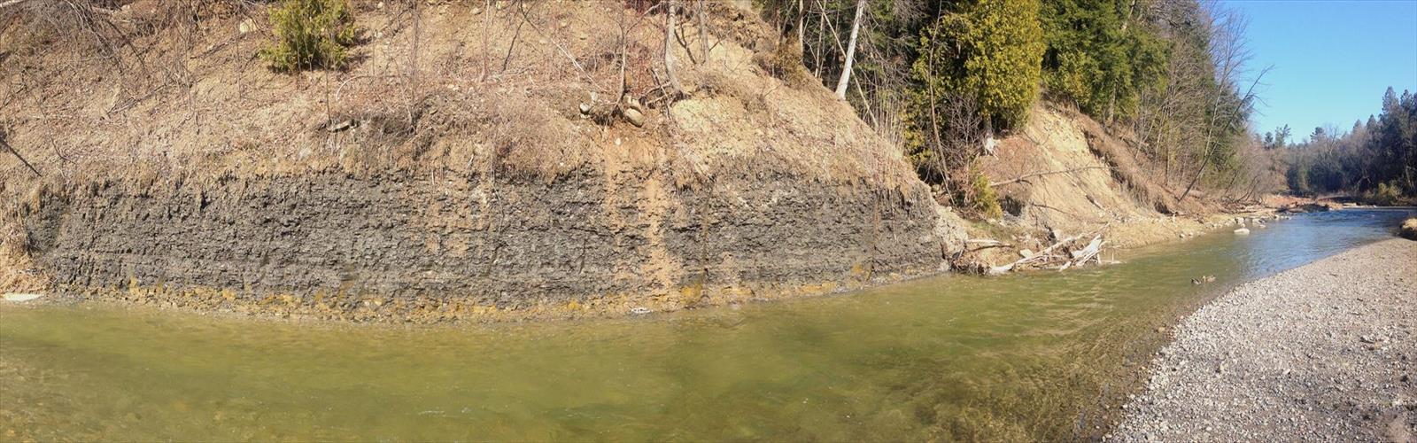
The Bruce Trail system forms the backbone of Greater Toronto Area hiking, offering access to some of Ontario's most spectacular scenery. The Dundas Valley provides a network of interconnected trails through deep ravines and along historic mill sites, perfect for both short walks and full-day adventures.
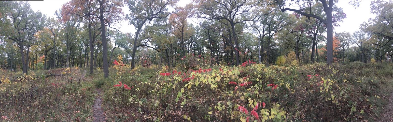
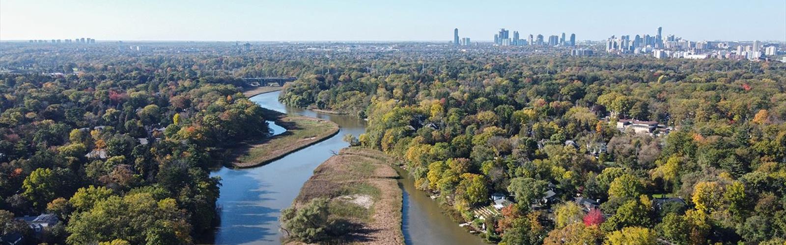
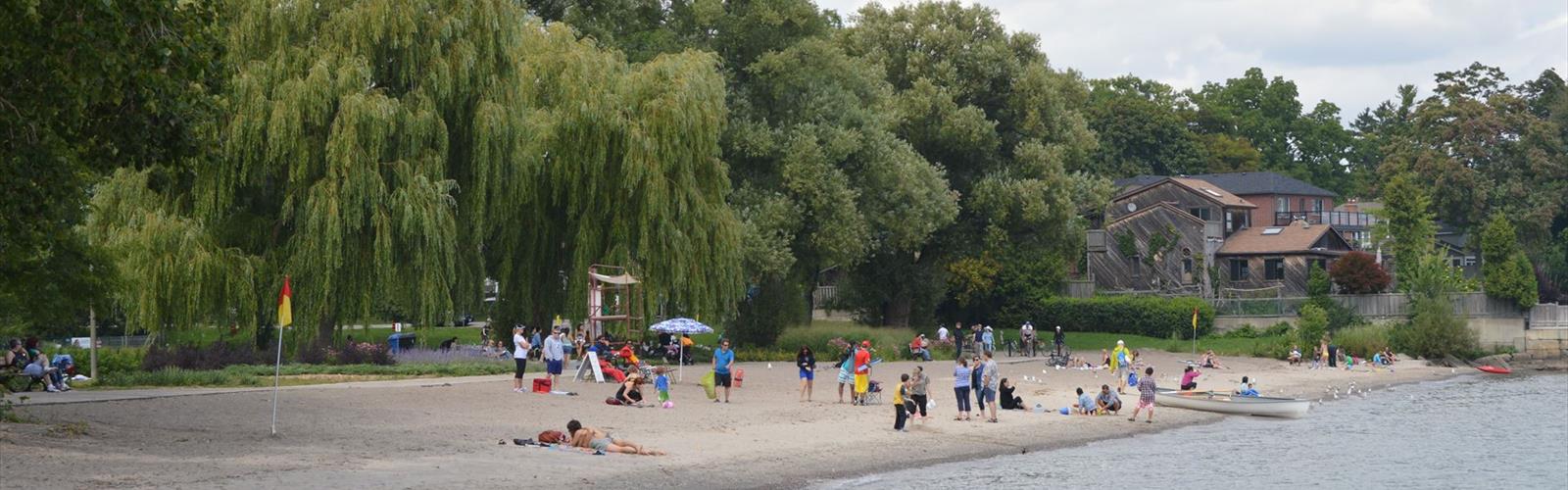
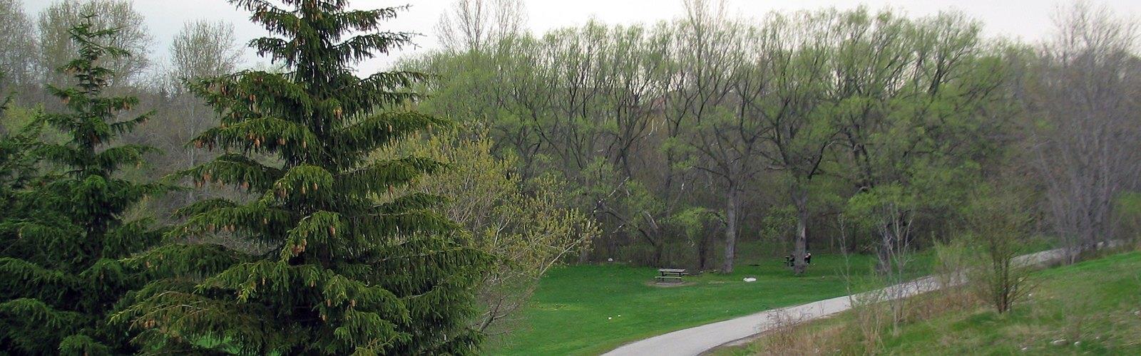
Rouge Valley stands out as an urban wilderness gem, where hikers can explore one of North America's largest urban parks system. The valley's trails wind through diverse habitats from Lake Ontario beaches to oak savannas and maple forests.
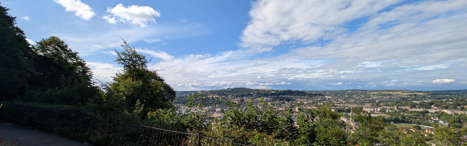
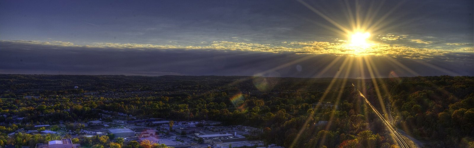
For waterfall enthusiasts, the Caledon area offers numerous trails leading to hidden cascades and scenic overlooks, while the Oak Ridges Moraine provides rolling terrain perfect for longer distance hiking with panoramic views across the region.
Trail Difficulty Options
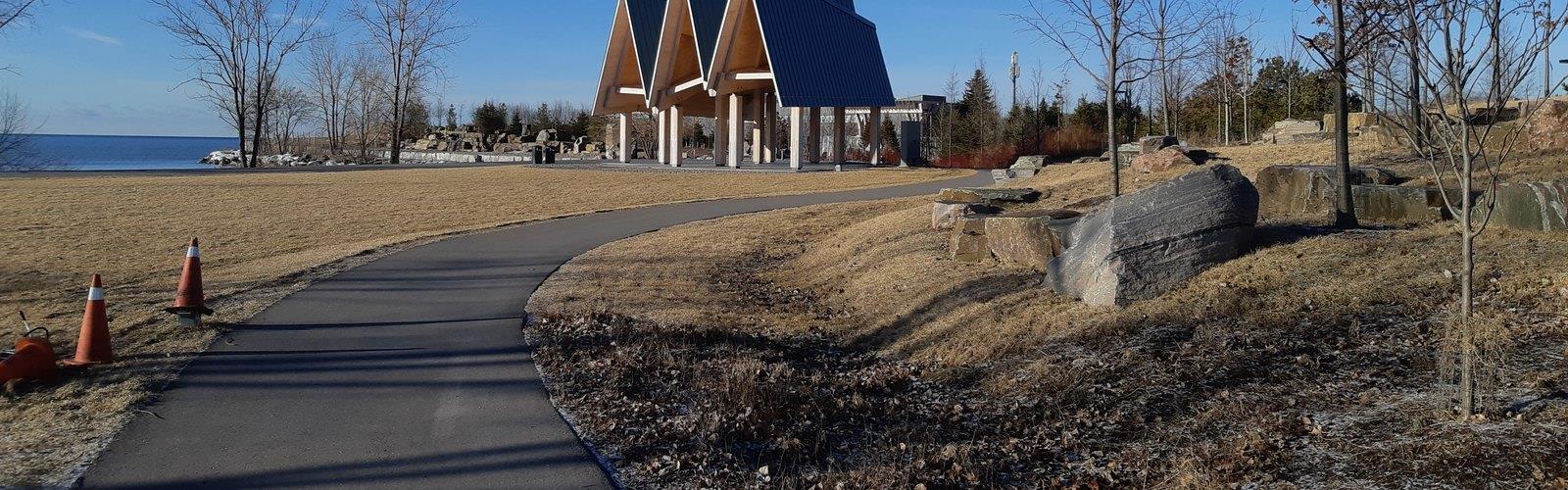
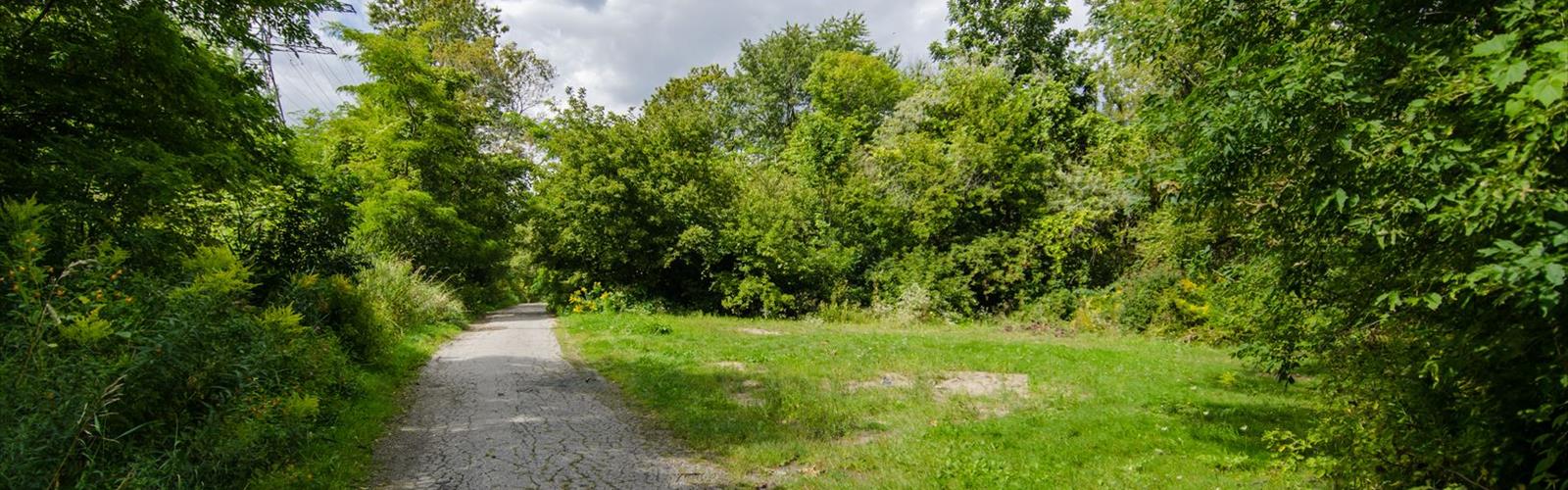
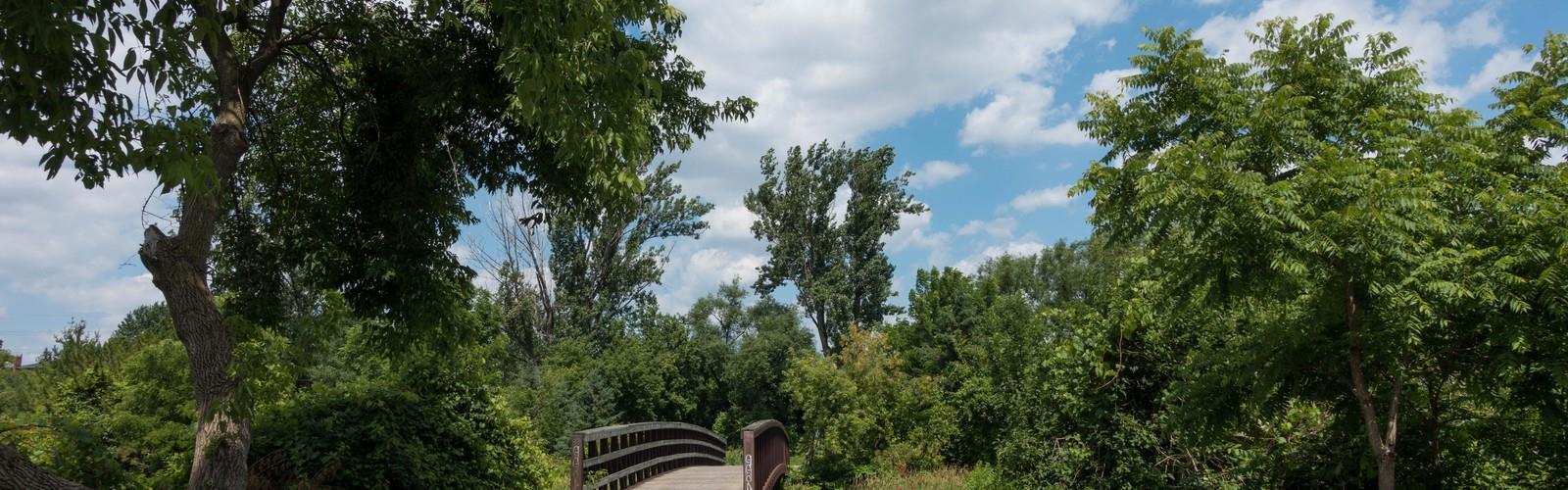
Greater Toronto Area hiking caters to all experience levels, from family-friendly boardwalks through wetland areas to challenging scrambles along the Niagara Escarpment's rocky outcrops. The region's trail network includes easy lakefront paths ideal for beginners, moderate forest loops perfect for weekend warriors, and demanding ridge trails that test experienced hikers' endurance and navigation skills.
Beyond Hiking Adventures
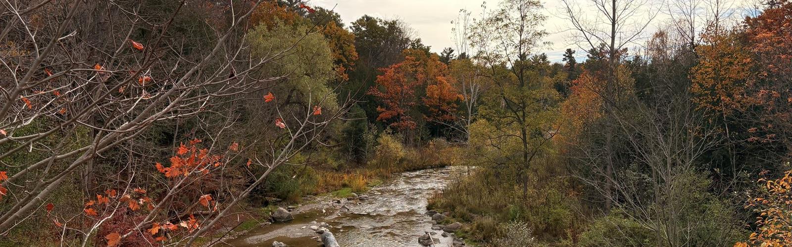
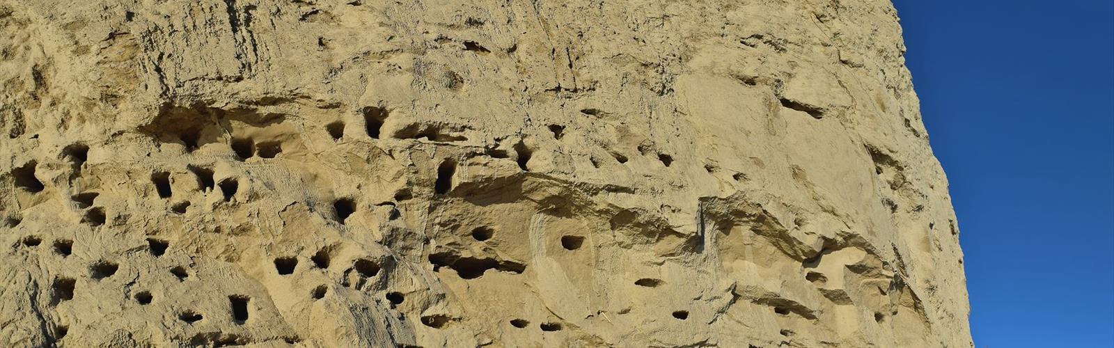
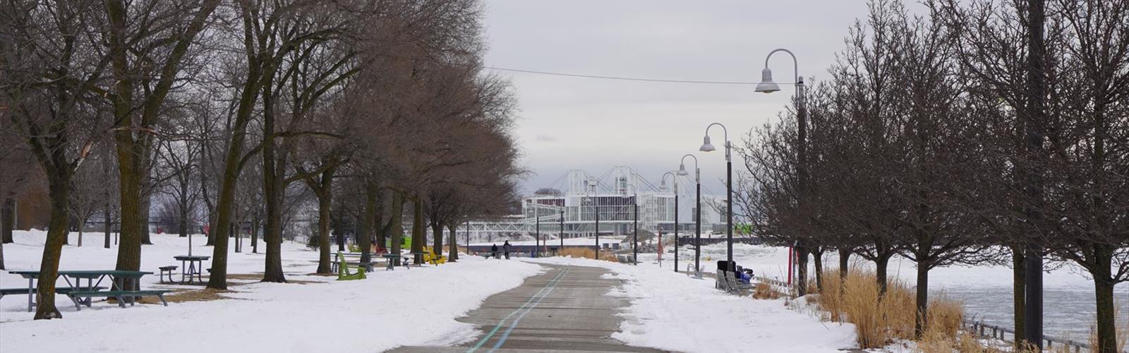
The Greater Toronto Area's outdoor recreation extends far beyond hiking trails. Rock climbing opportunities abound along the escarpment's limestone cliffs, while numerous lakes and rivers provide excellent canoeing and kayaking experiences. Winter transforms the landscape into a playground for snowshoeing and cross-country skiing, with many trail systems maintaining winter access.
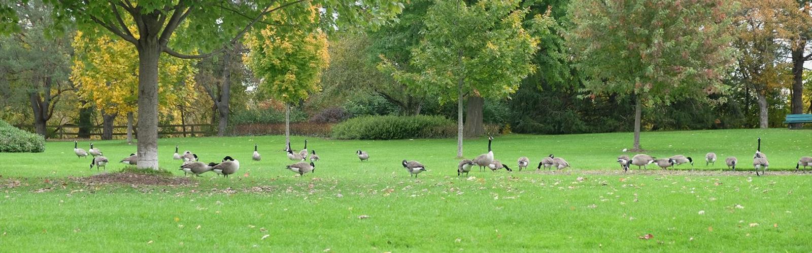
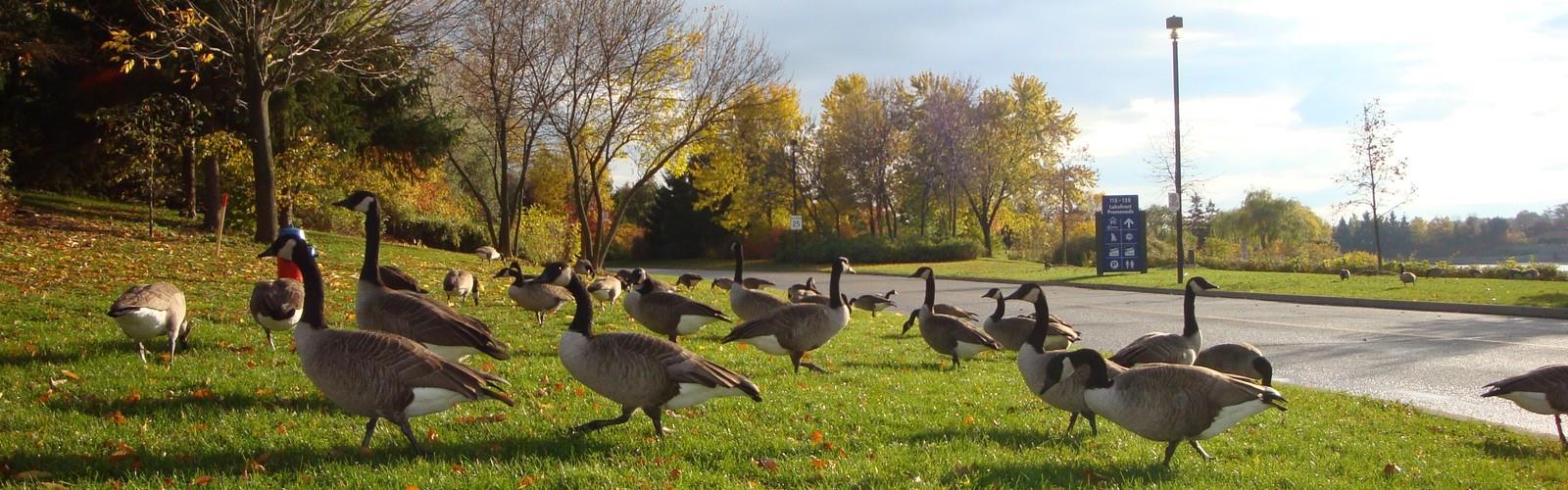
Birdwatching thrives year-round, particularly during spring and fall migrations when the region serves as a crucial stopover point. Photography enthusiasts find endless subjects, from intimate forest scenes to sweeping valley vistas.
Planning Your Greater Toronto Area Adventure
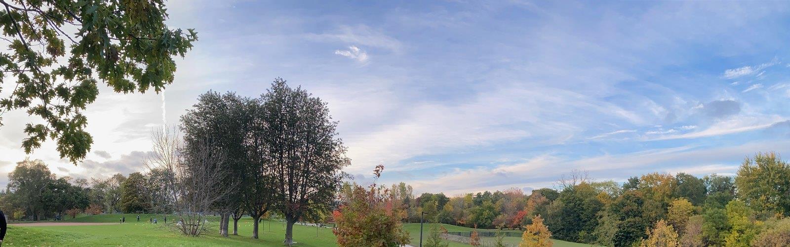
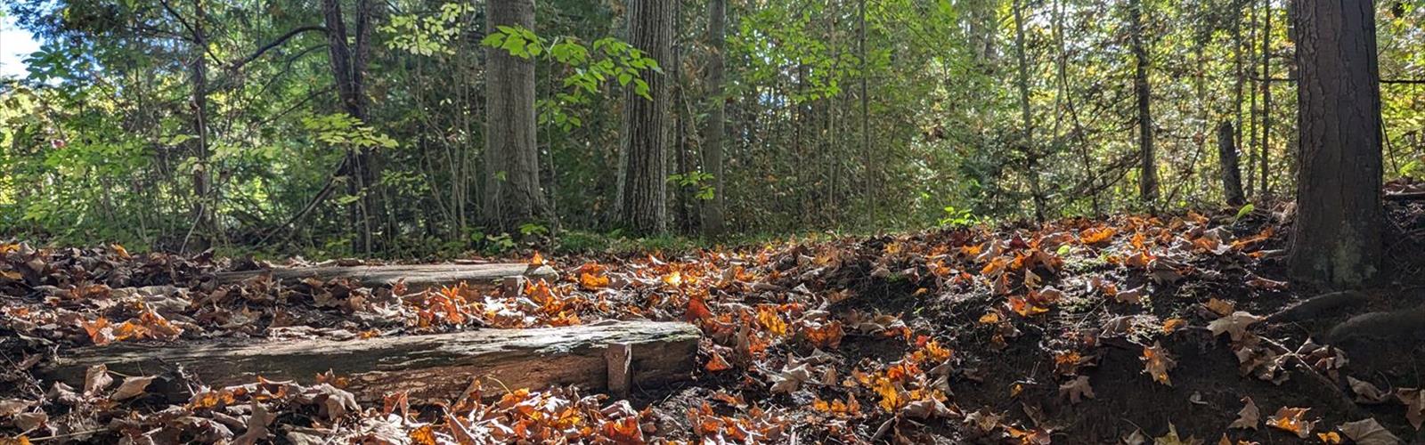
Spring through fall offers the best hiking conditions, with peak foliage typically occurring in early to mid-October. Summer provides lush green canopies and wildflower displays, while winter hiking requires appropriate footwear for potentially icy conditions.
Most trailheads are accessible by public transit or short drives from downtown Toronto. Standard hiking gear suffices for most trails, though sturdy boots are recommended for escarpment terrain. Always check conservation area websites for current trail conditions and any seasonal restrictions.