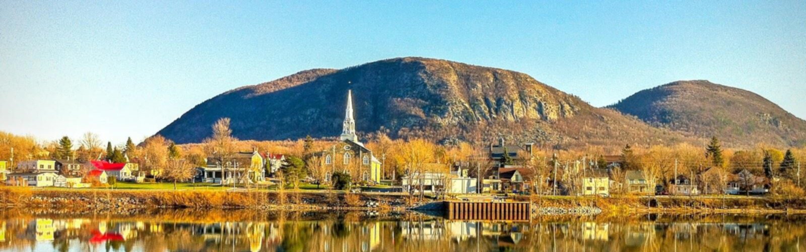
Bourgogne-Franche-Comté stands as one of France's most captivating hiking destinations, where ancient vineyards meet pristine wilderness across 47,784 square kilometers of diverse terrain. This remarkable region seamlessly blends the rolling hills of Burgundy's wine country with the dramatic peaks of the Jura Mountains, offering outdoor enthusiasts an extraordinary playground of natural wonders. From gentle vineyard walks to challenging alpine ascents, the region's varied landscapes promise unforgettable adventures for every type of hiker.
Major Hiking Regions
The Jura Mountains form the region's eastern backbone, featuring limestone plateaus, deep gorges, and pristine forests that stretch along the Swiss border. This mountainous terrain offers some of France's most spectacular hiking, with elevations reaching over 1,700 meters at Crêt de la Neige. The Morvan Regional Natural Park provides a gentler alternative in the west, where ancient granite hills are cloaked in dense forests and dotted with crystal-clear lakes.
The Côte-d'Or presents a unique hiking experience through world-renowned vineyard landscapes, where trails wind between prestigious wine estates and medieval villages. Meanwhile, the Vosges du Sud in the Territoire de Belfort offers dramatic ballons (rounded peaks) and panoramic vistas extending to the Alps on clear days.
Emblematic Trails
The region boasts numerous sentiers Bourgogne-Franche-Comté that showcase its natural diversity. The legendary GR5 crosses the entire region from north to south, offering hikers a complete traverse of varied ecosystems. The Tour du Morvan provides an excellent multi-day circuit through the park's most beautiful landscapes.
For alpine enthusiasts, the Haute Route du Jura delivers challenging mountain hiking with spectacular ridge walks and panoramic views. The Sentier des Vignes near Beaune offers a gentler but equally rewarding experience through Burgundy's most famous wine appellations. The Circuit des Lacs du Jura combines moderate hiking with stunning lakeside scenery, while the Ballon d'Alsace trail provides accessible summit hiking with 360-degree mountain views.
Diversity of Difficulty Levels
The meilleurs sentiers Bourgogne-Franche-Comté cater to all skill levels and fitness capabilities. Beginners can enjoy leisurely walks through vineyard country or around the region's numerous lakes, with well-marked paths and minimal elevation gain. Intermediate hikers will find countless options in the Morvan's rolling hills and the Jura's plateau regions, where moderate climbs reward with stunning vistas.
Advanced hikers and mountaineers can challenge themselves on the Jura's highest peaks, technical ridge walks, and demanding multi-day traverses. The region's extensive trail network ensures that families, solo adventurers, and experienced mountaineers all find their perfect hiking experience.
Four-Season Outdoor Activities
Plein air Bourgogne-Franche-Comté extends far beyond traditional hiking. Summer brings opportunities for trail running, mountain biking, and rock climbing in the Jura's limestone cliffs. The region's numerous lakes and rivers provide excellent canoeing and fishing opportunities.
Winter transforms the landscape into a Nordic paradise, with the Jura Mountains becoming one of France's premier cross-country skiing destinations. Snowshoeing trails wind through snow-laden forests, while some higher elevation hiking trails remain accessible to properly equipped winter adventurers.
Geography and Natural Heritage
The region's geological diversity creates remarkable biodiversity, from the limestone karst landscapes of the Jura with their characteristic reculées (blind valleys) to the ancient granite formations of the Morvan. Dense forests of spruce, fir, and beech harbor wildlife including deer, wild boar, and lynx, while the region's wetlands support diverse bird populations.
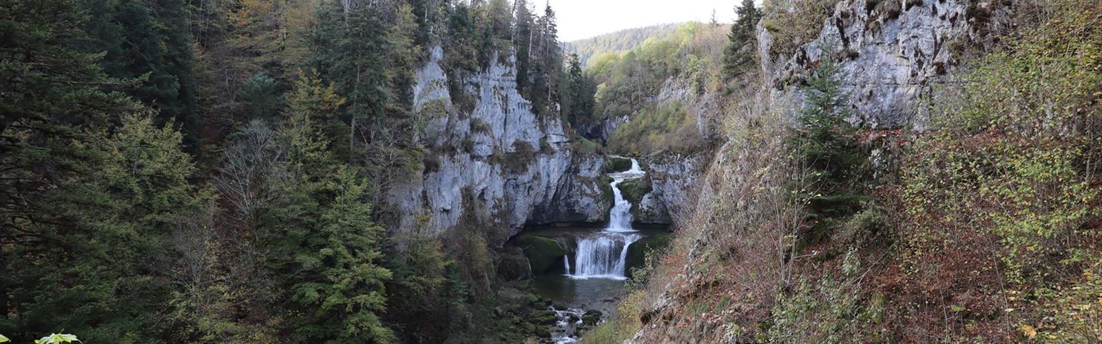
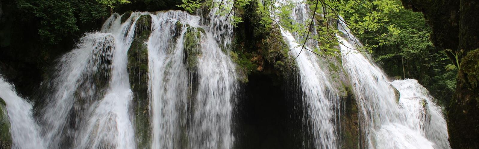
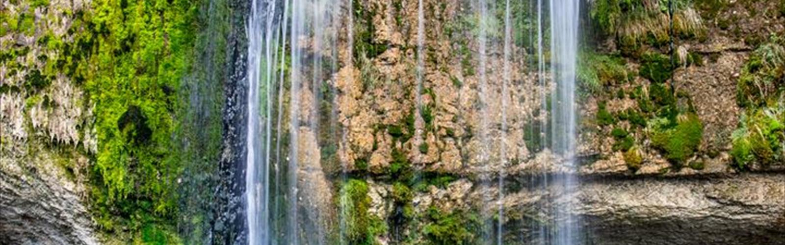
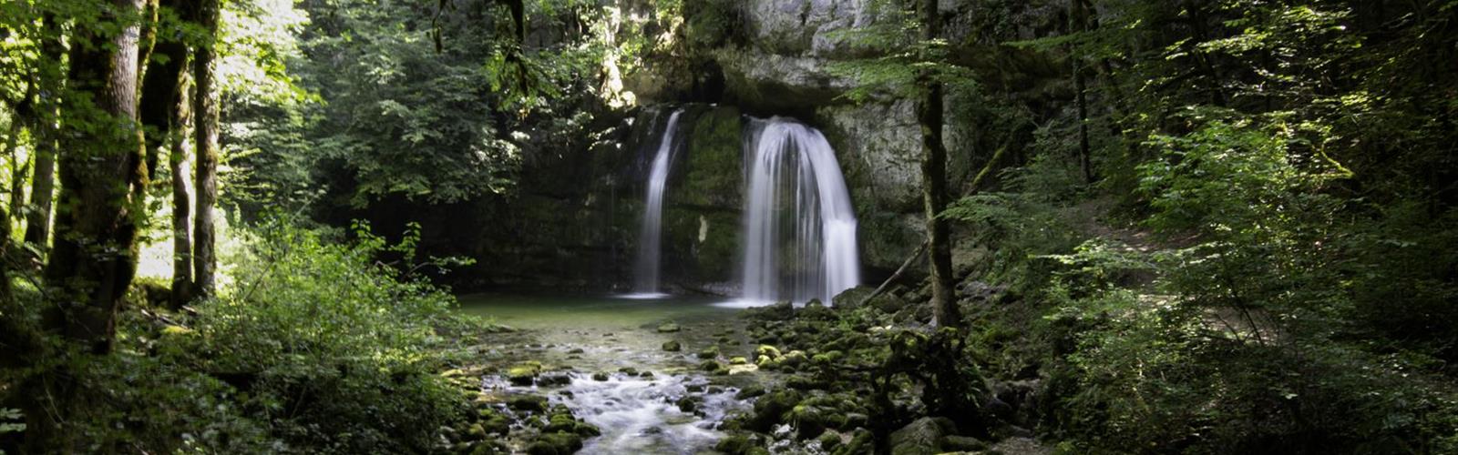
The Jura's high plateaus feature unique ecosystems with alpine flora, while lower elevations showcase traditional bocage landscapes of hedgerows and meadows. Numerous waterfalls, including the spectacular Saut du Doubs, add dramatic elements to the hiking experience.
Planning Your Visit
The optimal hiking season extends from May through October, with summer offering the most reliable weather for high-altitude adventures. Spring brings wildflower blooms in lower elevations, while autumn paints the forests in spectacular colors and coincides with the grape harvest season.
The region is easily accessible from major cities including Lyon, Dijon, and Besançon, with excellent train connections and well-maintained road networks. Accommodation ranges from mountain refuges and camping areas to charming gîtes and luxury hotels in wine country. The Morvan and Jura regional natural parks provide excellent visitor information and trail maintenance, ensuring safe and enjoyable hiking experiences throughout this magnificent region.