Drive ≈ 8 min
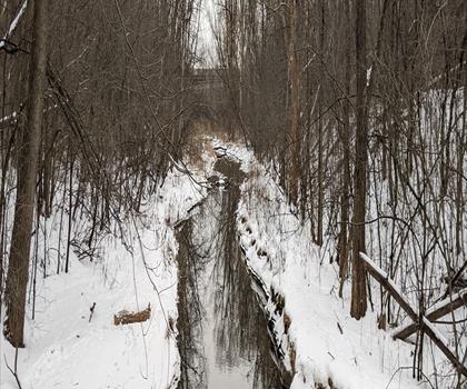
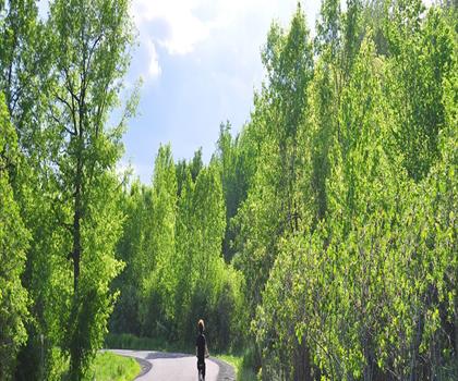
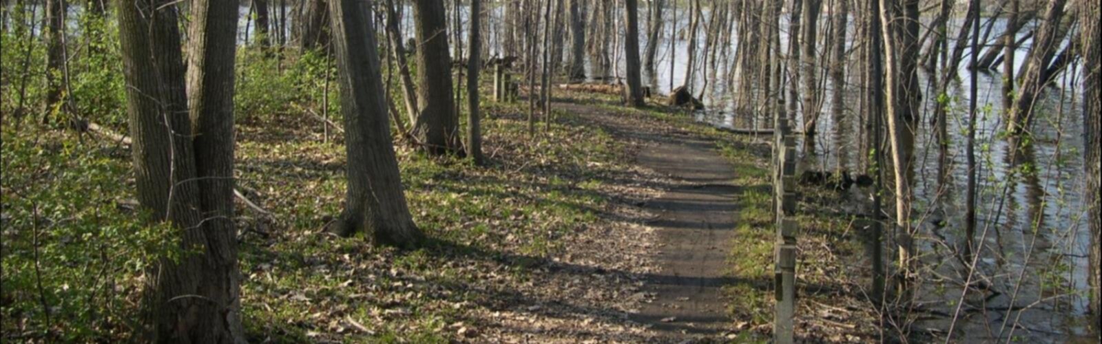
Parc Bernard-Landry, formerly Parc des Prairies, is a green space of 30 hectares (according to Radio-Canada, 2019) in…
Dog rules: check the trail page
See the trailor pick your starting city — the number is how many trails we list.
Pick your drive. Save time for the trail.
107 trails within 2 hr of Laval by car. Compare the drive, the walking time and the level to choose your next outing.
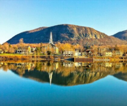
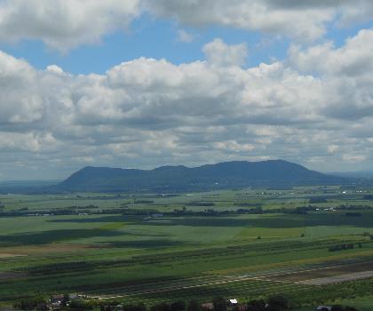
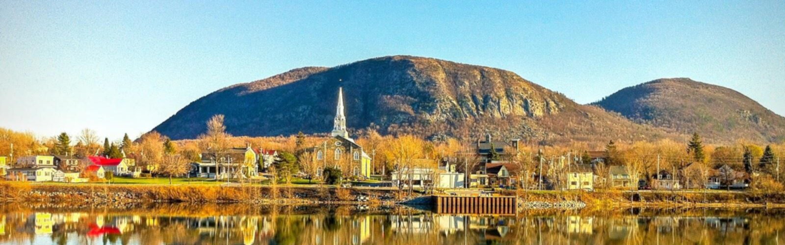
Photo : Mont St Hilaire
Drive times are estimates (≈) from the city centre, as the crow flies. Walking time comes from the trail page when it has one; a walking filter hides trails without a duration.
Drive ≈ 8 min
Parc Bernard-Landry, formerly Parc des Prairies, is a green space of 30 hectares (according to Radio-Canada, 2019) in…
Dog rules: check the trail page
See the trailDrive ≈ 53 min Walk 1 hr 45 min
Gault Nature Reserve, owned by McGill University, protects more than 1,000 hectares on Mont Saint-Hilaire (414 m), about 40 km… Moderate trail of 5.4 km, 281 m of climb.
No dogs
See the trailDrive ≈ 1 hr 1 min Walk 1 hr 30 min
Nestled in Lanaudière, Quebec, this nature sanctuary features 150 m of elevation gain through well-maintained forest trails…
Dog rules: check the trail page
See the trailLaval
Drive ≈ 5 min Walk 1 hr 15 min
Level: Easy Dogs allowed Public transit listed
Laurentides
Drive ≈ 12 min Walk 1 hr
Level: Easy
Montréal
Drive ≈ 14 min Walk 45 min
Level: Easy Dogs allowed Public transit checked
Montréal
Drive ≈ 16 min Walk 1 hr 15 min
Level: Easy Public transit checked
Montréal
Drive ≈ 20 min Walk 45 min
Level: Easy Dogs allowed Public transit checked
Montréal
Drive ≈ 21 min Walk 1 hr 30 min
Level: Moderate Dogs allowed Public transit checked
Lanaudière
Drive ≈ 21 min Walk 2 hr 45 min
Level: Easy
Laurentides
Drive ≈ 21 min Walk 2 hr 30 min
Level: Moderate Dogs allowed
Montérégie
Drive ≈ 36 min Walk 1 hr 30 min
Level: Easy Public transit listed
Laurentides
Drive ≈ 1 hr 15 min Walk 1 hr 15 min
Level: Moderate Dogs allowed
Laurentides
Drive ≈ 1 hr 18 min Walk 10 hr 30 min
Level: Easy
Lanaudière
Drive ≈ 1 hr 21 min Walk 4 hr 15 min
Level: Moderate Dogs allowed
Laurentides
Drive ≈ 1 hr 30 min Walk 2 hr 15 min
Level: Moderate Dogs allowed
Laurentides
Drive ≈ 1 hr 33 min Walk 4 hr 30 min
Level: Hard Dogs allowed
Eastern Townships
Drive ≈ 1 hr 40 min Walk 2 hr 30 min
Level: Easy
Laurentides
Drive ≈ 1 hr 44 min Walk 5 hr 30 min
Level: Moderate Dogs allowed
Laurentides
Drive ≈ 1 hr 46 min Walk 3 hr 45 min
Level: Hard Dogs allowed
Eastern Townships
Drive ≈ 1 hr 51 min Walk 2 hr 15 min
Level: Moderate Dogs allowed
Laurentides
Drive ≈ 1 hr 54 min Walk 1 hr 30 min
Level: Moderate Dogs allowed
Lanaudière
Drive ≈ 1 hr 55 min Walk 6 hr 30 min
Level: Easy Dogs allowed
Ottawa and Countryside Ontario
Drive ≈ 1 hr 10 min Walk 1 hr 45 min
Level: Easy Dogs allowed
Adirondacks New York
Drive ≈ 1 hr 41 min Walk 1 hr 15 min
Level: Easy
No trail matches these filters. Widen the drive or remove a filter.
Think about the way back, the breaks and the parking.
Opening hours, parking and access conditions can change with the season.
Changing weather can make some trails harder.
Match the length and the level to your group and the time you have.
Bus 11, stop Remembrance / du Chalet (Belvédère Kondiaronk), 1 min walk (0 m), season to be confirmed. Return: stop Camillien-Houde / Remembrance.
Bus 711, stop Remembrance / du Chalet (Belvédère Kondiaronk), 1 min walk (0 m), weekends only (Runs on weekends and public holidays only.). Return: stop Camillien-Houde / Remembrance.
Checked on October 23, 2026. Check schedules and connections before you go.
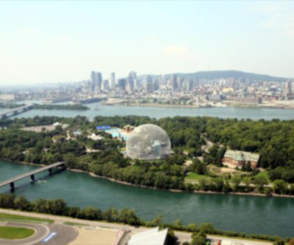
See the trail pageMetro (Ligne 4 - Jaune), station Station Jean-Drapeau, 1 min walk (0 m), season to be confirmed.
Bus 777, stop Station Jean-Drapeau, 2 min walk (111 m), season to be confirmed.
Checked on October 23, 2026. Check schedules and connections before you go.
See the trail pageBus 20, stop des Régrattiers / Paul-Boutet, 1 min walk (1 m), season to be confirmed.
Bus 45, stop Papineau / Barnabé-Larocque, 17 min walk (1 262 m), season to be confirmed.
Checked on October 23, 2026. Check schedules and connections before you go.
See the trail pageParc de la Promenade-Bellerive
Bus 185, stop Bellerive / Mercier, 1 min walk (7 m), season to be confirmed.
Bus 22, stop Notre-Dame / Pierre-Tétreault, 7 min walk (487 m), season to be confirmed. Return: stop Notre-Dame / Des Ormeaux.
Checked on October 23, 2026. Check schedules and connections before you go.
See the trail pageBus 20, stop des Prairies / du Crochet, 1 min walk (15 m), season to be confirmed.
Bus 24, stop Cartier / Ampère, 8 min walk (597 m), season to be confirmed.
Checked on October 23, 2026. Check schedules and connections before you go.
See the trail pageBus 33, stop Langelier / Bélanger, 1 min walk (31 m), season to be confirmed.
Bus 141, stop Bélanger / Langelier, 1 min walk (49 m), season to be confirmed.
Checked on October 23, 2026. Check schedules and connections before you go.
See the trail pageSpring
Spring in Laval brings mild temperatures and muddy trail conditions as snow melts from March to May.
This is an excellent time to explore riverside trails along the Rivière des Prairies, though waterproof boots are essential due to wet and muddy paths. Start with shorter, well-maintained trails as many backcountry routes may still have snow patches or be inaccessible.
Summer
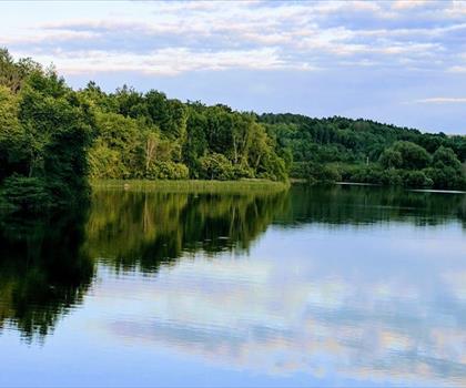
Summer offers the best hiking conditions in Laval with warm temperatures and long daylight hours from June to August.
All 97 nearby trails are typically accessible, making it perfect for longer hikes and exploring the region's diverse forest paths. Bring plenty of water, insect repellent for mosquitoes and blackflies, and start early morning hikes to avoid the heat and afternoon thunderstorms common in Quebec summers.
Fall
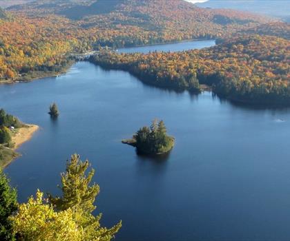
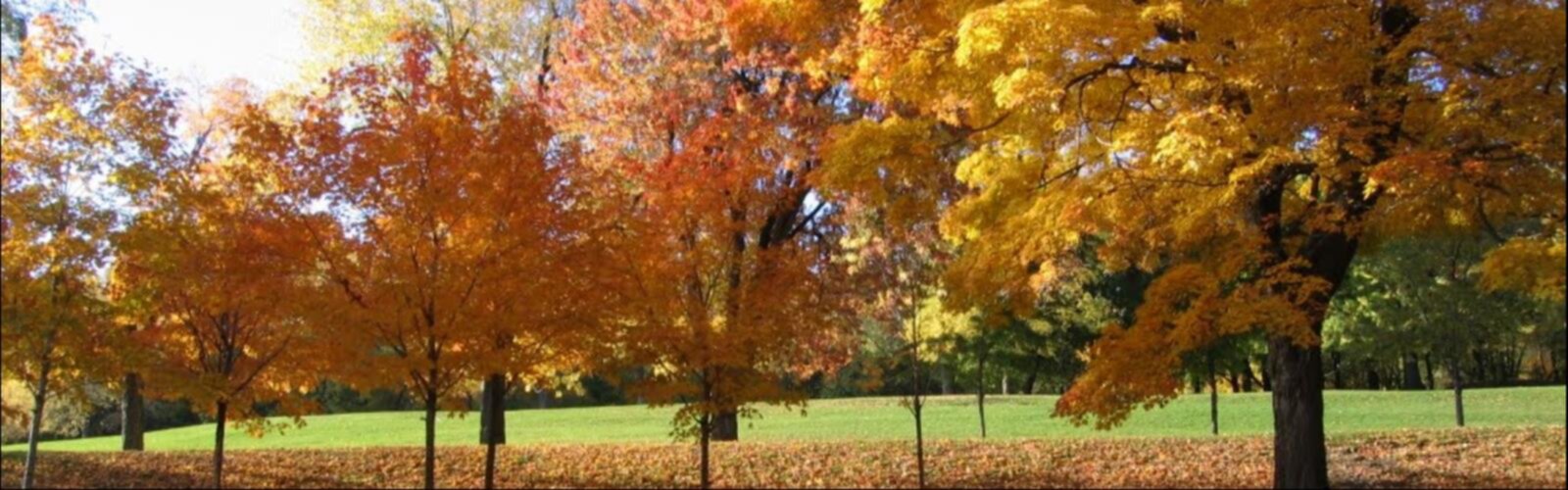
Fall transforms Laval's hiking trails with spectacular autumn foliage from September to November, offering some of the year's most scenic conditions.
The cooler temperatures and reduced insect activity make for comfortable hiking, though trails can become slippery with wet leaves. Layer clothing as temperatures can vary significantly, and consider bringing a headlamp for shorter daylight hours later in the season.
Winter
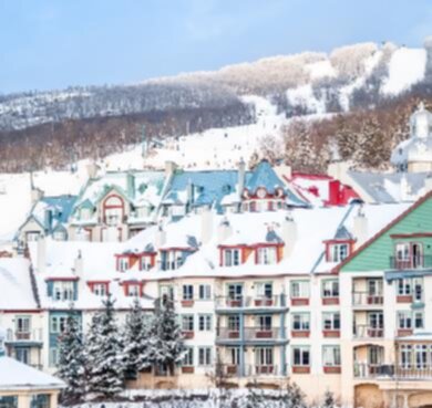
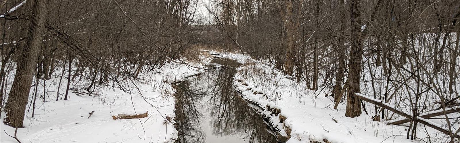
Winter hiking near Laval requires proper preparation with temperatures often dropping well below freezing and significant snowfall from December to March.
Many trails become snowshoeing or cross-country skiing routes, requiring appropriate winter gear including microspikes or snowshoes for traction. Dress in layers, bring extra food and warm drinks, and inform others of your route as daylight hours are limited and weather conditions can change rapidly.
The page lists 107 trails. The closest is Boisé Papineau (≈ 4 min drive from downtown), the farthest Parc Omega (≈ 1 hr 56 min). Drive times are estimated as the crow flies.
35 trails are within ≈ 30 min of driving, 60 within ≈ 1 hr, and all of them within ≈ 2 hr. These are estimates from downtown.
Among the trails on this page, the most viewed on Let's Go Play Outside are Mont St Hilaire, Mont-Saint-Bruno National Park and Mont Yamaska.
84 listings give a length, from 1 km (Parc des Méandres) to 119.8 km (Parc régional de la Forêt Ouareau). The other 23 do not say.
Yes: among the trails on this page that give a level, 54 easy, 21 moderate and 8 hard. The closest easy ones: Boisé Papineau, Centre de la nature de Laval and Parc-nature de l'Île-de-la-Visitation.
48 listings say dogs are allowed and 6 say they are not. For the other 53, the rule is not confirmed: check the trail page before you go.
27 listings say access is free, including Boisé Papineau, Centre de la nature de Laval and Beausejour Park among the closest. For the others, free access is not confirmed: check the trail page.
Free guide: 25 hikes under 2 hours from Montreal
Drive time, distance and level for each one. The ones we go back to ourselves.
Get the guide