
Ready to explore Parc national de la Yamaska? Here's everything you need to know before you go!
Discover the trail
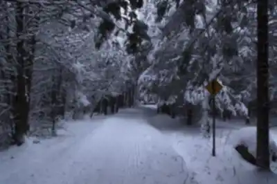
Available trails
| TrailTrails | Dist.Distance | GainElevation | Est. timeEstimated time | Difficulty | GPX |
|---|---|---|---|---|---|
|
Beginner
|
5.8 km | — | Beginner | ||
|
Beginner
|
3.28 km | 57 m | ≈ 49min | Beginner | GPX |
|
Beginner
|
10.3 km | — | Beginner | ||
|
Beginner
|
2.5 km | — | Beginner | ||
|
Intermediate
|
19 km | — | Intermediate |
GPX track: Sépaq (Données Québec) — CC BY 4.0
Trail description
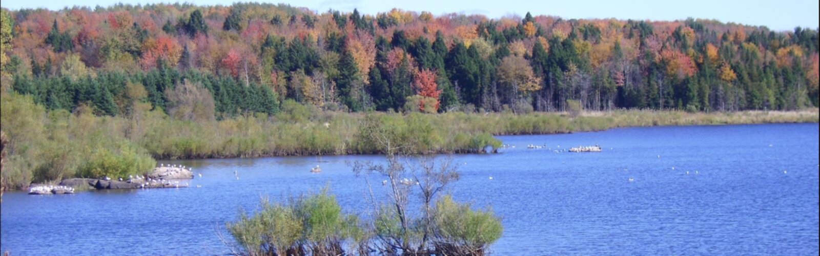
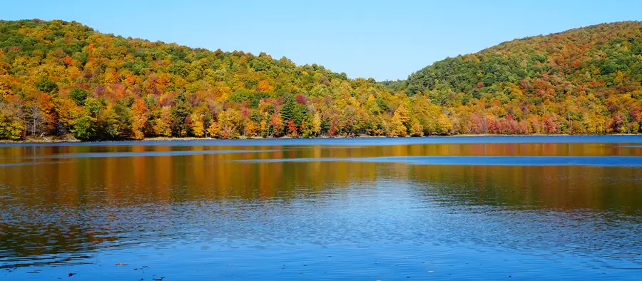
Parc national de la Yamaska is in Roxton Pond, in the Estrie region of Quebec. Created in 1983 to protect its lands and ecosystems, it covers about 13 km² and is known for its wooded landscapes around the Choinière reservoir, an ideal setting for hiking.
Trails and hiking experience
The park has five marked trails that run in loops, 42.5 km in total in summer. Among them, La Forestière (5.5 km, about 1 h 30), La Rivière (2.5 km, about 1 h) and Le Cerf (2.5 km, about 45 min) are rated easy, while the Grand-Tour (18.4 km, about 5 h), which circles the Choinière reservoir, is rated intermediate.
The well-kept trails wind through the wooded landscapes typical of the region and offer views of the Choinière reservoir.
Seasons and planning
The park is open year-round, with the best conditions from spring to fall. The trails are well maintained and marked. Visitor facilities are available, including a beach on the reservoir, camping (including prêt-à-camper), a picnic area where barbecues are allowed, free on-site parking and an electric vehicle charging station.
For rates, rules and reservations, contact the discovery and services centre at 450 776-7182.
FREE GUIDE • PDF
25 hikes under 2 hours from Montreal, with drive time, distance and level.
Get my free guideGuide • checklist • taping videos • Sent by emailNewsletter optional
Photo: Jiaqian AirplaneFan, CC BY 3.0, via Wikimedia Commons
Services and amenities
Recommended gear for this trail
As an Amazon Associate I earn from qualifying purchases.


Ready to go?
Everything you need to know before you goStarting Point
To access the hiking trails, head to the main entrance of the park. The primary trailhead is located at 1780 Boulevard David-Bouchard, Roxton Pond, QC J0E 1Z0. There is a parking lot available at this address for visitors.
When?
How much?
As an Amazon Associate I earn from qualifying purchases.
Affiliate links — LGPO may earn a commission at no extra cost to you.
- Hiking shoes Essential
- → Salomon Elixir Tour Mid WP · 203.38 $
- Layered clothing Essential
- Rain jacket Essential
- Trekking poles
- → Black Diamond Trail Ergo Cork · 69.99 $
- Headlamp
- → Petzl Actik Core 625 · 103.95 $
FAQ - Frequently asked questions
Everything you need to knowOutings near Parc national de la Yamaska
Discover other trails you might enjoy

Centre d'Interprétation de la Nature du Lac Boivin
Eastern Townships · 5.6 km away

Mont Shefford
Eastern Townships · 7.2 km away

Parc Terry-fox
Eastern Townships · 7.4 km away

Sentier parc des montagnards
Eastern Townships · 7.9 km away
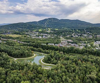
Ski Bromont
Eastern Townships · 14.2 km away

Mount Brome (Bromont)
Eastern Townships · 16.2 km away
Hiking near Sherbrooke
86 trails to explore ~57 km away
We work hard to provide the most up-to-date and error-free data possible. If something seems incorrect, let us know! Your contribution helps the whole community.
Hikers' opinions
Be the first to review!
No hiker has shared their experience yet. Share your impressions and help other hikers!