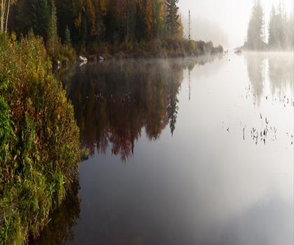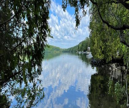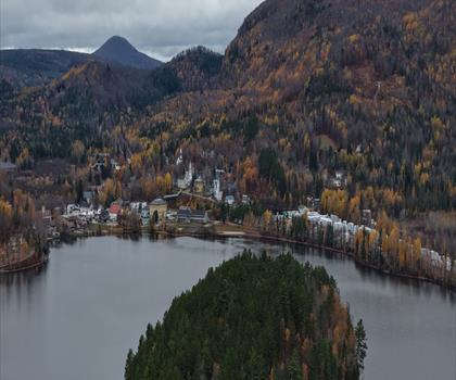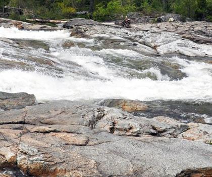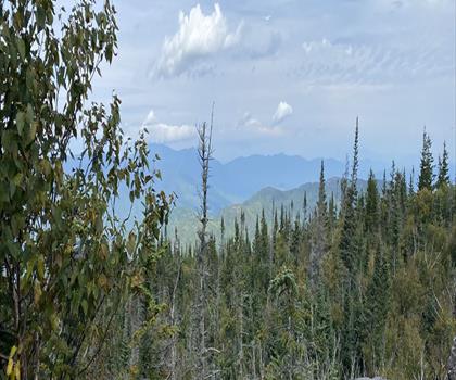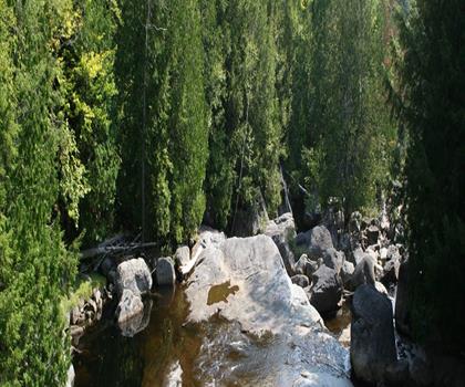
Drive ≈ 28 min Walk 5 hr 30 min
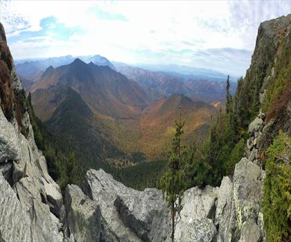
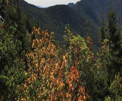
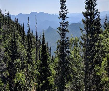
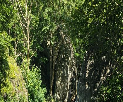
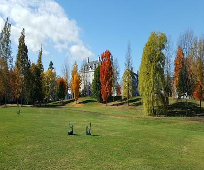
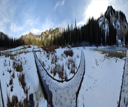
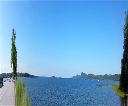
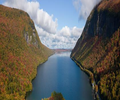
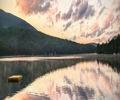
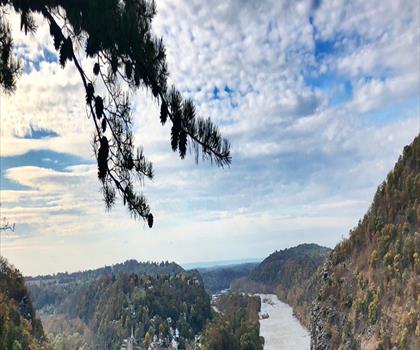
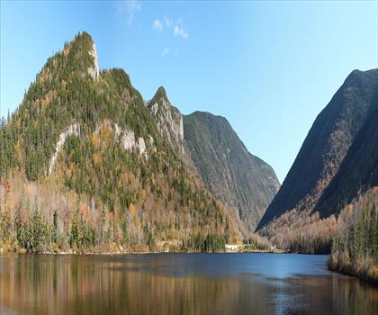
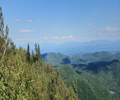
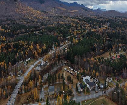
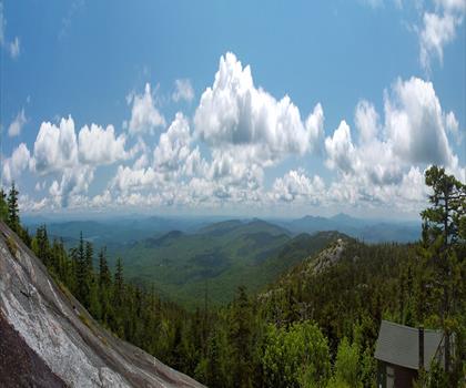
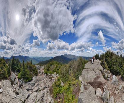
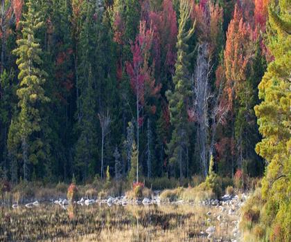
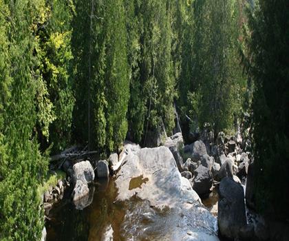
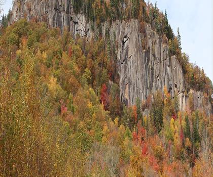
Hidden within Vermont's Groton State Forest, this summit trail features 747 m elevation gain over 3 to 4 hours of hiking.
Dog rules: check the trail page
See the trailor pick your starting city — the number is how many trails we list.
Pick your drive. Save time for the trail.
220 trails within 2 hr of Montpelier by car. Compare the drive, the walking time and the level to choose your next outing.
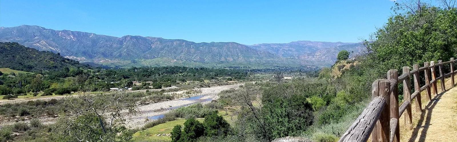
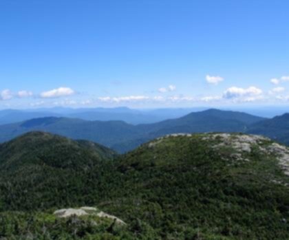
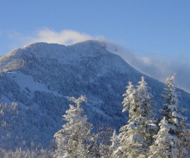
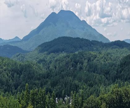
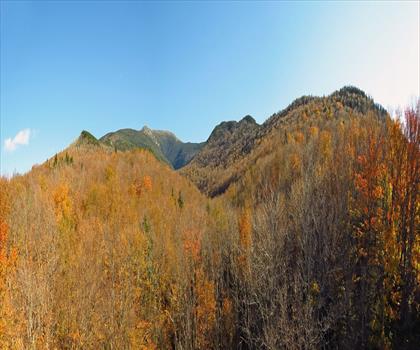
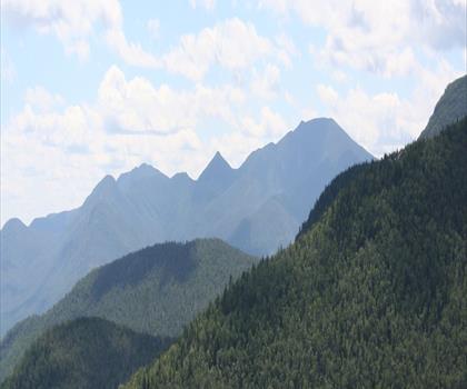
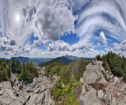
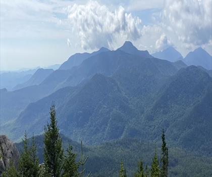
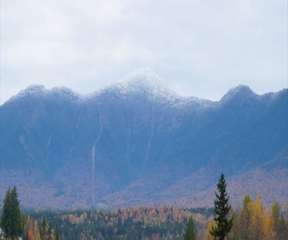
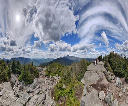
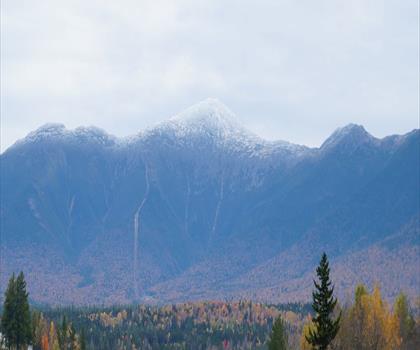
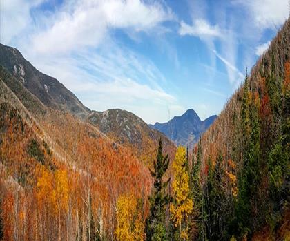
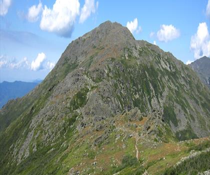
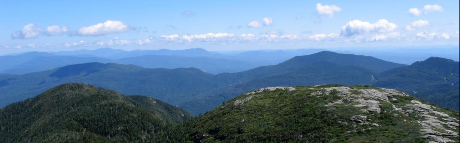
Photo : Mount Mansfield, Vermont
Drive times are estimates (≈) from the city centre, as the crow flies. Walking time comes from the trail page when it has one; a walking filter hides trails without a duration.
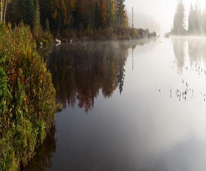
Drive ≈ 28 min Walk 5 hr 30 min
Hidden within Vermont's Groton State Forest, this summit trail features 747 m elevation gain over 3 to 4 hours of hiking.
Dog rules: check the trail page
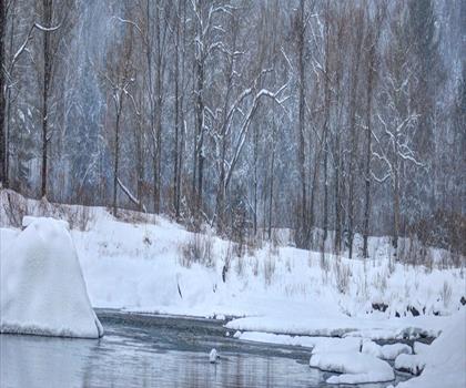
See the trailDrive ≈ 45 min Walk 4 hr 15 min
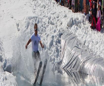
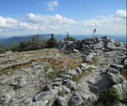
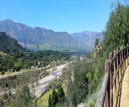
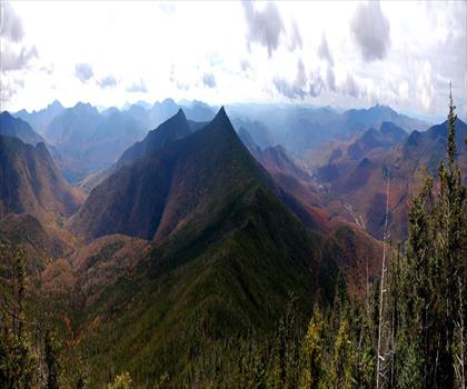
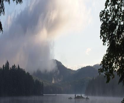
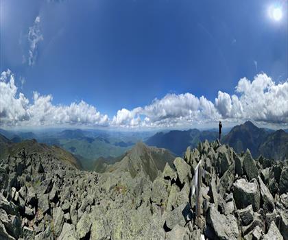
Mount Mansfield: Vermont's Iconic Alpine Summit At 4,393 feet, Mount Mansfield is Vermont's highest peak and one of the most… Easy trail of 8.5 km, 1234 m of climb.
Dog rules: check the trail page
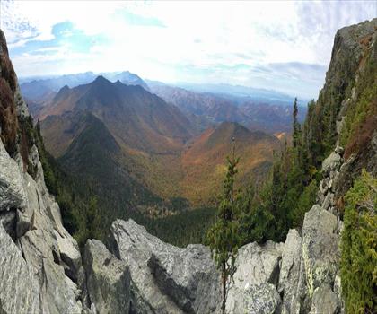
See the trailDrive ≈ 1 hr 5 min Walk 2 hr 15 min
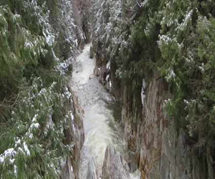
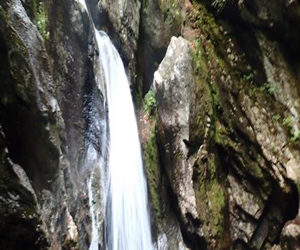
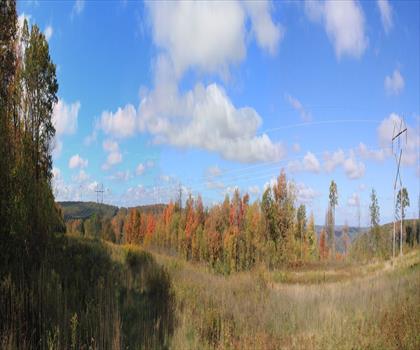
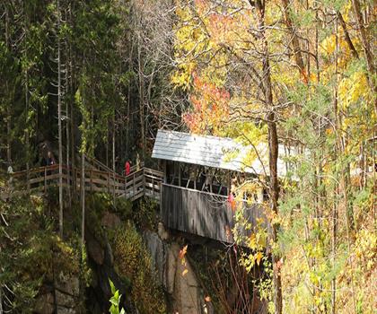
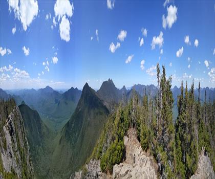
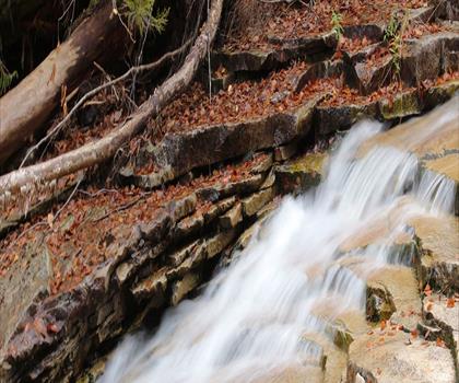
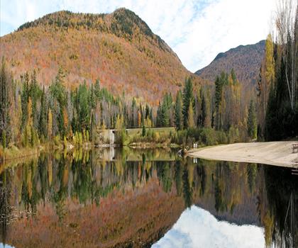
Navigate dramatic rock formations and narrow passages through 449m of elevation gain in this 4 to 5 hour adventure in West… Moderate trail of 3.2 km, 449 m of climb.
Dog rules: check the trail page
See the trailCentral Vermont
Drive ≈ 7 min Walk 1 hr 30 min
Level: Moderate
Green Mountains
Drive ≈ 1 hr 5 min Walk 3 hr 45 min
Level: Easy Dogs allowed
Connecticut River Valley
Drive ≈ 1 hr 11 min Walk 30 min
Level: Easy Dogs allowed
Northeast Kingdom
Drive ≈ 1 hr 41 min Walk 2 hr 15 min
Level: Moderate
Connecticut River Valley
Drive ≈ 1 hr 51 min Walk 4 hr 30 min
Level: Hard Dogs allowed
Green Mountains
Drive ≈ 1 hr 54 min Walk 2 hr 30 min
Level: Moderate Dogs allowed
White Mountains New Hampshire
Drive ≈ 1 hr 18 min Walk 2 hr 15 min
Level: Moderate
Dartmouth-Lake Sunapee New Hampshire
Drive ≈ 1 hr 20 min Walk 2 hr 30 min
Level: Moderate
Dartmouth-Lake Sunapee New Hampshire
Drive ≈ 1 hr 22 min
Level: Moderate Dogs allowed
Dartmouth-Lake Sunapee New Hampshire
Drive ≈ 1 hr 25 min
Dogs allowed
White Mountains New Hampshire
Drive ≈ 1 hr 26 min Walk 4 hr 15 min
Level: Easy Dogs allowed
White Mountains New Hampshire
Drive ≈ 1 hr 27 min Walk 45 min
Level: Easy
White Mountains New Hampshire
Drive ≈ 1 hr 27 min Walk 6 hr 45 min
Level: Hard Dogs allowed
White Mountains New Hampshire
Drive ≈ 1 hr 27 min Walk 45 min
Level: Easy Dogs allowed
White Mountains New Hampshire
Drive ≈ 1 hr 27 min Walk 5 hr 30 min
Level: Hard Dogs allowed
White Mountains New Hampshire
Drive ≈ 1 hr 30 min Walk 1 hr 30 min
Level: Easy Dogs allowed
White Mountains New Hampshire
Drive ≈ 1 hr 31 min Walk 4 hr
Level: Hard Dogs allowed
White Mountains New Hampshire
Drive ≈ 1 hr 35 min Walk 9 hr 5 min
Level: Moderate Dogs allowed
White Mountains New Hampshire
Drive ≈ 1 hr 35 min Walk 3 hr 15 min
Level: Easy
White Mountains New Hampshire
Drive ≈ 1 hr 35 min Walk 2 hr 15 min
Level: Moderate Dogs allowed
White Mountains New Hampshire
Drive ≈ 1 hr 37 min
Level: Hard Dogs allowed
White Mountains New Hampshire
Drive ≈ 1 hr 37 min Walk 3 hr 10 min
Level: Hard Dogs allowed
White Mountains New Hampshire
Drive ≈ 1 hr 39 min Walk 1 hr 15 min
Level: Easy Dogs allowed
White Mountains New Hampshire
Drive ≈ 1 hr 41 min Walk 6 hr 30 min
Level: Hard Dogs allowed
White Mountains New Hampshire
Drive ≈ 1 hr 41 min Walk 30 min
Level: Easy
White Mountains New Hampshire
Drive ≈ 1 hr 42 min Walk 7 hr 30 min
Level: Hard Dogs allowed
White Mountains New Hampshire
Drive ≈ 1 hr 42 min Walk 10 hr 30 min
Level: Hard Dogs allowed
Dartmouth-Lake Sunapee New Hampshire
Drive ≈ 1 hr 44 min Walk 3 hr 30 min
Level: Moderate Dogs allowed
Eastern Townships Quebec
Drive ≈ 1 hr 45 min Walk 6 hr 30 min
Level: Easy Dogs allowed
White Mountains New Hampshire
Drive ≈ 1 hr 45 min Walk 4 hr 45 min
Level: Hard Dogs allowed
White Mountains New Hampshire
Drive ≈ 1 hr 45 min Walk 1 hr 45 min
Level: Easy Dogs allowed
Dartmouth-Lake Sunapee New Hampshire
Drive ≈ 1 hr 46 min Walk 3 hr 15 min
Level: Moderate
Adirondacks New York
Drive ≈ 1 hr 46 min Walk 2 hr 30 min
Level: Moderate Dogs allowed
Adirondacks New York
Drive ≈ 1 hr 46 min Walk 2 hr 15 min
Level: Moderate Dogs allowed
Adirondacks New York
Drive ≈ 1 hr 47 min Walk 4 hr 30 min
Level: Moderate Dogs allowed
White Mountains New Hampshire
Drive ≈ 1 hr 47 min Walk 3 hr 30 min
Level: Moderate Dogs allowed
Adirondacks New York
Drive ≈ 1 hr 50 min Walk 2 hr 30 min
Level: Hard Dogs allowed
Dartmouth-Lake Sunapee New Hampshire
Drive ≈ 1 hr 51 min Walk 2 hr 15 min
Level: Moderate
Adirondacks New York
Drive ≈ 1 hr 51 min Walk 3 hr 5 min
Level: Moderate Dogs allowed
Eastern Townships Quebec
Drive ≈ 1 hr 52 min
Level: Hard Dogs allowed
White Mountains New Hampshire
Drive ≈ 1 hr 52 min Walk 2 hr 30 min
Level: Easy Dogs allowed
White Mountains New Hampshire
Drive ≈ 1 hr 52 min Walk 1 hr 40 min
Level: Easy Dogs allowed
Adirondacks New York
Drive ≈ 1 hr 52 min Walk 2 hr 30 min
Level: Moderate Dogs allowed
Adirondacks New York
Drive ≈ 1 hr 53 min Walk 1 hr 30 min
Level: Moderate Dogs allowed
White Mountains New Hampshire
Drive ≈ 1 hr 53 min Walk 3 hr
Level: Moderate Dogs allowed
Adirondacks New York
Drive ≈ 1 hr 53 min Walk 3 hr 30 min
Level: Hard Dogs allowed
Adirondacks New York
Drive ≈ 1 hr 54 min Walk 3 hr
Level: Hard Dogs allowed
White Mountains New Hampshire
Drive ≈ 1 hr 54 min Walk 4 hr 15 min
Level: Moderate
Adirondacks New York
Drive ≈ 1 hr 55 min Walk 3 hr 15 min
Level: Hard Dogs allowed
Adirondacks New York
Drive ≈ 1 hr 55 min Walk 2 hr 30 min
Level: Moderate Dogs allowed
White Mountains New Hampshire
Drive ≈ 1 hr 56 min Walk 3 hr 30 min
Level: Moderate
White Mountains New Hampshire
Drive ≈ 1 hr 56 min Walk 2 hr 30 min
Level: Moderate Dogs allowed
Great North Woods New Hampshire
Drive ≈ 1 hr 56 min Walk 5 hr 30 min
Level: Hard Dogs allowed
Adirondacks New York
Drive ≈ 1 hr 56 min Walk 3 hr 40 min
Level: Hard Dogs allowed
White Mountains New Hampshire
Drive ≈ 1 hr 57 min Walk 4 hr 30 min
Level: Hard Dogs allowed
Adirondacks New York
Drive ≈ 1 hr 57 min Walk 7 hr 30 min
Level: Hard Dogs allowed
White Mountains New Hampshire
Drive ≈ 1 hr 57 min Walk 3 hr 30 min
Level: Moderate Dogs allowed
White Mountains New Hampshire
Drive ≈ 1 hr 57 min Walk 3 hr 20 min
Level: Moderate
Adirondacks New York
Drive ≈ 1 hr 57 min Walk 4 hr 30 min
Level: Moderate
White Mountains New Hampshire
Drive ≈ 1 hr 57 min Walk 4 hr 20 min
Level: Moderate Dogs allowed
Adirondacks New York
Drive ≈ 1 hr 58 min Walk 10 hr 30 min
Level: Hard Dogs allowed
White Mountains New Hampshire
Drive ≈ 1 hr 58 min Walk 3 hr
Level: Moderate
White Mountains New Hampshire
Drive ≈ 1 hr 58 min Walk 6 hr 5 min
Level: Hard Dogs allowed
Adirondacks New York
Drive ≈ 1 hr 59 min Walk 1 hr 15 min
Level: Easy
Lakes Region New Hampshire
Drive ≈ 1 hr 59 min Walk 1 hr 15 min
Level: Easy
White Mountains New Hampshire
Drive ≈ 1 hr 59 min Walk 4 hr 15 min
Level: Hard Dogs allowed
White Mountains New Hampshire
Drive ≈ 1 hr 59 min Walk 3 hr 30 min
Level: Moderate Dogs allowed
Adirondacks New York
Drive ≈ 1 hr 59 min Walk 8 hr 30 min
Level: Hard Dogs allowed
White Mountains New Hampshire
Drive ≈ 1 hr 59 min Walk 30 min
Level: Easy Dogs allowed
Adirondacks New York
Drive ≈ 2 hr Walk 2 hr 15 min
Level: Hard Dogs allowed
Adirondacks New York
Drive ≈ 2 hr Walk 3 hr 45 min
Level: Hard Dogs allowed
Adirondacks New York
Drive ≈ 2 hr Walk 4 hr 15 min
Level: Moderate Dogs allowed
No trail matches these filters. Widen the drive or remove a filter.
Think about the way back, the breaks and the parking.
Opening hours, parking and access conditions can change with the season.
Changing weather can make some trails harder.
Match the length and the level to your group and the time you have.
Without a car, an outing takes more planning. Some destinations near Montpelier may be served by public transit, but none of our trail pages lists it yet.
Check schedules and the last return trip with the transit agency before you go.
See the frequently asked questionsSpring
Spring hiking around Montpelier brings muddy trails and unpredictable weather from March through May, with temperatures ranging from 30-70°F.
The famous 'mud season' makes many trails impassable, so stick to well-established paths and consider microspikes for icy morning conditions. Pack layers and waterproof gear as weather can change rapidly in Vermont's mountains.
Summer
Summer offers the best hiking conditions near Montpelier, with warm temperatures (60-80°F) and long daylight hours perfect for exploring Vermont's Green Mountains.
Popular nearby areas include Camel's Hump State Park and Mount Mansfield, though trails can be crowded on weekends. Bring plenty of water, insect repellent for blackflies and mosquitoes, and start early to avoid afternoon thunderstorms.
Fall
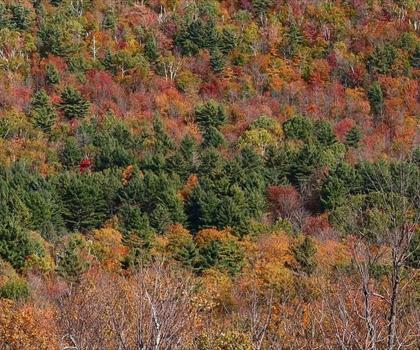
Fall transforms Montpelier's surrounding mountains into a spectacular display of foliage from late September through mid-October, making it peak hiking season.
Temperatures drop to 40-65°F, requiring warm layers, and trails become busy with leaf-peepers. Book accommodations early and expect crowded trailheads, especially on weekends during peak foliage season.
Winter
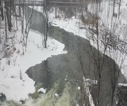
Winter hiking around Montpelier requires serious preparation with temperatures often below freezing and significant snowfall from December through March.
Snowshoes or cross-country skis become essential for most trails, and shorter daylight hours mean early starts are crucial. Dress in moisture-wicking layers, bring emergency gear, and check avalanche conditions in steeper terrain.
The page lists 220 trails. The closest is Vermont Association of Snow Travelers (≈ 7 min drive from downtown), the farthest Squam Lake (≈ 2 hr). Drive times are estimated as the crow flies.
16 trails are within ≈ 30 min of driving, 49 within ≈ 1 hr, and all of them within ≈ 2 hr. These are estimates from downtown.
Among the trails on this page, the most viewed on Let's Go Play Outside are Sutton Natural Environment Park, Station Touristique Mont Owl's Head and Mount Mansfield, Vermont.
206 listings give a length, from 0.3 km (Zen Gardens) to 150 km (Cross Vermont Trail). The other 14 do not say.
Yes: among the trails on this page that give a level, 72 easy, 73 moderate and 51 hard. The closest easy ones: Central Vermont Loop, Butterfield Mountain and Knox Mountain, Vermont.
88 listings say dogs are allowed and 0 say they are not. For the other 132, the rule is not confirmed: check the trail page before you go.
4 listings say access is free, including Sugarbush Resort, Suicide Six and Giant Mountain, New York among the closest. For the others, free access is not confirmed: check the trail page.
Free guide: 25 hikes under 2 hours from Montreal
Drive time, distance and level for each one. The ones we go back to ourselves.
Get the guide