


Ready to explore Mt. Morgan Trailhead? Here's everything you need to know before you go!
Discover the trail
Oh no! We don't have any photos 😢
This trail hasn't been captured yet. Be the first to share your adventure!Trail description
The Mt. Morgan Trailhead sits in New Hampshire's Lakes Region, offering hikers a rewarding climb through dense forest to spectacular summit views over Squam Lake. This well-maintained trail combines moderate challenge with unique terrain features, making it a standout destination for both local adventurers and visitors exploring the area's hiking opportunities.
The Trail Experience
From the trailhead, you'll immediately enter a lush forest canopy that provides welcome shade and a sense of wilderness immersion. The trail is clearly marked and well-maintained throughout, giving hikers confidence as they navigate the route. The path winds steadily upward through mixed hardwood and coniferous forest, where the sounds of everyday life quickly fade into the natural rhythm of the woods.
What sets Mt. Morgan apart from other regional hikes are the engaging terrain features you'll encounter during the ascent. The trail includes wooden ladders that help you navigate steeper sections, adding an element of adventure without requiring technical climbing skills. Rocky scrambles punctuate the route, providing natural stepping stones and handholds that make the climb feel more like an outdoor adventure than a simple walk in the woods.
These varied terrain features serve a practical purpose beyond excitement—they break up what could otherwise be a monotonous climb, keeping hikers engaged and providing natural rest points where you can pause to appreciate your surroundings. The combination of forest walking, ladder climbing, and rock scrambling creates a diverse hiking experience that appeals to adventurers of all skill levels.
Summit Rewards
The summit of Mt. Morgan delivers panoramic vistas that justify every step of the climb. From the top, you'll look out over Squam Lake's pristine waters, with the surrounding mountains creating a dramatic backdrop that showcases the Lakes Region's distinctive character. The view encompasses both the intimate scale of the lake below and the broader mountain landscape that defines this part of New Hampshire.
The summit provides an ideal spot for photography, whether you're capturing the sweeping lake views or the detailed mountain ridgelines that stretch into the distance. The open summit area offers multiple vantage points, so you can find the perfect angle for photos or simply choose a comfortable spot to rest and take in the scenery. Many hikers find this view particularly rewarding because it combines water and mountain elements in a single panorama.
Trail Connections and Extensions
For hikers looking to extend their adventure, Mt. Morgan connects well with nearby Mt. Percival, creating a loop option that significantly expands the day's hiking experience. This combination offers more spectacular views and introduces additional terrain variety, making it an excellent choice for stronger hikers or those with extra time to explore.
The Mt. Morgan and Mt. Percival loop creates a more comprehensive exploration of the area's hiking opportunities, with each summit providing different perspectives on the Lakes Region landscape. This extended route appeals to hikers who want to maximize their time in the area and experience multiple viewpoints in a single outing.
Planning Your Visit
The trail accommodates hikers of all skill levels, though the wooden ladders and rocky scrambles require basic comfort with varied terrain. Most hikers complete the Mt. Morgan trail in 3 to 4 hours, including time for summit photography and rest breaks. The 670-meter elevation gain provides a solid workout without being overwhelming for recreational hikers.
Proper footwear becomes particularly important on Mt. Morgan due to the rocky scrambles and wooden ladder sections. Hiking boots or sturdy trail shoes with good traction will help you navigate these features safely and confidently. The varied terrain means your feet will encounter everything from soft forest floor to solid rock surfaces.
Water and snacks are essential for this hike, especially if you plan to spend time enjoying the summit views or extending your adventure to include Mt. Percival. The climb works up a good appetite, and the summit provides an excellent spot for a trail lunch with a view.
Preserving the Experience
Mt. Morgan's continued appeal depends on hikers following Leave No Trace principles throughout their visit. The trail's popularity means that small impacts from individual visitors can accumulate quickly, so pack out all trash, stay on marked trails, and avoid disturbing the natural features that make this hike special.
The wooden ladders and trail infrastructure require ongoing maintenance to remain safe and functional. Treating these features with care helps ensure they'll continue serving hikers for years to come. Similarly, the rocky scramble sections can be damaged by loose rock removal or unnecessary trail widening.
The Lakes Region's natural beauty attracts visitors precisely because it maintains its wild character despite being accessible to day hikers. Your commitment to responsible hiking practices helps preserve both the immediate trail experience and the broader landscape that makes Mt. Morgan such a rewarding destination in New Hampshire's outdoor recreation network.
The Essential Hiking Checklist
Everything you need for your next hike. Bilingual, printable, 1 page.
Get your free hiking checklistRecommended gear for this trail
As an Amazon Associate I earn from qualifying purchases.


Ready to go?
Everything you need to know before you goStarting Point
The mt. morgan trailhead is located in the town of Carroll, New Hampshire. From the center of town, drive east on Route 16 for 2.5 miles. The trailhead will be on the left side of the road.
When?
How much?
As an Amazon Associate I earn from qualifying purchases.
Affiliate links — LGPO may earn a commission at no extra cost to you.
- Hiking shoes Essential
- → Salomon Elixir Tour Mid WP · 203.38 $
- Layered clothing Essential
- Rain jacket Essential
- Trekking poles
- → Black Diamond Trail Ergo Cork · 69.99 $
- Headlamp
- → Petzl Actik Core 625 · 103.95 $
FAQ - Frequently asked questions
Everything you need to knowSimilar hikes nearby
Discover other trails you might enjoy

Crawford
White Mountains
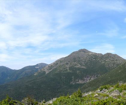
Presidential Range Rail Trail
White Mountains

Welch-Dickey Trailhead
White Mountains
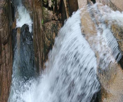
Sabbaday Falls
White Mountains
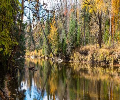
Swift River
White Mountains
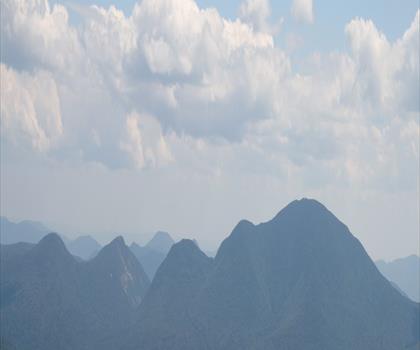
Mt Bond
White Mountains
Hiking near North Conway
0 trails to explore ~45 km away
We work hard to provide the most up-to-date and error-free data possible. If something seems incorrect, let us know! Your contribution helps the whole community.
Hikers' opinions
Be the first to review!
No hiker has shared their experience yet. Share your impressions and help other hikers!