
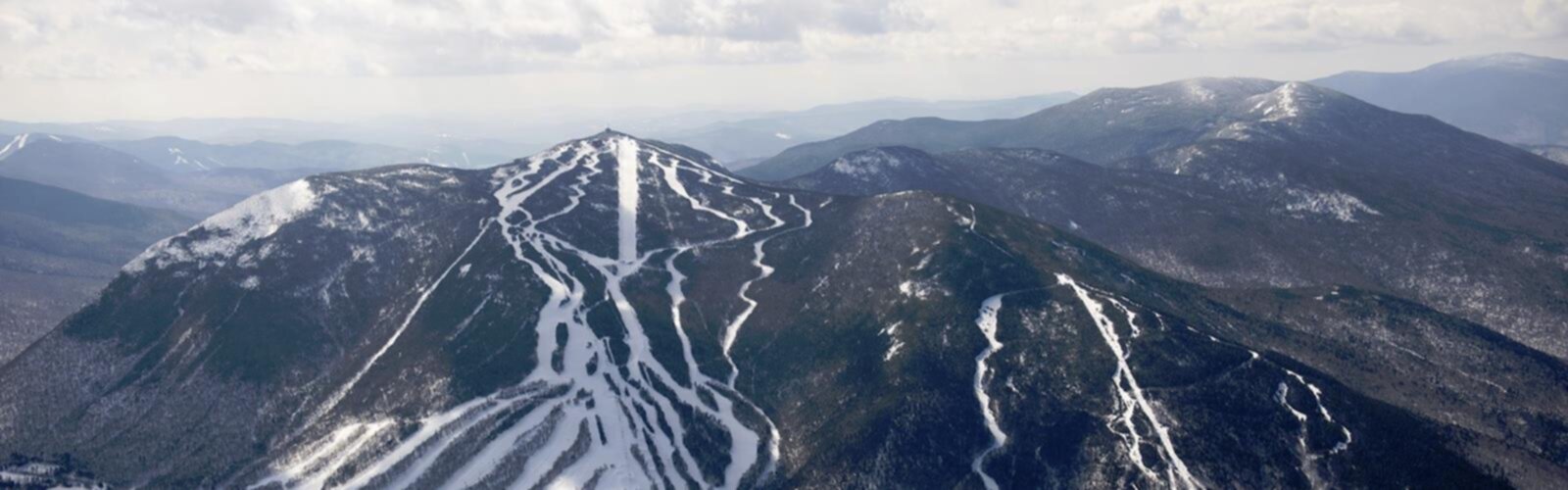

Ready to explore Cannon Mountain? Here's everything you need to know before you go!
Discover the trail
Trail description
Cannon Mountain rises 4,080 feet above Franconia Notch, making it one of the most recognizable peaks in New Hampshire's White Mountains. Located within Franconia Notch State Park, it draws a wide range of visitors—from families looking for an accessible mountain experience to seasoned hikers ready to put in serious elevation gain. What makes Cannon stand out is the combination of a demanding trail and a historic tramway, giving you real options for how you want to tackle the mountain.
The mountain's western position in the notch means its summit delivers sweeping views across the entire Franconia Range. On a clear day, you can see north toward the Canadian border and south into layers of New Hampshire's hill country. That summit panorama is the payoff that keeps people coming back.
The Kinsman Ridge Trail
The main hiking route to the summit follows the Kinsman Ridge Trail, and it earns its reputation as a serious climb. Over 7.2 kilometers round trip, you'll gain 1,244 meters of elevation—numbers that tell you right away this isn't a casual stroll. Budget around 4.5 hours for the full trip, though your actual time will depend on your pace and how long you linger at the top.
The lower sections of the trail move through dense hardwood forest, where the grade is manageable and the canopy provides welcome shade. As you climb, the trees shift to coniferous species and the terrain gets progressively more demanding. Expect granite slabs, large boulders, and steep pitches that require you to watch your foot placement carefully. Wet conditions make these rock surfaces genuinely slippery, so check the forecast before you head out and adjust your plans accordingly.
The upper third of the trail is where the mountain really tests you. The pitches steepen, the scrambling becomes more technical, and the forest starts to open up. That gradual reveal of the surrounding landscape is one of the best parts of hiking Cannon—you earn each new view as you push higher. The final approach brings you to the tramway infrastructure and the observation deck at the summit, where the effort suddenly feels very worth it.
Summit Views and What to Expect at the Top
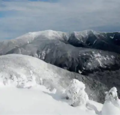
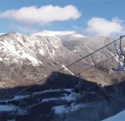
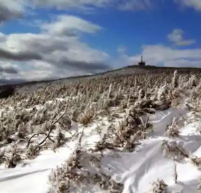
The summit area at Cannon Mountain is a mix of natural alpine environment and human infrastructure. The Aerial Tramway's upper terminal and observation deck give you stable platforms to take in the views, while the true high point of the mountain offers a quieter, more exposed perch. Either way, the 360-degree panorama is exceptional—the Franconia Ridge dominates the view to the east, with the dramatic ridgeline stretching out across the notch.
Weather at the summit can shift quickly regardless of what conditions look like at the trailhead. Even in summer, wind and cooler temperatures are common at 4,080 feet. Bring an extra layer, and don't leave the car without water and basic emergency supplies. This applies even to experienced hikers—the exposed summit has a way of humbling people who underestimate it.
The Artists Bluff Alternative
Not every visit to Cannon Mountain needs to involve the full summit push. The Artists Bluff Trail is a shorter option that leads to open ledges with excellent views of Franconia Notch and the surrounding peaks. The elevation gain is much more modest, the terrain is friendlier, and the payoff—framed views of the notch from open rock outcroppings—is genuinely impressive. This trail works well for families with younger kids or anyone who wants a taste of White Mountain scenery without committing to a full-day effort.
The Aerial Tramway
The Aerial Tramway at Cannon Mountain is one of the oldest in North America and remains a legitimate way to experience the summit. The ride takes under ten minutes and carries you from the base to 4,080 feet, making the summit accessible to people who can't or don't want to hike the Kinsman Ridge Trail. During the ascent, you get a clear sense of just how steep and rugged the terrain is—which gives you a new appreciation for what the trail hikers are working through below you.
A popular approach is to combine both modes: hike up and ride down, or take the tramway up and hike down. This lets you experience the mountain from two very different perspectives and gives you flexibility to manage your energy based on how the day is going.
Getting There and Practical Notes
The trailhead for the Kinsman Ridge Trail is accessible from the main road through Franconia Notch State Park, with parking available nearby. During peak fall foliage season and busy summer weekends, the lot can fill up early—arriving before 8 a.m. is a reliable way to secure a spot and get a head start on the trail before the crowds build.
The park's infrastructure means well-maintained facilities and clear trail markings throughout. You're unlikely to have trouble navigating, but carrying a map is still a good habit on any White Mountain peak. Wildlife in the area includes white-tailed deer in the lower forest sections and a variety of bird species along the trail. Black bears are present in the region—standard food storage practices and making noise while hiking are all you need to keep encounters unlikely.
Layered clothing is non-negotiable here. The temperature difference between the trailhead and the summit can be significant, and the exposed upper sections of the Kinsman Ridge Trail leave you fully open to wind. Pack accordingly, and you'll be set for a genuinely rewarding day on one of New Hampshire's most distinctive peaks.
The Essential Hiking Checklist
Everything you need for your next hike. Bilingual, printable, 1 page.
Get your free hiking checklistRecommended gear for this trail
As an Amazon Associate I earn from qualifying purchases.


Ready to go?
Everything you need to know before you goStarting Point
The start of the trails at the cannon mountain in New Hampshire can be accessed from the cannon mountain Aerial Tramway.
When?
How much?
As an Amazon Associate I earn from qualifying purchases.
Affiliate links — LGPO may earn a commission at no extra cost to you.
- Hiking shoes Essential
- → Salomon Elixir Tour Mid WP · 203.38 $
- Layered clothing Essential
- Rain jacket Essential
- Trekking poles
- → Black Diamond Trail Ergo Cork · 69.99 $
- Headlamp
- → Petzl Actik Core 625 · 103.95 $
FAQ - Frequently asked questions
Everything you need to knowSimilar hikes nearby
Discover other trails you might enjoy

Crawford
White Mountains
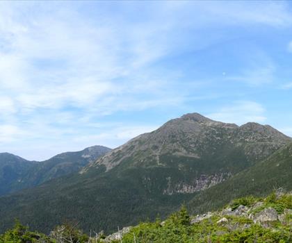
Presidential Range Rail Trail
White Mountains

Welch-Dickey Trailhead
White Mountains
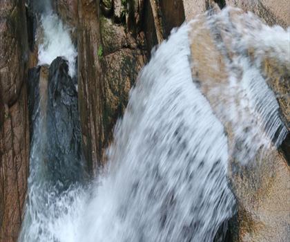
Sabbaday Falls
White Mountains
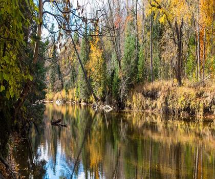
Swift River
White Mountains
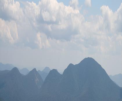
Mt Bond
White Mountains
Hiking near North Conway
0 trails to explore ~47 km away
We work hard to provide the most up-to-date and error-free data possible. If something seems incorrect, let us know! Your contribution helps the whole community.
Hikers' opinions
Be the first to review!
No hiker has shared their experience yet. Share your impressions and help other hikers!