


Ready to explore Parc Michel-Chartrand? Here's everything you need to know before you go!
Discover the trail
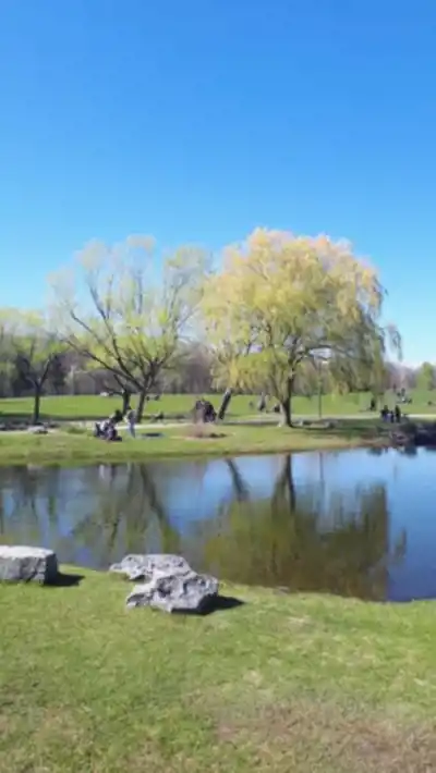

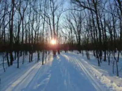

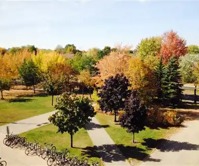
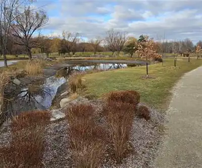
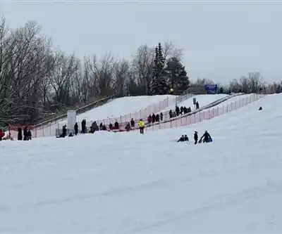
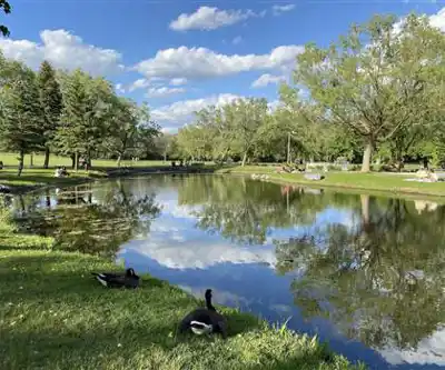
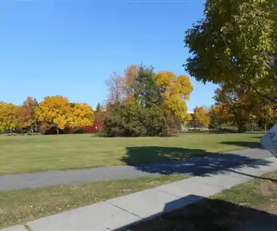
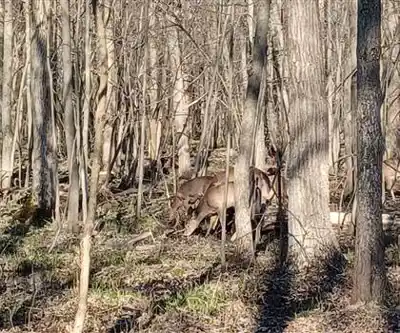
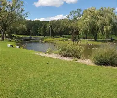
Photos: Panoramio upload bot — CC BY (Wikimedia Commons) Veillg1 — CC0 (Wikimedia Commons) Noel Alberto Diaz Garcia — Google Maps (Google Maps) Noosh — Google Maps (Google Maps) Jeangagnon — CC BY-SA (Wikimedia Commons) Tom Vu — Google Maps (Google Maps) Alexandrine Groleau — Google Maps (Google Maps)
Available trails
| TrailTrails | Dist.Distance | GainElevation | TimeDuration | Difficulty | GPX |
|---|---|---|---|---|---|
|
Beginner
|
3 km | — | 40min | Beginner | |
|
Beginner
|
3.3 km | — | 44min | Beginner | |
|
Beginner
|
5.4 km | — | 1h30 | Beginner | |
|
Beginner
|
2 km | — | 27min | Beginner | |
|
Beginner
|
2.7 km | — | 36min | Beginner | |
|
Beginner
|
2.5 km | — | 33min | Beginner |
Trail description
Facilities and Amenities
Beyond the trail network, Parc Michel Chartrand provides comprehensive facilities that enhance the outdoor experience. Designated picnic areas with tables make this an excellent destination for combining hiking with family meals or group gatherings. The children's playgrounds ensure that families can extend their visit beyond hiking, keeping younger visitors engaged.
The park also features a managed wetland observation area, three artificial lakes, and community gardens. Panoramic viewpoints along the trails offer elevated perspectives over the surrounding landscape, creating natural photo opportunities and rest stops with rewarding views.
For those interested in outdoor activities, the park provides open spaces suitable for group activities or individual practice. These areas complement the hiking trails by offering alternatives for visitors seeking different types of outdoor exercise.
Services and amenities
This information may vary by season.
Recommended gear for this trail
As an Amazon Associate I earn from qualifying purchases.


Ready to go?
Everything you need to know before you goStarting Point
parc michel chartrand has several trailheads, each offering easy access to different areas of the park.
Main entrance (Boulevard Vauquelin):
Address:
1895 Boulevard Jacques-Cartier Est, Longueuil, QC J4N 1A3
Description: This is the park's main entrance, offering direct access to the most popular trails. Ideal for visitors wishing to explore the park's main attractions as soon as they arrive.
Rue Joliette entrance:
Address: Rue Joliette, Longueuil, QC J4L 4C3
Description: This entrance is perfect for those who prefer to start their hike in a quieter, less crowded area of the park.
Rue de la Saulaie entrance :
Address: Rue de la Saulaie, Longueuil, QC J4N 1E2
Description: Close to several picnic areas and ideal for families and groups wishing to spend the day in the park.
When?
How much?
As an Amazon Associate I earn from qualifying purchases.
Affiliate links — LGPO may earn a commission at no extra cost to you.
- Hiking shoes Essential
- → Salomon Elixir Tour Mid WP · 203.38 $
- Layered clothing Essential
- Rain jacket Essential
- Trekking poles
- → Black Diamond Trail Ergo Cork · 69.99 $
- Headlamp
- → Petzl Actik Core 625 · 103.95 $
FAQ - Frequently asked questions
Everything you need to know
25 hikes under 2 hours from Montreal
Distance, elevation, parking and season for each one. The ones we go back to ourselves.
Get the guideSimilar hikes nearby
Discover other trails you might enjoy
Mont St Hilaire
Montérégie
Parc De La Cité
Montérégie
Mont Saint Bruno National Park
Montérégie
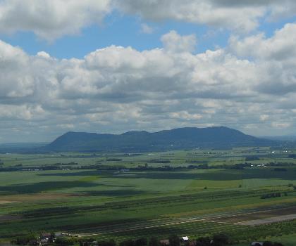
Rougemont Mount
Montérégie

Parc Régional De Beauharnois - Salaberry
Montérégie

Chouette À Voir
Montérégie
Hiking near Montreal
92 trails to explore ~9 km away
We work hard to provide the most up-to-date and error-free data possible. If something seems incorrect, let us know! Your contribution helps the whole community.
Hikers' opinions
Be the first to review!
No hiker has shared their experience yet. Share your impressions and help other hikers!