
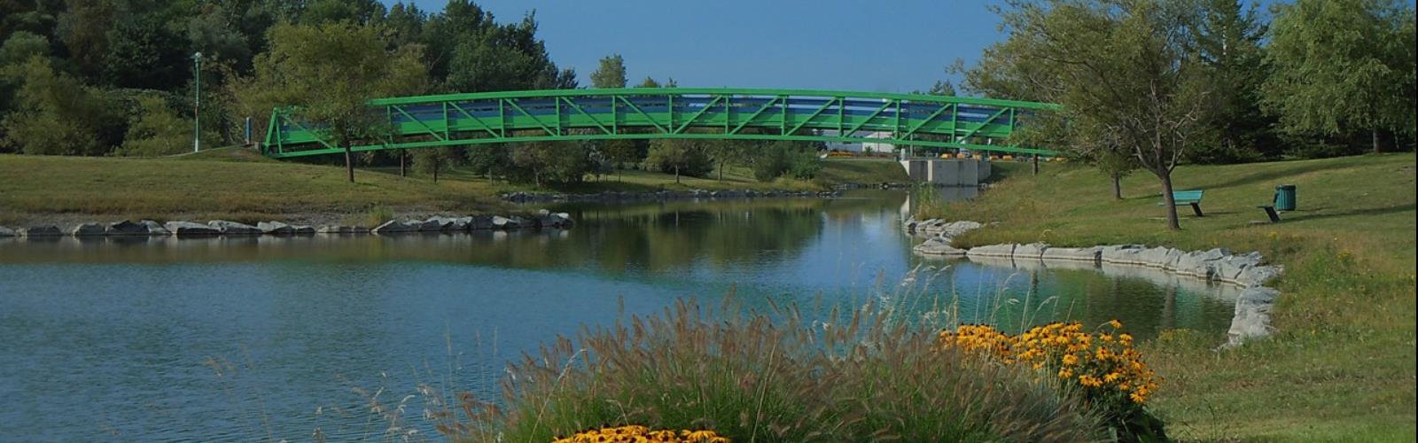
Ready to explore Parc de la Cité? Here's everything you need to know before you go!
Discover the trail


Photos: Veillg1 — CC0 (Wikimedia Commons) Panoramio upload bot — CC BY (Wikimedia Commons) Meliii Rahm — Google Maps (Google Maps) Aiwu Ye — Google Maps (Google Maps)
Trail description
The park at a glance
According to the City of Longueuil, Parc de la Cité covers 960,000 square metres and can be visited 365 days a year. It has a lawn plain and a retention basin 1 km long, ringed by woodlots and peatlands, with a hill that looks out over Montréal and the Montérégiennes. The 2022 park map also places picnic areas, play areas, water play, a skating rink and a sliding hill in the park.
The trails
The City announces eight kilometres of trails, one of them linked to the Raymond-Lévesque library. That is the total length of the network: the City describes no 8 km loop and no named circuit, and publishes no elevation gain or duration. A multi-use paved path runs around the basin. The map legend distinguishes walking, a multi-purpose trail, a bike lane and a fitness circuit; snowshoeing and cross-country skiing are marked "winter only". The Montée du chemin de Chambly path, part of the Route verte, runs alongside the park.
Dogs and park rules
Dogs are allowed on a leash at all times; the park map sets a leash shorter than 2 metres. The City bans them from the conservation areas of Parc de la Cité, from play areas and play structures, and from bike paths. The map also prohibits swimming, fires and barbecues, camping, drinking alcohol, motor vehicles, leaving the marked trails and feeding animals; the City's page names Canada geese and deer.
Reception pavilion and parking
The reception pavilion, at 6201 boulevard Davis, covers 550 m². According to the City, it includes washrooms, first aid, the café de la Cité, a rental shop and free parking. The City does not say how many other car parks there are or where. Two water-resistant wheelchairs, for the water play area, are lent free of charge at the rental shop.
Hours and seasons
The park map gives opening hours of 6 a.m. to 11 p.m. The City's page shows 8:30 a.m. to 9 p.m. instead (8:30 a.m. to 5 p.m. on December 24, 25 and 31 and January 1), without saying whether that applies to the park or the pavilion: the schedule is unconfirmed. The City lists walking, cycling, inline skating, snowshoeing and cross-country skiing. No entry fee is mentioned on the City pages that were checked.
FREE GUIDE • PDF
25 hikes under 2 hours from Montreal, with drive time, distance and level.
Get my free guideGuide • checklist • taping videos • Sent by emailNewsletter optional
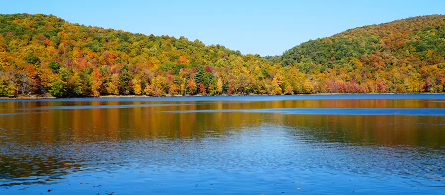
Photo: Jiaqian AirplaneFan, CC BY 3.0, via Wikimedia Commons
Services and amenities
Reception pavilion: washrooms, first aid, café de la Cité, rental shop. The park map (2022) also places picnic areas, play areas, water play and exercise stations.
Recommended gear for this trail
As an Amazon Associate I earn from qualifying purchases.


Ready to go?
Everything you need to know before you goStarting Point
Reception pavilion: 6201 boulevard Davis (at Gaétan-Boucher), Saint-Hubert (Longueuil) J3Y 8Y4. Information: 311 or 450 463-7311 (City of Longueuil).
When?
6 a.m. to 11 p.m. on the park map (2022); the City's page shows 8:30 a.m. to 9 p.m.: schedule unconfirmed.
As an Amazon Associate I earn from qualifying purchases.
Affiliate links — LGPO may earn a commission at no extra cost to you.
- Hiking shoes Essential
- → Salomon Elixir Tour Mid WP · 203.38 $
- Layered clothing Essential
- Rain jacket Essential
- Trekking poles
- → Black Diamond Trail Ergo Cork · 69.99 $
- Headlamp
- → Petzl Actik Core 625 · 103.95 $
FAQ - Frequently asked questions
Everything you need to knowOutings near Parc de la Cité
Discover other trails you might enjoy

Parc Michel-Chartrand
Montérégie · 7.9 km away
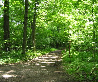
Mont-Saint-Bruno National Park
Montérégie · 8.3 km away
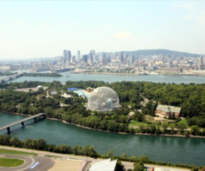
Parc Jean-Drapeau
Montréal · 10.2 km away
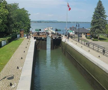
Lieu historique national du Canal-de-Chambly
Montérégie · 11.1 km away

Parc national des Îles-de-Boucherville
Montérégie · 13.0 km away

Parc La Fontaine
Montréal · 13.3 km away
Hiking near Montreal
104 trails to explore ~13 km away
We work hard to provide the most up-to-date and error-free data possible. If something seems incorrect, let us know! Your contribution helps the whole community.
Hikers' opinions
Be the first to review!
No hiker has shared their experience yet. Share your impressions and help other hikers!