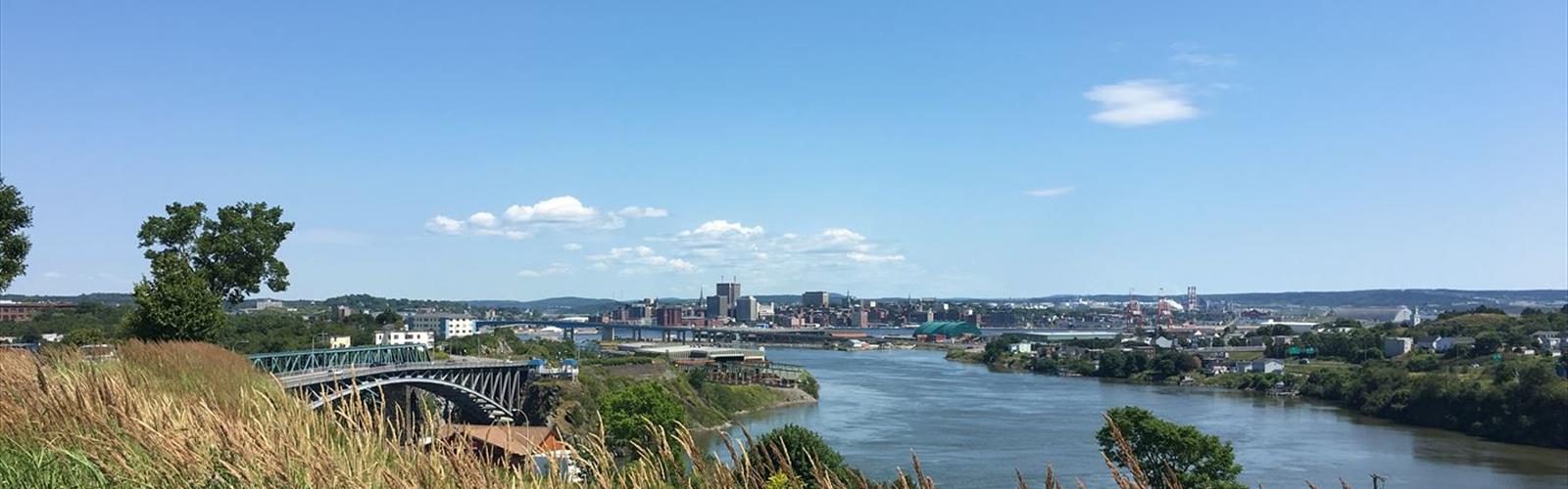
Drive ≈ 5 min Walk 3 hr 15 min
One of Canada's largest urban parks, this 11 km network with 100 m elevation gain sits in the heart of Saint John, New Brunswick. Easy trail of 50 km, 30 m of climb.
Dog rules: check the trail page
See the trailor pick your starting city — the number is how many trails we list.
Pick your drive. Save time for the trail.
22 trails within 2 hr of Saint John by car. Compare the drive, the walking time and the level to choose your next outing.
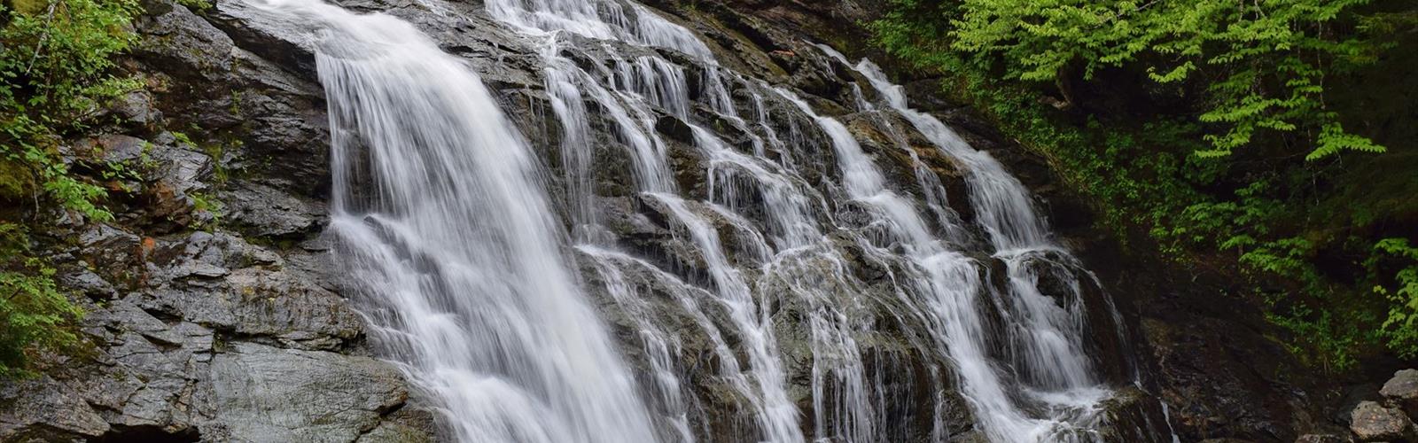
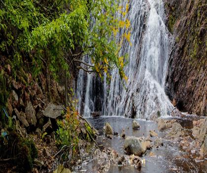
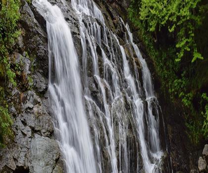
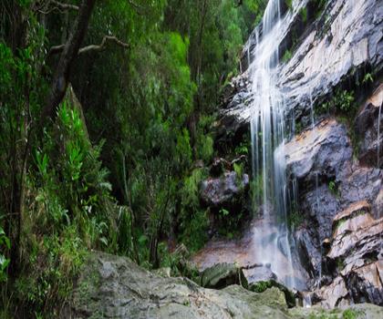
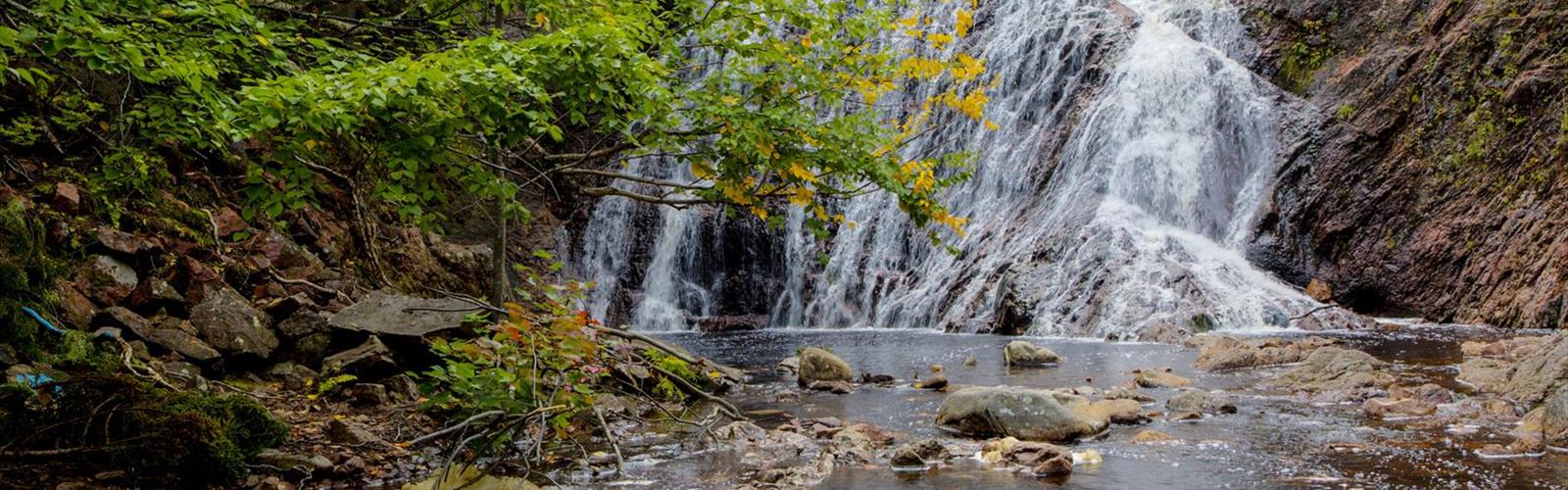
Photo : Welsford Falls
Drive times are estimates (≈) from the city centre, as the crow flies. Walking time comes from the trail page when it has one; a walking filter hides trails without a duration.
Drive ≈ 5 min Walk 3 hr 15 min
One of Canada's largest urban parks, this 11 km network with 100 m elevation gain sits in the heart of Saint John, New Brunswick. Easy trail of 50 km, 30 m of climb.
Dog rules: check the trail page
See the trailDrive ≈ 36 min Walk 1 hr
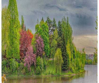
Lower Saint John River Valley Easy trail of 0.6 km, 30 m of climb.
Dog rules: check the trail page
See the trailDrive ≈ 1 hr 53 min Walk 1 hr 30 min
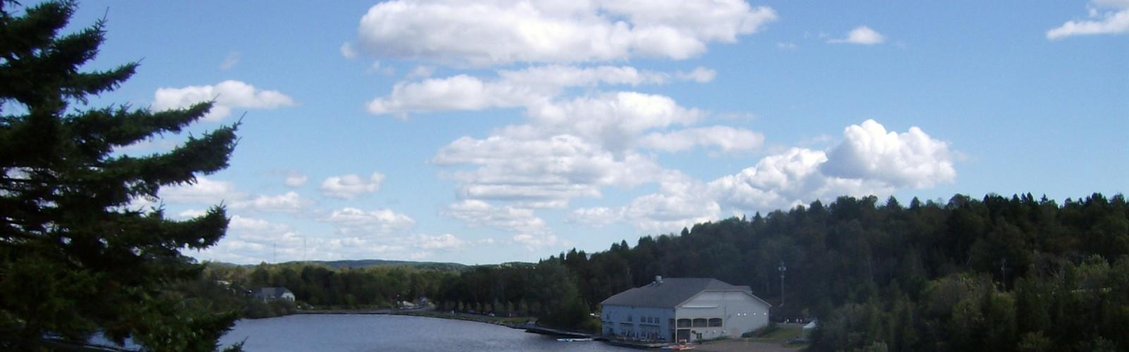
Albert County Moderate trail of 4.8 km, 427 m of climb.
Dog rules: check the trail page
See the trailSouthwest NB
Drive ≈ 1 hr 40 min Walk 4 hr 30 min
Level: Moderate
Southwest NB
Drive ≈ 1 hr 48 min Walk 1 hr 30 min
Level: Easy Dogs allowed
Bay of Fundy & Annapolis Valley Nova Scotia
Drive ≈ 1 hr 29 min Walk 1 hr 15 min
Level: Easy Dogs allowed
Bay of Fundy & Annapolis Valley Nova Scotia
Drive ≈ 1 hr 45 min Walk 1 hr 15 min
Level: Easy
Bay of Fundy & Annapolis Valley Nova Scotia
Drive ≈ 1 hr 47 min Walk 5 hr 20 min
Level: Easy
Bay of Fundy & Annapolis Valley Nova Scotia
Drive ≈ 1 hr 51 min
Level: Hard Dogs allowed
Down East & Acadia Maine
Drive ≈ 1 hr 54 min Walk 30 min
Level: Easy Dogs allowed
Down East & Acadia Maine
Drive ≈ 1 hr 58 min Walk 1 hr
Level: Easy Dogs allowed
Bay of Fundy & Annapolis Valley Nova Scotia
Drive ≈ 1 hr 59 min Walk 30 min
Level: Easy
No trail matches these filters. Widen the drive or remove a filter.
Think about the way back, the breaks and the parking.
Opening hours, parking and access conditions can change with the season.
Changing weather can make some trails harder.
Match the length and the level to your group and the time you have.
Without a car, an outing takes more planning. Some destinations near Saint John may be served by public transit, but none of our trail pages lists it yet.
Check schedules and the last return trip with the transit agency before you go.
See the frequently asked questionsSpring
Spring hiking in Saint John brings mild temperatures and muddy trails as snow melts from March to May.
The city's coastal trails offer excellent views of the Bay of Fundy, though waterproof boots are essential due to wet conditions. Start with shorter urban trails and gradually explore longer routes as weather stabilizes in late May.
Summer
Summer is prime hiking season around Saint John with warm temperatures and long daylight hours from June to August.
The famous Bay of Fundy tides create unique hiking opportunities, especially at low tide when you can explore the ocean floor. Pack plenty of water and sun protection, and plan around tide schedules for coastal trail access.
Fall
Fall transforms Saint John's hiking trails with spectacular autumn foliage from September to November, making it one of the most scenic seasons.
Cooler temperatures provide comfortable hiking conditions, but daylight hours decrease rapidly. Layer clothing for temperature changes and check trail conditions as wet leaves can create slippery surfaces.
Winter
Winter hiking near Saint John requires proper preparation with temperatures often below freezing and potential for snow and ice from December to February.
Microspikes or snowshoes may be necessary depending on trail conditions and snowfall. Choose well-maintained urban trails and always inform someone of your hiking plans due to shorter daylight hours.
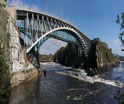
The page lists 22 trails. The closest is Reversing Falls (≈ 4 min drive from downtown), the farthest McMaster Mill Historic Park (≈ 1 hr 59 min). Drive times are estimated as the crow flies.
3 trails are within ≈ 30 min of driving, 5 within ≈ 1 hr, and all of them within ≈ 2 hr. These are estimates from downtown.
Among the trails on this page, the most viewed on Let's Go Play Outside are Laverty Falls, Valleyview Provincial Park and Welsford Falls.
20 listings give a length, from 0.5 km (Reversing Falls) to 51 km (Cape Chignecto Provincial Park). The other 2 do not say.
Yes: among the trails on this page that give a level, 16 easy, 3 moderate and 2 hard. The closest easy ones: Reversing Falls, Rockwood Park and Irving Nature Park.
5 listings say dogs are allowed and 0 say they are not. For the other 17, the rule is not confirmed: check the trail page before you go.
Free guide: 25 hikes under 2 hours from Montreal
Drive time, distance and level for each one. The ones we go back to ourselves.
Get the guide