

Ready to explore Thundering Brook Falls Trail? Here's everything you need to know before you go!
Discover the trail
Trail description
Thundering Brook Falls Trail offers hikers a rewarding journey to one of Vermont's most impressive waterfalls, nestled deep within the Green Mountains. This trail provides an excellent opportunity to experience the raw power of cascading water as Thundering Brook plunges dramatically over rocky ledges, creating the thunderous sound that gives the falls their name.
Trail Experience
The trail begins with a gentle approach through mixed hardwood and coniferous forest typical of Vermont's mountain terrain. As you progress, the sound of rushing water grows steadily louder, building anticipation for the spectacular destination ahead. The path winds through dense woodland where towering maples, birches, and hemlocks create a natural canopy that filters sunlight into dappled patterns on the forest floor.
The terrain gradually becomes more rugged as you approach the falls, with the trail following alongside Thundering Brook for portions of the journey. Rocky outcroppings and moss-covered boulders become more frequent, indicating the geological forces that shaped this dramatic landscape. The final approach to the falls requires careful footing as the trail navigates around wet rocks and steep sections.
The Falls
Thundering Brook Falls stands as a magnificent example of Vermont's natural water features, where the brook cascades over a series of granite ledges in multiple tiers. The main drop creates a powerful curtain of water that crashes into a deep pool below, sending mist into the surrounding air and creating a cool microclimate even on warm days. The falls are particularly impressive during spring snowmelt and after heavy rains when the water volume reaches its peak.
The viewing area near the base of the falls provides excellent vantage points for photography and contemplation. Large boulders serve as natural seating areas where visitors can rest and take in the spectacle. The constant spray from the falls supports unique plant communities, including ferns and mosses that thrive in the humid environment.
Flora and Wildlife
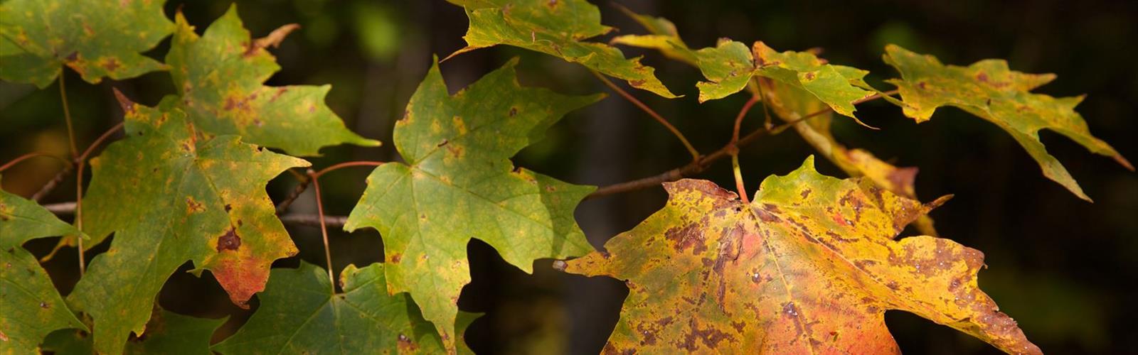
The trail corridor supports diverse plant communities characteristic of Vermont's Green Mountains ecosystem. Spring brings wildflowers like trillium and bloodroot to the forest floor, while summer showcases the full green canopy of the deciduous forest. Fall transforms the area into a spectacular display of autumn colors, with maples and birches providing brilliant reds, oranges, and yellows.
Wildlife sightings along the trail may include white-tailed deer, red squirrels, and various bird species such as woodpeckers, nuthatches, and seasonal warblers. The stream environment near the falls attracts different species, and the pools below the falls may harbor brook trout and other aquatic life.
Terrain and Conditions
The trail surface varies from well-packed earth in the initial sections to more challenging rocky terrain as you approach the falls. Root systems from large trees cross the path in several locations, requiring attention to foot placement. Stream crossings may be necessary depending on recent weather conditions and seasonal water levels.
The area around the falls can be particularly slippery due to constant moisture from spray and mist. Rocks near the water's edge are often covered with algae and moss, making them treacherous for those attempting to get closer views. Proper footwear with good traction is essential for safe navigation of these conditions.
Seasonal Considerations
Each season offers a unique perspective on Thundering Brook Falls. Spring provides the most dramatic water flow as snowmelt swells the brook to its annual peak. Summer offers comfortable hiking conditions and lush green surroundings, though water levels may be lower. Fall combines spectacular foliage with moderate water flow, creating ideal conditions for photography.
Winter access may be challenging due to snow and ice conditions. The falls often develop impressive ice formations during cold periods, but extreme caution is required when visiting in winter conditions due to slippery surfaces and potential hazards from falling ice.
Access and Logistics
The trailhead provides the starting point for this adventure into Vermont's mountain wilderness. Parking availability may be limited during peak seasons, particularly during fall foliage season when visitor numbers increase significantly. Early morning starts often provide the best chance of securing parking and experiencing the falls with fewer crowds.
The trail is suitable for hikers with moderate experience who are comfortable navigating uneven terrain and potentially wet conditions. While the route doesn't require technical climbing skills, the rocky sections near the falls demand careful attention and sure footing.
What Makes This Trail Special
Thundering Brook Falls Trail stands out among Green Mountains hiking destinations for its combination of accessible forest hiking and dramatic natural payoff. The falls themselves represent one of the more impressive water features in this region of Vermont, offering a powerful display of natural forces that have been carving this landscape for thousands of years.
The trail provides an excellent introduction to Vermont's mountain ecosystems while delivering a rewarding destination that justifies the effort required to reach it. The combination of forest diversity, geological interest, and the spectacular falls creates a complete hiking experience that showcases the best of what the Green Mountains have to offer.
The Essential Hiking Checklist
Everything you need for your next hike. Bilingual, printable, 1 page.
Get your free hiking checklistRecommended gear for this trail
As an Amazon Associate I earn from qualifying purchases.


Ready to go?
Everything you need to know before you goStarting Point
The thundering brook falls trail is located in the town of Killington, Vermont. To get to the trailhead, take exit 9 from Interstate 91 and head east on Route 4. The trailhead is located at the end of the road.
When?
How much?
As an Amazon Associate I earn from qualifying purchases.
Affiliate links — LGPO may earn a commission at no extra cost to you.
- Hiking shoes Essential
- → Salomon Elixir Tour Mid WP · 203.38 $
- Layered clothing Essential
- Rain jacket Essential
- Trekking poles
- → Black Diamond Trail Ergo Cork · 69.99 $
- Headlamp
- → Petzl Actik Core 625 · 103.95 $
FAQ - Frequently asked questions
Everything you need to knowSimilar hikes nearby
Discover other trails you might enjoy
Mount Abraham, Vermont
Green Mountains
Snowdon Peak, Vermont
Green Mountains
Slate Valley Trails
Green Mountains
Flatlander Farm
Green Mountains
Deer Leap Trail
Green Mountains
Killington Peak
Green Mountains
Hiking near Montpelier
0 trails to explore ~66 km away
We work hard to provide the most up-to-date and error-free data possible. If something seems incorrect, let us know! Your contribution helps the whole community.
Hikers' opinions
Be the first to review!
No hiker has shared their experience yet. Share your impressions and help other hikers!