
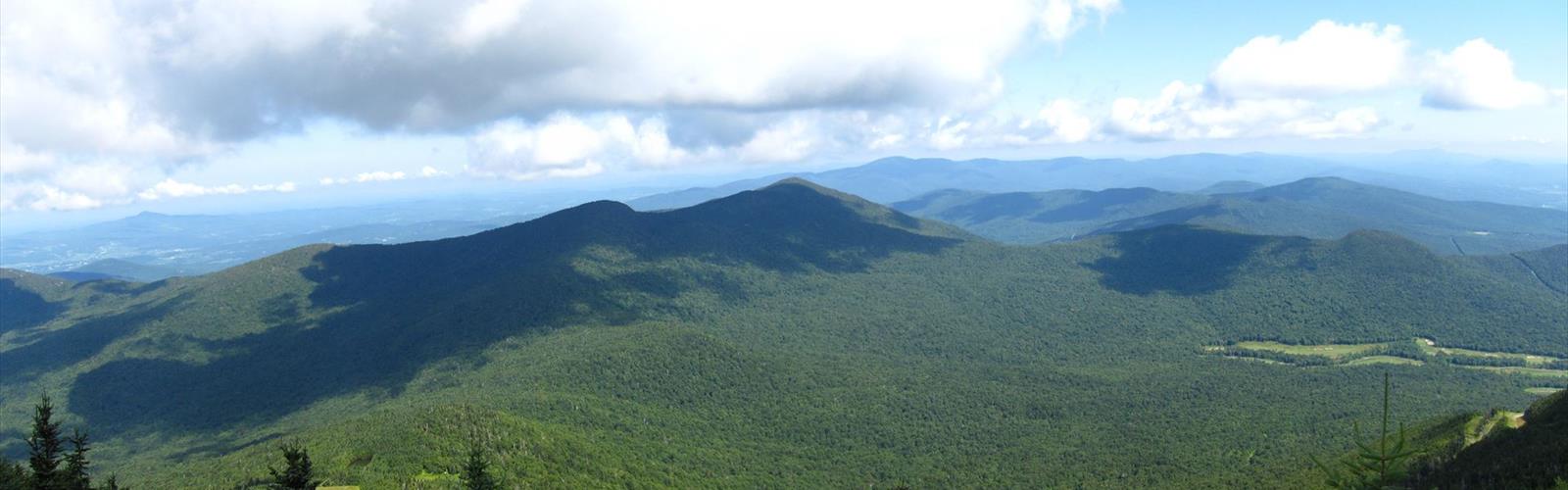

Ready to explore Big Jay? Here's everything you need to know before you go!
Discover the trail
Trail description
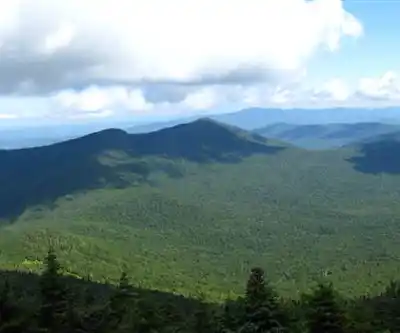
Big Jay is a 3,786 ft (1,154 m) mountain in the northern Green Mountains of Vermont, located on the border of Franklin and Orleans counties.
The summit of Big Jay is the highest point of Franklin County. Big Jay is flanked to the south by Little Jay (3,182 ft or 970 m), and to the northeast by Jay Peak (3,865 ft or 1,178 m), the highest summit of the Jay Peak complex. Jay Peak is named for John Jay (1745–1829) of New York, one of the "founding fathers" of the United States.
Big Jay stands within the watershed of the Trout River, a tributary of the Missisquoi River, which drains into Lake Champlain, thence into Canada's Richelieu River, the Saint Lawrence River, and into the Gulf of Saint Lawrence. The east and southeast sides of Big Jay drain into Jay Brook, which joins the South Branch Trout River in Montgomery to form the Trout River. The southwest and western sides of Big Jay drain into Hannah Clark Brook, and thence into the Trout. The northern end of Big Jay drains into Black Falls Brook, and thence into the Trout.
There is no official hiking trail on Big Jay, although there is a herd path to the summit from Jay Peak. There is also a summit register. In the summer of 2007 two men cut an illegal ski trail several hundred yards down the eastern side of the protected habitat. The offense carries a maximum $5,000 fine and five years in jail. Hikers and skiers have been encouraged to stay away from the scar caused by the vandalism so that the area can recover.
Free
1 pages
The Essential Hiking Checklist
Everything you need for your next hike. Bilingual, printable, 1 page.
Get your free hiking checklistRecommended gear for this trail
As an Amazon Associate I earn from qualifying purchases.
LGPO Pick

Salomon
Elixir Tour Mid WP
Waterproof mid-height boot ideal for rocky terrain
203.38 $


Affiliate links — LGPO may earn a commission at no extra cost to you.
Ready to go?
Everything you need to know before you goWhen?
Opening hours
No information
Varies by season
Best season
Fall
Spectacular colors
Best time
Early morning
Less crowded
Weather (next days)
Loading
How much?
Entry fees
Adult
Not available
Child
—
What to bring?
As an Amazon Associate I earn from qualifying purchases.
Affiliate links — LGPO may earn a commission at no extra cost to you.
Gear
- Hiking shoes Essential
- → Salomon Elixir Tour Mid WP · 203.38 $
- Layered clothing Essential
- Rain jacket Essential
- Trekking poles
- → Black Diamond Trail Ergo Cork · 69.99 $
- Headlamp
- → Petzl Actik Core 625 · 103.95 $
Water & food
2L minimum
No water point on the trail
Bring energy snacks for a 4h+ hike
Good to know
Safety
Download the GPX before you go
Limited cellular coverage on the trail
Slippery after rain
Be careful on rocky sections
In an emergency
Emergency
911
Parking GPS
44.9158, -72.5405939
Center
Not available
FAQ - Frequently asked questions
Everything you need to knowNo, Big Jay has no visitor centre on site.
Didn't find your answer?
Similar hikes nearby
Discover other trails you might enjoy

Vermont Association of Snow Travelers
Central Vermont
1h30
300 m
Intermediate
Northern Forest Canoe Trail
Central Vermont
740 km
Multiple days
1 m
Advanced
Sterling Pond Trail
Central Vermont
2.4 km
1h30
305 m
Intermediate
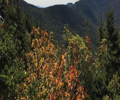
Lake Mansfield Trout Club
Central Vermont
3 km
1h30
300 m
Beginner
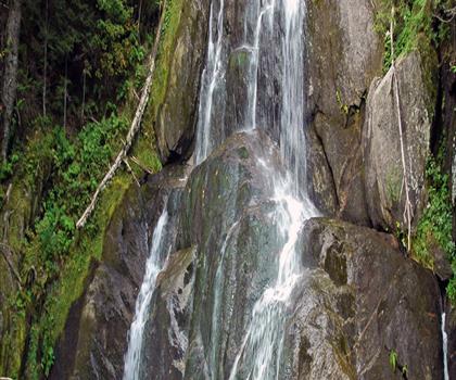
Moss Glen Falls
Central Vermont
1.6 km
<1 hour
107 m
Beginner
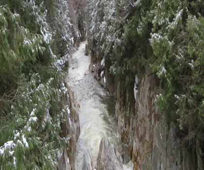
Mill Trail
Central Vermont
1.6 km
45min
91 m
Beginner
Top 10 best hiking in Central Vermont
Our ranking based on hiker reviews
Hiking near Stowe
0 trails to explore ~51 km away
Did you spot an error?
We work hard to provide the most up-to-date and error-free data possible. If something seems incorrect, let us know! Your contribution helps the whole community.
Hikers' opinions
Be the first to review!
No hiker has shared their experience yet. Share your impressions and help other hikers!