

Ready to explore Devil's Gulch? Here's everything you need to know before you go!
Discover the trail
Trail description
Devil's Gulch is one of those trails in central Vermont that earns its name. This narrow, rocky gorge cuts through dense forest and delivers the kind of rugged, intimate terrain that reminds you why you lace up your boots in the first place. It's not a summit hike — it's a gorge hike, and that distinction matters. The experience here is defined by close canyon walls, mossy boulders, and the sound of water echoing through tight passages rather than sweeping panoramic views.
The Terrain
The gulch itself is the main event. As you descend into it, the trail narrows and the walls close in around you. The rock faces are draped in moss and ferns, and the light filters down in a way that makes the whole place feel a bit otherworldly, especially on overcast days. The footing gets technical in spots — there are roots, wet rocks, and uneven surfaces that demand your attention. This isn't a trail where you can zone out and just walk.
The forest surrounding the gulch is classic northern hardwood and mixed conifer, the kind of dense canopy you find throughout central Vermont. The understory stays lush and green well into the season, fed by the moisture that collects in the gorge. After rain, the whole corridor drips and glistens, and small cascades appear along the rock walls.
What Makes Devil's Gulch Stand Out
Gorge hikes are relatively rare in Vermont compared to summit trails, and Devil's Gulch fills that niche well. Most hikers in the region are chasing elevation and views, but this trail offers something different — a ground-level, immersive experience in a geological feature that took thousands of years to form. The scale is human-sized rather than grand, which makes it feel personal in a way that big mountain hikes sometimes don't.
The rock formations inside the gulch are worth slowing down for. There are boulders wedged between the walls, overhangs that create natural shelters, and sections where the trail essentially threads through gaps in the rock. It's the kind of place that kids absolutely love, but adults find just as engaging once they stop rushing.
Trail Character and Difficulty
The trail involves some genuine scrambling and route-finding through the gorge section. Footing is often wet and slippery, so footwear with solid grip is important — trail runners or hiking boots with good traction are the right call here. Trekking poles can help on the steeper, rockier sections, particularly on the way back out.
The approach to the gulch is relatively straightforward, but once you're inside, the terrain becomes more demanding. The difficulty isn't about sustained elevation gain — it's about technical footing and navigating through a confined, uneven environment. That said, it's accessible to most hikers who are reasonably fit and comfortable on rocky terrain.
Flora and Wildlife
The microclimate inside the gulch supports plant life you won't find on the surrounding hillsides. Ferns, mosses, and lichens thrive on the damp rock surfaces, and the cool air that pools in the gorge keeps things green even during dry stretches. Keep an eye out for wildflowers along the trail edges in spring and early summer.
The dense forest and rocky habitat make this good territory for woodland birds, and the moisture-rich environment supports a healthy amphibian population. Salamanders are common under rocks and logs near the gulch — worth watching for, but leave them where you find them.
Practical Information
- Footwear: Waterproof hiking boots or trail runners with solid grip are strongly recommended. The rocks inside the gulch are frequently wet.
- Trekking poles: Useful, especially for the rockier sections and on the return trip.
- Timing: The gorge retains moisture and can be slippery after rain or in early spring when snowmelt is still running. Plan accordingly.
- Dogs: Check current trail regulations before bringing dogs, as policies can vary by land manager and season.
- Leave No Trace: The fragile moss and fern ecosystem inside the gulch is sensitive to foot traffic off the main path. Stay on trail through the gorge section.
Getting There
Devil's Gulch is located in central Vermont. Access details including parking and trailhead directions are best confirmed through current local sources before your visit, as road and parking conditions can change seasonally. The trailhead is the starting point for the gorge section, and signage on-site will orient you once you arrive.
Who This Trail Is For
Devil's Gulch works well for hikers who want something different from the standard Vermont summit experience. It's a strong choice for families with older kids who are comfortable on uneven terrain, for photographers drawn to dramatic rock and water features, and for anyone who finds gorge environments more compelling than open ridgelines. It's also a good option on days when higher elevations are socked in with clouds — the gulch experience doesn't depend on visibility the way summit hikes do.
If you've done the major peaks in the region and want to explore a different side of Vermont's landscape, Devil's Gulch delivers a genuinely distinct outing that holds up on its own terms.
The Essential Hiking Checklist
Everything you need for your next hike. Bilingual, printable, 1 page.
Get your free hiking checklistRecommended gear for this trail
As an Amazon Associate I earn from qualifying purchases.


Ready to go?
Everything you need to know before you goStarting Point
The devil's gulch trails are located in the town of West Windsor, Vermont. To get to the start of the trails, take Route 5 west from Rutland, Vermont. The trailhead is located on the left side of the road just past the West Windsor town line.
When?
How much?
As an Amazon Associate I earn from qualifying purchases.
Affiliate links — LGPO may earn a commission at no extra cost to you.
- Hiking shoes Essential
- → Salomon Elixir Tour Mid WP · 203.38 $
- Layered clothing Essential
- Rain jacket Essential
- Trekking poles
- → Black Diamond Trail Ergo Cork · 69.99 $
- Headlamp
- → Petzl Actik Core 625 · 103.95 $
FAQ - Frequently asked questions
Everything you need to knowSimilar hikes nearby
Discover other trails you might enjoy

Vermont Association of Snow Travelers
Central Vermont
Northern Forest Canoe Trail
Central Vermont
Sterling Pond Trail
Central Vermont
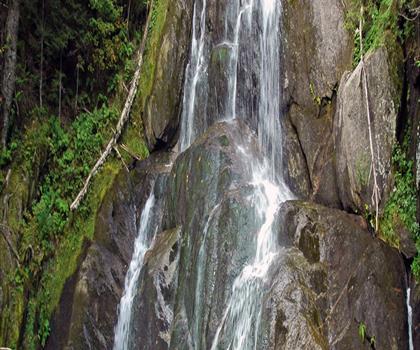
Moss Glen Falls
Central Vermont
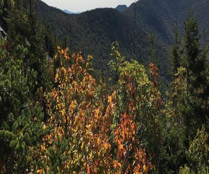
Lake Mansfield Trout Club
Central Vermont
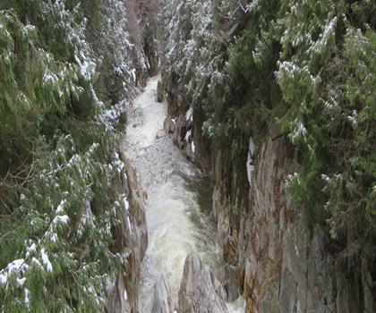
Mill Trail
Central Vermont
Hiking near Stowe
0 trails to explore ~32 km away
We work hard to provide the most up-to-date and error-free data possible. If something seems incorrect, let us know! Your contribution helps the whole community.
Hikers' opinions
Be the first to review!
No hiker has shared their experience yet. Share your impressions and help other hikers!