


Ready to explore Jay Mountains, New York? Here's everything you need to know before you go!
Discover the trail
Oh no! We don't have any photos 😢
This trail hasn't been captured yet. Be the first to share your adventure!Available trails
| TrailTrails | Dist.Distance | GainElevation | TimeDuration | Difficulty | GPX |
|---|---|---|---|---|---|
|
|
6.26 km | — | 1h30 | GPX |
GPX track: © OpenStreetMap contributors — ODbL 1.0
Trail description
The Jay Mountain Trail Experience
The main Jay Mountain Trail covers approximately 8.0 miles (12.9 km) round-trip with 2,565 feet (782 m) of elevation gain, making this a moderately challenging hike that typically takes 4 to 6 hours to complete. The trail is well-suited for hikers with some experience who are ready to tackle a rewarding climb without the technical difficulties of the High Peaks. Note: The marked trail ends at Jay's western summit. From here, experienced hikers may continue via an unmarked and difficult herd path to Jay Mountain's eastern summit for an extraordinary ridge walk known locally as a 'highway in the sky.'
The ascent begins gradually through mixed forest, where the trail is well-defined and easy to follow. As you gain elevation, the terrain becomes more rugged and the grade steepens noticeably. The middle section of the hike takes you through some of the most beautiful forest in the region, with towering trees creating a natural cathedral overhead. During this portion, you'll cross several small streams and navigate around large boulders that add character to the landscape.
The final push to the summit involves some scrambling over rock faces and navigating through stunted trees that have been shaped by wind and weather. This section requires more attention to footing and route-finding, but the trail remains clear for those who take their time and stay alert.
The Essential Hiking Checklist
Everything you need for your next hike. Bilingual, printable, 1 page.
Get your free hiking checklistRecommended gear for this trail
As an Amazon Associate I earn from qualifying purchases.


Ready to go?
Everything you need to know before you goStarting Point
To access the hiking trails, head to the primary trailhead located on Jay Mountain Road. The parking area is situated at 783 Jay Mountain Road, Upper Jay, NY 12987. This is the main starting point for exploring the trails in this area.
When?
How much?
As an Amazon Associate I earn from qualifying purchases.
Affiliate links — LGPO may earn a commission at no extra cost to you.
- Hiking shoes Essential
- → Salomon Elixir Tour Mid WP · 203.38 $
- Layered clothing Essential
- Rain jacket Essential
- Trekking poles
- → Black Diamond Trail Ergo Cork · 69.99 $
- Headlamp
- → Petzl Actik Core 625 · 103.95 $
FAQ - Frequently asked questions
Everything you need to knowSimilar hikes nearby
Discover other trails you might enjoy

Algonquin Peak, New York
Adirondacks

Big Slide Mountain, New York
Adirondacks

Boundary Peak, New York
Adirondacks
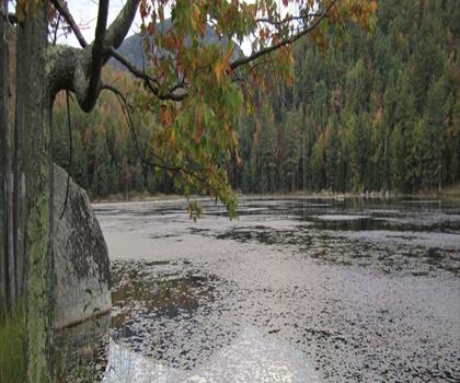
Crane Mountain
Adirondacks
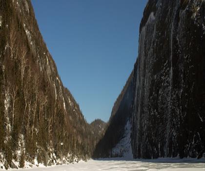
Avalanche Pass
Adirondacks
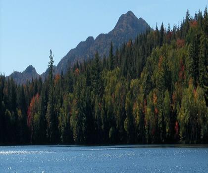
Ampersand Mountain, New York
Adirondacks
Hiking near Lake Placid
0 trails to explore ~24 km away
We work hard to provide the most up-to-date and error-free data possible. If something seems incorrect, let us know! Your contribution helps the whole community.
Hikers' opinions
Be the first to review!
No hiker has shared their experience yet. Share your impressions and help other hikers!