

Ready to explore Les Sentiers Naturels D'hudson? Here's everything you need to know before you go!
Discover the trail
Oh no! We don't have any photos 😢
This trail hasn't been captured yet. Be the first to share your adventure!Trail description
The network at a glance
In its Parks and Green Spaces Master Plan 2026-2036, the Town of Hudson writes that its trail network is about 23 kilometres long, spread across natural areas and parks. The Plan's inventory adds up the segments of each trail for a total of 23.5 km: that is the combined length of the network, not the length of a route. The Town publishes no loop, duration or elevation gain. The Plan notes flat terrain and short distances, minimal development and partial signage that makes orientation difficult. The trail lands belong to the Town, the Nature Conservancy of Canada, the Whitlock Golf & Country Club and other owners; access conditions trail by trail are not specified: unconfirmed.
The trails the Town names
On its Recreation page, the Town lists seven nature trails: Saint-Charles (between Forestview and Windcrest), Windcrest (between Saint-Charles and Carmel), Wellesley (between Cameron and Evergreen), Olympic (immediately after Thorncrest), Woodcroft, Como Gardens (Davidson Park and nature area) and the Gary Cirko Trail. The Master Plan's inventory names other segments: Davidson, Sandy Beach, Viviry River, Taylor Bradbury, Dwyer, Whitlock, Parkinson Trail, NCC, Labyrinthe, Gary Cirko and Alstonevale. The trails page has no map; the "Localisation et saisonnalité des sentiers" map (trail locations and seasonality) is in the Master Plan.
Sandy Beach
The Town of Hudson has bought the Sandy Beach site. Its page planned a "soft reopening of the site" in winter 2026 and does not say whether it has happened: access is unconfirmed. Among the measures the Town announces: dogs on a leash, restricted parking with permits, no swimming, no campfires or barbecues, and temporary closure of an area if its ecological quality is reduced. The Town also plans signage to keep visitors on the designated trails.
Dogs
According to the Town, dogs may go on all the pedestrian paths in the Town but must be leashed at all times; no more than two dogs at a time on trails. At Sandy Beach, by-law 770-2024 (adopted in May 2024, according to the council minutes) bars dogs from 9 a.m. to 5 p.m. in June, July and August. The Town's web page mentions only the leash, and a 2026 draft by-law amends other sections: the by-law in force is unconfirmed.
Parking, hours and seasons
The Town publishes no parking information for the trails, except at Sandy Beach (restricted parking with permits). No opening hours or access fee are published for the trails. The Town's French page mentions spring, summer, fall and winter; its English page, spring, summer and fall. The Master Plan notes that trails are well used either in winter or in summer, but rarely accessible and developed for both: the season of each trail is unconfirmed.
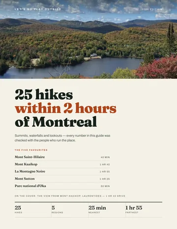
FREE GUIDE • PDF
25 hikes under 2 hours from Montreal, with drive time, distance and level.
Get my free guideGuide • checklist • taping videos • Sent by emailNewsletter optional
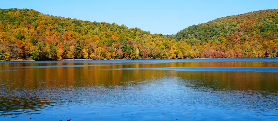
Photo: Jiaqian AirplaneFan, CC BY 3.0, via Wikimedia Commons
Services and amenities
The Town publishes no list of services for the trails: services unconfirmed.
Recommended gear for this trail
As an Amazon Associate I earn from qualifying purchases.


Ready to go?
Everything you need to know before you goStarting Point
No single trailhead or trail parking lot is published. The Town describes its nature trails by street: Saint-Charles (between Forestview and Windcrest), Windcrest (between Saint-Charles and Carmel), Wellesley (between Cameron and Evergreen), Olympic (after Thorncrest), Woodcroft, Como Gardens (Davidson Park) and the Gary Cirko Trail. Information: Town of Hudson, 450 458-5347 (hudson.quebec).
When?
The Town publishes no opening hours for the trails; the season of each trail is unconfirmed.
As an Amazon Associate I earn from qualifying purchases.
Affiliate links — LGPO may earn a commission at no extra cost to you.
- Hiking shoes Essential
- → Salomon Elixir Tour Mid WP · 203.38 $
- Layered clothing Essential
- Rain jacket Essential
- Trekking poles
- → Black Diamond Trail Ergo Cork · 69.99 $
- Headlamp
- → Petzl Actik Core 625 · 103.95 $
FAQ - Frequently asked questions
Everything you need to knowOutings near Les Sentiers Naturels D'hudson
Discover other trails you might enjoy

Parc national d'Oka
Laurentides · 7.8 km away

Les Forestiers-de-Saint-Lazare Nature Park
Montérégie · 9.7 km away

Mont Rigaud
Montérégie · 10.8 km away
Mont Rigaud
Montérégie · 14.0 km away

Arboretum Morgan
Montréal · 17.6 km away

Zoo Ecomuseum
Montréal · 18.2 km away
Hiking near Laval
107 trails to explore ~38 km away
We work hard to provide the most up-to-date and error-free data possible. If something seems incorrect, let us know! Your contribution helps the whole community.
Hikers' opinions
Be the first to review!
No hiker has shared their experience yet. Share your impressions and help other hikers!