

Ready to explore Parc ÉCO Laurentides (CTEL) - Centre Touristique Et Éducatif Des Laurentides? Here's everything you need to know before you go!
Discover the trail
Available trails
| Trails | Distance | Elevation | Duration | Difficulty | GPX |
|---|---|---|---|---|---|
| 1.3 km | 0 m | 17min | Beginner | ||
| 0.6 km | 0 m | 15min | Beginner | ||
| 0.7 km | 0 m | 15min | Beginner | ||
| 4.7 km | 0 m | 1h | Beginner | ||
| 0.6 km | 0 m | 15min | Beginner | ||
| 0.5 km | 0 m | 15min | Beginner | ||
| 1.1 km | 0 m | 15min | Intermediate | ||
| 6 km | 150 m | 1h30 | Advanced | ||
| 2 km | 180 m | 43min | Advanced |
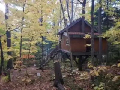
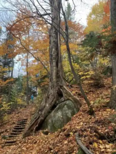
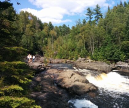
Trail description
{
"name_correction": "Update references from 'Parc ÉCO Laurentides (CTEL) — Centre Touristique Et Éducatif Des Laurentides' to clarify that the official current name is 'Parc Éco-Laurentides' (renamed in 2019), though it was previously known as Centre Touristique et éducatif des Laurentides.",
"location_clarification": "Add specific location: Saint-Faustin-Lac-Carré (confirmed by web sources), not just generic Laurentides region. Address: 5000 ch. Du Lac Caribou."
}
Services and amenities
This information may vary by season.
Recommended gear for this trail


Ready to go?
Everything you need to know before you goStarting Point
The trailhead for Parc ÉCO Laurentides is located in Saint-Sauveur, Montérégie. To get there, take Highway 15 North and exit at Exit 66. Follow the signs for Parc ÉCO Laurentides.
When?
How much?
- Hiking shoes Essential
- → Salomon Elixir Tour Mid WP · 203.38 $
- Layered clothing Essential
- Rain jacket Essential
- Trekking poles
- → Black Diamond Trail Ergo Cork · 69.99 $
- Headlamp
- → Petzl Actik Core 625 · 103.95 $
FAQ - Frequently asked questions
Everything you need to knowThe Essential Hiking Checklist
Everything you need for your next hike. Bilingual, printable, 1 page.
Download the free checklistSimilar hikes nearby
Discover other trails you might enjoy
Parc De La Rivière Doncaster
Laurentides

Parc Du Domaine Vert
Laurentides

Parc national d'Oka
Laurentides

Sommet Saint-Sauveur
Laurentides

Mont Condor
Laurentides

Montagne Du Dépôt Et Montagne Du Caribou
Laurentides
Hiking near Laval
97 trails to explore ~77 km away
We work hard to provide the most up-to-date and error-free data possible. If something seems incorrect, let us know! Your contribution helps the whole community.
Hikers' opinions
Be the first to review!
No hiker has shared their experience yet. Share your impressions and help other hikers!