
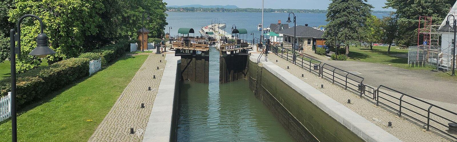
Ready to explore Lieu historique national du Canal-de-Chambly? Here's everything you need to know before you go!
Discover the trail
Trail description
The Canal-de-Chambly trail links the towns of Chambly, Carignan and Saint-Jean-sur-Richelieu. The official pages give two lengths: 20 km in the activities overview, and 19 km in the section on parks and trails, which describes the former towpath. This route was once dedicated to the horse drivers who pulled barges along the canal, and the canal is described as a witness to more than a century of history.
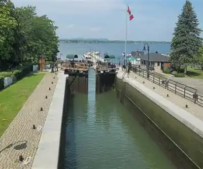
The trail is described as linear and flat. On foot or by bicycle, it lets visitors admire the varied and colourful landscapes of the Montérégie. Along the river, you can watch the locks and the boats sailing calmly past. Visitors can also explore Vieux-Chambly and Vieux-Saint-Jean on a walk, and come watch the lock operations by bicycle, on foot or by boat.
The trail is part of the Sentier transcanadien (Trans Canada Trail) and of Route verte no 1. It also allows riders to reach Route verte no 2 from Saint-Jean-sur-Richelieu. A 110 km loop is possible by taking the Montérégiade, Route des Champs and Canal-de-Chambly bike paths. Tourisme Montérégie has developed cycling loops. The trail is maintained from 15 April to 15 November and remains accessible at all times. In winter, the site highlights snowshoeing and cross-country skiing.
Along the canal, large green spaces invite visitors to stop for picnics with family or friends. On site there are picnic tables, parking areas, public telephones, toilets and drinking fountains. The areas have no shelters, and fires and barbecues are prohibited. Pets are welcome as long as they stay on a leash at all times.
Parc des Ateliers, located in Chambly upstream of lock no 3, is an exceptional site for family and friends picnics. Picnic tables and chairs are set up at the Place des Barges to watch boaters, and an electrical hookup is offered to boaters who want to moor overnight. Parc de l'écluse no 9, in Vieux-Saint-Jean, has picnic tables, toilets, a water point and wireless internet access.
The canal is described as a bucolic place that you learn to discover and appreciate. Its proximity to the Richelieu River allows migratory birds to be observed during their spring and autumn journeys. Visitors are invited to bring their binoculars.
The canal can also be enjoyed by canoe, kayak and SUP, with launching, a navigation sticker and a seasonal lock permit. Fishing from the banks is possible, and red chairs are placed along the canal. In winter, the site mentions introductory activities, a winter trail, a skating rink and other winter sports.
The site invites visitors to consult the rules to follow for a safe visit. Parks Canada commits to managing its operations to ensure the ecological and commemorative integrity of Canada's national parks.
FREE GUIDE • PDF
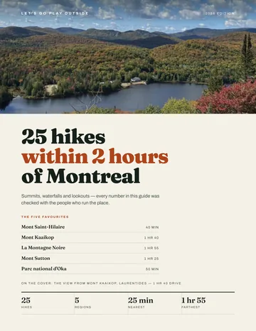
25 hikes under 2 hours from Montreal, with drive time, distance and level.
Get my free guideGuide • checklist • taping videos • Sent by emailNewsletter optional
Photo: Jiaqian AirplaneFan, CC BY 3.0, via Wikimedia Commons
Recommended gear for this trail
As an Amazon Associate I earn from qualifying purchases.


Ready to go?
Everything you need to know before you goStarting Point
The trail links the towns of Chambly, Carignan and Saint-Jean-sur-Richelieu; the official page does not specify a starting point.
When?
As an Amazon Associate I earn from qualifying purchases.
Affiliate links — LGPO may earn a commission at no extra cost to you.
- Hiking shoes Essential
- → Salomon Elixir Tour Mid WP · 203.38 $
- Layered clothing Essential
- Rain jacket Essential
- Trekking poles
- → Black Diamond Trail Ergo Cork · 69.99 $
- Headlamp
- → Petzl Actik Core 625 · 103.95 $
FAQ - Frequently asked questions
Everything you need to knowSimilar hikes nearby
Discover other trails you might enjoy

Parc Michel-Chartrand
Montérégie
Parc de la Cité
Montérégie
Mont-Saint-Bruno National Park
Montérégie
Mont St Hilaire
Montérégie
Mont Rougemont
Montérégie

Parc régional de Beauharnois-Salaberry
Montérégie
Hiking near Montreal
104 trails to explore ~23 km away
We work hard to provide the most up-to-date and error-free data possible. If something seems incorrect, let us know! Your contribution helps the whole community.
Hikers' opinions
Be the first to review!
No hiker has shared their experience yet. Share your impressions and help other hikers!