

Ready to explore Mont Saint-Grégoire? Here's everything you need to know before you go!
Discover the trail


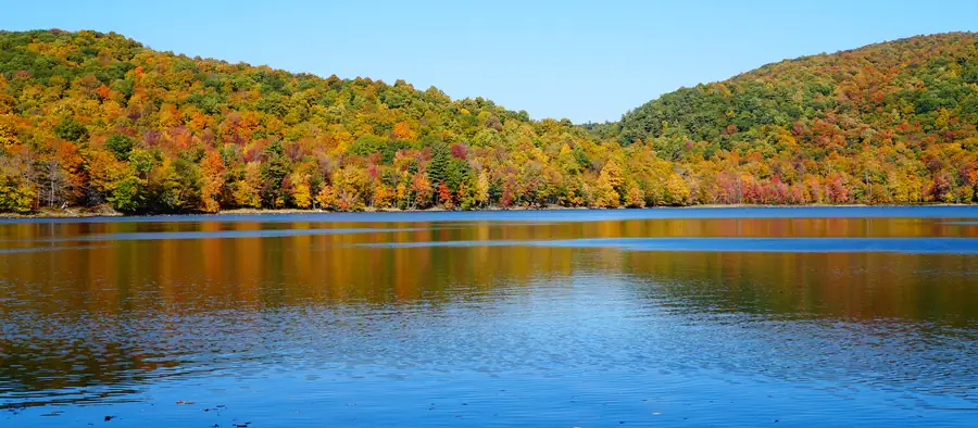
Photos: Hayden Soloviev — CC BY (Wikimedia Commons) Pierre Bona — CC BY-SA (Wikimedia Commons) PE Laporte — Google Maps (Google Maps) Jacinthe Fortier — Google Maps (Google Maps)
Available trails
| TrailTrails | Dist.Distance | GainElevation | Difficulty | GPX |
|---|---|---|---|---|
|
|
1.4 km | — | ||
|
|
0.7 km | — | ||
|
|
1 km | — | ||
|
|
0.2 km | — | ||
|
|
0.2 km | — | ||
|
|
0.5 km | — |
Trail description
Mont Saint-Grégoire is one of the Monteregian hills. CIME Haut-Richelieu (Centre d'interprétation du milieu écologique du Haut-Richelieu), which looks after its protection, describes it as the smallest of the Monteregian hills, yet its summit, at 251 metres, is higher than Mount Royal and Mont Saint-Bruno. The mountain is an almost perfectly cylindrical intrusion 680 m in diameter, and its 200-metre drop over a small area makes the topography sharply pronounced.
A Protected Area
CIME protects 69 hectares in perpetuity, 25% of the forested massif, summit included. The Government of Quebec officially recognizes part of these lands as a private nature reserve. The site is reserved for hiking and for educational activities supervised by CIME staff; visitors must stay on the marked trails at all times.
The Trails
CIME describes its trails as very steep and rocky and suggests allowing 1 to 2 hours, depending on your physical ability and whether young children are with you. Its trail map gives the length of each trail, one way only:
- Le Panorama: 1.0 km
- La Carrière: 1.4 km
- La Friche: 0.7 km
- Les Arènes: 0.5 km
- Le Raccourci: 0.2 km
- Le Petit Sommet: 0.2 km
The elevation change of each trail is not published; the 200 m figure is that of the mountain.
Natural Environment
The mountain carries two types of forest stands: maple–hickory forest and boreal oak forest. At the summit, the vegetation is shrubby. CIME reports white-tailed deer, raccoon, groundhog and red fox among the mammals, and wood thrush, black-throated blue warbler and scarlet tanager among the birds. The cliffs provide suitable nesting habitat for the peregrine falcon.
Access, Tickets and Rules
The trails are open every day. The hours CIME publishes for November 2026 to March 2027 run from 8:30 a.m. to 3 p.m. (3:30 p.m. from January 23 to March 7, 2027), with closures on December 24, 25 and 31, 2026 and January 1, 2027. You must have left the parking area no later than one hour after closing time. Tickets are sold at the reception only, with no reservation, in cash or by debit card; credit cards are not accepted. A reservation is required for any group of 15 people or more.
Pets, including dogs on a leash, are not allowed. Hunting, fires, camping, climbing, cycling, ATVs, hang gliding, paragliding and operating a drone or remote-controlled vehicle are also prohibited. Take all your garbage with you and do not pick or remove any natural element.
Crampon, Pole and Baby Carrier Rentals
CIME rents crampons (adult $10.25, child aged 5 to 17 $7.25), poles (adult $9.25) and baby carriers (adult $13.50), taxes included. The rate covers 2 hours, plus $5 for each additional hour, with a reduced rate for members.
FREE GUIDE • PDF
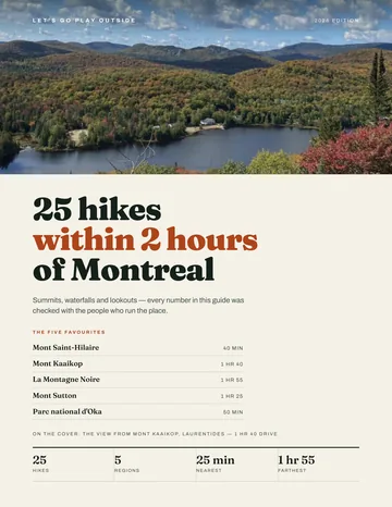
25 hikes under 2 hours from Montreal, with drive time, distance and level.
Get my free guideGuide • checklist • taping videos • Sent by emailNewsletter optional
Photo: Jiaqian AirplaneFan, CC BY 3.0, via Wikimedia Commons
Services and amenities
Recommended gear for this trail
As an Amazon Associate I earn from qualifying purchases.


Ready to go?
Everything you need to know before you goStarting Point
The only authorized access to the trails is from 16 chemin du Sous-Bois, Mont-Saint-Grégoire, Quebec J0J 1K0. Tickets are sold at the reception. CIME phone: 450 346-0406.
When?
Every day, 8:30 a.m. to 3 p.m. (3:30 p.m. from January 23 to March 7, 2027). Closed December 24, 25 and 31, 2026 and January 1, 2027. Leave the parking area no later than one hour after closing. Hours published by CIME for November 1, 2026 to March 7, 2027.
How much?
As an Amazon Associate I earn from qualifying purchases.
Affiliate links — LGPO may earn a commission at no extra cost to you.
- Hiking shoes Essential
- → Salomon Elixir Tour Mid WP · 203.38 $
- Layered clothing Essential
- Rain jacket Essential
- Trekking poles
- → Black Diamond Trail Ergo Cork · 69.99 $
- Headlamp
- → Petzl Actik Core 625 · 103.95 $
FAQ - Frequently asked questions
Everything you need to knowOutings near Mont Saint-Grégoire
Discover other trails you might enjoy
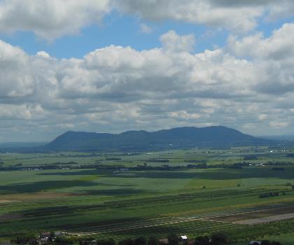
Mont Rougemont
Montérégie · 14.7 km away
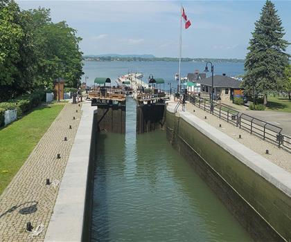
Lieu historique national du Canal-de-Chambly
Montérégie · 14.9 km away
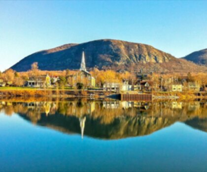
Mont St Hilaire
Montérégie · 20.8 km away
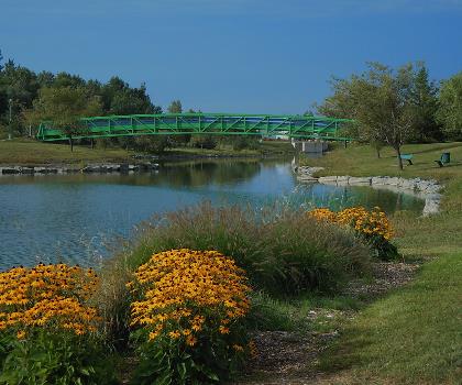
Parc de la Cité
Montérégie · 25.6 km away
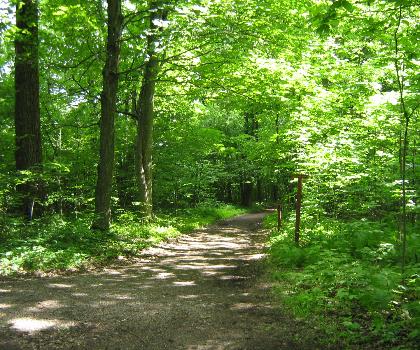
Mont-Saint-Bruno National Park
Montérégie · 26.7 km away

Parc André-J.-Côté
Montérégie · 30.3 km away
Hiking near Montreal
104 trails to explore ~37 km away
We work hard to provide the most up-to-date and error-free data possible. If something seems incorrect, let us know! Your contribution helps the whole community.
Hikers' opinions
Be the first to review!
No hiker has shared their experience yet. Share your impressions and help other hikers!