
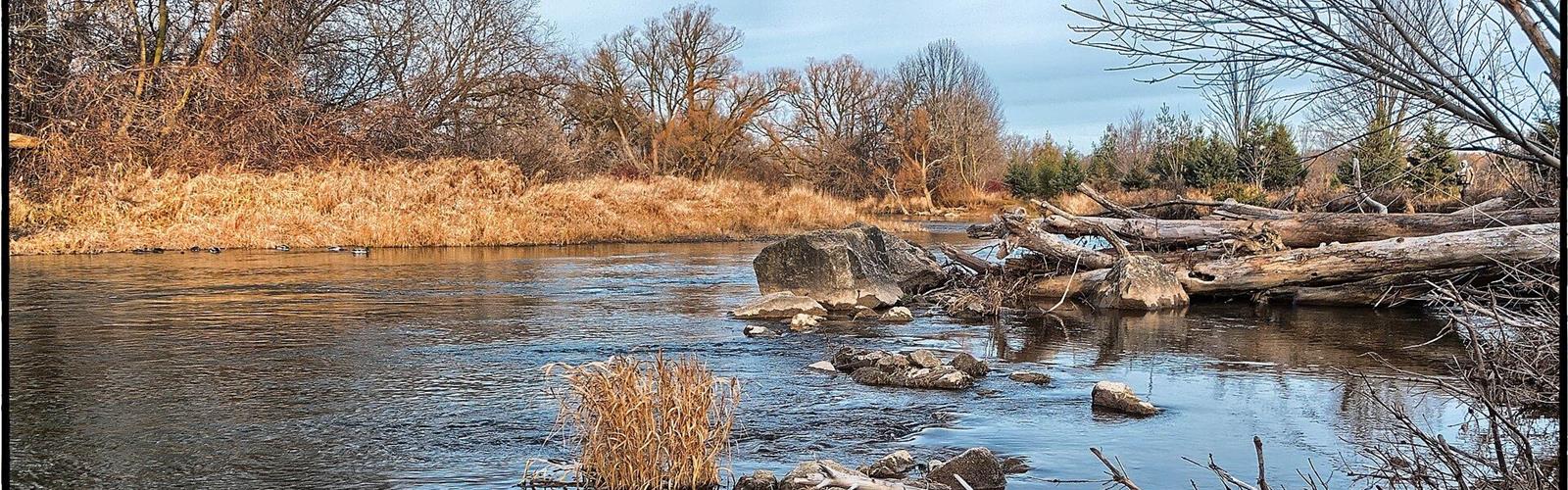
Ready to explore Meadowvale Conservation Area? Here's everything you need to know before you go!
Discover the trail
Available trails
| TrailTrails | Dist.Distance | GainElevation | Difficulty | GPX |
|---|---|---|---|---|
|
Beginner
|
1.8 km | — | Beginner |
Trail description
The Culham Trail
The Culham Trail is the park's main trail, from one end to the other (Ontario Hiking). It starts on pavement, crosses the Credit River on a long bridge (the bridge section mapped in OpenStreetMap measures 122 m, wood), then turns into a dirt path through the forest to the edge of the park. To the north it becomes the Davidson Trail in Brampton (Ontario Hiking).
Inside the park, the Culham from the north parking area to its mapped southern end measures 1.8 km in OpenStreetMap, one way. Ontario Hiking says you can cover most of the park in about an hour, two hours at most at a slow pace. The Culham is also a designated cycling route, so bikes share it.
Side paths
A worn path drops to the river. Ontario Hiking also mentions an unmarked secondary trail along the water that ends under Derry Road, where you have to turn back. OpenStreetMap maps many more dirt paths, several tagged as unofficial: stay on the marked route.
Facilities and activities
The Ontario Conservation Areas directory lists picnic facilities, a pavilion and a heritage site, and associates the park with birdwatching, fishing, cycling, fall colours and the salmon run. Ontario Hiking places washrooms near the fields.
Rules to know
OpenStreetMap shows the land as owned by Credit Valley Conservation (CVC); the Ontario Conservation Areas directory says the City of Mississauga manages the park. The City page publishes no rules specific to the park. CVC's general rules for its conservation areas, which do not name Meadowvale: dogs on a leash of 6 ft (1.8 m) or less, no alcohol, drugs or cannabis, no drones on its lands, no motorized vehicles, and stay on designated trails. For fishing, CVC asks you to respect the legal catch limit and not to cross property lines.
Hours and parking
The park is open daily from dawn to 11 p.m. (City of Mississauga). Ontario Hiking describes two parking lots: one at the entrance, at the north end of the park, the other further inside. The City page publishes no fee or parking rule.
Services and amenities
Everything you need for your next hike. Bilingual, printable, 1 page.
Get your free hiking checklistRecommended gear for this trail
As an Amazon Associate I earn from qualifying purchases.


Ready to go?
Everything you need to know before you goStarting Point
1081 Old Derry Road, Mississauga. Ontario Hiking describes an entrance at the north end of the park, with a second parking lot further inside. The Culham Trail starts on pavement, crosses the Credit River on a long bridge, then heads into the woods.
When?
How much?
As an Amazon Associate I earn from qualifying purchases.
Affiliate links — LGPO may earn a commission at no extra cost to you.
- Hiking shoes Essential
- → Salomon Elixir Tour Mid WP · 203.38 $
- Layered clothing Essential
- Rain jacket Essential
- Trekking poles
- → Black Diamond Trail Ergo Cork · 69.99 $
- Headlamp
- → Petzl Actik Core 625 · 103.95 $
FAQ - Frequently asked questions
Everything you need to knowOutings near Meadowvale Conservation Area
Discover other trails you might enjoy
Eldorado Park
York, Durham and Headwaters · 4.4 km away

Lake Aquitaine
York, Durham and Headwaters · 4.6 km away
Lake Wabukayne Trail
York, Durham and Headwaters · 5.9 km away
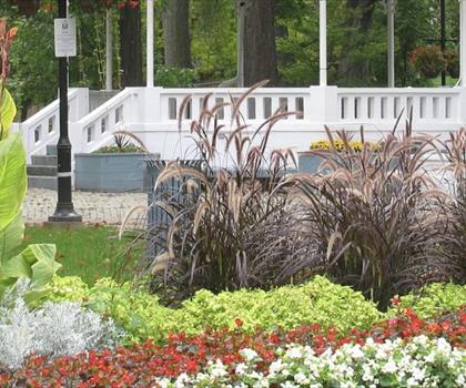
Gage Park
Greater Toronto Area · 6.5 km away
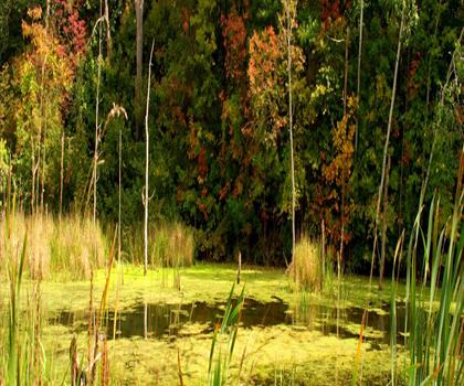
Riverwood
York, Durham and Headwaters · 8.4 km away
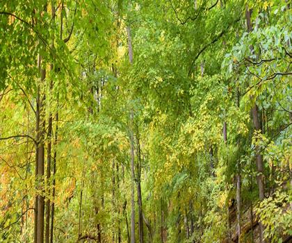
Culham Trail
York, Durham and Headwaters · 8.6 km away
Hiking near Mississauga
184 trails to explore ~8 km away
We work hard to provide the most up-to-date and error-free data possible. If something seems incorrect, let us know! Your contribution helps the whole community.
Hikers' opinions
Be the first to review!
No hiker has shared their experience yet. Share your impressions and help other hikers!