


Ready to explore Murphys Pinnacle, Ontario? Here's everything you need to know before you go!
Discover the trail

Trail description
Murphys Pinnacle rises in Dufferin County, Ontario, close to Shelburne, offering hikers rolling terrain with a total elevation of 511 metres. This summit stands out for its open views over the surrounding Ontario countryside, reached by a network of well-marked trails totalling 2.5 kilometres of main route.
The unique character of Murphys Pinnacle lies in its diversity of landscapes concentrated over a relatively short distance. The trails first wind through a mixed forest dominated by maples and oaks, creating a dense canopy that filters the light into shifting patterns. This forest cover gradually gives way to open clearings where the view widens, culminating in panoramic viewpoints that justify the effort of the climb.
The terrain varies considerably along the route, alternating between sections of well-packed earth and rocky passages that call for more attention. This diversity maintains interest throughout the hike, each turn revealing a new type of landscape or a different perspective on the region. The rocky sections, although they require some caution, do not present major technical difficulties for hikers of intermediate experience.
Wildlife and natural observations
The ecological richness of Murphys Pinnacle makes it an excellent site for observing local wildlife. White-tailed deer regularly frequent the area, particularly visible early in the morning or late in the afternoon in the clearings. The diversity of habitats, from dense undergrowth to open spaces, attracts an impressive variety of songbirds that fill the forest with their seasonal melodies.
Hikers equipped with binoculars can maximize their chances of observation, especially in the transition zones between forest and clearings where wildlife is particularly active. The variety of tree species also creates definite botanical interest, particularly spectacular during the autumn season.
Practical planning
The 2.5-kilometre main route is generally completed in two hours to two and a half hours, including time to enjoy the viewpoints and take a few breaks. This moderate duration makes it an excellent option for a morning or afternoon outing, leaving enough time to explore other attractions in the region if desired.
Free access to Murphys Pinnacle removes any financial constraint, allowing spontaneous or repeat visits depending on the seasons. The alternative trails offer the flexibility to create customized loops or to opt for out-and-back routes according to preferences and the day's energy level.
Families with children will find the trails generally accessible, although some rocky sections call for closer supervision of the youngest. The moderate distance and the variety of landscapes hold children's interest without exhausting them, making Murphys Pinnacle an excellent introduction to family hiking.
Dog owners can include their four-legged companions in the adventure, provided they are kept on a leash at all times. This policy ensures the safety of all users while preserving the tranquility of local wildlife.
Seasonal conditions and optimal timing
The temperate climate of the region makes Murphys Pinnacle accessible from spring to autumn, each season bringing its own attractions. Spring reveals the rebirth of the forest with the emergence of new foliage and increased wildlife activity. Summer offers stable conditions and pleasant temperatures under the forest canopy.
Autumn truly transforms the Murphys Pinnacle experience, when the maples and oaks put on blazing colours that set the landscape ablaze. This period naturally attracts more visitors, but the size of the site generally makes it possible to find moments of tranquility, especially on weekdays or early in the morning.
Equipment and preparation
Sturdy hiking shoes are the most crucial piece of equipment, particularly for negotiating the rocky sections safely. The varied and sometimes uneven terrain calls for good ankle support and a grippy sole.
Dressing in layers proves wise, as the forest microclimate can differ noticeably from conditions in the clearings. A reusable water bottle is amply sufficient for this short hike, although it is always wise to bring slightly more than necessary.
Binoculars considerably enrich the experience, making it possible to observe wildlife from a respectful distance and to appreciate the details of the landscape from the viewpoints. A map or a portable GPS, although the trails are well marked, offers additional safety and helps plan route variations.
A basic first-aid kit, a charged phone with GPS, and the habit of telling someone close to you about your route complete the standard safety precautions. Checking the weather conditions before departure makes it possible to adjust equipment and to postpone the outing if necessary, which is particularly important on terrain that can become slippery in wet weather.
Recommended gear for this trail
As an Amazon Associate I earn from qualifying purchases.


Ready to go?
Everything you need to know before you goStarting Point
To access the hiking trails, head to the designated parking lot located at 795122 3rd Line EHS, Mono, Ontario. This is the primary starting point for the trails in the area.
When?
How much?
As an Amazon Associate I earn from qualifying purchases.
Affiliate links — LGPO may earn a commission at no extra cost to you.
- Hiking shoes Essential
- → Salomon Elixir Tour Mid WP · 203.38 $
- Layered clothing Essential
- Rain jacket Essential
- Trekking poles
- → Black Diamond Trail Ergo Cork · 69.99 $
- Headlamp
- → Petzl Actik Core 625 · 103.95 $
FAQ - Frequently asked questions
Everything you need to know
25 hikes under 2 hours from Montreal
Distance, elevation, parking and season for each one. The ones we go back to ourselves.
Get the guideAlternatives and suggestions
Similar hikes nearby
Discover other trails you might enjoy

North Maple Regional Park
York, Durham and Headwaters

Lake Aquitaine
York, Durham and Headwaters

Hockley Valley
York, Durham and Headwaters

Eldred King Woodlands
York, Durham and Headwaters
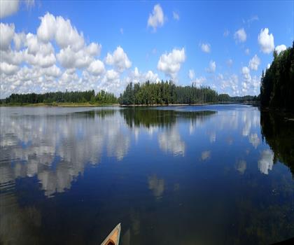
Vicki Barron Lakeside Trail
York, Durham and Headwaters
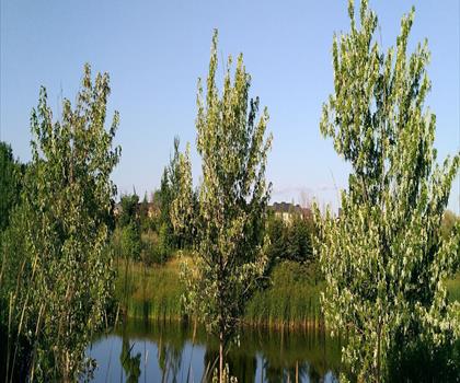
Wismer Park
York, Durham and Headwaters
Hiking near Barrie
146 trails to explore ~47 km away
We work hard to provide the most up-to-date and error-free data possible. If something seems incorrect, let us know! Your contribution helps the whole community.
Hikers' opinions
Be the first to review!
No hiker has shared their experience yet. Share your impressions and help other hikers!