


Ready to explore Caledon Mountain, Ontario? Here's everything you need to know before you go!
Discover the trail
Oh no! We don't have any photos 😢
This trail hasn't been captured yet. Be the first to share your adventure!Trail description
Caledon Mountain sits within the heart of Ontario's Niagara Escarpment, in the York, Durham and Headwaters region. This area falls within a UNESCO World Biosphere Reserve, placing it among the world's most significant geological and ecological landscapes. Ancient limestone cliffs, rolling countryside, and dense hardwood forests define the character of this place — and once you're out on the trail, that combination delivers a hiking experience that feels genuinely distinct from the rest of southern Ontario.
The mountain's position along the escarpment creates dramatic elevation changes across a relatively compact area. You'll move between mature maple and oak forests, open meadowlands, and rocky outcrops that open up sweeping views across the agricultural heartland below. The terrain is classic escarpment hiking: steep climbs followed by gentler ridge walks, with the occasional scramble over exposed limestone ledges.
Trail Network and Terrain
The Bruce Trail forms the backbone of the hiking network at Caledon Mountain. The main trail follows the escarpment edge, delivering consistent elevation changes as it winds along the cliff face. Side trails branch off toward viewpoints, wooded valleys, and quieter sections well-suited for wildlife watching or a slower pace. The network covers a range of difficulty levels — some paths are gentle enough for families, while others involve steep ascents up the escarpment face that will push experienced hikers.
The elevation gain here reaches 443 meters, which reflects the real work involved in reaching the escarpment's highest points. That number is worth taking seriously even if the estimated time of around 1 hour 35 minutes sounds modest — the terrain demands steady footing and a bit of patience, especially on the steeper sections.
Trail surfaces shift considerably as you move through the area. Well-maintained dirt paths give way to rocky scrambles over exposed limestone, and root systems from mature trees create natural steps in many sections. Those roots and limestone surfaces become genuinely slippery after rain, so timing your visit around dry weather makes a real difference. Loose rock appears on steeper sections where ongoing erosion has done its work, so watch your step on descents.
Natural Features and Wildlife
The Niagara Escarpment's microclimate supports plant communities you won't find easily elsewhere in southern Ontario. Ancient cedars cling to cliff faces — some of them hundreds of years old — while rare ferns and wildflowers thrive in the cool, sheltered conditions the escarpment creates. Spring brings trilliums, wild leeks, and bloodroot to the forest floor. Fall turns the canopy into a full display of red and gold that draws visitors from across the region.
Wildlife is a consistent part of the experience here. White-tailed deer frequent the forest edges, particularly in early morning and evening. The bird life is varied and active — pileated woodpeckers and nuthatches are year-round residents, and spring migration brings waves of warblers through the area. Hawks and turkey vultures regularly soar along the escarpment, riding the thermal currents that build along the cliff face. In the rocky sections, chipmunks and squirrels are constant companions, and ravens can often be heard calling across the cliff walls.
Viewpoints and Photography
The escarpment position gives Caledon Mountain some genuinely strong viewpoints. From the ridge, you're looking out over farmland, woodlots, and distant development, with clear days extending sightlines toward Lake Ontario. These spots are at their best during fall color season and in winter when snow sharpens the landscape's contours.
The light plays well here throughout the day. Morning illuminates the eastern-facing slopes cleanly, while afternoon sun draws out the warm tones in the limestone. Within a single hike, you'll find intimate forest compositions, cliff-edge shots with real depth, and wide landscape views — enough variety to keep a camera busy for the full outing.
Seasonal Conditions
Spring hiking at Caledon Mountain means wildflowers and active bird migration, but also muddy trails and potentially challenging stream crossings as snowmelt works through the system. Summer brings full canopy cover and the most stable trail conditions overall. Fall is the busiest season for good reason — the color is exceptional and the hiking weather is crisp and comfortable.
Winter changes the character of the place significantly. Snow accumulation varies with elevation and exposure, and ice formation on cliff faces and rocky sections adds real hazard to the steeper terrain. Extra caution is warranted during cold months, and traction devices are worth carrying if you're heading out after a freeze-thaw cycle.
What to Bring and How to Prepare
Sturdy hiking boots with solid ankle support are the right call here — the rock scrambles and steep descents don't forgive light footwear. The limestone can be hard on knees during long descents, so trekking poles are worth considering if that's a concern for you. Water sources are limited along the escarpment, so carry enough for your full planned route.
Weather can shift quickly along the escarpment. Cliff-top sections experience stronger winds and different conditions than the sheltered valleys below, so layering makes sense regardless of the season. Before heading out, check current Bruce Trail conditions — some sections are periodically closed for maintenance or due to hazardous conditions, particularly during freeze-thaw periods when rockfall risk increases.
As part of the UNESCO Biosphere Reserve, the area carries real ecological sensitivity. Staying on marked trails protects the plant communities that make this place worth visiting in the first place — the escarpment's specialized ecosystems recover slowly from disturbance, so the standard leave-no-trace approach matters more here than in many other spots.
Recommended gear for this trail
As an Amazon Associate I earn from qualifying purchases.


Ready to go?
Everything you need to know before you goStarting Point
To access the hiking trails, you can start at several trailheads. One option is to head to the parking lot located at 1402 Queen Street West, Alton, Ontario. Another starting point is at the Forks of the Credit Provincial Park, with parking available at 17760 McLaren Road, Caledon Village, Ontario. Both locations provide convenient access to the trails in the area.
When?
How much?
As an Amazon Associate I earn from qualifying purchases.
Affiliate links — LGPO may earn a commission at no extra cost to you.
- Hiking shoes Essential
- → Salomon Elixir Tour Mid WP · 203.38 $
- Layered clothing Essential
- Rain jacket Essential
- Trekking poles
- → Black Diamond Trail Ergo Cork · 69.99 $
- Headlamp
- → Petzl Actik Core 625 · 103.95 $
FAQ - Frequently asked questions
Everything you need to know
25 hikes under 2 hours from Montreal
Distance, elevation, parking and season for each one. The ones we go back to ourselves.
Get the guideSimilar hikes nearby
Discover other trails you might enjoy

North Maple Regional Park
York, Durham and Headwaters
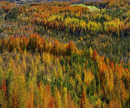
Murphys Pinnacle, Ontario
York, Durham and Headwaters

Eldred King Woodlands
York, Durham and Headwaters

Hockley Valley
York, Durham and Headwaters
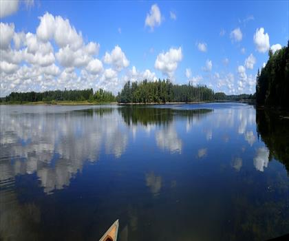
Vicki Barron Lakeside Trail
York, Durham and Headwaters
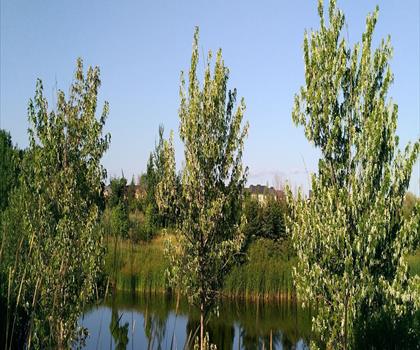
Wismer Park
York, Durham and Headwaters
Hiking near Mississauga
171 trails to explore ~39 km away
We work hard to provide the most up-to-date and error-free data possible. If something seems incorrect, let us know! Your contribution helps the whole community.
Hikers' opinions
Be the first to review!
No hiker has shared their experience yet. Share your impressions and help other hikers!