

Ready to explore Guelph Lake? Here's everything you need to know before you go!
Discover the trail
Trail description
Guelph Lake Conservation Area sits just outside the city of Guelph in Wellington County, managed by the Grand River Conservation Authority. It's one of those spots that punches well above its weight — close enough to Kitchener-Waterloo and Guelph to make a spontaneous weekday outing entirely reasonable, yet natural enough that you genuinely feel like you've left the suburbs behind once you're on the trail.
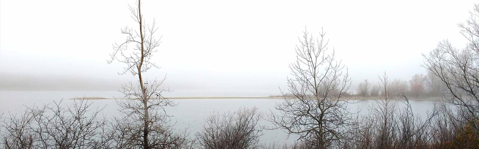
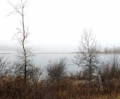
The reservoir at the center of the conservation area gives the whole place its character. The trails don't just pass near the water — they're shaped by it, curving along shoreline edges, dipping into forested coves, and opening onto meadows that slope down toward the lake. That variety is what keeps a roughly two-hour outing from feeling repetitive.
Terrain and Trail Character
The trail network here is genuinely accessible. With an elevation change of around 30 meters across the property, you're not dealing with any serious climbing — the terrain rolls gently rather than challenges. That makes Guelph Lake a solid choice for hikers who are newer to the activity, families with kids, or anyone looking for a comfortable outing that doesn't require trekking poles and a recovery day afterward.
The surface underfoot shifts as you move through different sections. Forested stretches tend to be packed earth, occasionally rooty or rocky in spots, while the more open sections near the meadows offer wider, smoother paths. After heavy rain, some of the lower-lying areas can get soft, so trail shoes with decent grip are worth wearing even if conditions look dry when you set out.
The forest cover is classic Ontario hardwood — maple, oak, and beech dominate, with the canopy doing a good job of filtering light in summer and putting on a serious show come fall. The meadow sections feel completely different: open sky, longer sightlines across the water, and a sense of space that contrasts nicely with the enclosed forest paths.
The Shoreline Experience
The sections of trail that follow the lake's edge are the highlight for most visitors. The water is calm — motorized boat traffic is restricted, which keeps things quiet — and on still mornings the reflections on the surface are genuinely striking. There are natural spots along the shore where it makes sense to stop, sit on a rock, and take a break without feeling like you're in anyone's way.
The lake's quieter coves, particularly away from the main beach and picnic areas, offer a more secluded feel. If you time your visit for early morning on a weekday, you can have long stretches of shoreline trail essentially to yourself.
Wildlife Along the Way
The mix of habitats — mature forest, open meadow, wetland edges, and lake shoreline — means the wildlife variety is genuinely good for a conservation area of this size. Deer are a regular sighting, especially in the meadow areas during early morning and evening. The bird life is a real draw: the diverse ecosystems support woodland species like woodpeckers and nuthatches in the forested sections, while the lake and its surrounding wetlands attract waterfowl and shorebirds. Spring migration brings songbirds through in numbers, and summer is reliable for observing nesting activity around the quieter parts of the lake.
Rabbits are common along the meadow edges, and the general health of the ecosystem — maintained through the GRCA's conservation management — gives the area a sense of genuine wildness that's easy to appreciate once you're away from the main facilities.
Combining Hiking with Time on the Water
Guelph Lake is one of those places where hiking and paddling pair naturally. The calm, protected water is well-suited to kayaking and canoeing, and the limited motorboat presence keeps conditions pleasant for paddle sports. A number of hikers extend their visit by getting out on the water after finishing the trails — the lake looks quite different from that perspective, and it's worth considering if you have the gear or can rent locally.
The shoreline also has informal spots scattered around where you can stop for lunch without needing a designated picnic table. These natural rest areas make it easy to build a longer, more relaxed outing rather than treating the hike as a point-to-point exercise.
Getting There and Planning Your Visit
The conservation area is easy to reach from both Guelph and Kitchener-Waterloo, with the drive from either city taking well under an hour. Parking is ample and positioned close to the main trail access points, so you're not adding a long walk just to reach the trailhead. The trails are well-marked, which makes navigation straightforward without needing to download a detailed map in advance — though checking the Grand River Conservation Authority website before you go is always a good idea for current trail conditions and any seasonal closures.
Trails are maintained year-round. Spring conditions can be muddy in lower sections, fall delivers the best color, and winter opens up the possibility of snowshoeing when there's sufficient snow cover on the ground.
With an estimated two hours and fifteen minutes to work through the trail network at a comfortable pace, Guelph Lake fits neatly into a half-day outing — long enough to feel worthwhile, short enough that you're not committing your entire day to the drive and the hike combined.
The Essential Hiking Checklist
Everything you need for your next hike. Bilingual, printable, 1 page.
Get your free hiking checklistRecommended gear for this trail
As an Amazon Associate I earn from qualifying purchases.


Ready to go?
Everything you need to know before you goStarting Point
The start of the trails at the guelph lake can be accessed by travelling to the guelph lake Conservation Area.
When?
How much?
As an Amazon Associate I earn from qualifying purchases.
Affiliate links — LGPO may earn a commission at no extra cost to you.
- Hiking shoes Essential
- → Salomon Elixir Tour Mid WP · 203.38 $
- Layered clothing Essential
- Rain jacket Essential
- Trekking poles
- → Black Diamond Trail Ergo Cork · 69.99 $
- Headlamp
- → Petzl Actik Core 625 · 103.95 $
FAQ - Frequently asked questions
Everything you need to knowSimilar hikes nearby
Discover other trails you might enjoy
Perth Harvest Pathway Milverton- G2G Rail Trail
Huron, Perth, Waterloo and Wellington
Huron Natural Area
Huron, Perth, Waterloo and Wellington
Health Valley Trail
Huron, Perth, Waterloo and Wellington

Mill Run Trail
Huron, Perth, Waterloo and Wellington
Rockwood Conservation Area
Huron, Perth, Waterloo and Wellington
Waterloo Park
Huron, Perth, Waterloo and Wellington
Hiking near Guelph
166 trails to explore ~6 km away
We work hard to provide the most up-to-date and error-free data possible. If something seems incorrect, let us know! Your contribution helps the whole community.
Hikers' opinions
Be the first to review!
No hiker has shared their experience yet. Share your impressions and help other hikers!