
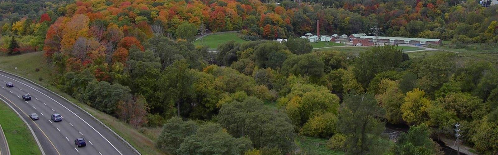
Ready to explore Crothers Woods Trails? Here's everything you need to know before you go!
Discover the trail
Available trails
| TrailTrails | Dist.Distance | GainElevation | Difficulty | GPX |
|---|---|---|---|---|
|
Beginner
|
0.7 km | — | Beginner | |
|
Beginner
|
1.3 km | — | Beginner |
Trail description
A mature forest in the Don Valley
Crothers Woods covers 52 hectares of mature maple-beech-oak forest. According to the City of Toronto, many of the trees are more than a century old. The woodland is an Environmentally Significant Area: its forest is diverse, mature and relatively undisturbed, and it holds wildflowers and tree species that are rare in the Toronto region.
The City's brochure invites visitors to look for, among others, butternut (a provincially endangered tree species), black walnut, eastern hemlock and sugar maple, as well as bloodroot, jack-in-the-pulpit, mayapple, trillium and trout lily. Birds can nest and breed here.
The Sun Valley Trail
The Sun Valley Trail is a 1.3 km granular-surfaced trail, 2.5 m wide, which the City classes as a multi-purpose beginner trail with one 100 m steep section. It circles the old Sun Valley landfill, which is being restored to forest.
According to the City's brochure, the site was used as a landfill until it closed in 1965. It was then covered with topsoil and allowed to revert to a natural state. Since 2004, about 5,000 trees have been planted there, connecting it to the adjacent forest of Crothers Woods.
Cottonwood Flats
The Cottonwood Flats Trail, 0.7 km long, granular-surfaced and 2 m wide, is classed in the City's brochure as a multi-purpose beginner trail; the September 2026 map marks it "Easiest", the lowest level in its legend. The site's industrial history goes back to the early 1800s: a mill operated there until 1858, an insulation manufacturing facility took over between 1940 and the early 1960s, and the site then stored excess snow cleared from Toronto roads until 1999. It has been left to renaturalize and now attracts many birds, including ground-nesting songbirds.
The other trails
The City's brochure describes about 9 km of multi-use dirt trails, one metre wide, with some steep sections, rated intermediate. The City's trails page says about 10 km, "ideal for hiking or mountain biking". In the brochure, only Sun Valley and Cottonwood Flats have a name and a length.
Rules and safety
- Use at your own risk: recreational trails are not regularly maintained and can be steep and slippery.
- Avoid the trails during and after rainfall or windstorms: trees or branches may fall.
- Dogs, people and bikes stay on the trails. Do not widen trails or cut new ones.
- Keep dogs on a leash at all times. Pick up after your dog.
- Trails are multi-use and bi-directional unless posted otherwise. Cyclists yield to pedestrians and wear helmets at all times; users going uphill have the right of way.
- Do not enter or cross railway corridors except at a signalled crossing.
- Respect trail closures and restoration areas.
Getting there
The City of Toronto's map (September 2026) shows the Thomas Hauser Memorial Trailhead near the Loblaws; its header gives the address "27 Redway Rd", without saying which point it refers to. It also shows the Lower Redway Trailhead, near the Lower Don Trail, and marks an area closed for Ontario Line construction near the Leaside Bridge. Opening hours and parking fees appear neither on the map nor in the brochure.
To report a hazard or a maintenance issue, the City asks you to contact 311. It also invites people to write to trails@toronto.ca to help with trail and habitat maintenance.
Everything you need for your next hike. Bilingual, printable, 1 page.
Get your free hiking checklistRecommended gear for this trail
As an Amazon Associate I earn from qualifying purchases.


Ready to go?
Everything you need to know before you goStarting Point
The Thomas Hauser Memorial Trailhead is shown on the City of Toronto map near the Loblaws. A second access, the Lower Redway Trailhead, is also shown.
When?
As an Amazon Associate I earn from qualifying purchases.
Affiliate links — LGPO may earn a commission at no extra cost to you.
- Hiking shoes Essential
- → Salomon Elixir Tour Mid WP · 203.38 $
- Layered clothing Essential
- Rain jacket Essential
- Trekking poles
- → Black Diamond Trail Ergo Cork · 69.99 $
- Headlamp
- → Petzl Actik Core 625 · 103.95 $
FAQ - Frequently asked questions
Everything you need to knowOutings near Crothers Woods Trails
Discover other trails you might enjoy
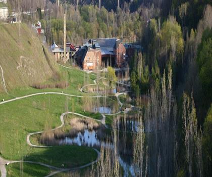
Don Valley Brick Works Park
Greater Toronto Area · 0.9 km away
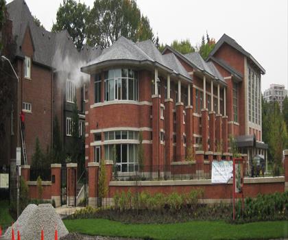
Moore Park Ravine
Greater Toronto Area · 1.6 km away
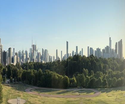
Riverdale Park East
Greater Toronto Area · 2.8 km away
Wilket Creek Park
Greater Toronto Area · 3.2 km away
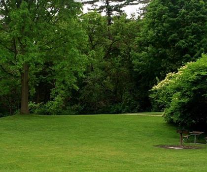
Sunnybrook Park
Greater Toronto Area · 3.2 km away

Monarch Park
Greater Toronto Area · 3.4 km away
Hiking near Toronto
183 trails to explore ~5 km away
We work hard to provide the most up-to-date and error-free data possible. If something seems incorrect, let us know! Your contribution helps the whole community.
Hikers' opinions
Be the first to review!
No hiker has shared their experience yet. Share your impressions and help other hikers!