
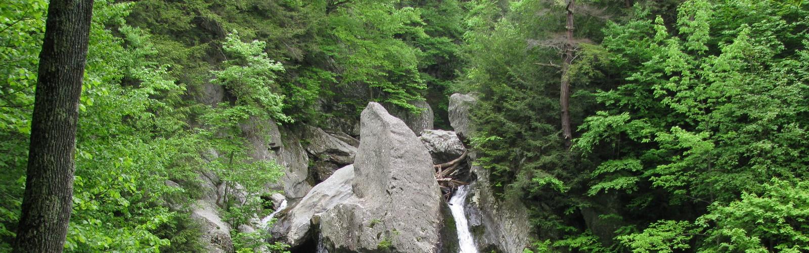

Ready to explore Bash Bish Falls State Park? Here's everything you need to know before you go!
Discover the trail
Oh no! We don't have any photos 😢
This trail hasn't been captured yet. Be the first to share your adventure!Trail description
Bash Bish Falls State Park sits tucked away in the southwestern corner of Massachusetts, where the state meets New York along the dramatic ridgelines of the Taconic Mountains. This compact park centers around Massachusetts' highest single-drop waterfall, an 80-foot cascade that plunges down a steep rock face into a crystal-clear pool below. The falls themselves are spectacular enough to draw visitors from across New England, but the park's real appeal lies in how accessible this natural wonder remains despite its remote mountain setting.
The waterfall forms the centerpiece of your visit here. Bash Bish Creek tumbles over a granite ledge, splitting around a massive boulder before reuniting in a thunderous drop that echoes through the narrow gorge. The pool at the base stays remarkably clear year-round, surrounded by smooth granite slabs that make perfect viewing platforms. During spring snowmelt and after heavy rains, the falls roar with impressive volume, while late summer reveals the intricate rock formations usually hidden behind the rushing water.
Trail Experience
The main Bash Bish Falls Trail provides the most direct route to the waterfall, following an easy-to-moderate path that most hikers complete comfortably. The trail begins from the parking area and winds downhill through mixed hardwood forest, losing elevation gradually as you approach the gorge. You'll walk on well-maintained dirt path for most of the route, though the final approach to the falls involves some rocky terrain and stone steps that can become slippery when wet.
As you descend toward the falls, the sound of rushing water grows steadily louder, building anticipation for that first glimpse of the cascade through the trees. The trail crosses the creek on a sturdy footbridge about halfway to the falls, offering your first clear view of the water as it flows toward its dramatic drop. From here, the path follows the creek more closely, with several informal viewpoints where you can pause to appreciate the increasing steepness of the surrounding gorge.
The park offers additional trails for hikers seeking more challenging terrain in the surrounding Taconic Mountains. These routes wind through diverse forest ecosystems, from dense hemlock groves in the valleys to mixed oak and maple stands on the higher slopes. The elevation changes provide opportunities to experience different microclimates and plant communities within a relatively small area.
Wildlife and Natural Features
The park's location in the Taconic Mountains creates habitat for diverse wildlife that you might encounter during your visit. White-tailed deer frequently browse in the forest clearings, especially during early morning and late afternoon hours. The mixed forest supports various bird species throughout the year, from seasonal warblers and thrushes during migration periods to year-round residents like woodpeckers, chickadees, and nuthatches.
The creek ecosystem supports its own community of wildlife, including various salamander species that thrive in the cool, moist environment around the falls. The granite bedrock and acidic soil create growing conditions that favor mountain laurel, which blooms spectacularly in late spring, and various fern species that carpet the forest floor in the shadier areas.
Seasonal Considerations
Each season transforms the character of Bash Bish Falls and the surrounding landscape. Spring brings the highest water levels as snowmelt feeds the creek, creating the most dramatic waterfall display of the year. The forest comes alive with wildflowers and emerging leaves, though trails can be muddy and stream crossings more challenging during this period.
Summer offers the most comfortable hiking conditions, with lush green forest providing shade along the trails. The waterfall maintains steady flow even during drier periods, and the cool microclimate around the falls provides welcome relief on hot days. This season also brings the heaviest visitor traffic, particularly on weekends.
Autumn transforms the surrounding hardwood forest into a spectacular display of red, orange, and yellow foliage that contrasts beautifully with the white granite of the falls. The cooler temperatures make for excellent hiking conditions, though you should be prepared for more variable weather as the season progresses.
Winter visits require more preparation and experience, as trails can become icy and the area around the falls particularly treacherous. However, the frozen formations around the waterfall create some of the most dramatic scenery of the year for those equipped to handle winter conditions safely.
Practical Information
Plan to spend one to two hours for a typical visit focused on reaching the falls and exploring the immediate area. This timeframe allows for a leisurely hike to the waterfall, time to enjoy the scenery and take photographs, and the return trip to your vehicle. Hikers interested in exploring the additional mountain trails should plan for a longer visit.
The park includes designated picnic areas where you can enjoy lunch while surrounded by the peaceful forest setting. These spots work well for families looking to extend their visit beyond just the hike to the falls. The combination of easy trail access and scenic picnic opportunities makes this an excellent choice for introducing children to hiking and waterfall exploration.
Photography enthusiasts will find Bash Bish Falls exceptionally rewarding, with the dramatic vertical drop and surrounding granite formations providing compelling subjects throughout the year. The falls face generally north, which means softer, more even lighting for much of the day, though the narrow gorge creates interesting shadow patterns that change as the sun moves overhead.
The park's location in the Berkshire region makes it an excellent addition to a longer exploration of western Massachusetts' outdoor attractions, and its proximity to the New York border means it often serves as a convenient stop for hikers exploring the broader Taconic Mountain region.
The Essential Hiking Checklist
Everything you need for your next hike. Bilingual, printable, 1 page.
Get your free hiking checklistRecommended gear for this trail
As an Amazon Associate I earn from qualifying purchases.


Ready to go?
Everything you need to know before you goStarting Point
The bash bish falls state park is located in Massachusetts. To get to the start of the trails, take Route 8 South to Route 22 West. Take a left onto Bash Bish Road and the park will be on your right.
When?
How much?
As an Amazon Associate I earn from qualifying purchases.
Affiliate links — LGPO may earn a commission at no extra cost to you.
- Hiking shoes Essential
- → Salomon Elixir Tour Mid WP · 203.38 $
- Layered clothing Essential
- Rain jacket Essential
- Trekking poles
- → Black Diamond Trail Ergo Cork · 69.99 $
- Headlamp
- → Petzl Actik Core 625 · 103.95 $
FAQ - Frequently asked questions
Everything you need to knowSimilar hikes nearby
Discover other trails you might enjoy
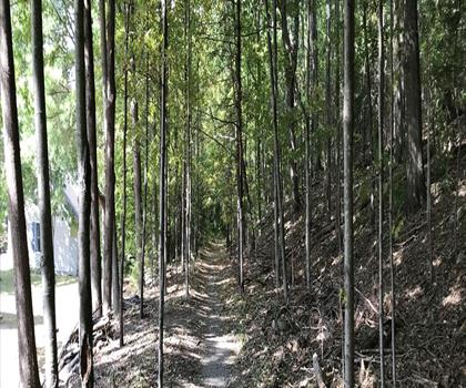
Monument Mountain
The Berkshires
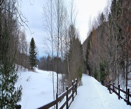
Ashuwillticook Rail Trail
The Berkshires

Thousand Acre Swamp
The Berkshires
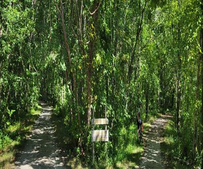
Lake Williams State Park
The Berkshires
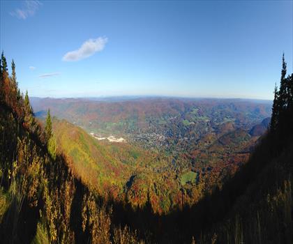
Mount Greylock State Reservation
The Berkshires
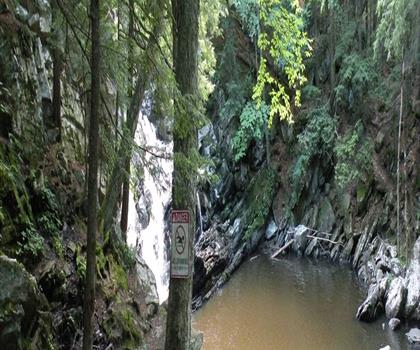
Wahconah Falls State Park
The Berkshires
Hiking near Poughkeepsie
0 trails to explore ~58 km away
We work hard to provide the most up-to-date and error-free data possible. If something seems incorrect, let us know! Your contribution helps the whole community.
Hikers' opinions
Be the first to review!
No hiker has shared their experience yet. Share your impressions and help other hikers!