
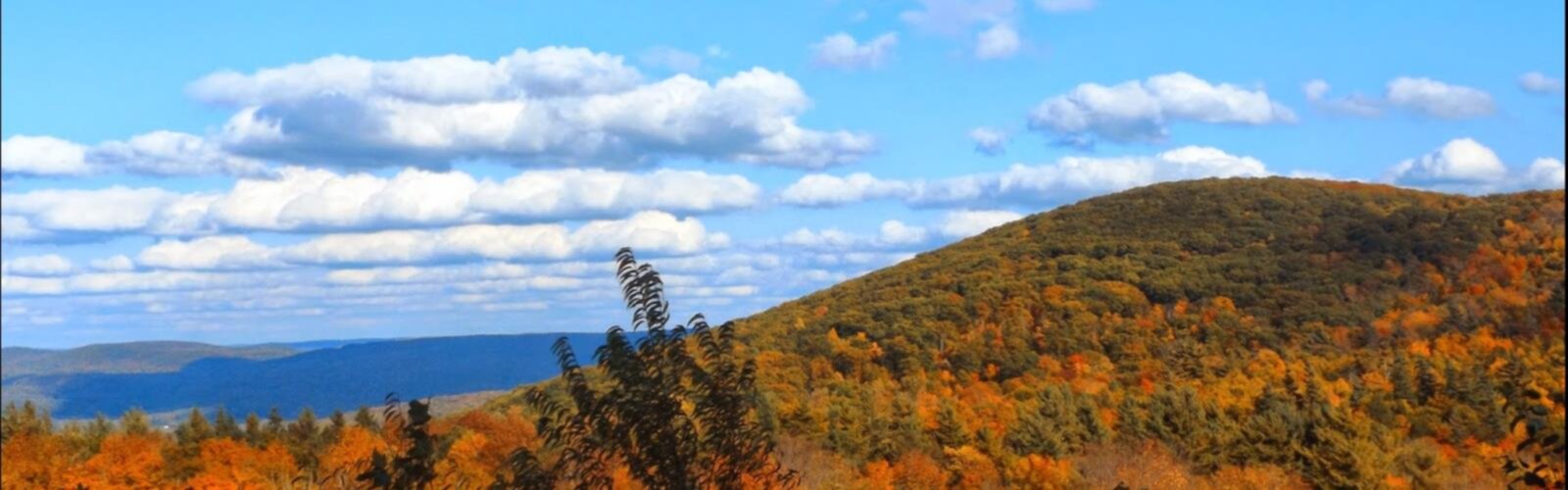

Ready to explore Harvey Mountain, Massachusetts_New York? Here's everything you need to know before you go!
Discover the trail
Oh no! We don't have any photos 😢
This trail hasn't been captured yet. Be the first to share your adventure!Trail description
Harvey Mountain rises from the heart of the Hudson Valley, offering one of the region's most rewarding moderate hikes. This 5.8-kilometer trail climbs 290 meters through diverse terrain, taking most hikers 3 to 4 hours to complete. What sets Harvey Mountain apart from other Hudson Valley peaks is its perfect balance of accessibility and challenge, combined with summit views that rival much more difficult climbs.
The mountain sits strategically positioned to offer panoramic vistas across multiple mountain ranges. On clear days, hikers can spot both the Berkshires stretching into Massachusetts and the Catskills rising to the west. This geographic advantage makes Harvey Mountain a favorite among photographers and anyone seeking that classic Hudson Valley landscape experience without committing to an all-day adventure.
The Trail Experience
The well-maintained trail begins in dense deciduous forest, where the path winds gradually upward through stands of oak, maple, and birch. The initial section feels almost gentle, allowing hikers to warm up while surrounded by the forest canopy. As you gain elevation, the terrain becomes more varied, with occasional rocky sections that require careful footing but nothing technically challenging.
About halfway up, the forest character begins to shift. The trees thin slightly, allowing more light to filter through, and you'll start catching glimpses of the valley below through breaks in the foliage. This is where the trail's moderate rating becomes apparent – the incline increases noticeably, and you'll feel your heart rate climb along with the elevation.
The final approach to the summit involves navigating some rocky outcroppings, but the trail remains clear and well-marked throughout. These upper sections offer the first real taste of the views to come, with periodic openings that frame the Hudson Valley landscape below.
Summit Views and Surroundings
Harvey Mountain's summit delivers on the promise built up during the ascent. The panoramic views stretch across the entire Hudson Valley, with the river itself visible winding through the landscape far below. The Berkshires form a blue-green wall to the east, while the Catskills create a more dramatic skyline to the west. On exceptionally clear days, experienced hikers report being able to identify specific peaks in both ranges.
The summit area itself provides several good spots for rest and photography. Rocky outcrops create natural seating areas where you can spread out lunch and take in the 360-degree views. The elevation and exposure mean it's typically breezy at the top, which feels refreshing after the climb but also means bringing an extra layer is wise, especially during shoulder seasons.
Wildlife and Natural Features
Harvey Mountain supports a healthy ecosystem that changes with elevation and season. White-tailed deer are commonly spotted, particularly in early morning or late afternoon hikes. The diverse bird population includes both forest species like various woodpeckers and warblers, as well as raptors that take advantage of the mountain's thermal currents.
The plant life varies dramatically with the seasons, making this a mountain worth visiting multiple times throughout the year. Spring brings wildflowers that dot the forest floor with color – look for trilliums, bloodroot, and wild columbine in the lower elevations. Summer transforms the mountain into a green cathedral, with full canopy providing welcome shade during the climb.
Fall is when Harvey Mountain truly shines. The mixed hardwood forest creates a spectacular display of autumn colors, with maples providing brilliant reds and oranges while oaks contribute rich yellows and browns. The contrast between the colorful canopy and the distant mountain views creates some of the Hudson Valley's most photographed landscapes.
Planning Your Visit
Harvey Mountain is accessible year-round, though spring and fall offer the most comfortable hiking conditions. Spring temperatures are mild, and the emerging foliage creates an almost ethereal forest atmosphere. Fall combines comfortable hiking weather with peak foliage, though expect more crowded trails during peak color weekends.
Summer hiking is certainly possible but requires more water and earlier start times to avoid the heat. Winter hiking appeals to experienced hikers comfortable with potentially icy conditions, and the bare trees actually enhance the summit views by removing any remaining visual obstructions.
Proper preparation makes a significant difference in your Harvey Mountain experience. Sturdy hiking boots are essential, as the trail includes rocky sections that can be slippery when wet. The 3 to 4-hour duration means carrying plenty of water – at least one liter per person, more during summer months. A detailed trail map helps with navigation, though the main route is well-marked.
The trailhead is easily accessible from Columbia County's road network. Hikers coming from Chatham or Copake can use standard GPS navigation to reach the parking area. The proximity to these towns makes Harvey Mountain an excellent choice for day trips, and the area's NOAA weather station coverage ensures reliable forecasts for trip planning.
Regional Context
Harvey Mountain fits perfectly into a broader Hudson Valley hiking itinerary. The nearby Beebe Hill area offers multiple state forest trails with varying difficulty levels, making it easy to plan multi-day hiking trips or find alternatives if weather or conditions change your plans. The mountain's moderate difficulty also makes it an excellent stepping stone for hikers building up to more challenging Hudson Valley peaks.
The combination of accessibility, manageable challenge, and outstanding views explains why Harvey Mountain has developed a loyal following among both local hikers and visitors to the region. It delivers a genuine mountain hiking experience without requiring the full-day commitment or technical skills needed for more demanding peaks.
The Essential Hiking Checklist
Everything you need for your next hike. Bilingual, printable, 1 page.
Get your free hiking checklistRecommended gear for this trail
As an Amazon Associate I earn from qualifying purchases.


Ready to go?
Everything you need to know before you goStarting Point
To access the hiking trails, you can start at the trailhead located at Bash Bish Falls State Park. The parking lot for this trailhead is situated at 396 NY-344, Copake Falls, NY 12517. Another option is to begin from the Taconic State Park, which has a parking area at 253 NY-344, Copake Falls, NY 12517. Both locations provide convenient access to the trails in the area.
When?
How much?
As an Amazon Associate I earn from qualifying purchases.
Affiliate links — LGPO may earn a commission at no extra cost to you.
- Hiking shoes Essential
- → Salomon Elixir Tour Mid WP · 203.38 $
- Layered clothing Essential
- Rain jacket Essential
- Trekking poles
- → Black Diamond Trail Ergo Cork · 69.99 $
- Headlamp
- → Petzl Actik Core 625 · 103.95 $
FAQ - Frequently asked questions
Everything you need to knowSimilar hikes nearby
Discover other trails you might enjoy
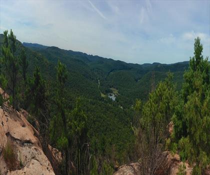
West Mountain
Hudson Valley

Witches Hole
Hudson Valley
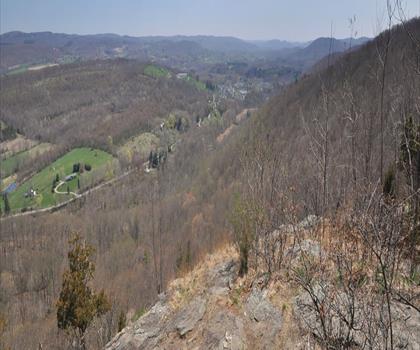
Appalachian Trail
Hudson Valley
Little Dam Lake
Hudson Valley
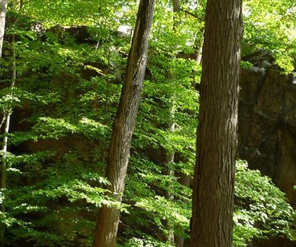
Raven's Rock
Hudson Valley
Sterling Forest Fire Tower
Hudson Valley
Hiking near Albany
0 trails to explore ~47 km away
We work hard to provide the most up-to-date and error-free data possible. If something seems incorrect, let us know! Your contribution helps the whole community.
Hikers' opinions
Be the first to review!
No hiker has shared their experience yet. Share your impressions and help other hikers!