

Ready to explore Parc régional du Mont Ham? Here's everything you need to know before you go!
Discover the trail
Available trails
| Trails | Distance | Elevation | Duration | Difficulty | GPX |
|---|---|---|---|---|---|
| 0.8 km | 0 m | 15min | Beginner | ||
| 0.9 km | 0 m | 15min | Beginner | ||
| 0.9 km | 0 m | 15min | Beginner | ||
| 6 km | 0 m | 1h30 | Intermediate | ||
| 3.2 km | 0 m | 43min | Intermediate | ||
| 1.9 km | 365 m | 59min | Intermediate | ||
| 1.4 km | 0 m | 19min | Intermediate | ||
| 3.2 km | 0 m | 43min | Intermediate | ||
| 2.1 km | 0 m | 28min | Intermediate | ||
| 1.1 km | 0 m | 15min | Intermediate | ||
| 0.4 km | 0 m | 15min | Intermediate | ||
| 1.8 km | 0 m | 24min | Intermediate | ||
| 6 km | 0 m | 1h30 | Advanced |
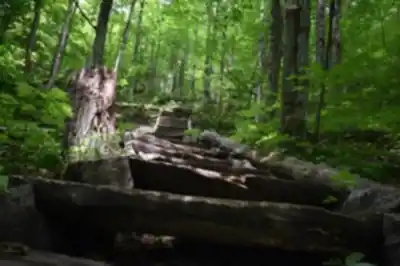
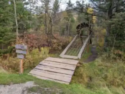
Trail description
Planning your visit
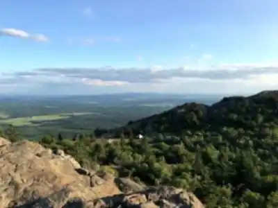
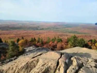
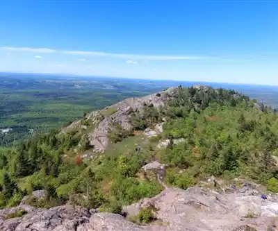
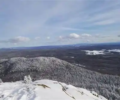
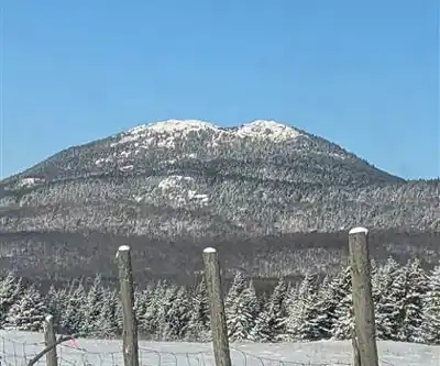
The park features 18 km of marked trails across different difficulty levels, including the popular Grande Boucle (Full Loop) of 20 km that leads to the summit. The right plan depends on what kind of day you're after. If the summit is your main goal, build in time not just for the climb and descent but for actually being at the top—the panorama is the reason you came, and it deserves more than a few minutes. If you're coming in winter for skiing or snowshoeing, plan your layers for the transition between sheltered forest sections and the open, exposed summit environment, where conditions will feel noticeably different.
Services and amenities
This information may vary by season.
Recommended gear for this trail


Ready to go?
Everything you need to know before you goStarting Point
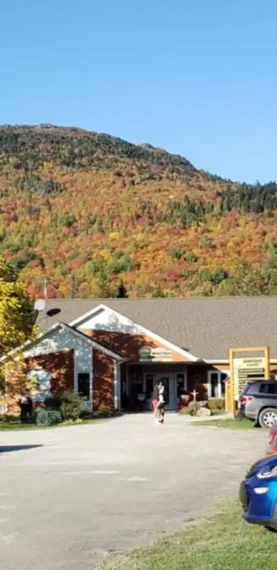
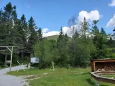
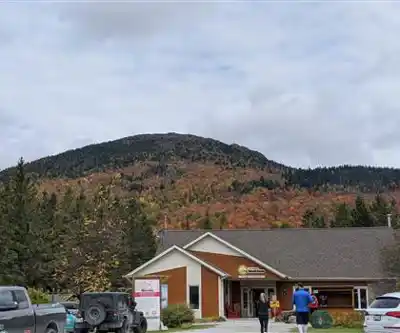
To access the hiking trails, you can head to the main parking lot located at 103 Route du Parc, Ham-Sud, QC J0B 3J0. This is the primary starting point for most of the trails in the area.
When?
How much?
- Hiking shoes Essential
- → Salomon Elixir Tour Mid WP · 203.38 $
- Layered clothing Essential
- Rain jacket Essential
- Trekking poles
- → Black Diamond Trail Ergo Cork · 69.99 $
- Headlamp
- → Petzl Actik Core 625 · 103.95 $
FAQ - Frequently asked questions
Everything you need to knowThe Essential Hiking Checklist
Everything you need for your next hike. Bilingual, printable, 1 page.
Download the free checklistSimilar hikes nearby
Discover other trails you might enjoy

Mount Brome (Bromont)
Eastern Townships

Mont Pinacle
Eastern Townships

Sutton Natural Environment Park
Eastern Townships

Parc De La Gorge De Coaticook
Eastern Townships

Mount Orford National Park
Eastern Townships

Parc national de Frontenac
Eastern Townships
Hiking near Sherbrooke
53 trails to explore ~46 km away
We work hard to provide the most up-to-date and error-free data possible. If something seems incorrect, let us know! Your contribution helps the whole community.
Hikers' opinions