


Ready to explore Station touristique Baie-des-Sables? Here's everything you need to know before you go!
Discover the trail


Trail description
Station Touristique Baie-des-Sables is a recreational destination located in the Estrie region of Quebec, Canada. Tucked into the natural landscape of this part of the Eastern Townships, it offers visitors a chance to get outside and explore the area on foot, with trails that wind through the local terrain and connect you to the surrounding environment.
The Setting
The name itself gives you a sense of what to expect — a bay, sandy shores, and a setting shaped by water. Baie-des-Sables sits within a broader tourist station framework, meaning the site is developed with outdoor recreation in mind. It's the kind of place where the infrastructure supports your visit without getting in the way of the natural experience. Estrie is known for its rolling hills, mixed forests, and lake-dotted landscape, and this station fits naturally into that regional character.
The area draws hikers who want a well-organized outdoor experience in a region that doesn't always get the same spotlight as the Laurentians or Charlevoix, but absolutely holds its own when it comes to scenery and trail quality.
Hiking at Station Touristique Baie-des-Sables
The trail network here is suited to visitors who want to explore the landscape at a comfortable pace. Whether you're coming out for a morning walk or planning a longer outing, the trails give you access to the natural features that define this part of Estrie. Expect a mix of forested sections, open viewpoints, and areas where the proximity to water shapes the trail experience.
The terrain in this part of Quebec tends to be varied — you'll move through wooded corridors, encounter changes in elevation that keep things interesting, and find spots where the landscape opens up and rewards the effort. It's not a flat, featureless walk, but it's also not the kind of place that demands technical skill or specialized gear.
What Makes This Place Worth the Trip
Estrie doesn't always make the top of every hiker's list, but those who know the region understand what it offers: quieter trails, genuine natural beauty, and a pace that feels a little removed from the busier outdoor destinations in Quebec. Station Touristique Baie-des-Sables fits that profile well.
- Water and forest combined: The bay setting means you're not just hiking through woods — the presence of water adds a different dimension to the experience, both visually and in terms of the ecosystems you move through.
- Organized infrastructure: As a tourist station, the site is set up to receive visitors properly. Expect clear trailheads, maintained paths, and the kind of basic amenities that make a day out more comfortable.
- Regional character: This is genuinely Estrie — the landscape, the light, the mix of agricultural and forested land that defines the Eastern Townships. It doesn't feel manufactured or over-developed.
- Accessible for a range of hikers: The site works for families, casual hikers, and anyone who wants to spend time outside without committing to a demanding backcountry experience.
Getting There and Practical Information
Station Touristique Baie-des-Sables is located in the Estrie region of Quebec. Before heading out, it's worth checking directly with the station for current trail conditions, seasonal access, any applicable fees, and their policies on dogs or bikes on the trails. Conditions and offerings can vary by season, and the station is your best source for up-to-date information.
Parking is available on site as part of the tourist station setup. Plan to arrive with enough time to get oriented before hitting the trails — the site is worth exploring properly rather than rushing through.
The Estrie Context
Hiking in Estrie means you're in a part of Quebec with a distinct identity. The Eastern Townships have a long history of outdoor recreation, shaped by both the francophone and anglophone communities that have called this region home. The landscape reflects that layered history — old farmland giving way to second-growth forest, lakes that have drawn visitors for generations, and a general sense that this is a place people have always come to in order to slow down and breathe.
Station Touristique Baie-des-Sables sits within that tradition. It's a place that connects you to the natural and cultural fabric of Estrie in a way that feels authentic rather than packaged.
Tips for Your Visit
- Check conditions ahead of time: Quebec seasons can shift quickly, and trail conditions at a waterside location can vary depending on recent weather. A quick call or check of the station's website before you go is always a good idea.
- Bring layers: Even in summer, mornings near the water can be cool. Estrie weather is variable, and being prepared makes the difference between a great day and a cut-short one.
- Give yourself time: Don't just hike and leave. The bay setting is worth sitting with for a bit — find a spot near the water and take it in before heading back to the car.
- Respect the site: As a managed tourist station, the trails and facilities are maintained for everyone's use. Pack out what you bring in and stay on marked paths.
Station Touristique Baie-des-Sables is a solid choice for anyone looking to explore the outdoor offerings of Estrie, Quebec — a region that consistently delivers on natural beauty without the crowds you'll find at more heavily promoted destinations.
The Essential Hiking Checklist
Everything you need for your next hike. Bilingual, printable, 1 page.
Get your free hiking checklistRecommended gear for this trail
As an Amazon Associate I earn from qualifying purchases.


Ready to go?
Everything you need to know before you goWhen?
Tuesday: 9:00 AM – 4:00 PM
Wednesday: 9:00 AM – 4:00 PM
Thursday: 9:00 AM – 4:00 PM
Friday: 9:00 AM – 4:00 PM
Saturday: 9:00 AM – 4:00 PM
Sunday: 9:00 AM – 4:00 PM
How much?
As an Amazon Associate I earn from qualifying purchases.
Affiliate links — LGPO may earn a commission at no extra cost to you.
- Hiking shoes Essential
- → Salomon Elixir Tour Mid WP · 203.38 $
- Layered clothing Essential
- Rain jacket Essential
- Trekking poles
- → Black Diamond Trail Ergo Cork · 69.99 $
- Headlamp
- → Petzl Actik Core 625 · 103.95 $
FAQ - Frequently asked questions
Everything you need to knowSimilar hikes nearby
Discover other trails you might enjoy

Mount Brome (Bromont)
Eastern Townships
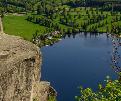
Mont Pinacle
Eastern Townships
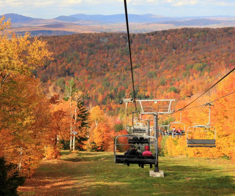
Sutton Natural Environment Park
Eastern Townships

Parc De La Gorge De Coaticook
Eastern Townships

Mount Orford National Park
Eastern Townships

Parc national de Frontenac
Eastern Townships
Hiking near Sherbrooke
53 trails to explore ~78 km away
We work hard to provide the most up-to-date and error-free data possible. If something seems incorrect, let us know! Your contribution helps the whole community.
Hikers' opinions
Be the first to review!
No hiker has shared their experience yet. Share your impressions and help other hikers!