

Ready to explore Parc Écoforestier De Johnville? Here's everything you need to know before you go!
Discover the trail
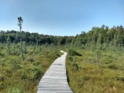
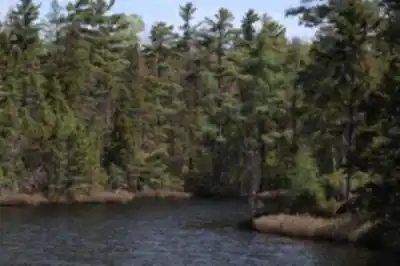
Trail description
If you're planning based on distance, there is a route listed at 5.5 km with about 50 m of elevation gain, rated easy. This typically takes 1 to 1.5 hours to complete, making it suitable for a wide range of hikers, including people who prefer a steadier pace, families who want something manageable, and visitors who are new to hiking but still want a real trail experience.
Recommended gear for this trail


Ready to go?
Everything you need to know before you goStarting Point
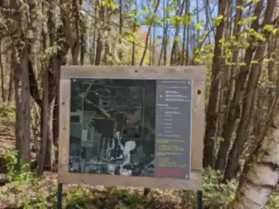
To access the hiking trails, head to the main parking lot located at 3121 Chemin North, Cookshire-Eaton, QC J0B 1M0. This is the primary starting point for exploring the trails in the area.
When?
How much?
- Hiking shoes Essential
- → Salomon Elixir Tour Mid WP · 203.38 $
- Layered clothing Essential
- Rain jacket Essential
- Trekking poles
- → Black Diamond Trail Ergo Cork · 69.99 $
- Headlamp
- → Petzl Actik Core 625 · 103.95 $
FAQ - Frequently asked questions
Everything you need to knowThe Essential Hiking Checklist
Everything you need for your next hike. Bilingual, printable, 1 page.
Download the free checklistSimilar hikes nearby
Discover other trails you might enjoy

Mount Brome (Bromont)
Eastern Townships

Mont Pinacle
Eastern Townships

Sutton Natural Environment Park
Eastern Townships

Parc De La Gorge De Coaticook
Eastern Townships

Mount Orford National Park
Eastern Townships

Parc national de Frontenac
Eastern Townships
Hiking near Sherbrooke
53 trails to explore ~12 km away
We work hard to provide the most up-to-date and error-free data possible. If something seems incorrect, let us know! Your contribution helps the whole community.
Hikers' opinions
Be the first to review!
No hiker has shared their experience yet. Share your impressions and help other hikers!