

Ready to explore Aylmer Lookout? Here's everything you need to know before you go!
Discover the trail
Trail description
The Aylmer Lookout trail in Banff National Park is one of those full-day hikes that earns its reputation the hard way — through distance, commitment, and a payoff that genuinely delivers. At 24 kilometers round trip with an estimated 7.5 hours on trail, this is a serious undertaking that rewards hikers who come prepared and start early.
The trailhead sits at the Lake Minnewanka parking lot, one of the most accessible backcountry entry points in the Banff area. From the moment you leave the parking lot behind, the trail pulls you into dense stands of spruce and fir that define the lower elevation sections. The forest here is thick and quiet, the kind of walking where the canopy closes overhead and the outside world fades quickly. Filtered light, the sound of nearby water, and the soft crunch of trail underfoot set the tone for the first several kilometers.
The elevation gain of 250 meters is modest relative to the distance, which means the trail never throws a brutal sustained climb at you. Instead, the ascent unfolds gradually over the 12-kilometer approach to the lookout. This makes the hike more about endurance and pacing than raw fitness, but don't let the gentle grade fool you — covering 24 kilometers in mountain terrain is a genuine physical effort regardless of how gradual the climb feels.
At the Lookout
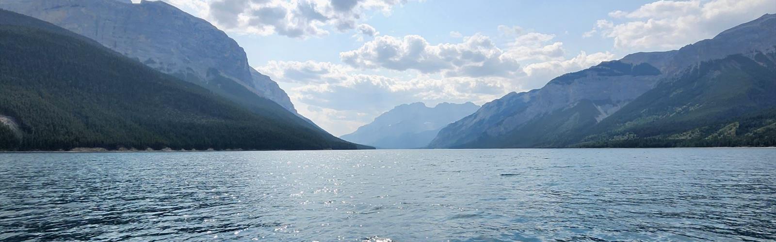
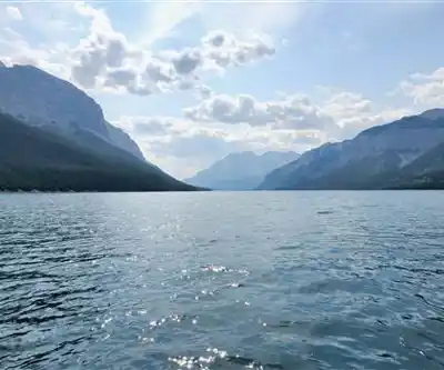
The view from Aylmer Lookout is the reason people make this trip, and it delivers. The panorama sweeps across Lake Minnewanka and the surrounding peaks in a way that reframes the entire landscape you've been walking through. From down at the trailhead, Lake Minnewanka reads as a large lake. From up here, it becomes something else entirely — a long, turquoise ribbon tucked between mountain walls, stretching away into the distance. The layered ridgelines beyond the lake add depth that's hard to capture in photos but easy to feel when you're standing there.
The lookout area has enough space for a group to spread out comfortably, which matters after 12 kilometers of walking. This is where you eat lunch, rest your legs, and take your time before the return trip. Early morning light and late afternoon light both work well for photography here, with the water and cliffs responding dramatically to low-angle sun.
Wildlife
This trail runs through active wildlife habitat. Deer are common along the corridor, particularly in the early morning hours. The bird life shifts as you move through different terrain — songbirds in the dense forest sections, raptors working the thermals near the more open ground around the lookout.
Bear activity is a consistent reality on this trail. Both black bears and grizzly bears use these forests and meadows throughout the season, with activity picking up during berry season in late summer. The length of the route means you're spending extended time in bear country, not just passing through. Bear spray is strongly recommended, and knowing how to use it matters more on a trail like this than on a short loop near the townsite.
What to Bring
The distance and duration drive most of your gear decisions here. Water needs are significant — while streams cross the trail at various points, any natural water source requires treatment before drinking. Carry more than you think you'll need, especially in warm weather. Food matters too; the energy demands of a 24-kilometer day require consistent fueling, not just a snack at the top.
Sturdy hiking boots are the right call given the mix of rocky sections and potentially muddy stretches, particularly during spring snowmelt or after rain. Conditions at the lookout run cooler and windier than at the trailhead, so layered clothing lets you adapt as the day and elevation shift. Sun protection is worth packing for the exposed sections near the summit.
Safety and Planning
Start early. This isn't just standard advice — on a 7.5-hour hike, your start time directly determines whether you're finishing in good light or scrambling to get out before dark. An early start also improves your odds of clear views at the lookout before afternoon cloud builds in, which is common during summer months.
Cell coverage is unreliable along most of this route. Let someone know your plan and your expected return time before you head out. Hiking with at least one other person is advisable given the remote nature of the middle sections of the trail. If something goes wrong out there, you're a long way from help.
Weather moves fast in the mountains. Afternoon thunderstorms are a regular feature of summer in the Canadian Rockies, and being caught in deteriorating conditions several hours from the trailhead is a situation worth actively avoiding. Check the forecast before you go and be willing to turn around if the sky starts looking serious.
Seasons and Trail Conditions
Lower elevation sections typically clear of snow in late spring, though shaded areas can hold snow patches into early summer. Fall is a strong season for this hike — cooler temperatures, fewer people on trail, and good visibility on clear days. The tradeoff is shorter daylight, which makes an early start even more critical in September and October.
Summer brings the longest days and most reliable access, but also the warmest temperatures and highest trail traffic. Peak summer means you'll be walking through the heat of the day no matter how early you start, so hydration and sun protection move up the priority list.
As with all backcountry travel in Banff National Park, Leave No Trace principles apply throughout — pack out everything you bring in, stay on the designated trail, and give wildlife the space they need when encounters happen.
The Essential Hiking Checklist
Everything you need for your next hike. Bilingual, printable, 1 page.
Get your free hiking checklistRecommended gear for this trail
As an Amazon Associate I earn from qualifying purchases.


Ready to go?
Everything you need to know before you goStarting Point
The aylmer lookout is located in the Kananaskis Country region of Alberta. To get to the start of the trails, take the Trans-Canada Highway (Highway 1) to the exit for Kananaskis Country. Follow the signs to the Peter Lougheed Provincial Park visitor centre. From there, follow the signs to the aylmer lookout.
When?
How much?
As an Amazon Associate I earn from qualifying purchases.
Affiliate links — LGPO may earn a commission at no extra cost to you.
- Hiking shoes Essential
- → Salomon Elixir Tour Mid WP · 203.38 $
- Layered clothing Essential
- Rain jacket Essential
- Trekking poles
- → Black Diamond Trail Ergo Cork · 69.99 $
- Headlamp
- → Petzl Actik Core 625 · 103.95 $
FAQ - Frequently asked questions
Everything you need to knowSimilar hikes nearby
Discover other trails you might enjoy
Fossil Mountain
Canadian Rockies

Snake Indian Mountain
Canadian Rockies
Mushroom Peak
Canadian Rockies
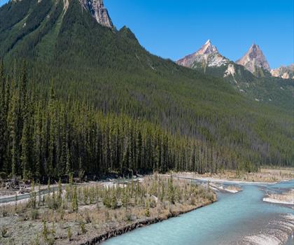
Mount Woolley
Canadian Rockies
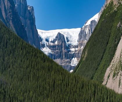
Stutfield Peak
Canadian Rockies
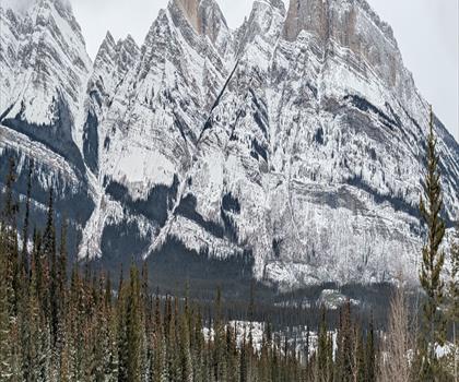
Mount Sarbach
Canadian Rockies
Hiking near Banff
187 trails to explore ~16 km away
We work hard to provide the most up-to-date and error-free data possible. If something seems incorrect, let us know! Your contribution helps the whole community.
Hikers' opinions
Be the first to review!
No hiker has shared their experience yet. Share your impressions and help other hikers!