
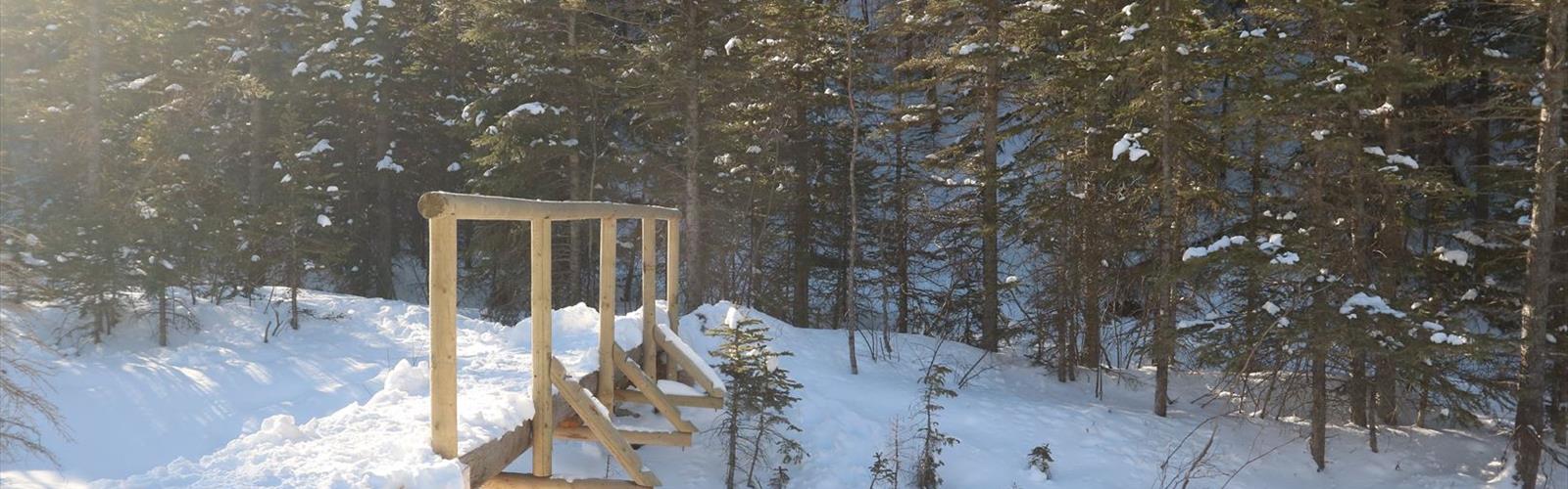

Ready to explore Heart Mountain? Here's everything you need to know before you go!
Discover the trail
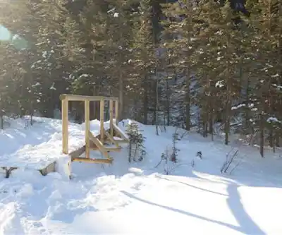
Photos: Thank you for visiting my page from Canada — CC BY 2.0 (Wikimedia Commons)
Trail description
Heart Mountain rises sharply from the Bow Valley floor near Exshaw, Alberta, making it one of the more accessible yet genuinely rewarding peaks along the Front Range of the Canadian Rockies. Positioned just off Highway 1, it sits close enough to Calgary and Canmore to work as a day trip, but the terrain it delivers feels anything but casual. The mountain's distinctive limestone profile and sweeping views across the Bow Valley toward Canmore and the Three Sisters have made it a go-to destination for hikers who want real elevation and real scenery without a long drive to get there.
What makes Heart Mountain stand out among Front Range options is the combination of varied terrain, multiple route choices, and panoramic rewards that genuinely rival more remote destinations. You're not just grinding up a hill for a mediocre view — you're moving through distinct ecosystems, across exposed ridgelines, and into perspectives that put the full scale of the Rockies on display.
The Heart Mountain Horseshoe Loop
The main event here is the Heart Mountain Horseshoe Loop, an 11.2-kilometer circuit with 1,070 meters of elevation gain. Those numbers tell you this isn't a casual stroll — the trail earns its reputation through sustained steep sections, loose scree, and rocky outcrops that demand solid footing and a good fitness base. Plan for roughly 1.5 hours of moving time at a steady pace, though most hikers will want to budget more time to take in the views and navigate the technical sections carefully.
The loop reveals the landscape in stages, which is part of what makes it satisfying. The lower sections move through dense mixed forest where you catch only glimpses of what's ahead, with the sound of the Bow River drifting up from the valley below. As you gain elevation, the trees thin out and the Bow Valley opens up beneath you — Canmore visible in the distance, the Three Sisters dominating the skyline to the west. The loop's design means you're constantly getting new angles on both the valley and the surrounding peaks as you progress around the mountain.
The ridgeline sections are where the hike really delivers. Walking directly toward massive limestone walls with unobstructed views in every direction, you get a clear sense of just how deep and wide this mountain wilderness runs. On a clear day, the visual range extends far into the interior of the Rockies, taking in dozens of named summits.
Alternative Routes
Not everyone needs to commit to the full Horseshoe Loop, and Heart Mountain accommodates that. Shorter trail options on the mountain still provide solid elevation gain and genuine mountain views without the full physical demand of the circuit. These routes work well for hikers building up their experience, families with older kids, or anyone working with limited time. Even the shorter options involve rocky terrain and some climbing, so you'll still get an authentic Rockies experience — just a more contained one.
Terrain and Natural Features
The mountain moves through several distinct zones as you climb. Lower slopes are forested and relatively sheltered, transitioning into open meadows and then exposed rocky ridgelines near the top. This progression keeps the hiking experience varied and gives you something different to look at throughout the day rather than the same scenery for hours.
The exposed limestone formations are worth paying attention to as you move through the upper sections. These rock faces represent ancient sea floors that were pushed skyward over millions of years — the contrast between smooth weathered surfaces and sharp scree fields is a visible record of that geological history.
Wildlife is present across the elevation zones. Lower forested sections see deer moving through the trees, while the steep cliff faces and rocky upper terrain are habitat for mountain goats. Bird life ranges from gray jays and woodpeckers in the forest to ptarmigan and golden eagles at higher elevations. Spring and summer bring wildflowers through the lower and mid-elevation zones, with Indian paintbrush, alpine forget-me-nots, and mountain avens appearing in the upper meadows as the season progresses.
Seasonal Conditions
Summer offers the most straightforward conditions — dry trails, reliable weather windows, and the best wildflower timing. It's also the busiest season, so early starts on weekends help you beat both the crowds and the afternoon heat. Afternoon thunderstorms are common in the Rockies through July and August, making morning starts a practical choice rather than just a preference.
Winter turns Heart Mountain into viable snowshoeing terrain, with snow coverage changing the character of the views and the feel of the route entirely. Spring and fall bring fewer people and dramatic light, but also more variable conditions that require extra preparation and a willingness to turn back if the weather shifts.
Getting There and Practical Notes
The trailhead sits just off Highway 1 near Exshaw, about an hour from Calgary and roughly 20 minutes from Canmore. Parking at the trailhead is adequate for the mountain's popularity, though weekend mornings in summer fill up faster than you'd expect. Arriving early solves both the parking problem and gets you on the trail before the day heats up.
Bring more water than you think you need — there are no reliable water sources along the route. Sturdy boots with ankle support matter here given the scree and rocky sections on the upper trail. Layer up regardless of the forecast, since temperatures drop noticeably with elevation gain and conditions in the Rockies can shift quickly. Check current trail conditions before heading out, and treat the steep sections with respect on the way down, where loose rock can catch you off guard.
The Essential Hiking Checklist
Everything you need for your next hike. Bilingual, printable, 1 page.
Get your free hiking checklistRecommended gear for this trail
As an Amazon Associate I earn from qualifying purchases.


Ready to go?
Everything you need to know before you goStarting Point
To access the hiking trails, you can start at the Heart Creek Trailhead. The parking lot is located just off the Trans-Canada Highway (Highway 1). Take exit 105 and follow Heart Creek Trail Road to reach the parking area. This is the primary access point for hikers looking to explore the trails in this area.
When?
How much?
As an Amazon Associate I earn from qualifying purchases.
Affiliate links — LGPO may earn a commission at no extra cost to you.
- Hiking shoes Essential
- → Salomon Elixir Tour Mid WP · 203.38 $
- Layered clothing Essential
- Rain jacket Essential
- Trekking poles
- → Black Diamond Trail Ergo Cork · 69.99 $
- Headlamp
- → Petzl Actik Core 625 · 103.95 $
FAQ - Frequently asked questions
Everything you need to knowSimilar hikes nearby
Discover other trails you might enjoy
Fossil Mountain
Canadian Rockies

Snake Indian Mountain
Canadian Rockies
Mushroom Peak
Canadian Rockies
Mount Woolley
Canadian Rockies
Stutfield Peak
Canadian Rockies
Mount Sarbach
Canadian Rockies
Hiking near Canmore
200 trails to explore ~16 km away
We work hard to provide the most up-to-date and error-free data possible. If something seems incorrect, let us know! Your contribution helps the whole community.
Hikers' opinions
Be the first to review!
No hiker has shared their experience yet. Share your impressions and help other hikers!