


Ready to explore Confederation Park? Here's everything you need to know before you go!
Discover the trail
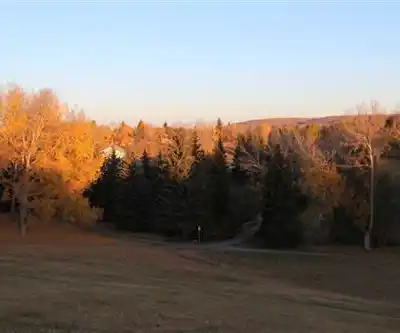
Photos: Thank you for visiting my page from Canada — CC BY 2.0 (Wikimedia Commons)
Trail description
Confederation Park is one of Calgary's most accessible urban green spaces, sitting right in the northwest part of the city and offering a genuine outdoor experience without needing to head west toward the mountains. At 2.5 km with around 200 m of elevation gain, it's a compact but satisfying outing that fits easily into a lunch break or an after-work evening — most people complete it in about 40 minutes.
Don't let the "urban park" label fool you into thinking this is just a flat stroll around a pond. The trail system here has real character, moving through varied terrain and delivering enough of a climb to make it feel like an actual hike rather than a walk in the neighborhood.
Trail Experience and Terrain
The trails at Confederation Park are well-maintained and clearly marked, which makes the experience straightforward whether you're a first-timer or a regular. The route takes you through mature tree cover in the lower sections — welcome shade on a warm Calgary afternoon — before opening up as you gain elevation. That transition from shaded forest to more exposed slopes gives the hike a natural sense of progression.
The 200 m of elevation gain is spread across a short distance, so there are sections where the trail pitches upward noticeably. It's still rated easy, and most reasonably fit people will handle it without issue, but it's enough to get your legs working and your heart rate up. The upper portions of the trail open up the views, which is a solid payoff for the effort.
Footing is generally good on the maintained paths, though like most Calgary parks, conditions can shift after rain or during the shoulder seasons when freeze-thaw cycles affect the surface. Sturdy footwear is always a smart call.
What Makes This Park Worth Visiting
Confederation Park punches above its weight for an urban green space. The combination of tree cover, open slopes, and genuine elevation change creates a hiking experience that feels more substantial than the numbers suggest. It's the kind of place where you can decompress from the city even though you're still technically in it.
The park also works well for people who want to build a hiking habit or introduce kids and beginners to trail walking. The easy difficulty rating and short distance mean there's no intimidation factor, but the terrain is interesting enough to hold attention throughout.
Wildlife and Natural Features
Urban parks in Calgary regularly host deer, and Confederation Park is no exception. Early mornings and late afternoons are the best windows for spotting them in the more open areas. Squirrels are active throughout the day, and the mix of habitats — tree cover, open slopes, and any water features in the park — supports a decent variety of bird species that makes casual birdwatching worthwhile.
Give wildlife space when you encounter it. Keeping your distance and staying quiet tends to result in longer, calmer observations anyway.
Facilities and Practical Information
The park includes picnic areas that work well for a post-hike lunch or a mid-outing break. Benches are positioned at key points along the trails, particularly useful at viewpoints where you'd naturally want to stop anyway. These rest spots make the park accessible for groups with mixed fitness levels, since there's always a comfortable place to pause and regroup.
As an urban Calgary park, Confederation Park is accessible year-round. Parking is available nearby, and the central location means it's reachable by transit as well, which is a genuine advantage over destinations that require a long drive.
Planning Your Visit
Bring water even for a short outing like this — the elevation gain combined with sun exposure on the upper sections can catch people off guard, especially in summer. Layering is a good habit in Calgary regardless of season, since conditions can shift quickly and the exposed upper trail feels different from the sheltered lower sections.
Stick to the designated trails to protect the vegetation and keep the park in good shape for everyone who uses it. Pack out whatever you bring in — it's a small effort that makes a real difference in keeping urban green spaces like this one worth visiting.
Recommended gear for this trail
As an Amazon Associate I earn from qualifying purchases.


Ready to go?
Everything you need to know before you goStarting Point
The confederation park is located in the city of Edmonton in Alberta. To get to the start of the trails, take the Yellowhead Trail (Highway 16) west to the Whitemud Drive exit. Take the Whitemud Drive south to the Anthony Henday Drive exit. Take the Anthony Henday Drive east to the Terwillegar Drive exit. Take the Terwillegar Drive south to the Rabbit Hill Road exit. Take the Rabbit Hill Road west to the park entrance.
When?
How much?
As an Amazon Associate I earn from qualifying purchases.
Affiliate links — LGPO may earn a commission at no extra cost to you.
- Hiking shoes Essential
- → Salomon Elixir Tour Mid WP · 203.38 $
- Layered clothing Essential
- Rain jacket Essential
- Trekking poles
- → Black Diamond Trail Ergo Cork · 69.99 $
- Headlamp
- → Petzl Actik Core 625 · 103.95 $
FAQ - Frequently asked questions
Everything you need to know
25 hikes under 2 hours from Montreal
Distance, elevation, parking and season for each one. The ones we go back to ourselves.
Get the guideSimilar hikes nearby
Discover other trails you might enjoy
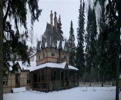
Auburn Bay Lake
Calgary & Area
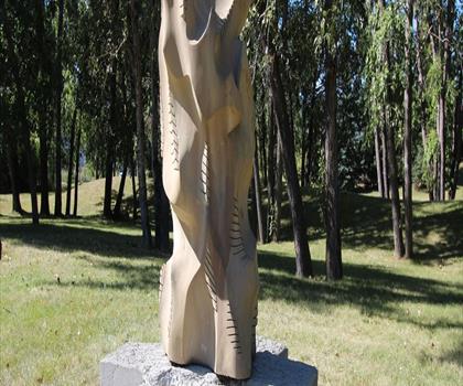
Douglas Fir Trail E
Calgary & Area
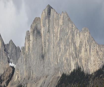
Yamnuska Ridge & CMC Valley Trailhead
Calgary & Area
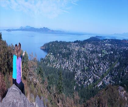
Mount Douglas Park
Calgary & Area
River Park Off Leash Dog Park
Calgary & Area
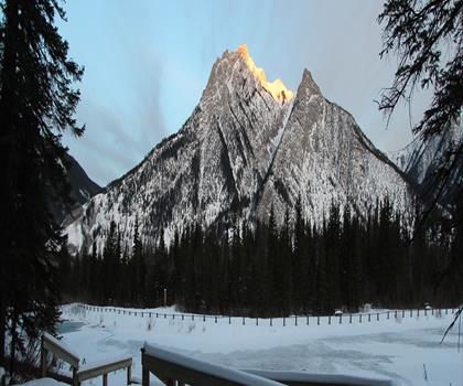
Mt Lorette Ponds
Calgary & Area
Hiking near Calgary
120 trails to explore ~4 km away
We work hard to provide the most up-to-date and error-free data possible. If something seems incorrect, let us know! Your contribution helps the whole community.
Hikers' opinions
Be the first to review!
No hiker has shared their experience yet. Share your impressions and help other hikers!