


Ready to explore Troll Falls? Here's everything you need to know before you go!
Discover the trail


Trail description
Troll Falls is one of those trails that earns its reputation honestly. Tucked into Kananaskis Country about an hour from Calgary, it packs a genuinely satisfying waterfall payoff into a 2.8-kilometer round trip that almost anyone can handle. Whether you're introducing kids to hiking or just want a solid morning out without committing to a full mountain day, this trail delivers.
The trailhead sits at the Stoney Trail Day Use Area, just off Highway 40 in Kananaskis Country. The parking lot fills up fast on summer weekends, so getting there early is worth it — not just for the parking, but because the trail is noticeably quieter before 10 a.m.
The Trail
The route follows Marmot Creek through dense boreal forest the entire way, and the 200 meters of elevation gain spread out so gradually over 2.8 kilometers that you barely register the climb. The trail surface is mostly packed dirt with some rocky stretches, and wooden bridges handle the wetter crossings. It's well-maintained and easy to follow throughout.
From the parking area, you're immediately in thick forest — spruce, fir, and aspen closing in on both sides. The canopy keeps things cool on hot days, and the forest floor stays relatively dry even after rain. Marmot Creek runs alongside much of the trail, and you'll hear it before you see it through the trees. That sound stays with you for most of the hike, which makes the whole thing feel more alive than a typical forest walk.
Around the halfway point, the trees open up a bit and you get better views of the surrounding peaks and the creek itself. This is a natural rest spot — there are flat rocks along the bank where families tend to stop for snacks. During the final stretch, you start hearing the waterfall before you see it, which does a good job of building anticipation without overpromising.
The Waterfall
Troll Falls comes into view gradually as you round the last bend. The water drops in multiple tiers over dark limestone cliffs, with the main drop running roughly 15 meters and the full cascade system extending considerably higher up the rock face. The whole thing feels bigger than you'd expect from a 2.8-kilometer trail.
The viewing area at the base is spacious enough that even on busy days you can find a good spot. Large boulders provide natural seating, and the pool at the bottom stays clear despite the constant flow. During peak snowmelt in late spring and early summer, the volume is impressive and the mist from the falls cools the whole area noticeably. Some people wade into the shallow edges in warm weather, though the water is cold year-round.
Seasonal Conditions
Spring brings the highest water flow as the mountain snowpack melts, which makes the falls at their most dramatic. Trail conditions can be muddy in spots during this period. Wildflowers start showing up along the trail edges in late May and into June — Indian paintbrush, fireweed, and wild roses are common through the forest understory.
Summer is peak season for good reason: dry trails, warm temperatures, and comfortable conditions for all ages. The forest canopy keeps the trail shaded and pleasant even when it's hot. Expect company on weekends.
Fall is when a lot of locals consider this trail at its best. The aspen trees go gold, which creates a sharp contrast against the dark evergreens and the grey limestone at the falls. Crowds thin out, temperatures drop to a comfortable range for hiking, and wildlife activity picks up along the creek corridor.
Winter turns Troll Falls into a completely different experience. The waterfall freezes into layered ice formations that shift throughout the cold months, and the whole scene is genuinely striking. That said, the trail gets icy and requires proper footwear — microspikes or ice cleats are necessary, not optional, once temperatures drop.
Wildlife
Kananaskis Country has healthy populations of both black bears and grizzly bears, and the creek corridor at Troll Falls is exactly the kind of habitat they use, especially during berry season in late summer. Bear spray is non-negotiable here — carry it and know how to use it. Making noise on the trail, particularly in sections where visibility is limited, is just good practice.
Beyond bears, the area supports elk, deer, and various smaller mammals. Bird watchers regularly spot gray jays and Clark's nutcrackers in the forested sections, and woodpeckers are around if you're paying attention.
What to Bring
- Footwear: Hiking boots or trail shoes with solid tread handle the rocky sections well. In winter, microspikes are essential.
- Layers: Mountain weather shifts quickly. A light jacket is worth bringing even on warm days — the mist zone near the falls is noticeably cooler.
- Water and snacks: The distance is short, but you'll still want something to drink. The rocks at the base of the falls make a good lunch spot.
- Bear spray: Required for any hike in this region, regardless of season or how busy the trail is.
Troll Falls sees a lot of traffic, which means Leave No Trace principles matter here more than on quieter trails. Pack out everything you bring in, stay on the marked trail, and give wildlife space if you encounter it along the creek.
The Essential Hiking Checklist
Everything you need for your next hike. Bilingual, printable, 1 page.
Get your free hiking checklistRecommended gear for this trail
As an Amazon Associate I earn from qualifying purchases.


Ready to go?
Everything you need to know before you goStarting Point
The troll falls are located in the Kananaskis Country of Alberta. The easiest way to get there is to take the Trans-Canada Highway (Highway 1) to the exit for Highway 40. Take Highway 40 south until you reach the signed turnoff for the troll falls parking lot.
When?
How much?
As an Amazon Associate I earn from qualifying purchases.
Affiliate links — LGPO may earn a commission at no extra cost to you.
- Hiking shoes Essential
- → Salomon Elixir Tour Mid WP · 203.38 $
- Layered clothing Essential
- Rain jacket Essential
- Trekking poles
- → Black Diamond Trail Ergo Cork · 69.99 $
- Headlamp
- → Petzl Actik Core 625 · 103.95 $
FAQ - Frequently asked questions
Everything you need to knowSimilar hikes nearby
Discover other trails you might enjoy
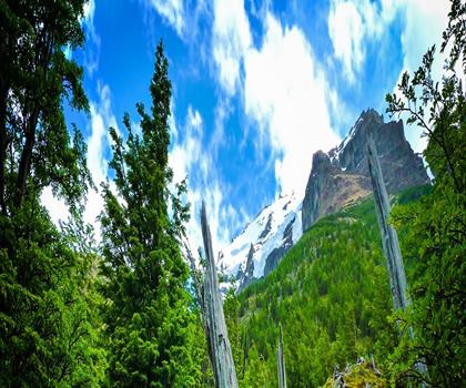
Fossil Mountain
Canadian Rockies

Snake Indian Mountain
Canadian Rockies
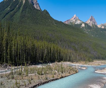
Mushroom Peak
Canadian Rockies
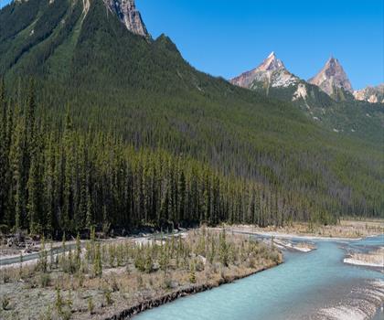
Mount Woolley
Canadian Rockies
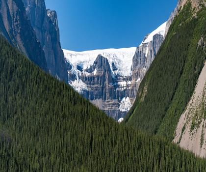
Stutfield Peak
Canadian Rockies
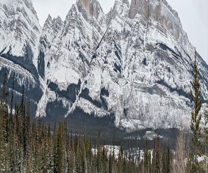
Mount Sarbach
Canadian Rockies
Hiking near Canmore
200 trails to explore ~21 km away
We work hard to provide the most up-to-date and error-free data possible. If something seems incorrect, let us know! Your contribution helps the whole community.
Hikers' opinions
Be the first to review!
No hiker has shared their experience yet. Share your impressions and help other hikers!