
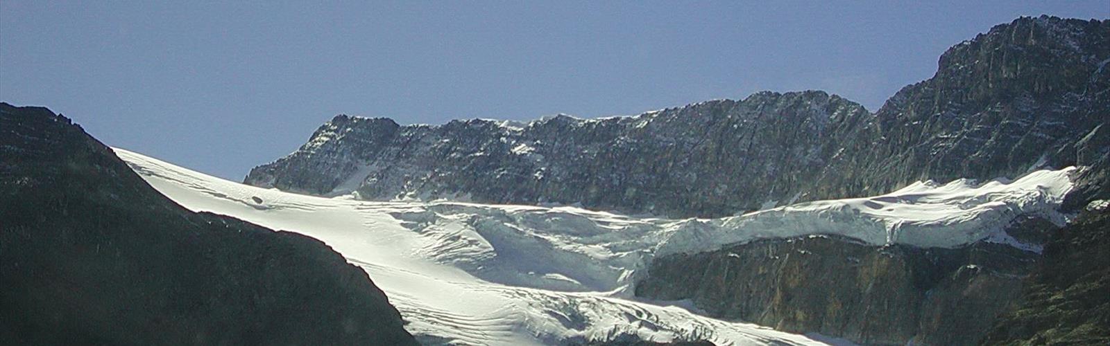

Ready to explore Mosquito Creek Campground? Here's everything you need to know before you go!
Discover the trail
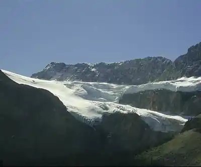
Available trails
| TrailTrails | Dist.Distance | GainElevation | TimeDuration | Difficulty | GPX |
|---|---|---|---|---|---|
|
|
11.19 km | — | 2h30 | GPX |
GPX track: Parks Canada — Open Government Licence – Canada
Trail description
Mosquito Creek Campground sits along the Icefields Parkway in the Canadian Rockies, roughly halfway between Lake Louise and the Columbia Icefield. It's the kind of place that rewards travelers who slow down — a 32-site campground tucked into a narrow valley where limestone peaks rise sharply from the forest floor and the creek runs clear and cold just steps from your tent. The name might give you pause, but don't let it put you off.
The Setting
The campground occupies a tight valley bottom hemmed in by dense subalpine forest and dramatic cliff faces. Old-growth spruce and fir create natural buffers between sites, and the constant sound of Mosquito Creek moving over rocks does a surprisingly good job of masking any traffic noise from the nearby Parkway. On clear mornings, the surrounding peaks catch early light in a way that makes the whole valley feel like it's waking up around you.
The elevation puts you squarely in montane-to-subalpine transition territory. Expect crisp air, significant temperature swings between day and night, and the possibility of frost well into June and again by early September. Even on warm summer afternoons, the valley stays noticeably cooler than lower elevations — pack layers regardless of the forecast.
Hiking from the Campground
One of the strongest arguments for staying here is that the Mosquito Creek Trail starts right from the campground. No driving to a separate trailhead, no jockeying for parking — you just walk out of your site and you're on the trail. That convenience matters more than it sounds after a long day on the road.
The trail covers approximately 8 km with around 200 m of elevation gain, making it accessible for most fitness levels in about two hours of moving time. The lower sections follow an old mining road through dense forest before opening gradually into subalpine meadows. During peak summer months, those meadows fill with wildflowers, and the contrast between the dark treeline and the open alpine terrain above is one of the more satisfying transitions you'll find on an easy-rated trail in the Rockies.
As you gain elevation, the terrain shifts from packed earth to rockier footing, but nothing that requires technical skills or specialized gear. The valley walls above display classic Canadian Rockies geology — layered limestone formations that record hundreds of millions of years of history in the cliff faces. It's worth pausing to look up occasionally rather than keeping your eyes locked on the trail.
Wildlife is a genuine part of the experience here. Mountain goats are frequently spotted on the cliff faces above the valley. Black bears move through the area, particularly when berry patches are producing in late summer. Elk and deer appear near the creek, especially in early morning and evening. Standard bear country protocols apply throughout.
Campground Facilities
The 32 sites operate on a first-come, first-served basis. During July and August, arriving early in the day is the practical move — sites fill up, and there's no reservation system to fall back on. Sites accommodate both tents and smaller RVs, though hookups aren't available. Each site has a picnic table and fire ring. Vault toilets and hand-pump water are available throughout the campground.
This is a deliberately basic setup. No flush toilets, no showers, no camp store. That's not a shortcoming — it's what keeps the campground feeling like actual wilderness rather than a parking lot with trees. The sites vary in size and privacy; those tucked deeper into the trees offer more seclusion, while others are better suited for larger rigs.
Firewood isn't sold on-site, so bring your own or check current regulations regarding deadfall collection. The nearest services are a significant drive along the Icefields Parkway in either direction, so treat your supply list seriously before you leave the highway.
When to Go
The campground typically operates from June through October, with exact dates depending on snowpack and weather conditions each year. June brings the best wildflower potential in the lower meadows but also the mosquitoes that earned the creek its name — a head net and insect repellent are worth packing.
July and August offer the most reliable conditions for both camping and hiking, but also the most competition for sites. September is genuinely excellent: fewer people, stable weather, and the early stages of fall color in the aspen groves and alpine meadows. If your schedule allows flexibility, late August through mid-September hits a sweet spot.
Afternoon thunderstorms can develop quickly over the peaks throughout summer. Check the forecast before heading out on the trail, and be prepared to turn around if conditions change — the exposed sections above treeline offer no shelter.
What to Bring
Self-sufficiency is the baseline expectation here. Bring everything you need for your full stay: food, cooking gear, fuel, water treatment supplies, and appropriate clothing for cold nights and potential rain. Water from the hand pumps is available, but many campers filter or treat creek water as a backup. The water tastes good — treatment is just a sensible precaution in any backcountry-adjacent setting.
Pack out everything you pack in. Food storage is non-negotiable in bear country — use your vehicle or a bear canister, and never leave anything scented unattended at your site. The ecosystem here is genuinely fragile, and sticking to established trails and sites makes a real difference in keeping it that way.
The Essential Hiking Checklist
Everything you need for your next hike. Bilingual, printable, 1 page.
Get your free hiking checklistRecommended gear for this trail
As an Amazon Associate I earn from qualifying purchases.


Ready to go?
Everything you need to know before you goStarting Point
The mosquito creek campground is located in Alberta, Canada. To get to the start of the trails, take Highway 40 west from Calgary to the Kananaskis Village turnoff. Take the exit and drive south for about 5 km until you reach the campground.
When?
How much?
As an Amazon Associate I earn from qualifying purchases.
Affiliate links — LGPO may earn a commission at no extra cost to you.
- Hiking shoes Essential
- → Salomon Elixir Tour Mid WP · 203.38 $
- Layered clothing Essential
- Rain jacket Essential
- Trekking poles
- → Black Diamond Trail Ergo Cork · 69.99 $
- Headlamp
- → Petzl Actik Core 625 · 103.95 $
FAQ - Frequently asked questions
Everything you need to knowSimilar hikes nearby
Discover other trails you might enjoy
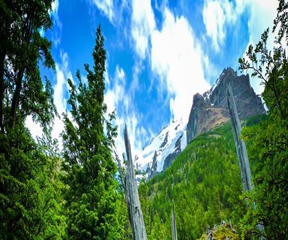
Fossil Mountain
Canadian Rockies

Snake Indian Mountain
Canadian Rockies
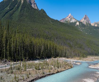
Mushroom Peak
Canadian Rockies
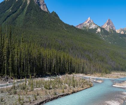
Mount Woolley
Canadian Rockies
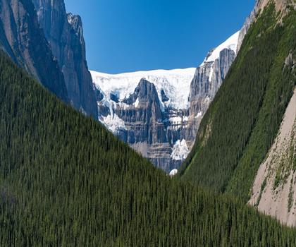
Stutfield Peak
Canadian Rockies
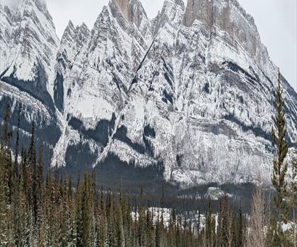
Mount Sarbach
Canadian Rockies
Hiking near Banff
187 trails to explore ~73 km away
We work hard to provide the most up-to-date and error-free data possible. If something seems incorrect, let us know! Your contribution helps the whole community.
Hikers' opinions
Be the first to review!
No hiker has shared their experience yet. Share your impressions and help other hikers!