


Ready to explore Policeman Creek Trail? Here's everything you need to know before you go!
Discover the trail
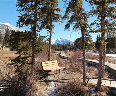
Photos: Thank you for visiting my page from Canada — CC BY 2.0 (Wikimedia Commons)
Trail description
Policeman Creek Trail offers one of the most accessible nature experiences near Canmore, winding 1.6 kilometers through peaceful riparian habitat with minimal elevation gain of just 10 meters. This gentle path follows the meandering waters of Policeman Creek, creating an ideal introduction to Alberta's mountain country for families, casual walkers, and anyone seeking a restorative outdoor experience without technical challenges.
The trail's well-maintained surface makes for comfortable walking while preserving the natural character that draws visitors back repeatedly. Unlike many mountain trails that demand significant physical commitment, this route allows hikers to focus entirely on the surrounding environment rather than navigating difficult terrain. The estimated 48-minute duration makes it perfect for morning walks, afternoon family outings, or evening strolls when golden light filters through the forest canopy.
Trail Experience and Terrain
The pathway closely follows Policeman Creek's natural curves, providing constant water views and the soothing soundtrack of flowing water throughout your walk. The creek itself varies from gentle pools to livelier sections where water tumbles over rocks, creating diverse aquatic habitats that support the area's wildlife populations. Well-placed benches along the route offer rest spots and contemplation points where the sound of rushing water mingles with birdsong.
The trail surface consists of packed earth and natural materials that remain stable in most weather conditions. The minimal elevation change means hikers encounter no steep climbs or technical sections, though the path does include gentle undulations that follow the creek's natural grade. Tree roots and occasional rocks add texture underfoot without creating obstacles for most visitors.
Dense forest canopy provides natural shade for much of the route, making this an appealing choice during warmer months when exposed mountain trails become less comfortable. The creek's proximity creates a naturally cooler microclimate that remains pleasant even on hot summer days. The easy difficulty rating reflects the trail's accessibility for hikers of all ages and fitness levels.
Wildlife and Natural Features
The riparian ecosystem along Policeman Creek supports remarkably diverse wildlife for such an accessible location. Deer frequently appear along the trail, particularly during early morning and evening hours when they come to drink from the creek. Their well-worn paths intersect the main trail at several points, evidence of the area's importance as wildlife habitat.
Birdwatchers will find excellent opportunities throughout the walk, with species ranging from common songbirds to occasional raptors hunting above the water. The creek's beaver population leaves clear signs of their engineering work, including chewed stumps, dam structures, and the distinctive conical shapes of their lodges visible from various trail vantage points.
Wildflowers create seasonal displays that transform the trail's character throughout the growing season. Spring brings early bloomers that take advantage of increased light before the forest canopy fully develops, while summer offers peak diversity with colorful displays lining the path. These floral changes provide returning visitors with new discoveries on each trip.
The creek itself reveals different personalities depending on seasonal water levels and weather patterns. Spring runoff creates more dramatic water features, while late summer's lower flows expose interesting rock formations and create clearer pools where aquatic life becomes more visible.
Photography and Scenic Opportunities
Photographers will find Policeman Creek Trail particularly rewarding for its combination of intimate forest scenes and broader landscape views. The creek provides natural leading lines that draw the eye through compositions, while reflections in calmer pools create mirror effects that work especially well during the golden hours of early morning and late afternoon.
The backdrop of surrounding mountains appears at strategic points along the trail, framed by forest openings that create natural windows for wider landscape shots. These mountain views provide context for the trail's location within the broader Canadian Rockies ecosystem while maintaining the intimate scale that defines the walking experience.
Water photography opportunities abound, from close-up shots of creek details to longer exposures that capture the motion of flowing water. The varied lighting conditions created by forest canopy offer interesting challenges and creative possibilities for photographers working to capture the interplay between light, water, and vegetation.
Wildlife photography requires patience and quiet movement, but the trail's gentle nature allows photographers to position themselves carefully for better shots. The predictable wildlife patterns around water access points increase chances for successful wildlife encounters.
Seasonal Access and Trail Conditions
Policeman Creek Trail remains accessible throughout the year, though each season offers distinct experiences and considerations. Spring brings increased water flow and emerging vegetation, creating dynamic conditions but potentially muddier trail surfaces. Summer provides the most comfortable walking conditions with full forest canopy and established wildflower displays.
Fall transforms the experience through changing foliage colors that reflect beautifully in the creek's surface. The reduced insect activity of autumn makes this season particularly pleasant for extended stops and photography. Winter access continues, though visitors should expect snow-covered conditions that may require appropriate footwear for traction.
The trail's location near Canmore ensures reliable access regardless of season, with maintained road access that doesn't require specialized vehicles or extensive travel planning. This reliability makes it an excellent backup option when weather or conditions eliminate other hiking possibilities, while the short distance and easy terrain mean you can complete the walk comfortably even during shorter winter daylight hours.
Recommended gear for this trail
As an Amazon Associate I earn from qualifying purchases.


Ready to go?
Everything you need to know before you goStarting Point
The policeman creek trail is located in the Kananaskis Country area of Alberta. To get to the start of the trails, take Highway 40 south from Calgary and turn left onto the Smith-Dorrien/Spray Lakes Road. Continue on this road for about 24 kilometers until you reach the trailhead parking lot.
When?
How much?
As an Amazon Associate I earn from qualifying purchases.
Affiliate links — LGPO may earn a commission at no extra cost to you.
- Hiking shoes Essential
- → Salomon Elixir Tour Mid WP · 203.38 $
- Layered clothing Essential
- Rain jacket Essential
- Trekking poles
- → Black Diamond Trail Ergo Cork · 69.99 $
- Headlamp
- → Petzl Actik Core 625 · 103.95 $
FAQ - Frequently asked questions
Everything you need to know
25 hikes under 2 hours from Montreal
Distance, elevation, parking and season for each one. The ones we go back to ourselves.
Get the guideSimilar hikes nearby
Discover other trails you might enjoy
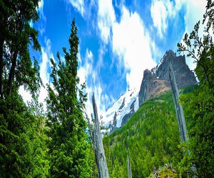
Fossil Mountain
Canadian Rockies

Snake Indian Mountain
Canadian Rockies
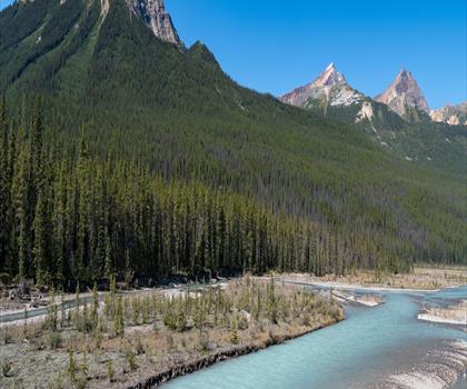
Mushroom Peak
Canadian Rockies
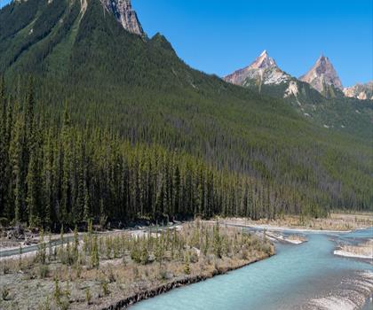
Mount Woolley
Canadian Rockies
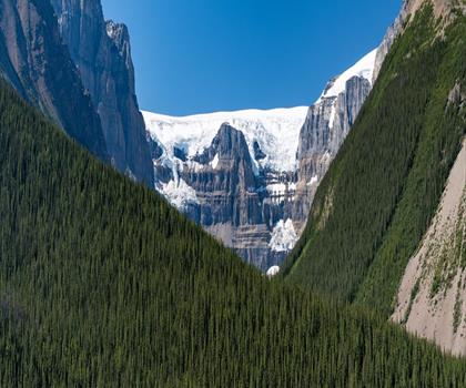
Stutfield Peak
Canadian Rockies
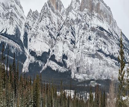
Mount Sarbach
Canadian Rockies
Hiking near Canmore
200 trails to explore ~1 km away
We work hard to provide the most up-to-date and error-free data possible. If something seems incorrect, let us know! Your contribution helps the whole community.
Hikers' opinions
Be the first to review!
No hiker has shared their experience yet. Share your impressions and help other hikers!