


Ready to explore Elbow Falls? Here's everything you need to know before you go!
Discover the trail
Available trails
| TrailTrails | Dist.Distance | GainElevation | TimeDuration | Difficulty | GPX |
|---|---|---|---|---|---|
|
|
2.65 km | — | 35min | GPX |
GPX track: © OpenStreetMap contributors — ODbL 1.0
Trail description
Elbow Falls is one of the most accessible waterfall experiences in the Calgary area — the kind of place you can pull over on a road trip and still walk away genuinely impressed. Sitting right along Highway 66, about 20 kilometers west of the Bragg Creek turnoff, the falls are easy to reach and require almost no planning. That said, there's real natural drama here that goes well beyond a roadside stop.
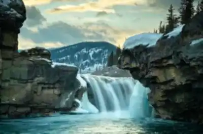
The falls mark the spot where the Elbow River drops over a rocky ledge and bends sharply — the elbow-shaped curve that gives both the river and the falls their name. That geological bend has been carving this gorge for thousands of years, and the result is a landscape that feels surprisingly rugged for how close it sits to the city.
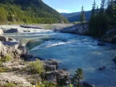
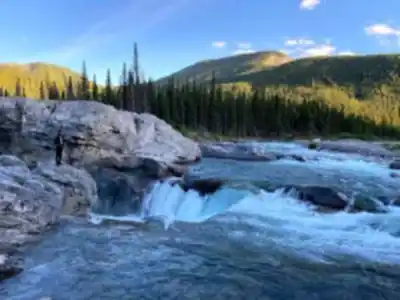
One of the most interesting things about Elbow Falls is how much it changes throughout the year. During drier stretches, the river drops about 6 meters over a single dramatic cascade. Come June, when snowmelt pushes the Elbow to peak flow, the falls spread out to roughly 60 meters wide and appear shorter — closer to 3 meters — but the sheer volume of water more than makes up for the reduced height. The main drop is flanked by smaller rapids and cascades both upstream and downstream, so the show extends well beyond the primary waterfall. Visiting at different times of year genuinely feels like seeing a different place.
The Trail
The trail at Elbow Falls is short and straightforward: 1.6 kilometers total, about 50 meters of elevation gain, and roughly 30 minutes to complete. It loops out from the day use area, following the Elbow River both upstream and downstream from the main falls before returning to the trailhead. The difficulty is rated easy, and that's accurate — this is a trail that works for young kids, older adults, and anyone in between.
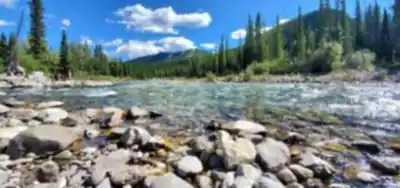
The surface shifts between packed earth and rocky sections, especially as you get closer to the water. There are small wooden bridges and some uneven footing near the riverbank, but nothing that requires hiking boots or trekking poles (though both are always a reasonable idea near water). The trail opens up to several distinct viewpoints: you can look down at the falls from above, work your way toward the base for the full spray-in-your-face experience, or find a quieter stretch of river to sit and watch the current move through the pools below.
What makes the short distance feel worthwhile is the variety packed into it. Beyond the main waterfall, the river offers deep pools where you can often spot trout holding in the current, rocky outcrops good for a rest, and a constant soundtrack of rushing water that follows you the entire way around. The mix of aspen, spruce, and pine along the trail gives way to exposed rock faces near the gorge, which adds some visual interest beyond the water itself.
Facilities and Access
The day use area at the trailhead functions as both a parking lot and a gathering spot. It's worth knowing that the original facilities here were largely destroyed in the 2013 Alberta floods, when the Elbow River overflowed its banks and reshaped the entire area. The flooding wiped out the picnic infrastructure and most of the paved pathways, and it dramatically altered the riverbed — replacing soil and established trees with mounds of rock and a restructured channel. The rebuilt facilities are more basic than what existed before, but the trade-off is a setting that feels more natural and less manicured than a typical day use area.
The floods also left a visible mark on the landscape that's still apparent today. That raw, rocky character is part of what gives Elbow Falls its particular feel — it doesn't look like a groomed park, and that's not a bad thing.
For anyone looking to extend the trip, several campgrounds operate in the surrounding area, making Elbow Falls a natural anchor point for a longer Kananaskis Country itinerary rather than just a quick stop.
When to Go
Spring — particularly May and June — brings the most dramatic water flow as snowmelt swells the river. The falls are at their most powerful during this window, though the trail can be muddy and shaded sections may hold ice into late spring.
July through September offers the most comfortable conditions for spending time near the water. The falls are calmer during dry stretches, but lower water levels make it easier to explore the rocky areas around the base and get closer to the action without getting soaked.
Fall is a strong choice for the foliage alone — the aspens turn a sharp golden yellow that contrasts well with the dark rock and evergreens. Water levels are typically moderate, and the cooler air makes the short hike genuinely pleasant.
Winter visits are possible but require extra caution. Ice builds up on both the trail and the viewing areas near the water, and conditions can be unpredictable. If you go in winter, traction devices are a smart addition.
Fitting It Into a Larger Trip
Because Elbow Falls sits directly on Highway 66, it fits naturally into almost any drive through the Elbow Valley or broader Kananaskis Country. The 30-minute time commitment means it works as a standalone stop or as part of a longer day that includes other trails and viewpoints in the area. It's the kind of place that rewards a quick visit but also holds up if you decide to linger along the river longer than planned.
Recommended gear for this trail
As an Amazon Associate I earn from qualifying purchases.


Ready to go?
Everything you need to know before you goStarting Point
The elbow falls are located in Kananaskis Country, Alberta. To get to the start of the trails, take the Trans-Canada Highway (Highway 1) west to the exit for Kananaskis Country. Follow the signs to the elbow falls parking lot.
When?
How much?
As an Amazon Associate I earn from qualifying purchases.
Affiliate links — LGPO may earn a commission at no extra cost to you.
- Hiking shoes Essential
- → Salomon Elixir Tour Mid WP · 203.38 $
- Layered clothing Essential
- Rain jacket Essential
- Trekking poles
- → Black Diamond Trail Ergo Cork · 69.99 $
- Headlamp
- → Petzl Actik Core 625 · 103.95 $
FAQ - Frequently asked questions
Everything you need to know
25 hikes under 2 hours from Montreal
Distance, elevation, parking and season for each one. The ones we go back to ourselves.
Get the guideSimilar hikes nearby
Discover other trails you might enjoy
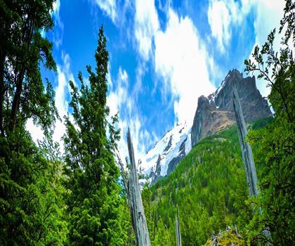
Fossil Mountain
Canadian Rockies

Snake Indian Mountain
Canadian Rockies
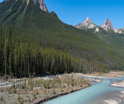
Mushroom Peak
Canadian Rockies
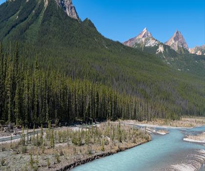
Mount Woolley
Canadian Rockies
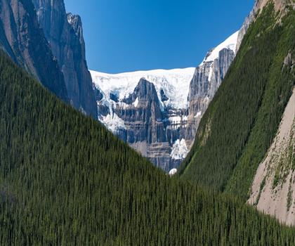
Stutfield Peak
Canadian Rockies
Mount Sarbach
Canadian Rockies
Hiking near Canmore
200 trails to explore ~47 km away
We work hard to provide the most up-to-date and error-free data possible. If something seems incorrect, let us know! Your contribution helps the whole community.
Hikers' opinions
Be the first to review!
No hiker has shared their experience yet. Share your impressions and help other hikers!